
Altering a Rural Landscape
C&O Big Sandy SUBDIVISION
Introduction
The Chesapeake and Ohio Railroad changed the appearance of the Levisa Fork of Big Sandy River watershed. Its construction saw mountains blasted away and/or tunneled, streams bridged, and family homesteads and farmlands divided. The most obvious changes, however, were additions which accompanied the rails: mines, tipples, sidetracks, freight stations, depots, and, most noticeable of all, coal camps and towns built by the coal companies.
The Grand Scheme: A Regional Railroad Across Virginia and Kentucky
The grand scheme to establish a regional railroad thoroughfare—beginning at Chesapeake Bay and reaching westward across Virginia and Kentucky toward Nashville—was not a vision that suddenly appeared with the coming of the railroad age. Its roots reached back decades, growing out of a problem that was becoming increasingly difficult to ignore: how would the enormous agricultural production of the expanding interior states ever reach the markets of the East?
As early as 1848, agricultural estimates anticipated extraordinary increases in corn production. Growers and observers estimated that several states, including Pennsylvania and Virginia, could produce approximately 350,000,000 bushels of corn, with projections reaching 550,000,000 bushels by 1860. The existing means of transportation—short-span railroads, river navigation, and wagon roads—could not adequately handle such an immense volume of agricultural production.
Virginia had recognized this problem for nearly half a century. Again and again, the state called for a great transportation thoroughfare across her lands, one capable of carrying the increasing production and commerce of the interior to the Chesapeake and, ultimately, to the markets beyond. This was more than a local transportation improvement. It represented a regional economic strategy, linking the agricultural and mineral wealth of the interior with the great eastern markets.
As early as 1848, agricultural estimates anticipated extraordinary increases in corn production. Growers and observers estimated that several states, including Pennsylvania and Virginia, could produce approximately 350,000,000 bushels of corn, with projections reaching 550,000,000 bushels by 1860. The existing means of transportation—short-span railroads, river navigation, and wagon roads—could not adequately handle such an immense volume of agricultural production.
Virginia had recognized this problem for nearly half a century. Again and again, the state called for a great transportation thoroughfare across her lands, one capable of carrying the increasing production and commerce of the interior to the Chesapeake and, ultimately, to the markets beyond. This was more than a local transportation improvement. It represented a regional economic strategy, linking the agricultural and mineral wealth of the interior with the great eastern markets.
The language used by contemporary writers reveals just how deeply this idea had taken hold. An article published in the American Union on December 8, 1855, described the relationship between Virginia and Kentucky in almost familial terms. At the mouth of the Big Sandy, the writer declared:
“Virginia shakes hands with her daughter, Kentucky, who has long been importuning her tardy Mother Virginia for permission to pass her rich treasures through the Ancestral Domain to the Chesapeake. This was more than colorful newspaper language. It expressed the fundamental geographic and economic argument behind the proposed railroad: Kentucky possessed the resources, agricultural production, and commercial potential, while Virginia provided the natural corridor toward the Chesapeake. The Big Sandy River became one of the most important gateways through which Kentucky could seek access to eastern markets.
By 1854, the proposed railroad was already attracting attention beyond Kentucky and Virginia. The Monongalia Mirror, on June 24, 1854, reported:
“Ashland is giving the name to a town recently laid out on the Ohio River 8 miles below the mouth of the Big Sandy, at the point of the Ohio River where the Lexington and Sandy Railroad will strike.”
The location of Ashland was therefore not incidental. It was positioned at a strategic transportation junction—the Ohio River and the mouth of the Big Sandy—where the proposed railroad could connect the resources of eastern Kentucky with the waterways and markets of the Ohio Valley.
The Lexington and Big Sandy Railroad was incorporated in 1852, marking an important institutional step toward making this larger regional vision a reality. Yet the undertaking proved difficult. Only approximately 21 miles of railroad were constructed, extending from Ashland to Denton, before the original company was unable to complete the great undertaking.
The vision, however, did not disappear. In 1869, the railroad property was deeded to the Elizabethtown, Lexington and Big Sandy Railway Company, which took up the unfinished work. Under the new company, construction proceeded westward, ultimately completing approximately 103 additional miles of track toward Lexington.
What had begun decades earlier as a vision for a great transportation thoroughfare was finally becoming a physical reality. The railroad was no longer merely an idea on paper or a promise in newspaper columns—it was becoming the steel pathway that would connect the Ohio River, eastern Kentucky, and the interior of the state with Lexington and the markets beyond.
1873: C&O Railroad completed its 419 miles of railroad track from Richmond, Virginia to the Ohio River at Huntington West Virginia. That year the town was built and named after Collis P. Huntington. Collis Huntington intended to connect the C&O with his Western and Mid-Western holdings, but had much other railroad construction to finance and he stopped the line at the Ohio River. Over the next few years he did little to improve its rough construction or develop traffic. The only connection to the West was by packet boats operating on the Ohio River. Because the great mineral resources of the region hadn’t been fully realized yet, the C&O suffered through the bad times brought on by the financial panic Depression of 1873.
1878: Financial panic forced the company into bankruptcy and receivership, it reorganized under Chesapeake and Ohio Railway Company. C&O’s coal resources began to be developed and shipped eastward.
1881: The C&O Railway gained its connection with the Elizabeth, Lexington and Big Sandy Railroad giving it access to Ashland and Lexington began December of this year. Peninsula Subdivision was completed from Richmond to the new city of Newport News located on Hampton Roads, the East’s largest ice-free port. Transportation of coal to Newport News where it was loaded on coastwise shipping and transported to the Northeast became a staple of the C&O’s business at this time.
1882 The C&O Railway completed its extension west from Huntington to the Ohio River crossing, while Kentucky railroad simultaneously completed its line eastward to the river.
Thus, the story of the Lexington and Big Sandy Railroad should not be viewed simply as the construction of a railroad between two Kentucky communities. It was part of a much larger nineteenth-century transportation vision: to open the interior, move its agricultural and mineral wealth toward the great markets of the East, and create a continuous commercial connection between Kentucky and the Chesapeake.
The Big Sandy corridor was therefore more than a river valley. It was a gateway. And the railroad that followed it represented the fulfillment of a transportation dream that had been developing for generations.
The beginnings of what is now the Big Sandy Division of the C&O Railway Company were originally laid by the Chattario Railroad Company, incorporated March 11, 1873. Col. F.T.D. Wallace one of the incorporators, largely was the most instrumental in getting Right of Ways from Ashland, Catlettsburg, and Louisa, and after much survey work and buying of way. The first shovel of dirt was turned for a narrow-gauge railroad on April 1,1880, but soon after was changed to Standard Gauge Rail. On April 10, 1881, rail was laid to the small town of Louisa and the first locomotive arrived with cars and materials. Three miles above Louisa the railroad left the river, passing through Three Mile Creek, crossing over and up Griffin Creek to Peach Orchard Tunnel, which was 7\8 miles long completed in 1882. Coal at Peach Orchard was transported by Rail and loaded onto barges on the river. In the spring of 1883, it operated between Ashland and Peach Orchard about 45 miles.
There were several failed attempts to launch the completion of the Big Sandy Valley Railway to Praise (Elkhorn City). On April 25th, 1884, John R. Deer Co., a prominent contractor from Duluth, Minnesota was supposed to begin construction on May 1st, 1884. Records show that did not happen.
[Evening Bulletin April 25th, 1884, page 3]
Shortly afterwards, the rail-line continued down Gates Creek coming out again on the Big Sandy at Richardson, 49.72 miles. Chattario Railroad operated until June 30, 1885. The Chattario Railway property was operated by the company’s own organization from its track completion to July 1st, 1885.
The Ohio, Kentucky and Virginia Railroad. Incorporators, Jay H. Northup, Wallace J. Williamson, George L. Richardson, M. B. Goble, Walter S. Hawkins, of Kentucky; D. B. Harris, of Vermont; Anson Maltby and H. H. Holister, of New York, and John Carlisle, of Ohio; capital stock $1,000,000. Route of road, from a point on the Ohio river in Boyd County, by the most practicable route to the West Virginia and Virginia State line and may connect with any road built through the eastern part of the State of Kentucky or the adjacent States. Charter approved April 19, 1886.
[Railroad Commission Report 1886]
November 7, 1887, Charleston, Cincinnati & Chicago Railroad and Ohio, Kentucky & Virginia Railway Co. signed an Agreement. The Chattario Railroad extension was built under O, K & V Railway Co’s name.
[Pike County Deed Book, W, Page 487]
Railroad was conveyed to several investors by J.H. Northup April 26, 1888. On August 20, 1889, the Chattario Railroad was sold to Ohio and Big Sandy Railroad.
On December 8th, 1894, Thompsons Brothers Co. got the go ahead to complete the Ohio & Big Sandy Extension from Whitehouse to Elkhorn City construction started on January 15th, 1895. Construction never got started.
[December 8th, 1894, the Evening Bulletin].
March 5th, 1897, the branch lines from Ohio to the Big Sandy Railroad to Grassy Creek are now completed. (Daily Public Ledger Page 4.)
In 1899 a listing in the Poor’s Manuals of Railroads advertised the railroad was upgraded to standard gauge rail from Richardson to Whitehouse.
The Big Sandy Railroad Co. of Boyd County Kentucky officially file articles of incorporation (The Paducah Sun April 7, 1902, page 1). The Big Sandy Railroad Co. was the official construction arm of the Chesapeake and Ohio Railway Company. They filed Articles of Corporation papers three (3) days after the contract was awarded for railway construction.
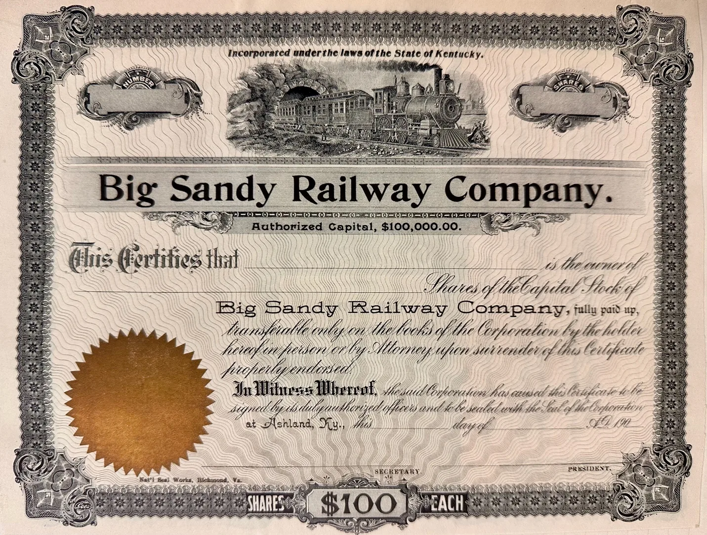
- The purpose for incorporating the Big Sandy Railway Co. was laid out in its Articles of Incorporation. The undersigned listed was G.W. Stevens, Decatur Axtell, H.T. Wickham, C.E. Wall, G.W. Lewis, J.E. Scott, W.H. Wadsworth and T.D. Wallace.
- In the ninth paragraph, on page 2.
- For owning, constructing, operating and managing of a railroad, with branches to coal mines, and sidings, from a point of connection with the Ohio River and Charleston Railway Company of Kentucky at or near Whitehouse in the County of Johnson, State of Kentucky, thence extending up the tributaries of the Big Sandy River, through the Counties of Floyd and Pike in the State of Kentucky, to a point in the said County of Pike on the State line at or near the Breaks of the Sandy, and to a point in the said County of Pike on the Virginia State line at or near the point where the Levisa Fork of the Big Sandy River crosses said Virginia State line, a distance of 80 miles be the same more or less.
- To purchase, hold and own all property, and to hold franchise rights.
- To cause such examinations and survey for the purposed railroad to be made as it may be necessary to the advantageous route for said, and for such purpose, by its said officers, agents or servants, to enter on such lands or waters of any person, but subject to liabilities for all damages which shall do thereto.
- To receive, hold, enter upon, take possession of voluntary grants and donations of real and other property a shall made to it, to aid in construction, maintenance and operation of road.
- To purchase, hold and enter upon, and take possession of all real estate, franchises and other property necessary for construction, maintenance and operating said road.
- To layout roads not exceeding one hundred feet in width, and if one or more tracks are laid, fifty feet additional for each track………….
- To construct its road upon or across water course, private or plank road, highway, street, lane, alley and across any railroad or canal maybe enter upon, shall not obstruct the navigation of any stream, or obstruct anu public highway………………
- Corporation shall have the right to borrow money, execute obligations and also mortgages upon its corporate property……………
- Said corporation may, unless otherwise provide by law, consolidate into single company with one or more railroad companies, or lease any one or more railroads………….
The Chesapeake and Ohio Railway Company is in the process, completing the construction and laying of rail of 128.7-mile journey, leaving the main line at Big Sandy Junction at Catlettsburg and following the Big Sandy River to Praise, Ky.
Torchlight
Torchlight as a coal camp operating approximately from 1903 to 1925 and identifies it as both destroyed and occupied in the historical coal-camp record. It corresponds to the era when eastern Kentucky’s coal industry was rapidly expanding and coal companies were establishing camps throughout the Big Sandy region. Torchlight’s location connected it to Louisa and the Big Sandy economy.Torchlight was only about six miles south of Louisa, putting the mining community close enough to an established town while remaining directly tied to the mine and railroad.
Miners Wanted
50 miners wanted at Torchlight, Ky. Steady employment. Apply to John Wallace, formerly Supt. Peach Orchard mines, now in charge of Torchlight mines. We pay 75 cents per ton for mining lump coal.
Torchlight Coal Co., Louisa, Ky
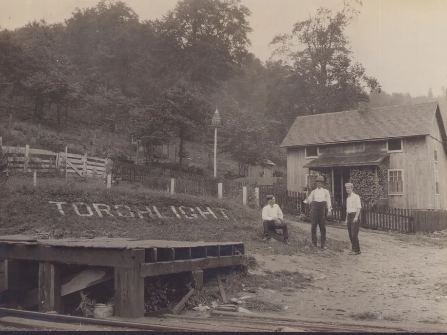
[Everett Young Collection]
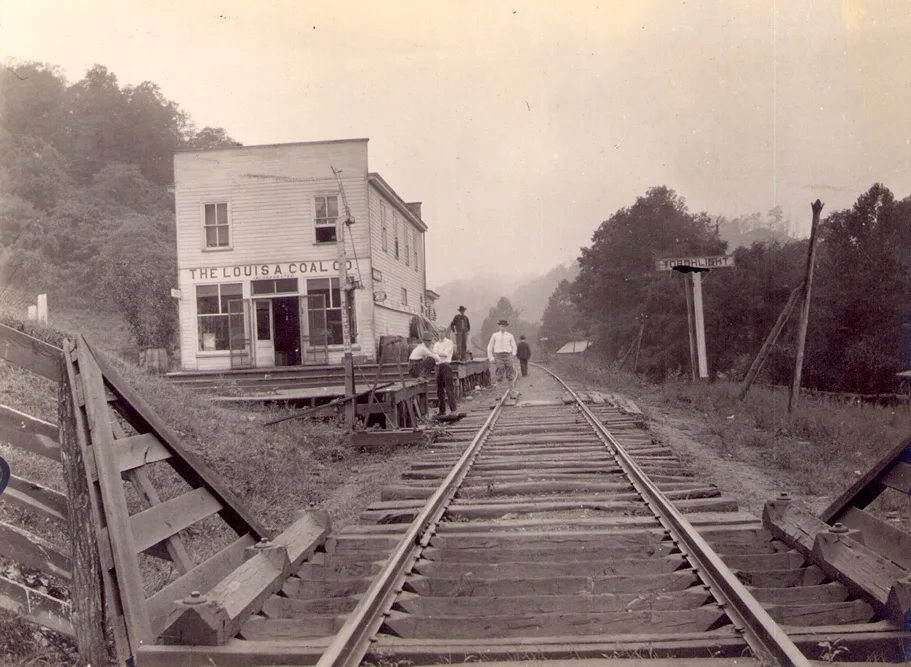
[Everett Young Collection]
Whitehouse
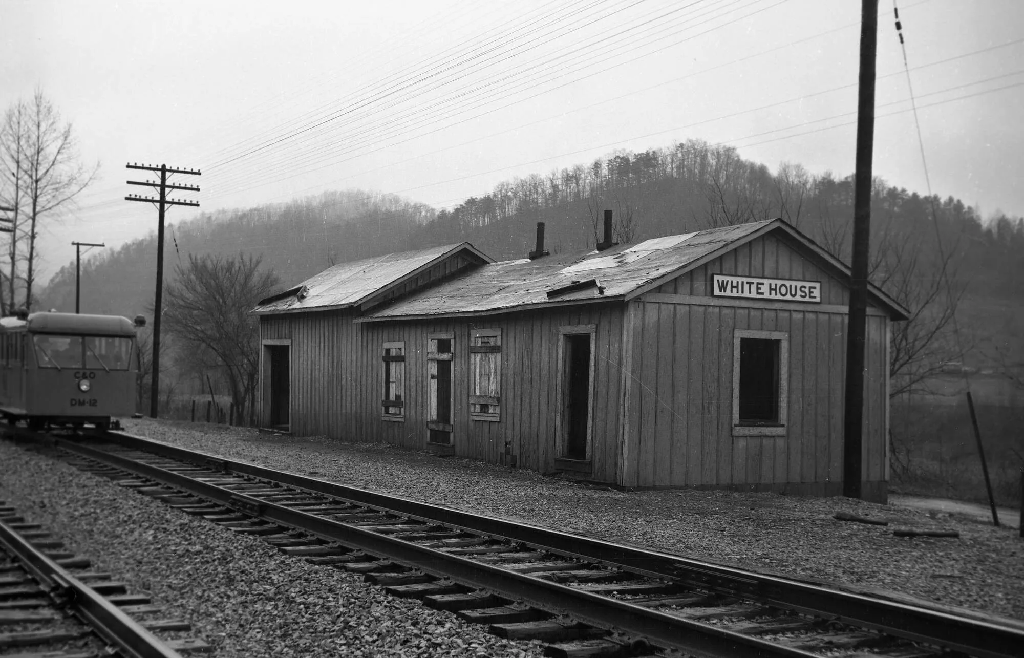
April 4th, 1902, Big Sandy Railway Company started construction and buying right of ways from Whitehouse to Breaks near Praise, Kentucky. The general contractor for the construction of the Big Sandy Railway Branch of the Chesapeake and Ohio Railway was Langhorne, Johnson and Company, according to The Railway Age Magazine Langhorne was awarded the entire 77-mile project until completed to Breaks (Praise) Kentucky. C.D. Langhorne, C.I. Johnson, J.A. Briggs, and John Pitts were listed in Floyd County Court pass records as being stockholders [Harkins Papers]. The first sublet contractor for the first ten miles was Langhorne and Rickets which ended up near Mr. Vanhouse’s(spelled)house. They were responsible for grading and construction for the Big Sandy Railroad from Whitehouse to “Hell’s Gate”. The two stockholders of Langhorne and Rickets were C.D. Langhorne and C.D. Rickets. E.T. Morris was Langhorne, Johnson & Companies civil engineer and manager in charge for the construction representing Langhorne, Johnson and Company.
Also on April 4, 1902, there two engineering corps reported in the news last week as having gone to the breaks of the Sandy, under charge of L. B. Allen and A. V. Lester, is working for the C. & O. railroad companies. A considerable number of supplies have been sent to them. Another Survey Corps employed by the Seaboard Air Line are also at work locating a railroad line in a section of the Breaks, with a view to taking out the minerals in the other direction. On last Monday three officials of the C. & O. started on a trip through the valley above Whitehouse to see what can be done in the matter of securing rights of way, and the result of their investigation will probably have much to do with settling the question of whether or not the road will be extended from Whitehouse to the Virginia line. These officials are Engineer of Construction Cabell. Real Estate Agent Garrett Wall, Jr., and Solicitor F. T. D. Wallace
(Big Sandy News, April 4,1902 page 3).
June 20, 1902, word had been received from Dorton, Kentucky that Col. Spradling while surveying near Pine Mountain had found two big corn pone sizes of pure lead. He stated that coal is not all of value in these rock rib hills, but what is interesting is the stories that were told from the Shelby Creek area of Dorton. Reports were written that some folks heard blasting near the Mouth of Shelby from railroad crews. John McDyer spotted with Langhorne’s Bros. engineering group (Big Sandy News). September 9, 1902, Two Hundred men were spotted making grade on Shelby Creek, which had not happened because that did not occur until 9 years later in 1911. Probably what they had seen was Langhorne men on Shelby Creek upgrading the state and county road. Newspaper accounts do give credit for Langhorne’s survey crew working on Shelby Creek, Shelby and Elkhorn Creek with J.L. Pridable civil engineer employed with Northern Coal and Coke Co.
Even though the Big Sandy Railway Co. had already started construction toward Praise (Elkhorn City). The Northern Coal and Coke Co. still was undecided on which way to service upper Shelby Creek, Elkhorn Creek, Both Forks of Beaver Creek and Upper Kentucky River by railways to remove the Elkhorn Coal Seam. Two were two extraction points that may have been considered that may shed some light on the subject. The first projected path stands out on a purchase of a mineral deed dated January 16, 1902, by a company named Midland Coal and Iron Co., a Northern Coal and Coke controlled company. Buys mineral rights on a tract of land located in the very head of Marshall’s Branch on Shelby Creek, paralleling the head of Left Beaver Creek. This was not your typical Title Bond buyout like most transactions where the property owner gave everything up except their home. Rebecca Calhoun was this lady’s name. This conveyance discussed the part interest that might be owned in the Corley Smith Survey which Ohio and Big Sandy purchased rights to. Rebecca Calhoun conveys all minerals except Gold, Silver and the kicker Lead. What lead all the mineral conveyance deeds in this area to accept Gold and Silver by local property owners, because of the first licensed GOLD MINE in the State of Kentucky issued to “Painter” Harvey Johnson and Mathew Tackett located in Beaver Gap. It was later discovered that it was Iron Pyrite found in the vicinity of the High Sulfur Amburgy Seam. The Coal Speculator had known that there were no precious metals to be found within several hundred miles of Eastern Kentucky. Second item that stood out was Rebecca Calhoun wanted to be covered for damages occurring to her Farm, Orchards, Garden and Dwellings by Railroads on her lands. And thirdly Rebecca Calhoun wanted to keep her Water Rights, and an Exclusion excepted out by previous deal for 90 Poplars sold to Jasper Tackitt and Co. Now the question exists: did Rebecca Calhoun see Railroad Surveyors near her lands or maybe a Narrow-Gauge Railroad was in Midland Coal and Iron Companies plans. Midland Coal & Iron Co. Title Bonds were assigned to Northern Coal & Coke Co. [Pike County Deed Book 24 Page223]. A few months later Daniel R Johnson would purchase this land from Rebecca Calhoun with the intent of Timbering. In 1910 Daniel R Johnson conveyed this property to Collins & Mayo Collieries. Then in 1913, Collins & Mayo Collieries leased this property to Milwaukee Coke & Coal for the construction of the mighty (Incline) that built Weeksbury. This may be the reason Daniel R Johnson purchased the land, either way a Narrow Gauge across the ridge to Left Beaver or a Railroad Tunnel pushing through the mountain to Left Beaver Creek. Daniel R Johnson owned both sides of the ridge.
The Second Point of Extraction probably to be considered concerns a Right of Way agreement signed on August 29, 1903, between P.L. Kimberly president of Northern Coal and Coke Co. and by C.D. Langhorne of the Long Fork Coal Company. An ultimate plan to access the resources from Upper Beaver Creek and Rockhouse Creek on the Kentucky River areas through the Right Fork of Long Fork on Shelby Creek and to acquire land use rights for a Railroad from Long Fork Coal Company from its respective holdings. The said Right of Way shall extend the plan that would give a Right of Way to Northern Coal & Coke from the Mouth of Right Fork to its upper headwaters of Right Fork in Pike County. Part of the considerations agree upon whether either company had the rights and desire to construct a Railroad over its Right of Way. Each company contributing half the cost and equipment said Railroad and respectively being owned by both parties. Each contributing party after Five Years within the completion shall exercise and will be compensated for their cost plus 4% interest. The agreement was initiated on the facts that Long Fork Coal Co had not fully acquired all of the property on Right Fork. Long Fork Coal Co was in the process of purchasing land from J.A Briggs Trustee’s. Northern Coal & Coke had a desire to build railroads on and across those lands to extract their valuable Elkhorn Seam on the Rockhouse Fork of the Kentucky River and Upper Right Beaver Creek, and possibly Upper Left Beaver, because in the Right of Way Agreement contract Northern Coal & Coal specified including Tunnels. In theory John CC Mayo and Peter L Kimberly’s original plan to extract coal from Long Fork of Shelby was not a tell or rumor, it was considered.
According to Liens that were filed with Floyd County Clerk’s Office, there were several Sub-Contractors working for Langhorne, Johnson and Company besides companies owned by Langhorne and Johnson. Howland Hood and Company was a bridge builder for the main Big Sandy Railway line. Supply companies like Powers Supply Co. who delivered materials for underground crossing construction to Howland Hood and Co. from July and August 1904 at Middle Creek. Labor being performed setting Abutments for bridge peers by Rome Spradlin or Elijah Miller in September and October 1904 at Middle Creek. Another Subcontractor J.E. & A.L. Pencock, Sam Rumfrey furnished material and labor building for depot station at just below the mouth of Middle Creek, lien filed November 6, 1904.
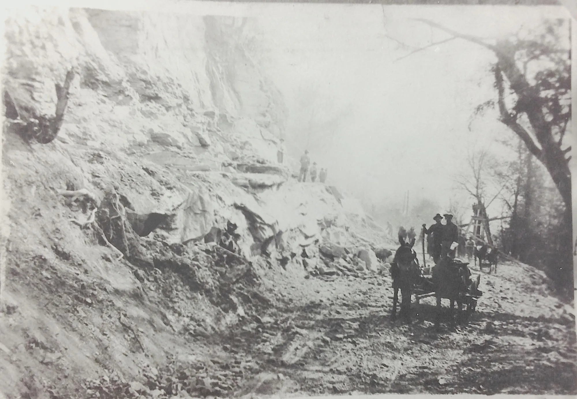
The Big Sandy Railway Construction Right of Way
Mr. S. P. Nelson engineer in charge of construction of the Big Sandy extension of the C. and O. Railway, came in from the Breaks of Sandy last night. Mr. Wall says that the reported opposition of the so-called Seaboard Air Line did not amount to much and that the C & O has deeds to all the disputed territory and are now in possession. Grading is being done, and the road is ready for ties and rails over the part that was in dispute. All rights of way at the other important points in Pike County have been secured, C. and O. is guaranteeing the road to be completed in two and a half years from date, construction to be begun all along the line at once and rushed as fast as possible to a finish. Men are working in Johnson and Floyd counties closing up all right of ways and Mr. Nelson’s corps is at Whitehouse staking out ground for the contactors. Mr. Nelson has just completed surveying toward the line in Virginia and started the construction contractors on that end.
The first engineering crew to enter “The Breaks of Sandy River /Russell Fork”
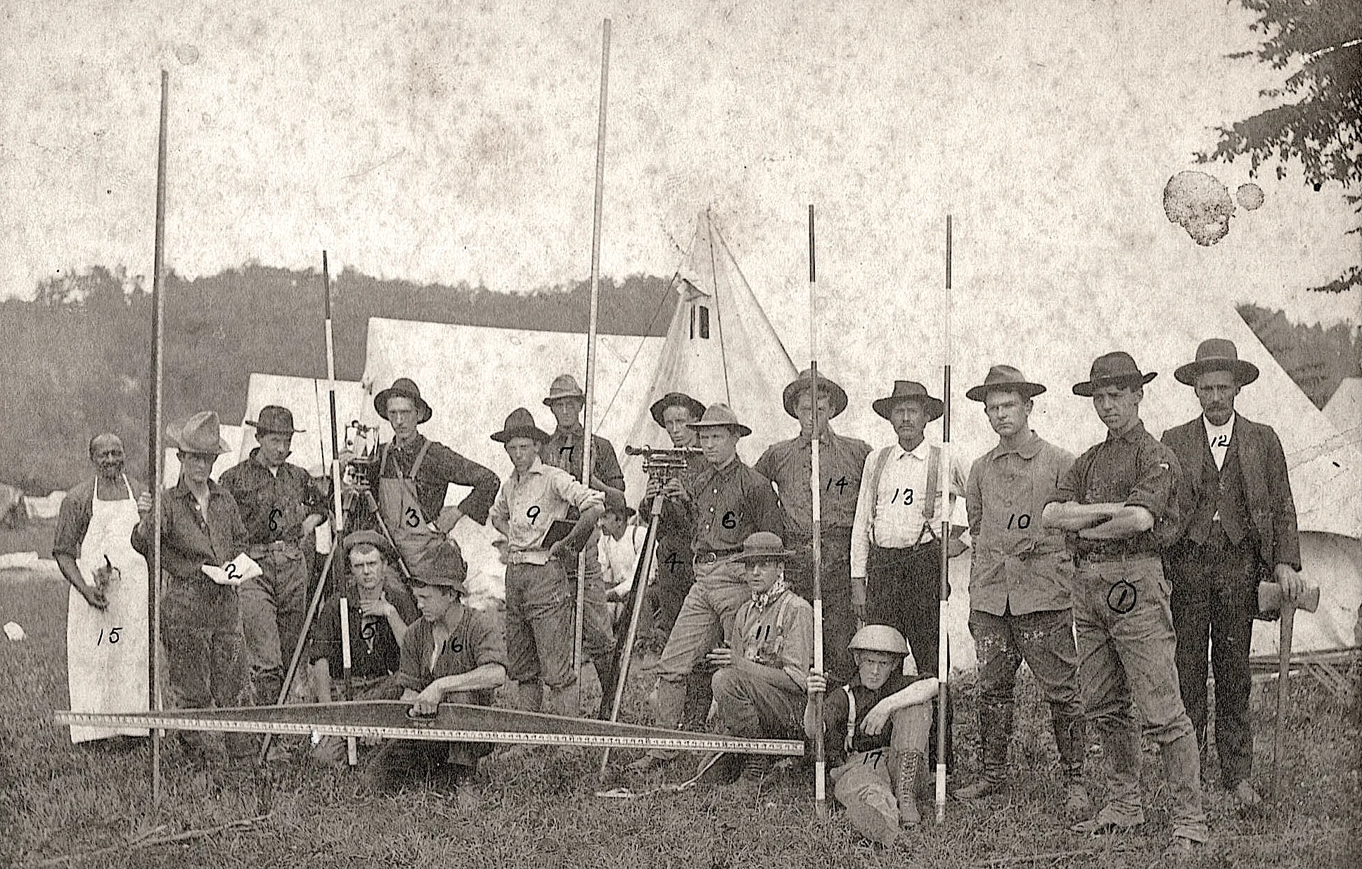
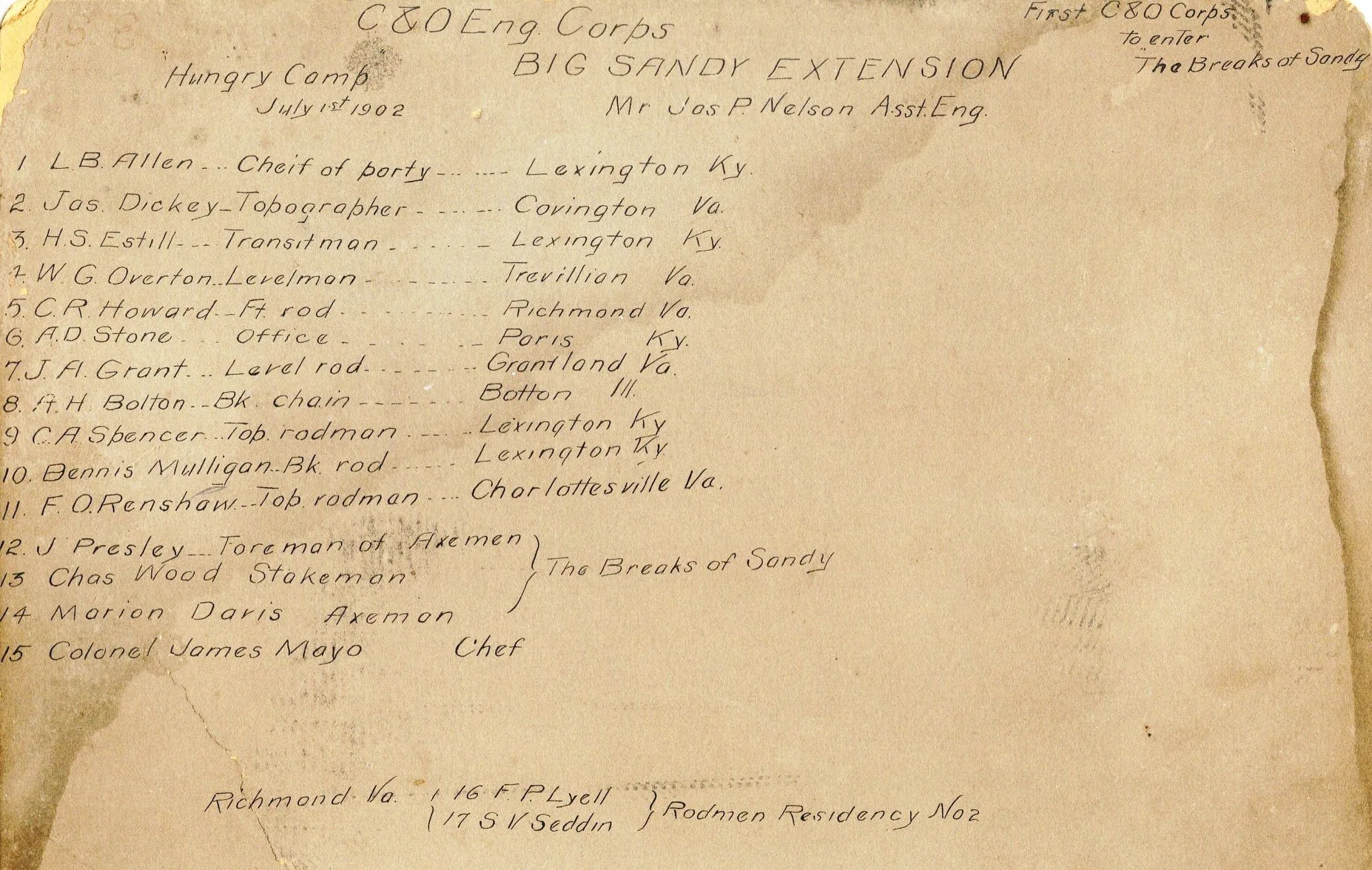
The above photos are the actual survey crews in July 1902. You are going to find most of these men doing the Right of Way Survey up and down the Big Sandy River, from the Whitehouse to Breaks (Praise, KY.)
July 8, 1903, a sub-let company Pitts, Hawkins and Troundle Railroad Co. was blasting and grading at East Point, Kentucky.
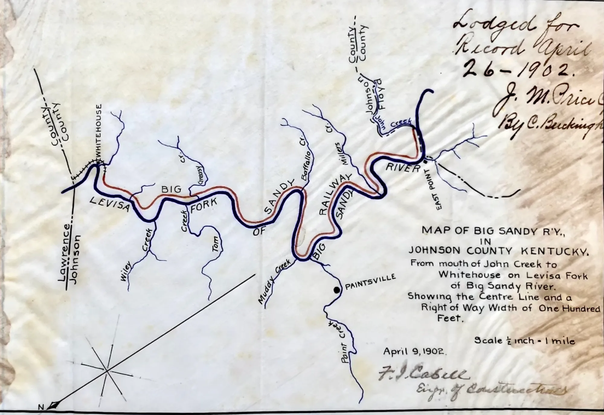
Right of way plat map. Filed in Johnson County
Another Engineer Corp of the C. and O. is locating the line between Whitehouse and Pikeville coming down the river to meet Mr. Nelson who is working up the Levisa. The contractors have about ten large camps already built at different points on the line, stocked with supplies and about one thousand men were at work and many on the way. Over one hundred thousand dollars’ worth of supplies have already been purchased and shipped in, trains will be running to Prestonsburg before next spring. The company was supposed to be opposing the C. & O. has never done any work in Kentucky and has apparently given up the field (The Evening Bulletin page 3). Big Sandy News reports on June 20, 1902, from locals they were here booming of the rock blasters from the Breaks to the mouth of Shelby Creek. Also reported Judge J.M. Robertson is doing work for Langhorne.
During the construction phase of the Big Sandy Railway, at multiple locations along the railway extension there were several miles of grade work on the right of way for the railroad that had already been completed. Simply being the railroad contractors were working independently at different locations.
As the construction of Big Sandy Railroad pushed its way up the Levisa River, coal companies started making their presents known by establishing their mine drift mouths very close to the main line.
WHITEHOUSE MINES.
Mine Office, Myrtle.
Head Office, Louisa.
Transportation, Big Sandy Division of C. & O. Railroad.
Operated by Whitehouse Cannel Coal Co. Dr. Hairy 1.
Wool, President; Col. Jay HI. Northup, General Superintendent and Treasurer; F. D. Wallace, Secretary.
When visited in May 1904, the mines had been idle two months, and they were again idle later in the year. The mines worked only 159 days (of ten hours) during the year. As shown by inspections made in 1903, the tendency was to slight the ventilation. Neither was their sufficient regard paid to drainage and timbering.
[Kentucky Department of Mines and Minerals 1903-1904, p 15
1905 inspection operated by the Whitehouse Coal Co., Dr. Harry A. Wood, President; Col. Jay H. Northup, General Superintendent and Treasurer; George Bickford, Superintendent at mines.
• Inspected March 24th. —The mine was idle. The furnace was not fired, consequently I could not determine the quantity of air entering the mine. The curtains and stoppings were in poor condition.
Inspected April 17th. —The current of air entering the mine was too weak to turn the anemometer. The furnace power was totally inadequate to properly ventilate the mine. Shortly after the foregoing date of inspection the mine was closed down and has not resumed operations.
Summer only one inspection could be made, which was on June 9th. Both mines, the Kentucky Big Vein and the Four-Foot, were in good condition.]
GREASY CREEK MINE.
Mine Office, Eliza, Kentucky. Head Office, 60 Waldo Place, Chicago, III.
Transportation, Big Sandy Division of C. & O., Railroad.
Operated by Sandy River Coal Co. F. A. Stacy, President. J. P. Dieter, Secretary and Treasurer; Watson, Superintendent.
When visited in May it had been idle since April 1st, and it was again idle later in the rear. As shown by inspections in 1903, the tendency was to keep the mine in fairly good condition. Comparatively little was done at this mine during 1904.
Meek Mine
The Meek Mines was Operated by the The Meek Coal. James N. Meek was the President and General Manager. The mines was equipped with one Norwalk Compressor; one 100 horsepower Tubular Boiler; six Harrison Class L. Mining Machines, these machines were nicknamed coal punchers .
Meeks mines was inspected June 22, 1905. There were two (2) open breakthroughs between the First Right entry and air course, consequently the ventilating current did not travel within 60 feet or less of all the working places as required by law. The furnace needed repairing, the stack was too open and new grate bars were needed.
Inspected December 14th. The ventilation was very defective indeed. The furnace power was inadequate, and the doors and stoppings were in poor shape.
Wheeler Mine
Wheeler Mine was located just off C & O Main-line about half a mile down river from Muddy Creek. Operated by the Acrogen Coal Co., John C. C. Mayo, President; Charles Keyser, General Manager.
The mine (a drift) was ventilated by a furnace until November, when a 16-foot Crawford & McCrimmon fan was in-stalled. The equipment consists of a Goodman dynamo, 125 K. W.; four Goodman electric mining machines, and one 5-ton Goodman motor. This is a new mine.
Inspected March 22d. Although the mine was in operation, there was no fire at the air shaft, natural means being depended upon for ventilation. Written notice was served, calling the attention of the company to the fact that this was in violation of the mining law, and directing that artificial ventilation be provided.Inspected July 23d.
The face of the second right entry was 90 feet ahead of air, and there were two open breakthroughs between the main entry and its air course. In all other places conditions were satisfactory.
Inspected December 8th.-A door was needed between second and third entries, and a new door was needed on the mouth of second left entry. All conditions elsewhere were satisfactory. [Kentucky Dept. of Mines had conducted mine inspection in 1905].
Thealka Siding Sub-Division/The Big Sandy RR
North East Coal Co.
Operated by the North East Coal Co. A. D. W. Smith, President, Wilkes-Barre, Pa.; H. Laviers, Superintendent;
Paintsville, Ky. Railroad Spur Siding loaded on Main Line Big Sandy Div. of the C. & O. Railway. Mr. Laviers, the Mine Superintendent, has kindly furnished a description of the company’s operations at the different mines.This mines was also formerly known as the Wheeler Mine,
At No. 1 Mines, a new tipple was built at a elevation of 50 feet above the railroad tracks in which there are 105,000 feet of lumber, all of which was sawed on the ground. The tipple is constructed of 12 x 12 and 10 x 10 timbers, mortised and teneted.
The fine coal from the screens is received in bins holding from two to four railroad cars of each grade. The coal is lowered
to car, a distance of 30 feet, in a drop basket on the same plan as a river tipple. Have made four additional new openings for entries, two of which are approaches to the new tipple.
The output has been increased from one hundred to four hundred tons. The mines are worked on a double entry system. Ventilation has been produced by furnace, but expect to install a fan in the near future; also electrical machinery and mine with machinery during the coming year. the interview was conducted with Mr. Laviers in 1907.
No. 1 Mines was inspected June 27th. Ventilation, drainage and timbering were satisfactory.
No. 1 Mines was inspected again December 20th, 1907 Ventilation was defective, in that the current did not serve all of the working places. Breah throughs between the rooms were too narrow, in many i-stances, and gob was piled in front of some of them.
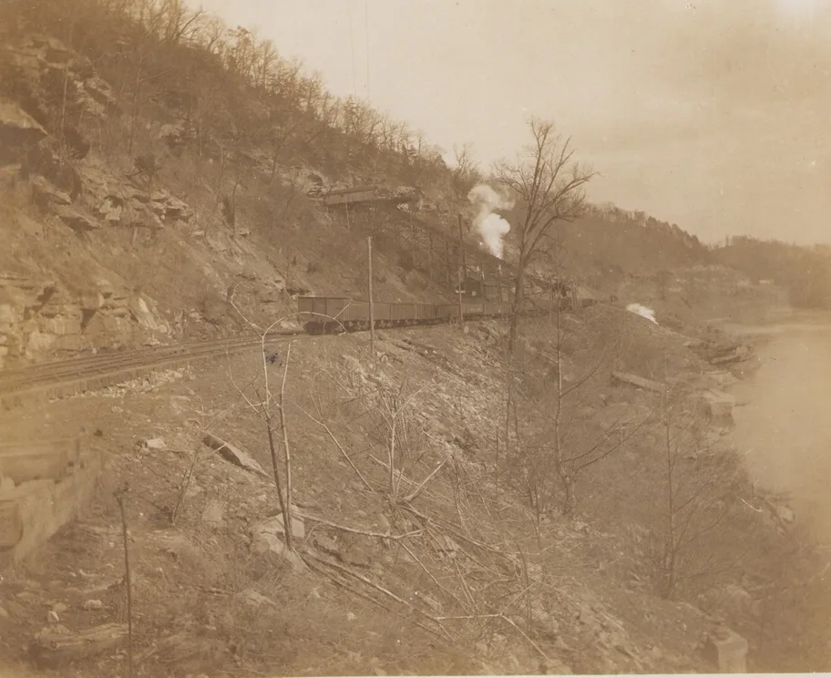
Mine No. 1 & Siding, The Big Sandy Railroad Line [Pike County Historical Society]
–
No. 2 Mine.-This mines was also formerly known as the Wheeler Mine, and was operated by the Acrogan Coal Co. until the first of the year when it became the property of the North East Coal Co. The company has built 15 new houses.
Coal was mined up to the middle of February, when the mine was shut down for improvement. Entries were shot down grades lightened and tipple remodeled at quite an expense to the present company. The result of this is that the mine is in a more satisfactory condition with respect to production as well as the convenience of the employees. The coal is mined by machinery, the equipment consisting of: One 125 K. W. Goodman dynamo; one 5-ton Goodman Motor; and four Goodman Electric Mining Machines. Ventilation is by a 16-foot Crawford & McCrimmon Fan.
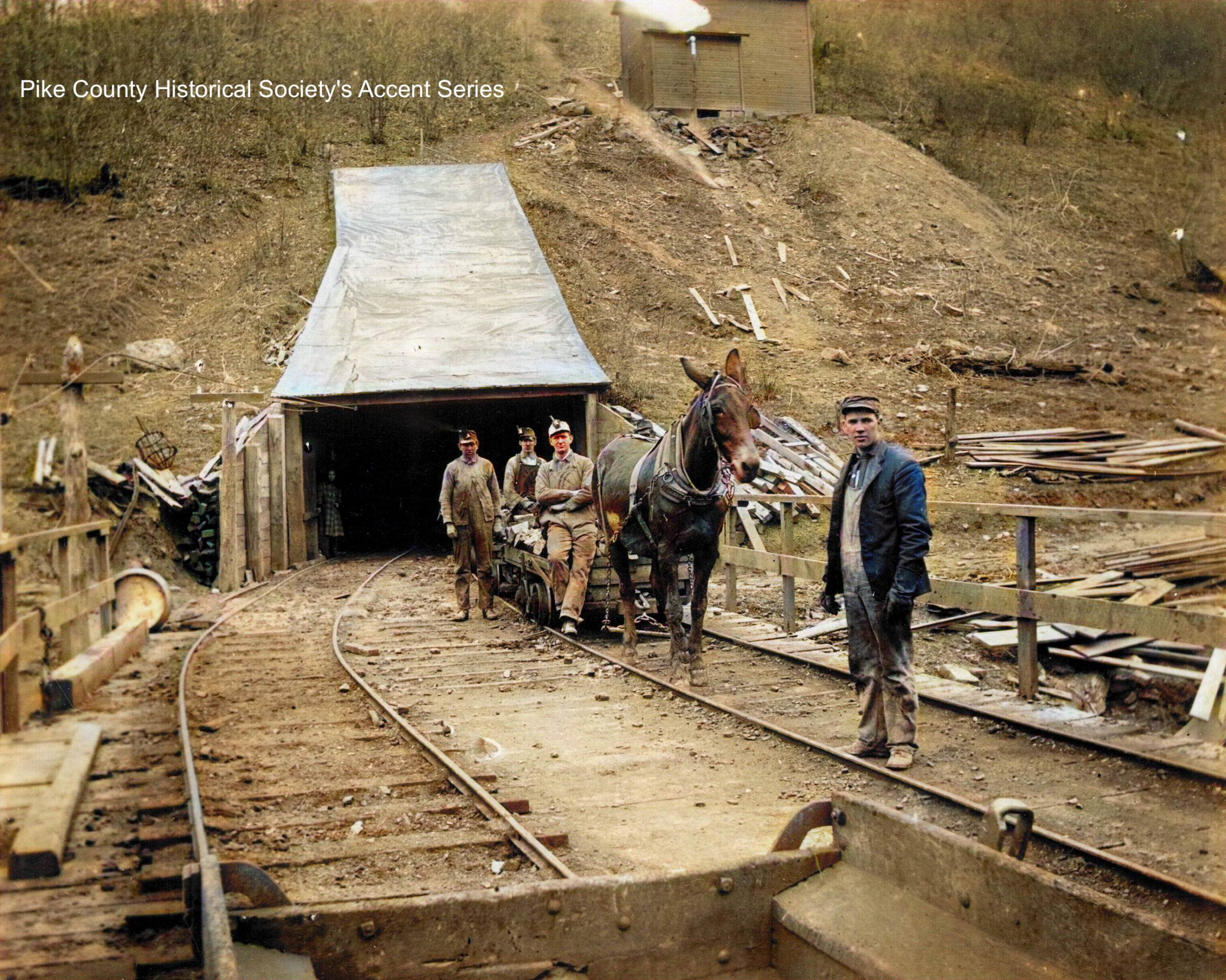
Left photo, mine was maintained in an excellent condition in all respects throughout the year. Two inspections were made.
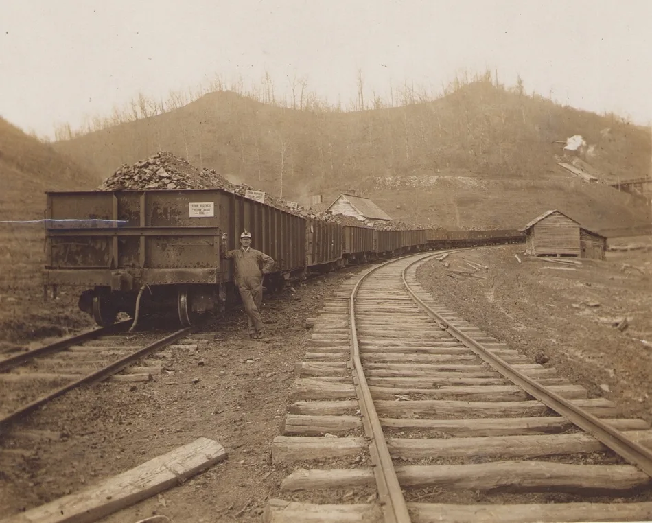
Photo above looking toward Mine No.2, in the distance right side, Muddy Branch. Pike County Historical Society
____
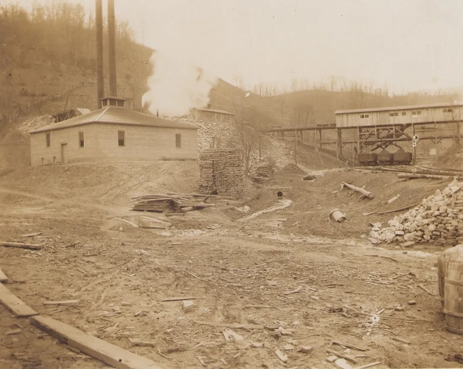
North East Mine No. 3 Development started in 1907 on Muddy Branch. this is entirely new operation. Work on struction of a railroad to it was begun in May, and is completed at this time. The opening of the mine was began on September 2nd. Since that time a double approach morticed and tented 12 x 12 and 10 x 10 tipple has been completed which required 40,000 feet of lumber all of which was sawed on the company’s property, and reaches an elevation of 30 feet above the railroad tracks. The tipple is designed to make 5 grades of coal. The chutes and screens are all of iron.
Mine No. 3, at Boyd Branch [Pike County Historical Society]
Have three mine openings, two of which are used as an approach to the tipple. At this mine there has been nothing but development or entry work done, and the entry work will be kept going all summer with a view to a good output next fall.
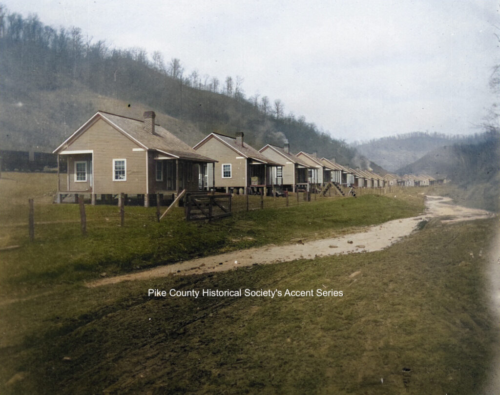
Twenty-five (25) new houses have been completed, twenty-three (23) of which are four room houses with porches.
The houses are framed, weather-boarded, ceiled and nicely painted. Foundations are made of paving brick. The other two are six-room houses, two story, and are framed, weatherboarded and plastered.
A new store 42 x 70 feet has been built. It is two story with basement and concrete floor under the entire building.
The company has constructed a school house 24 x 40 feet of rough boarded and weather-boarded with sheathing paper be-tween, and canvassed and papered inside. It is equipped with the most modern of American Company’s seats and desks.
The company employees the teacher, and the school is free to the children of the employees. The term of school will last eight months. Eleven (11) deep water wells have been drilled, cased with galvanized iron casing and equipped with deep well pumps, thus furnishing the employees with as good water as is found anywhere.
Paintsville
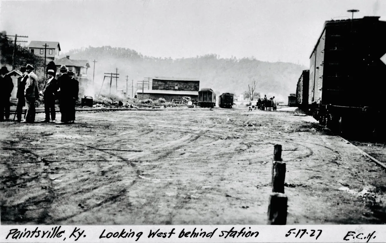
C & O Yard at Painstville
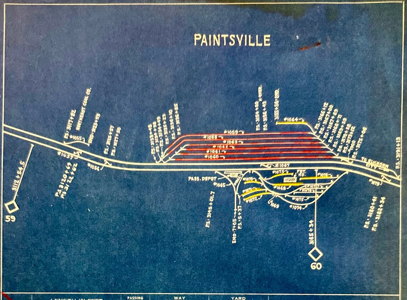
C&O
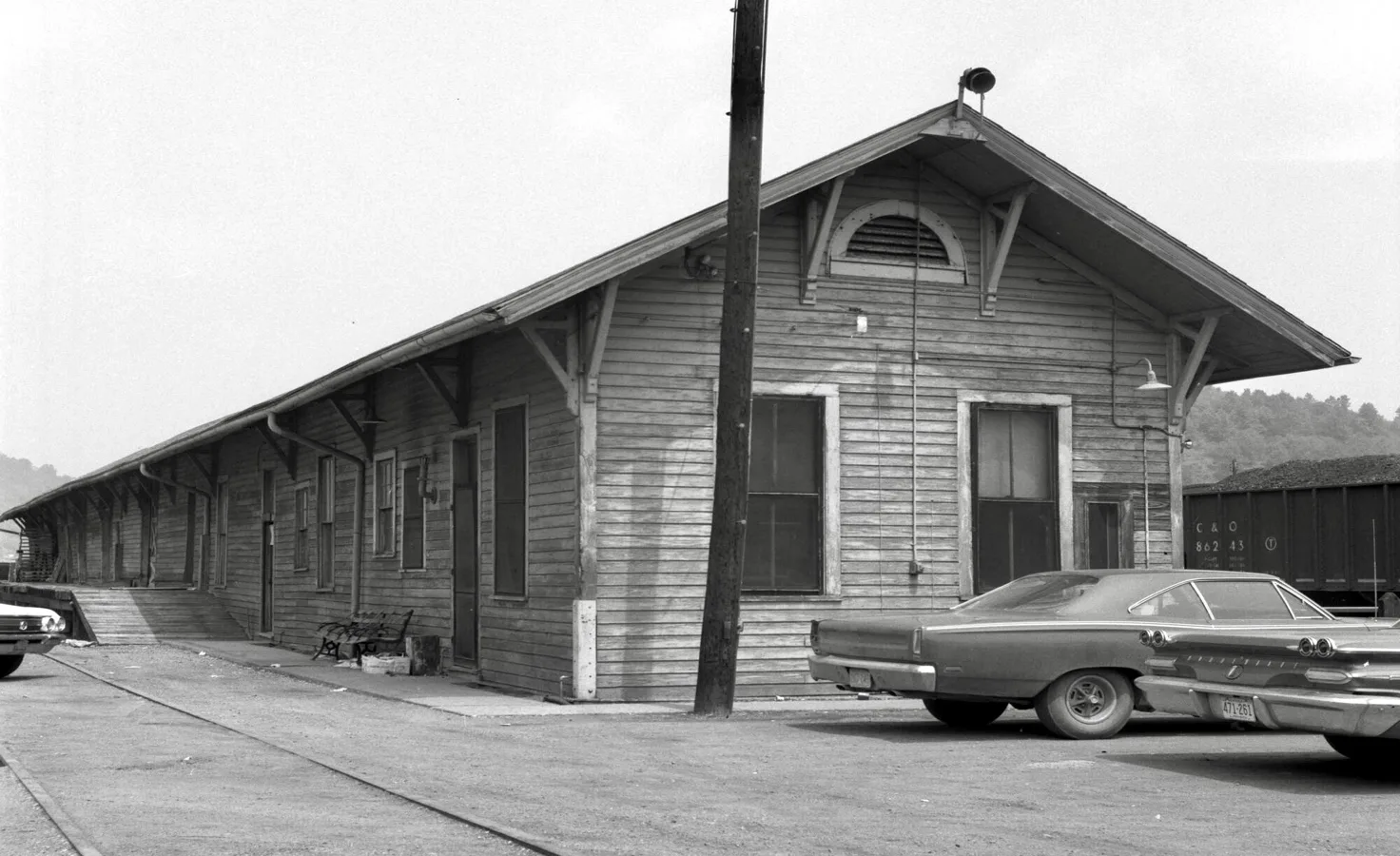
Painstville C&O Freight Depot and Yard office, Aug. 15, 1970. [cohs-40740]
Paintsville Depot Station, facing east 1970
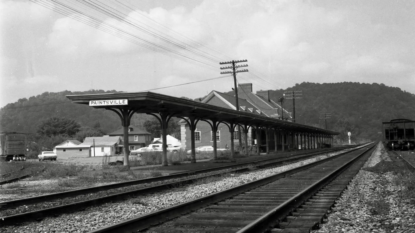
C&O Painstville looking North [cohs-40737]
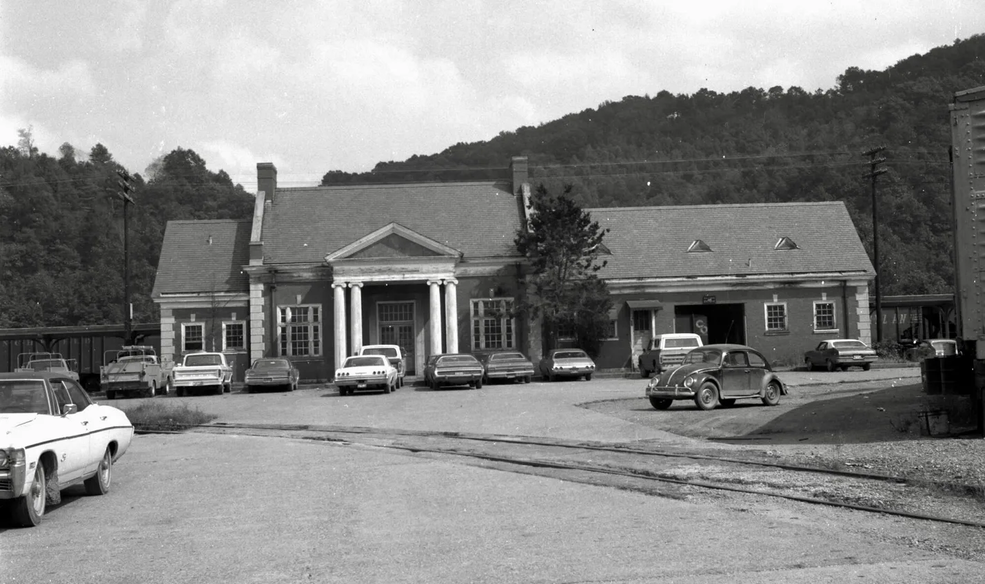
C&O Painstville Depot September 19, 1975 [ cohs-40735]
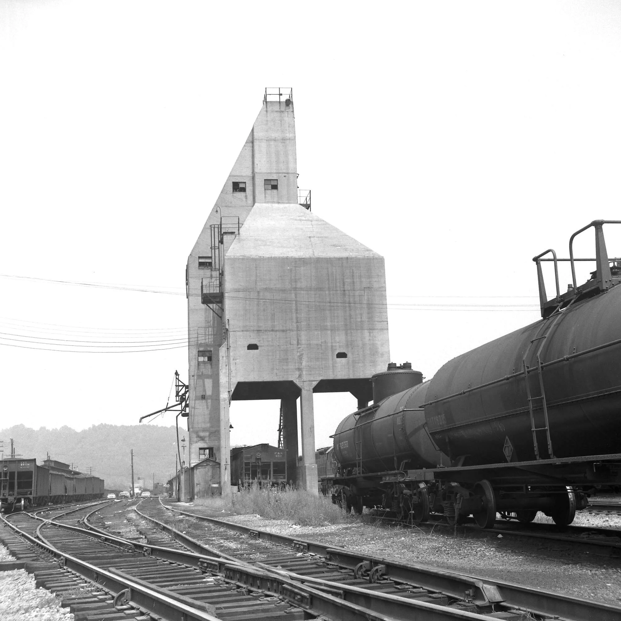
Concrete coaling station tower at C&O engine terminal at Paintsville, Ky August 15, 1970.
[cohs-31195]
Dawkins Sub-Division
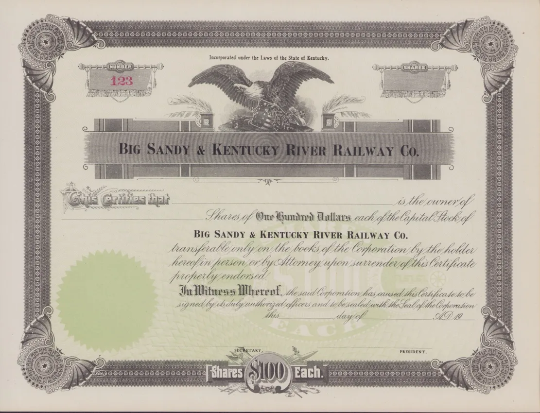
The Dawkins Line Railroad originally started as Big Sandy and Kentucky River Railroad, known as the BS& K Railroad. Construction began in 1912. The BS&K Railroad’s spur would come off Big Sandy Railroad, just North of West Van Lear. The newly constructed Sub-Division would eventually make its path up Jenny’s Creek, name after Jenny Wiley. Hager Hill was its first commercial stop, dropping of merchant goods or maybe pick up or letting of passengers at Johnson Depot Station 1. Hager Hill community had several sidetracks, none of the sidetracks exceeded no more 332 to 852 feet covering both sides of the BS&K.
Hager Hill
*Paints
Collista
*Denver
Denver Coal Company
Paris Pelphrey, President and General Manager.
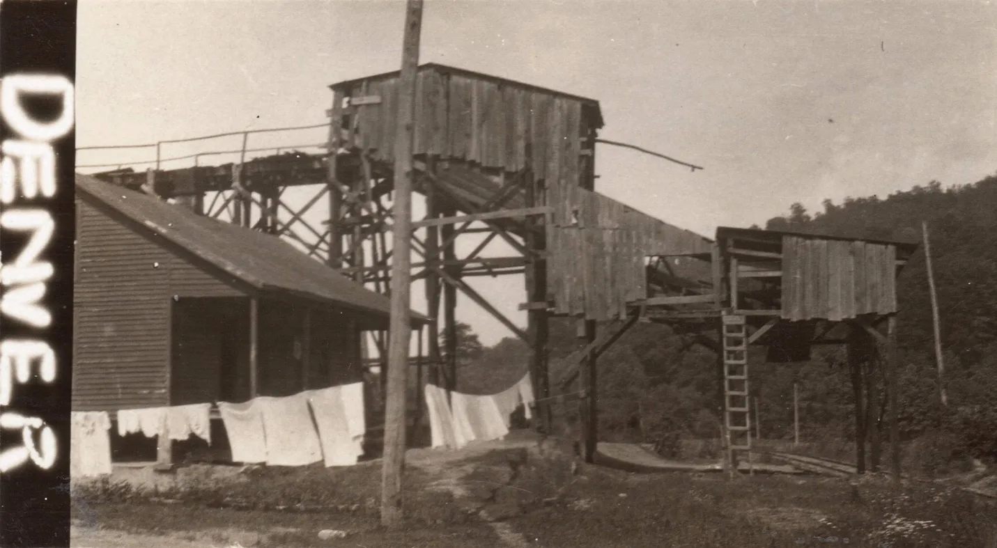
This mine is located at Denver, Johnson County, Ky., on the B. S. & K. R. Railroad, and is working No. 1 or Kentucky block seam, which is 34 inches thick, free from parting. Coal is shot off the solid and hauled by mules and ponies. The mine is ventilated by fan, has sandstone roof and has very safe mining conditions in every way
[Kentucky Department of Mines and Minerals 1922, p 274]
Asa
Fitch
Leander
*Dobson
*Riceville
The first segment of the BS&KR, between West Van Lear and Riceville, was completed in 1913.
MINERS ELKHORN COAL COMPANY, Riceville, Ky.
Main Office, Paintsville, Ky.
F. B. Preston, President and General Manager; Zephaniah Wells, Attorney and Secretary; J. B. Dills, Superintendent and Mine Foreman.
This is new mine located at Riceville, Johnson County, Ky., on B. S. & K. R. Railroad, and started shipping coal in March of this year, and is about ten miles from Paintsville, Ky. The mine is working No. 1 Elkhorn seam, which is 52 inches thick, almost free from parting of any kind, and has very good slate roof. At the present time coal is shot off the solid and hauled by mules, but they have machinery now on the ground and are installing electric power plant and all modern mining machinery will be used for mining and hauling coal. This company expects after getting fully developed to mine on a very large scale as they have under lease almost 400 acres of this coal, which is considered to be the best proposition in that section, and the president, Mr. Preston, is not by any means a new man in the coal industry as he has the honor of having shipped the first car of coal from Floyd County over C. & O. Railroad, and has been connected with different operations for a number years, and it is considered an assured fact that he will leave nothing undone with this new operation and it will be a model mine when fully developed.
[Kentucky Department of Mines and Minerals 1922, p 282]
Narrows Fork
*Ivyton Station
Ivyton a community located at head of Burning Fork was just across a low gap in the head of Middle Fork Creek. A post office was established in 1883.
Ivyton Tunnel total length is 662 feet long, peak elevation 1036 feet above sea level. Center of Ivyton Tunnel at the mile post is exactly 15 miles from the Big Sandy Railroad Sub-Division. Royalton Station was at mile post 18.3, meandering down from Gun Creek from the Tunnel at Ivyton. Elevation at Royalton was 885 feet above sea level. One Hundred- and Fifty-One-feet differential between Ivyton Tunnel and Royalton Station. Many years ago, member with the Pike County Historical Society had conversation with Jack Robert “Bobby” Rowe, a Train Engineer with C&O Railroad, stationed out of the Shelby Yard. Bobby had spoken about pulling C&O coal railcars from Evanston Tipple in the 1950’s, exact years unknown. Bobby had talked about what a hard pull the steam engines would have pulled the long steep grade from Royalton to the Tunnel near Ivy Creek Station. Figuring the degree angle of elevation @ 1.56 degrees, the gradient would translate in 2.7 percent. Even though the Big Steam Engines had the horsepower and torque, he said it always cross his mind, what if my big iron horse stalled out in that tunnel.
Carver
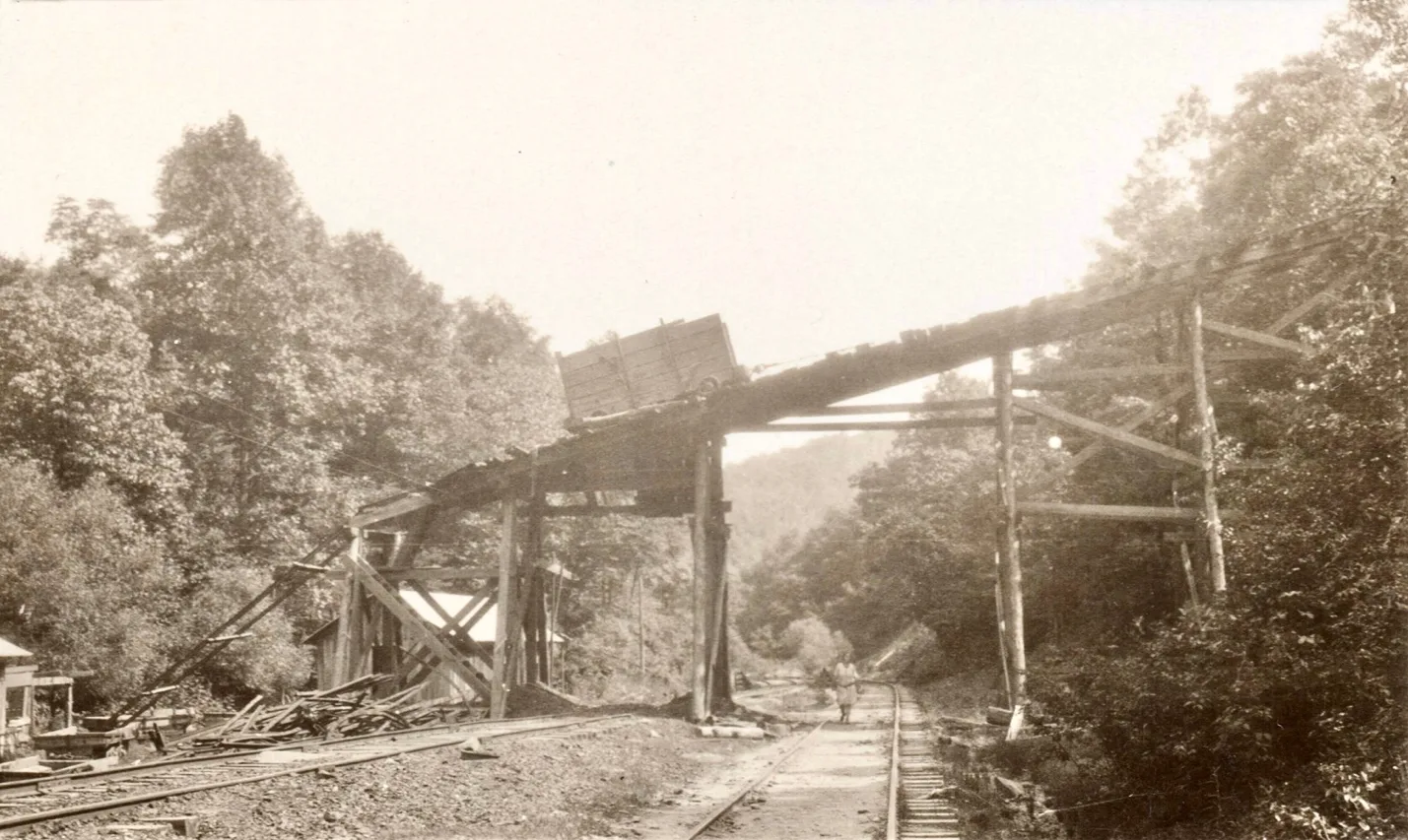
Beatrice Tipple, 24.0-mile post, [cohs-46318]
Half Mountain Coal Company
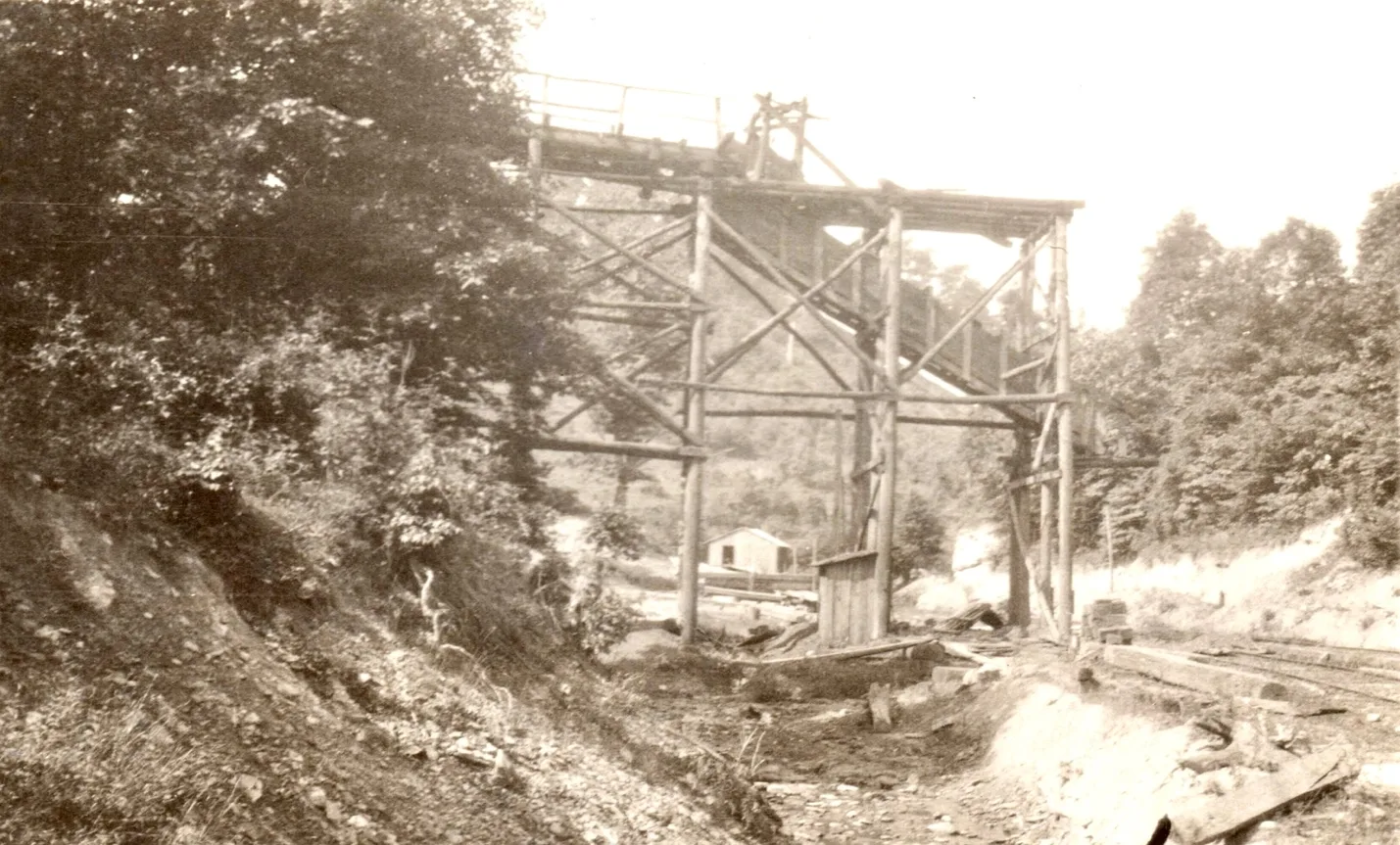
Half Mountain Mines, mile post 24.3 [cohs-46319] June, 1929
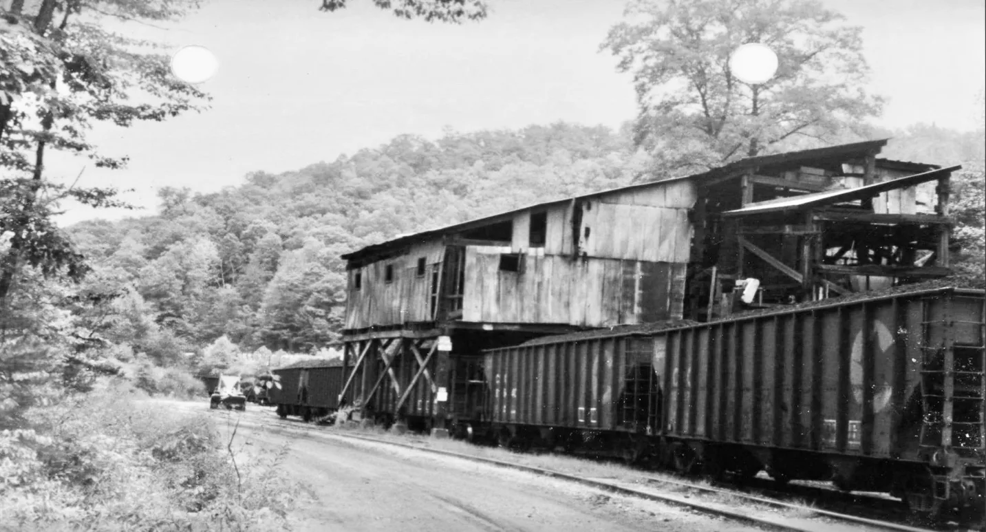
Tip Top Tipple
_
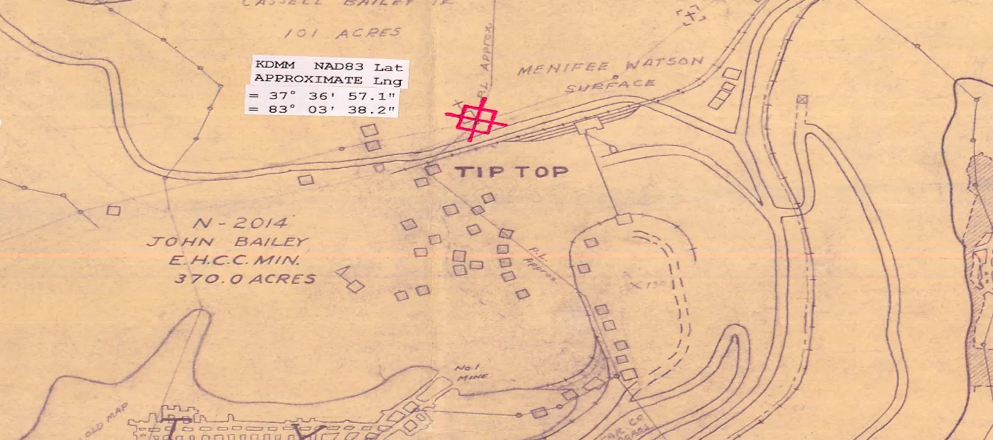
A 15-mile extension begin construction in Breathitt County in 1948.
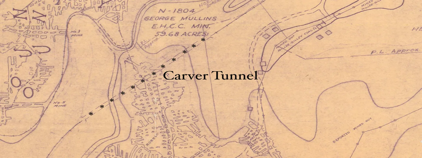
Carver Tunnel
[ Kentucky Mine Maps, SNF 00014]
An extension into Breathitt County via the Carver Tunnel, finished in 1951, greatly expanded the utilization of the Dawkins Subdivision. By 1953, seven active mines on the branch produced more than 2,000 cars a month. 8 9 This gradually decreased over the decades and in May 1990, there were only three active loading points on the line that produced 80 fifty-ton cars daily. 8 Of that, 93% were loaded at one tipple.
Evanston
The Evanston Mines in Breathitt County was opened up on April 19, 1949, demands had developed a 1300-foot slope. The Evanston Mines in Breathitt County was opened up in April 19, 1949, demands had developed a 1300-foot slope and was ventilated by a 351-foot air shaft and the number three Elkhorn coal bed. Which averaged 34 inches in thickness in most areas being worked. The coal is high-volatile bituminous, Coal bed lies in a horizontal formation at elevation above sea level average 704 feet.1 The Pond Creek Pocahontas Company in December 1952 employed 490 men, working three shifts, including underground and tipple. The average daily production was 2500 hundred ton of coal per shift. The mine slope was ventilated by a 351-foot air shaft in the number three Elkhorn coal bed. Which averaged 34 inches in thickness in most areas being worked. The coal is high-volatile bituminous, lies in a horizontal formation. The Pond Creek Pocahontas Company in December 1952 employed 490 men, working three shifts, including underground and tipple. The average daily production was 2500 hundred ton of coal per shift.
[1 Kentucky Mine Maps, SNF 00014]
Another large coal seam that was being mined and was being shipping coal near the Evanston loadout facility was Skyline seam. The Skyline coal bed is now being surfaced mine by the United Electric Coal Company from nearby mountains. 3,4 The Skyline Coal mined is 620 feet +/- above the No. 3 Elkhorn Coal Bed. The company utilized a large Bucyrus-Erie shovel United Electric Coal Company, a subsidiary of Island Creek Coal Company, which strip-mined, the “Star Knocker,” to strip overburden from nearby hills for coal around Evanston area.
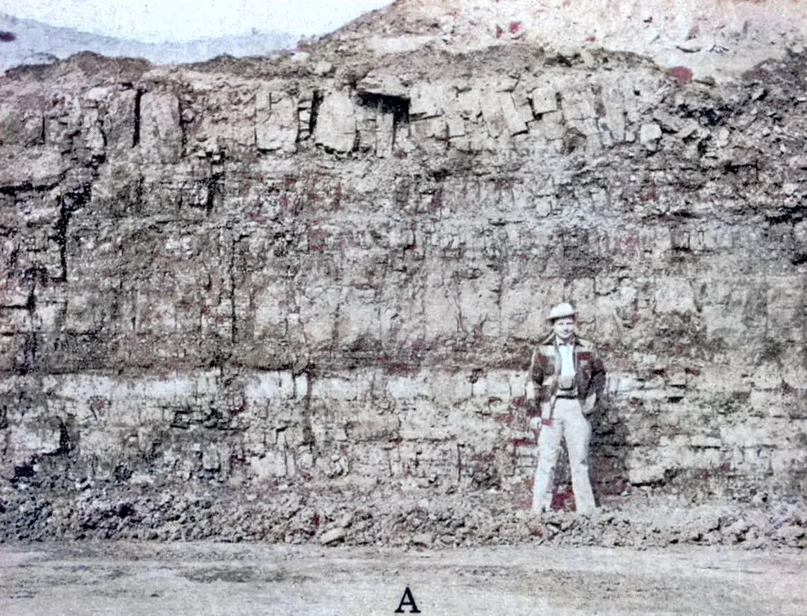
The Skyline is mine on the ridge between Spring Fork and Hawes Fork it has a thickness of 13 to 15, including partings, and thins to the southeast beyond Prater Branch to about 5 feet. To the north and west the Skyline coal splits into two beds here called the lower and upper Skyline beds, separated by 10 to 80 feet of shale parting. In the southwestern corner of the area Skyline form a single- bed; this is suggested by the great thickness, about 15 feet of a coal bed measured at a small, abandoned mine at the head of Jim Ritchie-Branch of Quicksand Creek.
[1. USGS Topo Print 1957]
___
Skyline coal bed seam is composed mainly of bright coal that generally contains from 1 to 3 bone partings near the middle of the bed Near Tiptop a few inches of bone coal also is generally present at the top of the bed, Shale partings are less common. Core holes reveal that the thickness of the lower Skyline bed, excluding partings, to range from 99 inches near Road Fork, of Big, Half Mountain Creek to 20 inches, near: the head of Poplar Branch of Hawes Fork. Its thickness exceeds 42 inches in most of the ridges east of Coles Fork of Hawes Fork and north of Hawes Fork to the northern border, and in the knobs, along the ridge east of Big Lovely Branch of Spring Fork. The upper Skyline bed is composed of moderately bright to moderately dull coal and generally contains partings of bone coal and shale. Core hole records indicate that this bed has its greatest thickness in the high knobs near the mouth of Big Lovely Branch and is generally less than 28 inches in the ridge north of Hawes Fork. Near Tiptop the bed has an average thickness of about 4 feet and can be seen in the highwalls of the strip pits. Geology and Coal Resources of the Tiptop Quadrangle Kentucky Bulletin was published in 1958. 5
The lower Skyline bed is being stripped near Tiptop by the Buchanan Coal Company. Estimated original reserves of the Skyline coal bed and the lower Skyline coal total 34,482,000 tons.5
The Tipple at United Electric Coal Company built was also used periodically by Evanston Coal & Land and Big Creek Development and was demolished by the early 1970s. 6
The Marty Corporation, a coal mining firm associated with AT Massey, constructed smaller steel truck dump loadouts using C&O hoppers on the site where the former Skyline tipple was located. These loadouts remained operational until around 1982.
[1. United States Department of the Interior Bureau of Mines]
[2. Geology and Coal Resources of Tip Top Quadrangle, KGS]
[3Young, Everett N. “Days on the Dawkins.” Chesapeake and Ohio Historical Magazine Apr. 1991: 10-14.]
[4Lynch, Jake. “Rural Kentucky Primed for the Opening of the Dawkins Line Rail Trail.” Rails to Trails Conservancy, 30 May 2013. Web. 12 June 2013.]
[5Geology and Coal Resources of the Tip Top Quadrangle, Kentucky]
[6Vaughn, Robby. Appalachian Rails & Mining, 4 Jun. 2023]
Vail Mile / Mile Post end of line 38.8
End of the Line
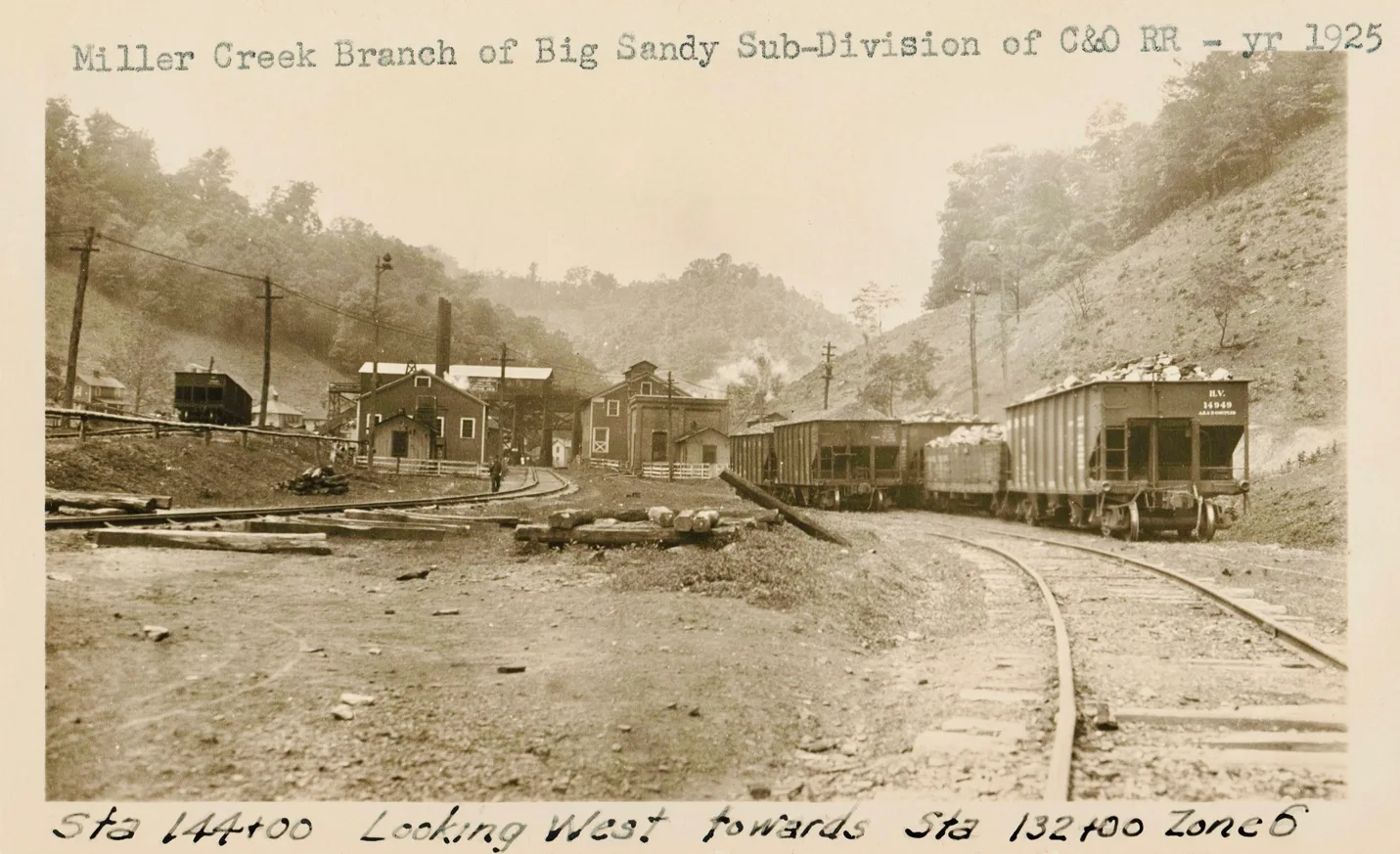
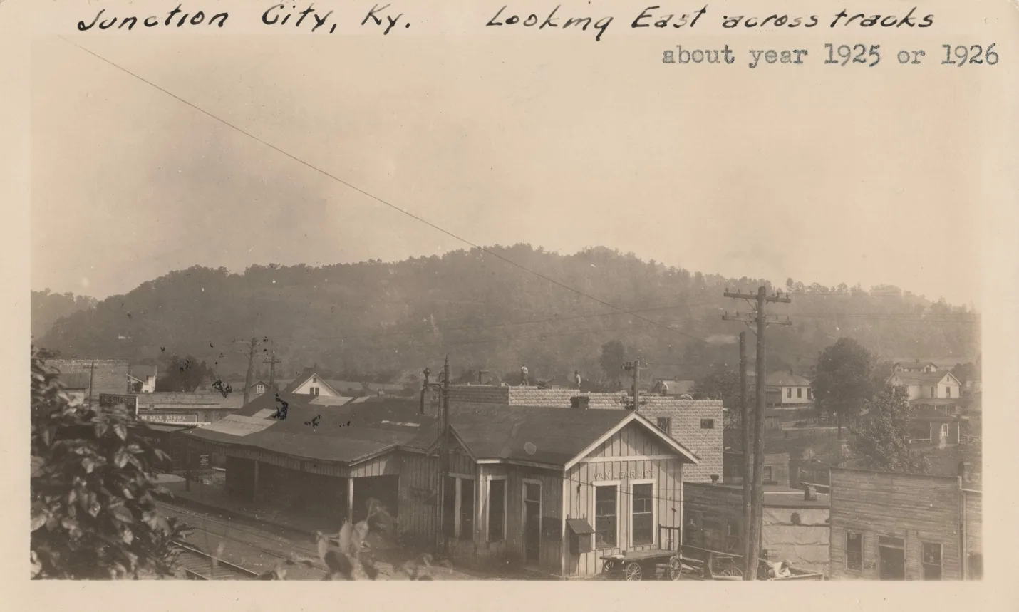
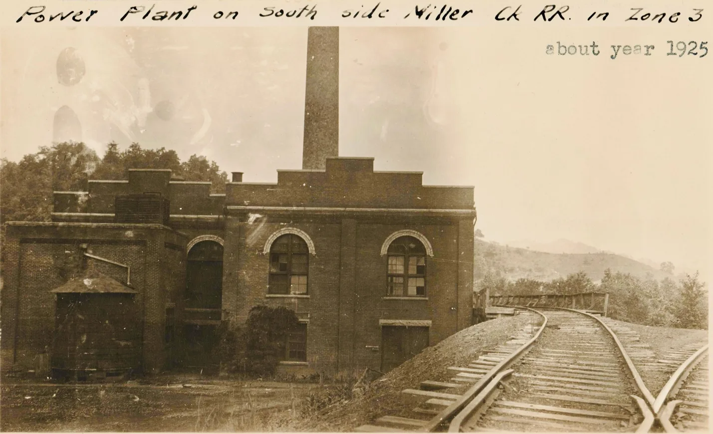
Millers Creek Sub-Division
Van Lear Junction
West VanLear
VanLear 151
VanLear 152
VanLear 153
VanLear 154
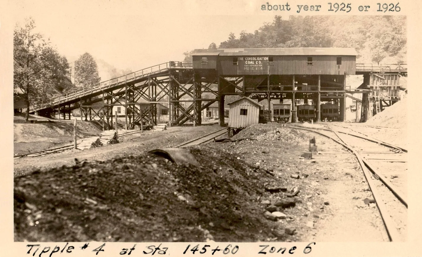
[cohs-43269]
VanLear 155
End of Line
Auxier
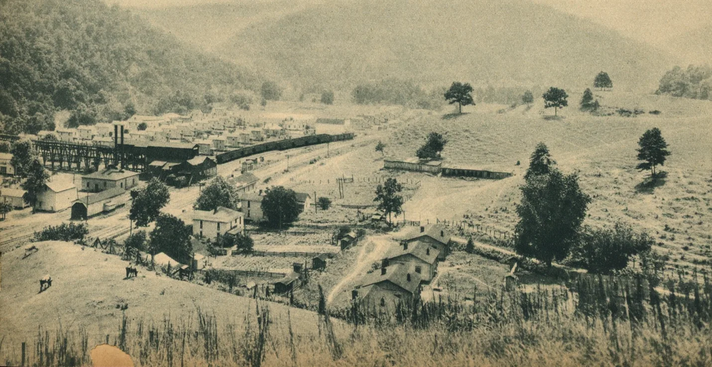
–
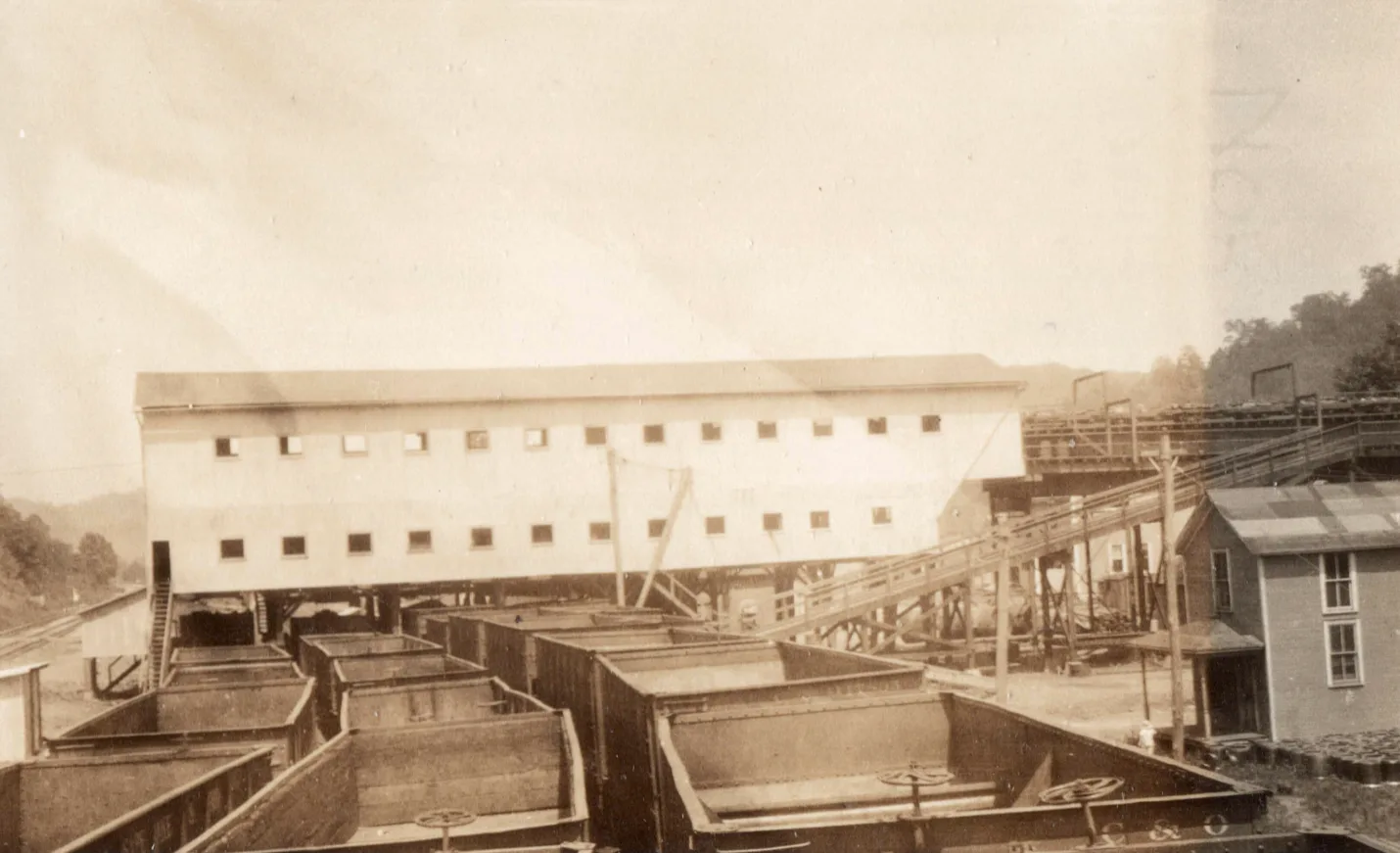
East Point
Flambeau Mine
Mine Office located at East Point, with mine headquarters located in Paintsville. Tipple and rail rail-siding located on C & O mainline.Operated by the East Kentucky Coal Company,. A.W.D. Smith, President, from Wilkes-Barre Pa.; H. Laviers, Superintendent, Paintsville, Kentucky. This is a new mines started in 1905.
Cliff Sub-Division
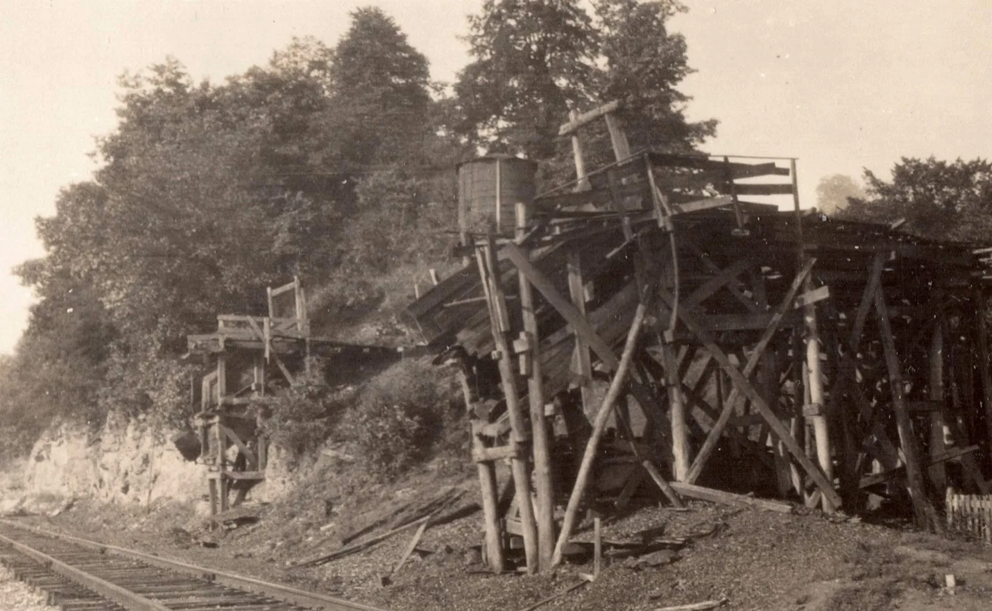
Purity Block Cannel Coal Co. Mile Post 72.2 [cohs 46294] 1929
Cliff Coal Company
P.O., Cliff, Ky.
Express office, Prestonsburg, Ky.
D. E. Woodruff, Superintendent and Foreman.
This is a slope mine, working 43 men and 7 mules. Coal is 3 feet high and is cut by 3 Jeffrey electric shortwall machines. Ventilation is produced by a 6-foot Stine fan, making 80,000 cubic feet at intake and 40,000 at the return. Inspected twice in 1914, January 28th and August 18th; all conditions were satisfactory.
[Annual report of the Department of Mines, State of Kentucky 1914]
The Cliff Coal Company
P. O., Cliff, Ky.
Main Office, Portsmouth, Ohio.
B. V. Vincent, President and General Manager; H. C. Stalder, Secretary and Treasurer: G. B. Hughes, Supt.: John Branham, Mine Foreman.
This Mine is located at Cliff, Floyd County, KY., and is on the Big Sandy division C. & O. railroad, about two miles west of Prestonsburg, Ky. This mine is being worked as a slope mine, as the coal is below tipple height. They are working No. 1 seam, which is about 36 inched in thickness and is equipped with electric machines for mining coal, and electric motors for hauling; mine is ventilated by 6-foot fan. This is a very old mine and is about exhausted and was closed down the greater part of the year, owing to low market conditions.
[Annual report of the Department of Mines, State of Kentucky 1923]
Middle Creek Sub-Division of the Big Sandy Railway
PLAN TO OPEN OF NEW COAL FIELD IN FLOYD COUNTY
31 MILLION TON TRACT
C. & O. Authorized to Build Middle Creek Branch. Hint Island Creek Coal Company to Operate in Area.
Press dispatches from Washington early this week revealed that the Interstate Commerce Commission has authorized the C. & O. Railway Company to construct a branch line into the Middle Creek area of Floyd County, a virgin coal field.
The line, expected to cost $780,000 will stretch from Prestonsburg ten miles to the left fork of Middle Creek. The ICC authorization is effectively immediately.
The new field apparently to be tapped includes an area about twenty-three miles square. It is estimated to contain €1,200,000 tons of first grade bituminous coal.
It also comprises about 6,800 acres of second-growth timber, with very little cultivated land.
William H. May, Prestonsburg, State Commissioner of Agriculture, Labor and Statistics, said he had learned on high authority that the new field would be operated by the Island Creek Coal Company, Huntington, W. Va., one of the nation’s largest.
May said he understood coal production of 300,000 tons was anticipated in 1941, with the output increasing to 600,000 in 1942 and to 1,000,000 tons annually thereafter. May had already cited that construction of the power lines had begun into this area.
Harry LaViers, Paintsville businessman with property holdings in the new coal field area, said Friday that already under option were between 6,000 and 7,000 acres of the coal land, from which 1.000.000 tons of fuel are expected to be shipped annually.
These reported plans for development of the new Floyd field followed months of coal-testing operations in the Middle Creek area.
Sample Reported Good.
It was reported in Prestonsburg that one sample of coal submitted from the section proved to be some of the finest yet discovered in Eastern Kentucky.
With I. C. C. approval of the rail line’s construction, the Chesapeake & Ohio is expected soon to ask for construction bids. The line is to be completed by April 1, with installation of mining equipment. tipples and buildings proceeding simultaneously, unconfirmed reports in Prestonsburg said. A cross-section survey of the proposed route already is under way.
[The Daily News, December 5, 1941, p. 1]
The Chesapeake and Ohio Railroad in February 1941 started building the 9.6-mile branch line from West Prestonsburg to Present day David, Kentucky. Completed construction in January 1942.
Middle Creek Mine.
Inspection Notice No. 19B.
P. O., Prestonsburg, Ky. Transportation, Big Sandy Division of the C. & O. Railroad, the coal being carried in the mine cars to the tipple.
Operated by the Middle Creek Coal Co. David Holly, President, Ironton, Ohio.; R. A. Patrick, Vice-president, Paintsville, Ky.; R. E. Stanley, Secretary, Prestonsburg, Ky.; Howard S Estill, Treasurer and General Manager, Prestonsburg, Ky.
This mine is equipped with one 150 H. P. boiler, one 160H.P. engine, one 140 M. G. generator and three Morgan-Gardener machines. Inspected October 27th. There were 20 men and 2 mules in this mine. Aired by a 12-foot Marrow fan. Timbering, drainage and ventilation satisfactory.
Middle Creek Mine. – (W.J. Workman, Mine Foreman.) P.O., Prestonsburg, Ky.
W.S. Wells, Superintendent.
[Kentucky Department of Mines and Minerals 1908, p 162]
This is a drift mine in the No. 1 seam of coal, which is a high-class split. Mining is done with electric machines; coal is gathered by five mules to a parting and is hauled to the tipple with a motor. Ventilation is produced nu an 8-foot fan, steam driven. The height of the coal will average 3.5 to 4 feet, with a good sandstone top and a fire clay bottom. On account of the dryness of the coal, and the leakage of fine dust through the cars, the haulage ways, especially in the dips, become very dry and dusty, and sprinkling is frequently resorted to in the winter months. The dust is hauled out as often as practicable. The general condition of the mine is good.
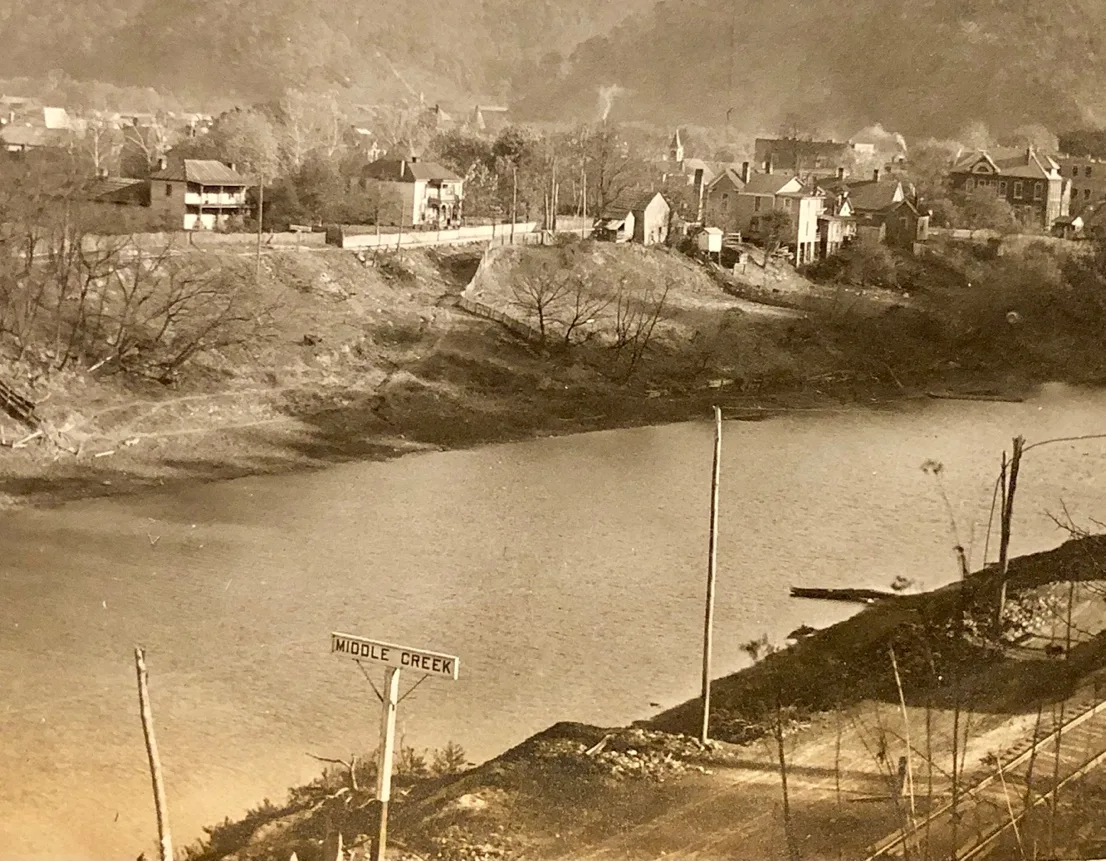
Middle Creek Spur 1912, Mile Post 73.4
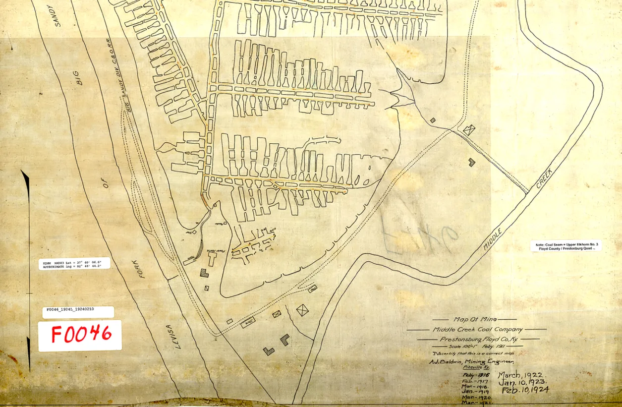
Middle Creek Coal Co. 1911[ Kentucky Mine Map F0046]
The Middle Creek Coal Company is one of the organizations that helps to employ a large number of people of Prestonsburg and Floyd County. This company’s mines are located opposite Prestonsburg and has been in operation seven years. The present management has been in possession of the operation for the past four years. Under the present management that mine has been producing more coal and has built up a good business.
This property is owned by local people. Hiram Harris is the President of the company; Walter S Wells is the General Manager, and Geo. B. Archer Secretary and Treasurer.
They mine the Kentucky Cardinal coal, both domestic and steam coal. The output of the mine is 100,000 tons annually and is operated by electricity. Coal from this mine is sold in Kentucky, Ohio, Indiana, and Michigan.
Miners here are well paid and given good treatment. Walter S. Wells, the manager, was formerly a resident of this city and is a brother of Attorney J. K. Wells and Cashier John E. Buckingham. Mr. Wells knows the coal business and under his management the Middle Creek Coal Company has been made paying proposition.
[The Paintsville Hearld, March 18, 1915, p 29]
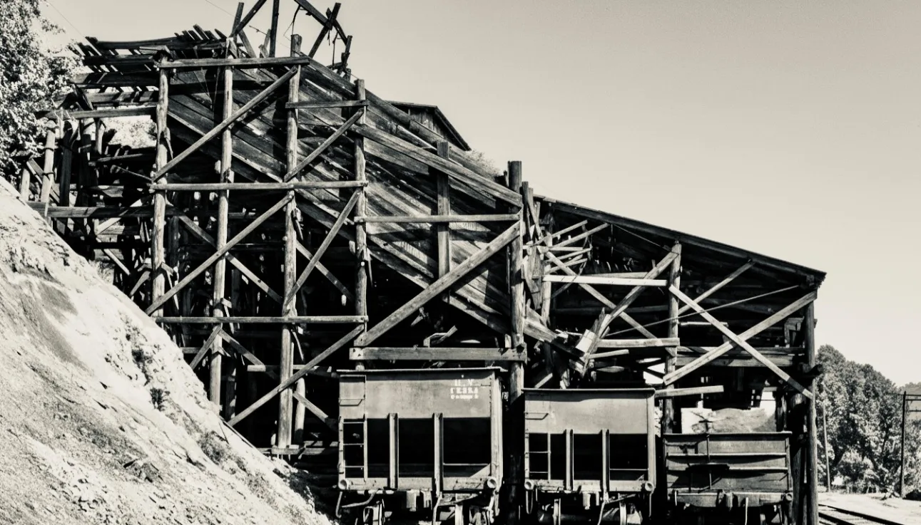
Middle Creek Coal Company, 1929. Milepost 73.9 [cohs-46295]
Princess Elkhorn Coal Company is located on Middle Creek in Floyd County, Kentucky. The town of David is home of Princess Elkhorn named after David L. Francis its president who originally built and owned the town.
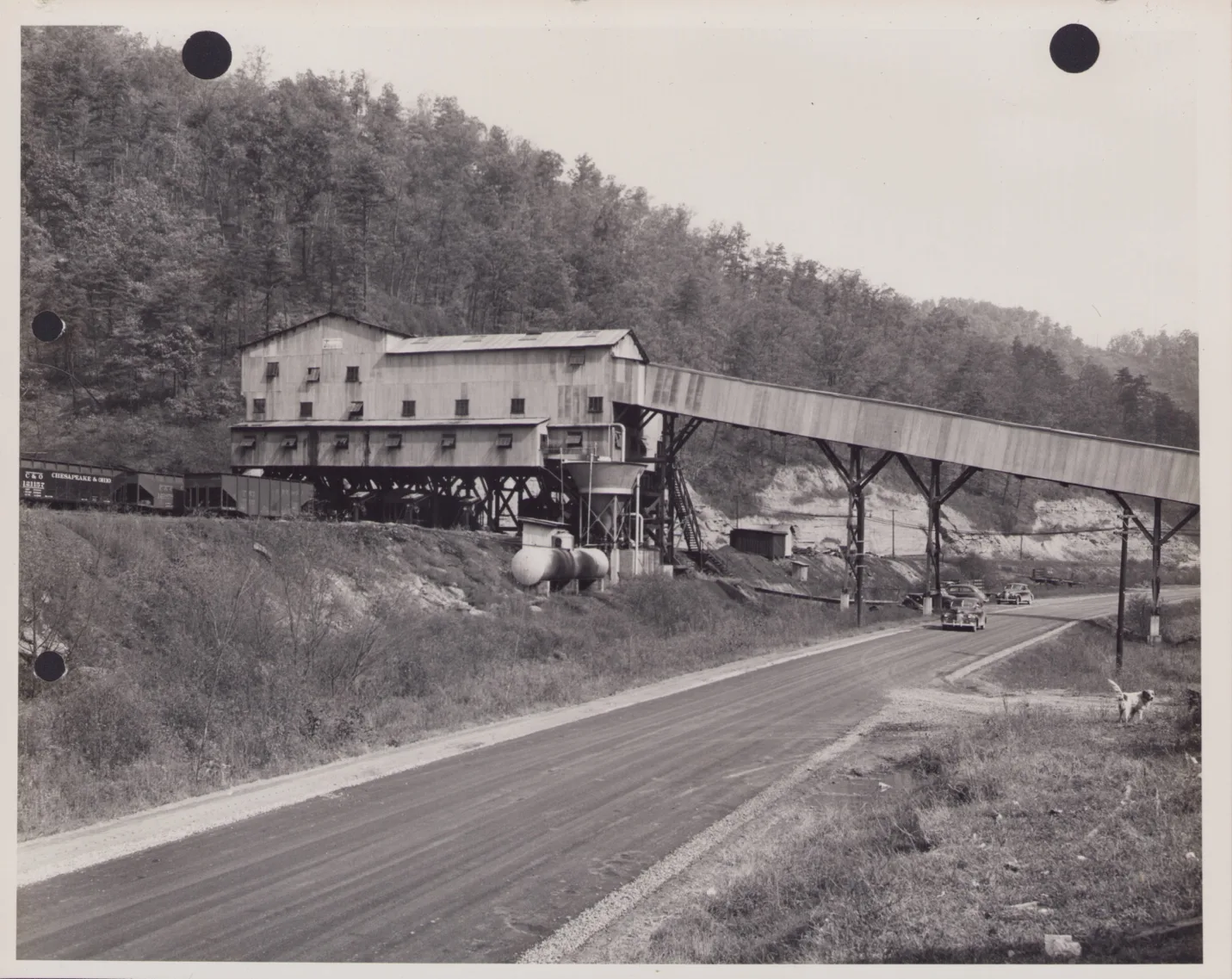
[Everett N Young Collection]
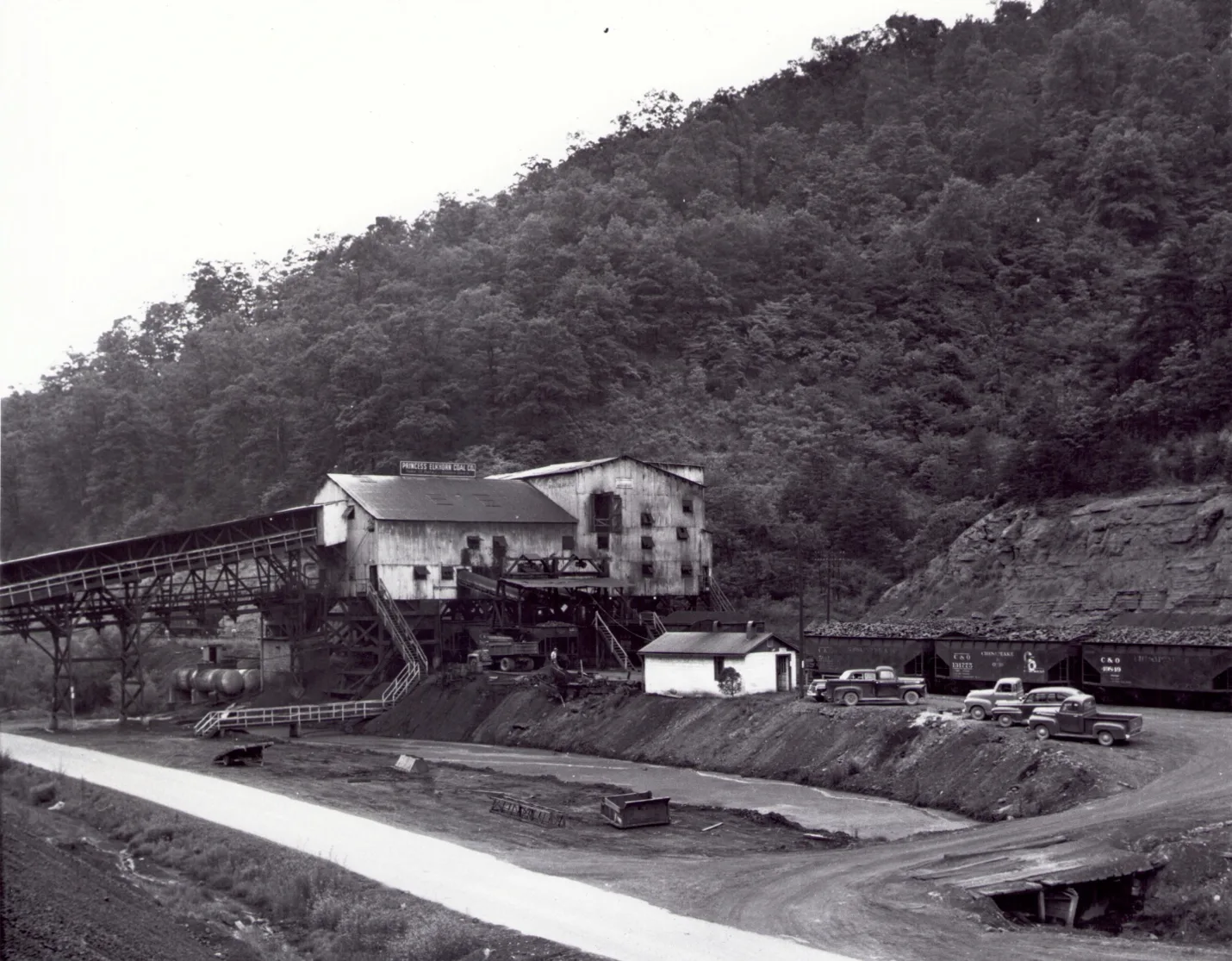
[Everett N Young Collection]
Princess Elkhorn Tipple
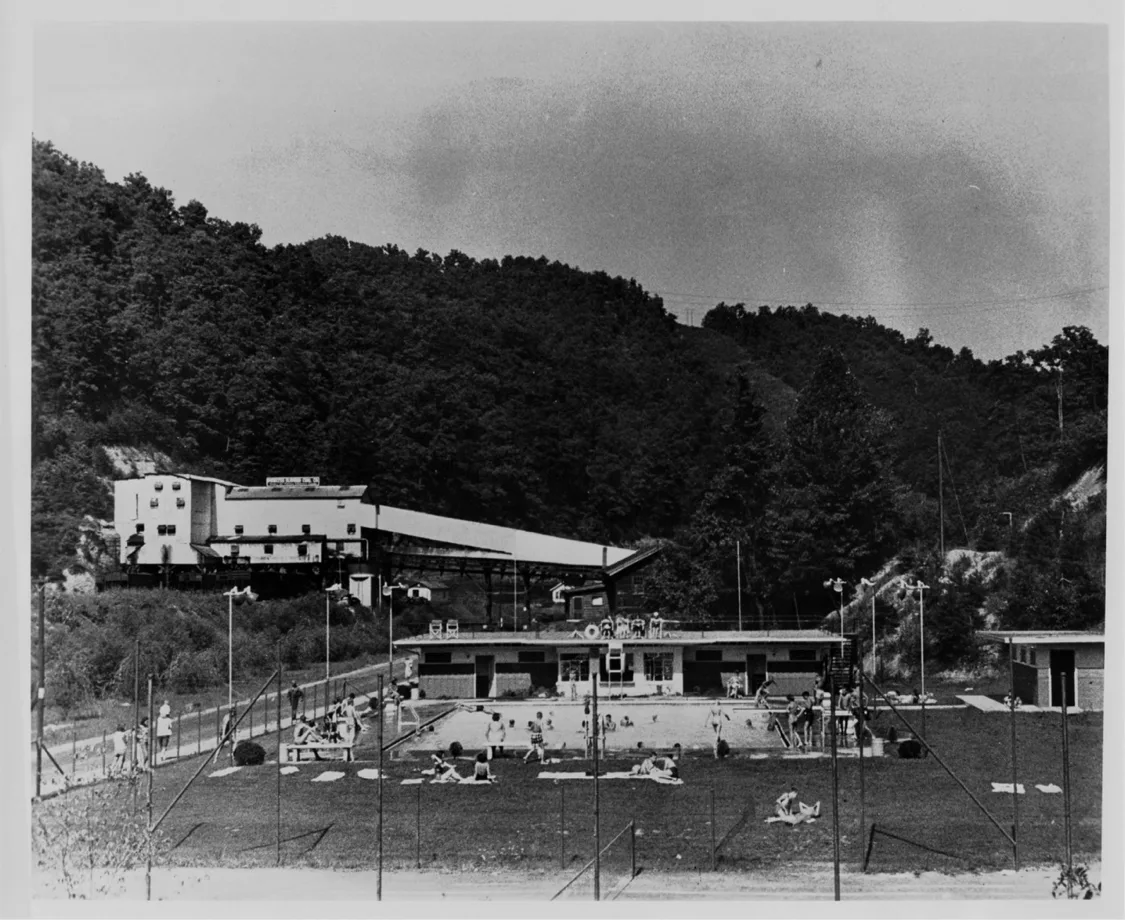
In 1965 Princes Elkhorn had five underground mines in production. Mine No. 4 was its largest tonnage producer, mining 347,487 tons of coal, the least tonnage of all mines No.5, only producing 2,400 tons with four men total. Princes Elkhorn Coal Company’s total coal production in 1965 was 884,149 tons, with a total of 343 men, working the mines and tipple. All coal production was from the Elkhorn No. 3 coal vein.
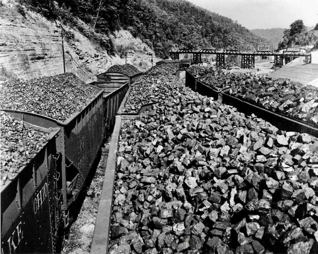
Princess Elkhorn Tipple, David, Kentucky
______________
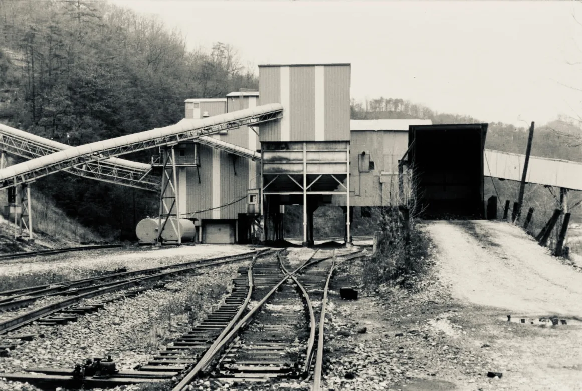
Middle States Coal Company, David, Kentucky
Prestonsburg
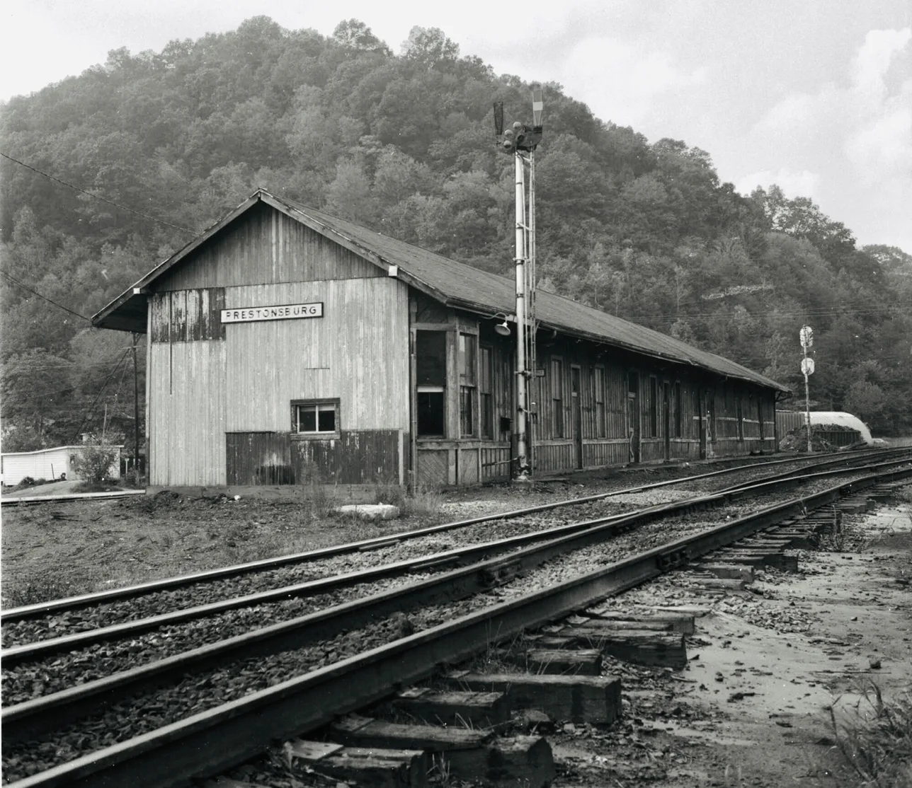
The first train arrived in Prestonsburg on November 15th, 1904.
Prestonsburg C & O Station
Colonial Coal Company
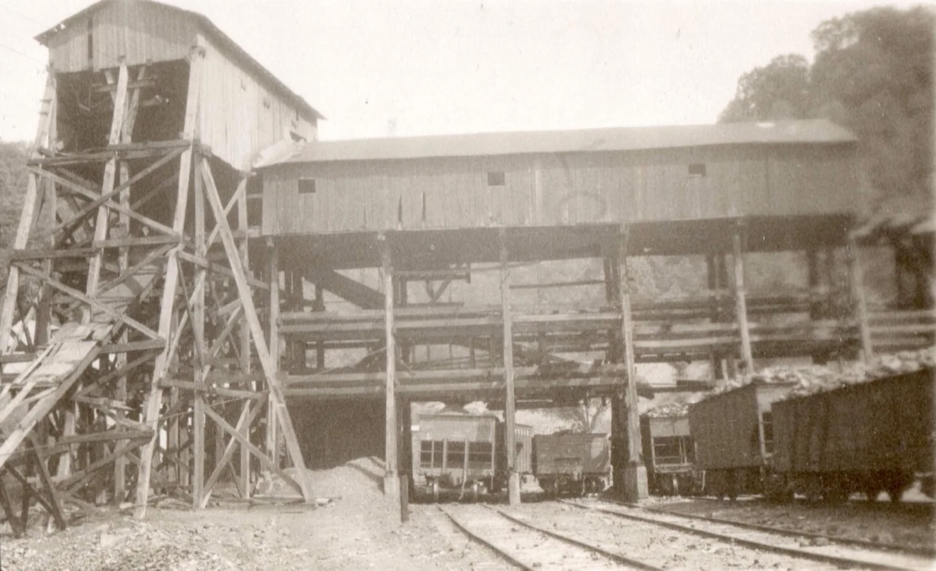
Colonial Coal company, Colonial #5 Mine, mile post 74.9 [cohs 46296] 1929
Colonial Coal Company
P.O. Prestonsburg, Ky.
Express Office, Prestonsburg, Ky.
C.W. Evans, General Manager.
(J.C. Smith, Mine Foreman.)
These are drift mines in the No. 1 scam of coal. Mining is done with Goodman shortwall electric machines. Coal is hauled to the mouth of No. 4 mine, where the motor geta it and takes it to the tipple. No. 3 Mine is about 240 feet above the No. 1 coal, and the coal is about 5 feet in height. No. 2 Mine is worked out. All conditions were satisfactory.
[Annual report of the Department of Mines, State of Kentucky 1914]
By 1912, the expansion of The Big Sandy Railroad and coal operations continued to shape the region, with new lines reaching deeper into the Levisa River and supporting the ever-growing mining communities.
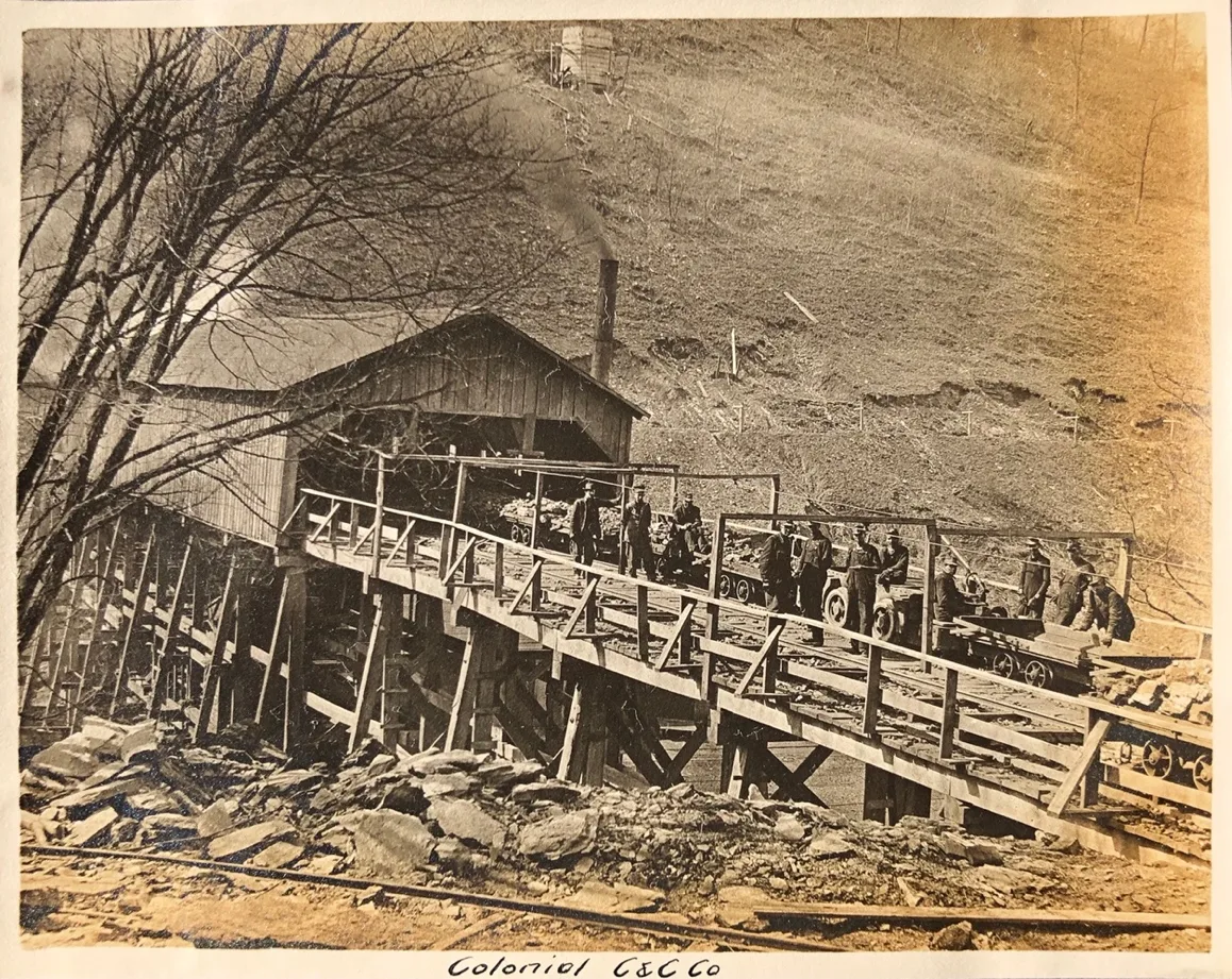
[Colonial Coal Company 1912, Danny Tackett Collection]
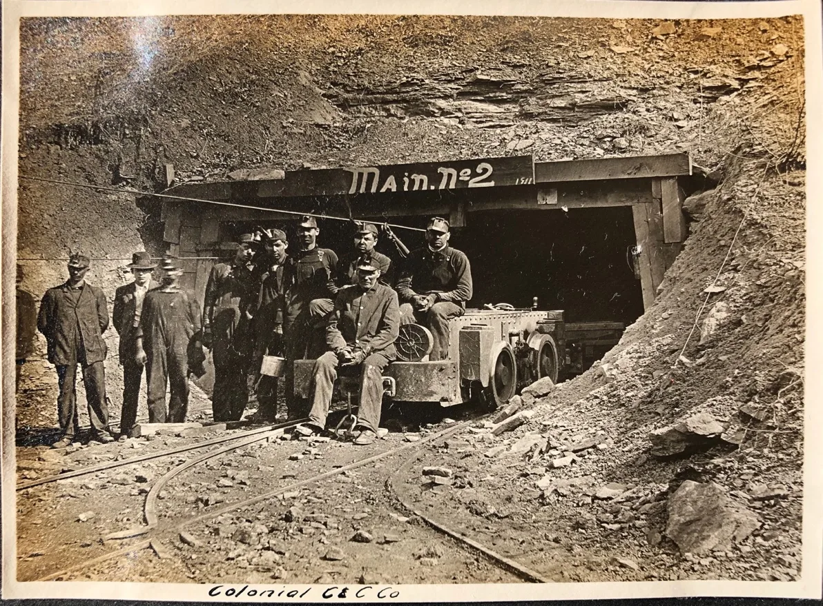
[Colonial Coal Company 1912, Danny Tackett Collection]
Bull Creek Sub-Division
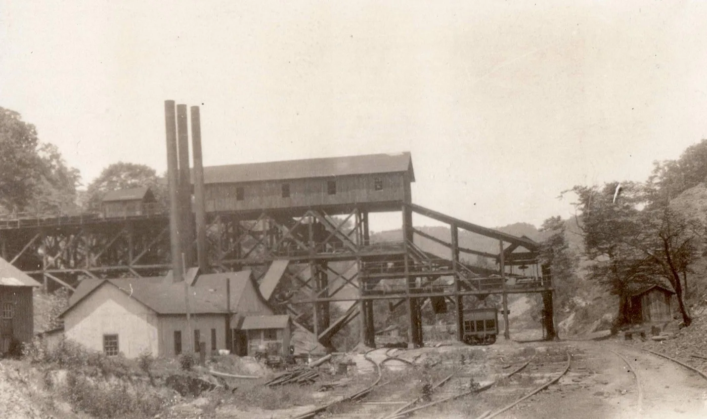
Coal River Collieries, Eureka Mines, 76.1 milepost C&O [cohs 46298] 1929
Alonzo
American Fuel Company
Alonzo Mine. – (Wm. Daniels, Mine Foreman.)
P.O., Emma, Ky.
Express office, Prestonsburg, Ky.
Forest Preston, Manager.
This is a drift mine, located about 8 miles above Prestonsburg, on the B.S. division of the C. & O. Ry. The coal is 36 inches, with a. 3-inch parting of 6 inches from the top, 6 inches coal; 3 inches slate; 30 inches of coal, sandstone top, with a fire clay bottom. The coal is cut with 4 puncher machines of the Harrison type and is hauled to the tipple with 5 mules.
Inspected February 12. —All conditions were satisfactory, except ventilation, and I could not get a reading at any point in the mine.
Inspected again July 16th, and the same condition existed. They had struck a fault in the main heading and were about the abandon the mine, was the excuse they made for not having the ventilating power in a good condition.
Another inspection was made on December 7th, and the same condition existed, and I gave them a notice to get a fan or build a furnace as the entry had gone through the fault. They put in a 6-foot fan.
[Annual report of the Department of Mines, State of Kentucky 1914]
The Alonso Mining Company has bought the Clark Holding and is opening up new mines. The prospects are that this community and the vicinity will have mine operations for many years.
[The Big sandy News, January 19, 1917]
Emma
Winchester Coal Company, Emma, Ky.
Main Office, Prestonsburg, Ky.
R.N. White, General Manager; B.L. Porter, Superintendent,
This mine is located at Emma, Floyd County, Ky., and is on the C. & O. R. R. about six miles east of Prestonsburg, Ky. The operation is just across the river from the railroad siding and coal is transferred across the river to tipple of siding, by aerial tram, which carried 2-ton buckets. This mine is working No. 2 seam of coal, which is about 46 inches thick, with 6-inch parting. This mine is fully electrically equipped for mining and hauling coal, and ventilation is produced by fan. This operation has very good mining conditions in every way, and the officials in charge have co-operated with me in all my requests.
[Annual report of the Department of Mines, State of Kentucky 1923]
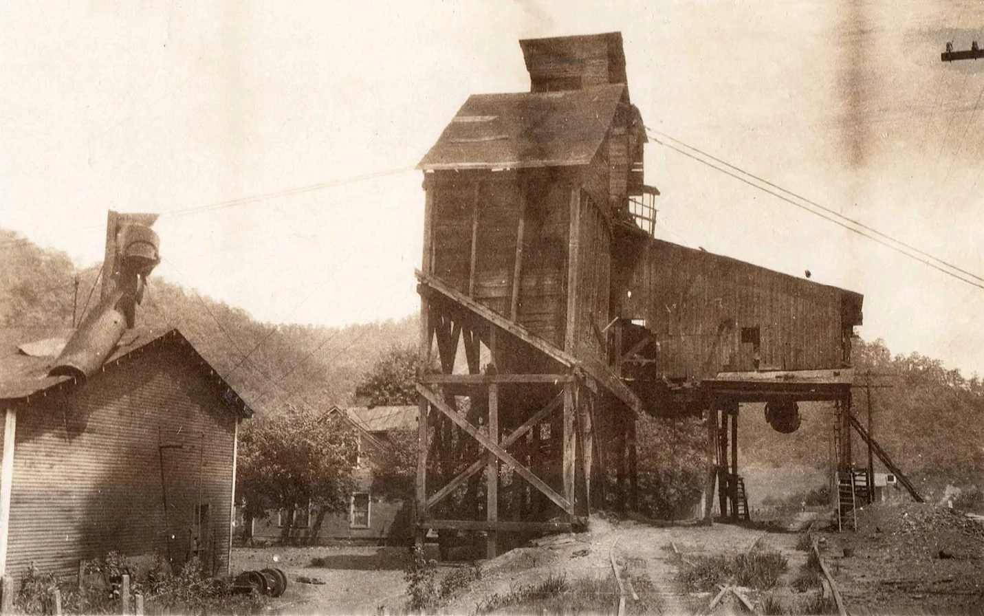
Winchester Coal Company, 80.0 milepost C&O [cohs 46299]
Martha Leslie Coal Company, Emma, Ky.
Main Office, Prestonsburg, Ky.
Hiram Harris, President; S.E. Allen, General Manager.
This mine is located at Emma, Floyd County, Ky., on C. & O. railroad, about eight miles east of Prestonsburg, Ky., and is working No. 2 Elkhorn seam of coal, which is about 42 inches thick; free from parting; has good slate roof. Coal is shot off solid and hauled by mules, and is ventilated by fan. Owing to low market conditions during the past year for mine run coal, this mine did not operate but very little, having closed down some time in March, and did not resume operating throughout the year.
Dwale
Elkhorn & Beaver Valley Sub-Division
The Elkhorn & Beaver Valley was incorporated on May 16, 1904, under the general laws of Kentucky. Its organization took place May 18, 1904.
The owned mileage of the Elkhorn & Beaver Valley, originally extending from the Mouth of Beaver Creek to Wayland, Ky., a distance of 20.74 miles, was all acquired by construction, in 1913 and 1914, under supervision of the carrier. The road was constructed along the route previously surveyed and claimed by W. F. Hite, one of the incorporators and the first president of the Elkhorn & Beaver Valley and also an officer of the Beaver Creek Consolidated Coal Company, for the development of whose property the road was projected. Hite surrendered to the Elkhorn & Beaver Valley his claim for prior right of location of a line along Beaver Creek, upon the delivery to him of $30,000 par value of common stock, and under agreement dated June 11, 1911, between the Beaver Creek Consolidated Coal Company and the carrier, the latter assumed the construction of the road and the Beaver Creek Consolidated Coal Company transferred to the carrier, without cost, the $30,000 par value of common stock previously issued to Hite. Concurrently the Beaver Creek Consolidated Coal Company agreed to convey to the Elkhorn & Beaver Valley, without cost, the necessary right of way, of not less than 60 feet in width, through its lands and to secure and convey, also without cost, to the Elkhorn & Beaver Valley the necessary land for yard and station purposes at the mouth of Steel Creek. Later Elkhorn Beaver Valley Railway would eventually extend far be on Wayland to the head of Right Beaver Creek and a Sub-Division extending up Jones Fork.
Beaver Junction
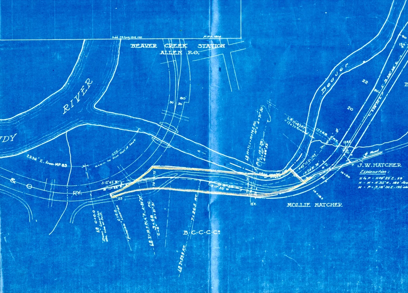
A blueprint plat of the Beaver Creek Railroad Entry. Survey shown after 1911.
The Big Sandy Railway had pushed its tracks to Dwale and to the Mouth of Beaver Creek on November 19th, 1904.
February 28th 1905, J. W. Hatcher, his wife Emma Hatcher, J.S. Hatcher and his wife Mollie Hatcher conveyed “sold” to one John Ensign of Cabell County, West Virginia, a tract of land situated on the south- east side of Main Beaver Creek/Mouth of Beaver, the lower end of the tract being about one fourth of a mile from said Beaver Creek, Floyd County, Kentucky. The conveyance from the Hatchers to John Ensign covering a right of way about 18 foot wide. The reason why John W. Ensign needed this right of way, he needed to move a certain lot of timber and lumber owned by himself just short ways up Beaver Creek, the description reads:
Beginning at a point on the Big Sandy Railway N 18 45 W477 feet from the N. E. corner of J. W. Hatcher’s store house; thence over the land of J. W. Hatcher’s and J. S. Hatcher’s upon the line as surveyed February 28, 1905, by engineer J. F. Prindable is now on file in the office of the Clerk of Floyd County Court and in the possession of said Elkhorn & Beaver Valley Railway Company, and is referred to and made a part hereof. The Deed called for Right of Way of a narrow strip of land for a “Narrow-Gauge” Railroad not exceeding the width of 18 feet for a single line of rail. John W. Ensign had bought several parcels of land on Beaver Creek, especially around the Mouth of Beaver during 1905.
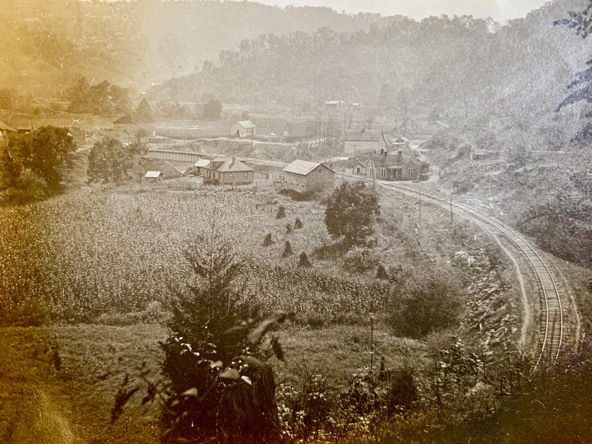
The property that John W. Ensign bought off of the Hatcher’s is lying on the right-hand side of the railroad at the Mouth Beaver Creek, this photo was taken in the early Fall of 1912.
But suspicions started to rise when they noticed on October 5th, 1905, that John W. Ensign sold his interests to Beaver Creek Coal and Coke Company. The President was George F. Miller, Secretary of the Corporation. William Francis Hite and Beaver Creek Coal and Coke Company, a corporation organized under the laws of West Virginia had purchased several thousand tracts of land on Beaver Creek. W. F. Hite was the brother-in-law to John W. Ensign. John’s sister was named Anna Clarinda Ensign, making W.F. Hite the son-in-law of Ely Ensign. William F. Hite was 14 years old when he entered the C&O Railway System, and he quickly became a freight agent for the C&O. Earlier Hite had worked for Baltimore and Ohio in the same position. In 1897 he became the first Republican mayor in Huntington.
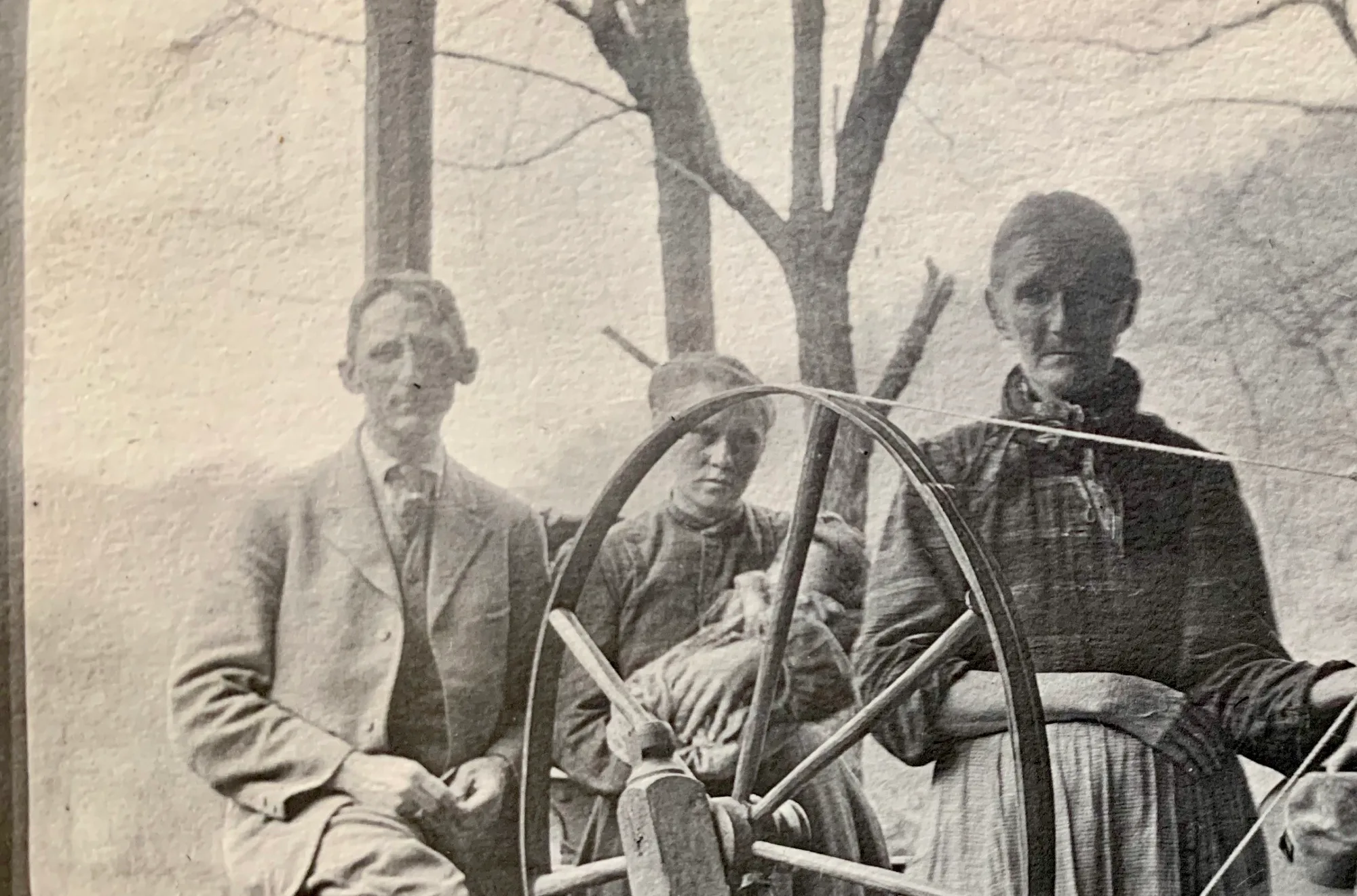
Left to right: W. F. Hite, and relatives of Rev. Scott Burke on Left Beaver 1912
W. F. Hite had a great number of Elite friends throughout the Big Sandy Valley. Working throughout his early days with C. & O. had gained him a lot of respect. He would later on own several companies and become a heavy mover, and shaker throughout the coal industry and the railroads. In the early 1900’s W. F. Hite would become a partner with several powerful well-known names like C. L Ritter (Ritter Lumber Company) and John C.C. Mayo in the coal industry. Companies such as Laclede Coal & Coke, Montrose Land and Mining Company, Beaver Creek Coal & Coke Company, Beaver Creek Consolidated Coal Company, Collins and Mayo Collieries, and several other companies.
Looking down to the Mouth of Main Beaver Creek before the construction of The Elkhorn and Beaver Valley Railway, this photo was taken in 1912. Langhorne Construction Company of Greenwood, Virginia was awarded construction contract. Articles of Agreement was signed March 25, 1913.
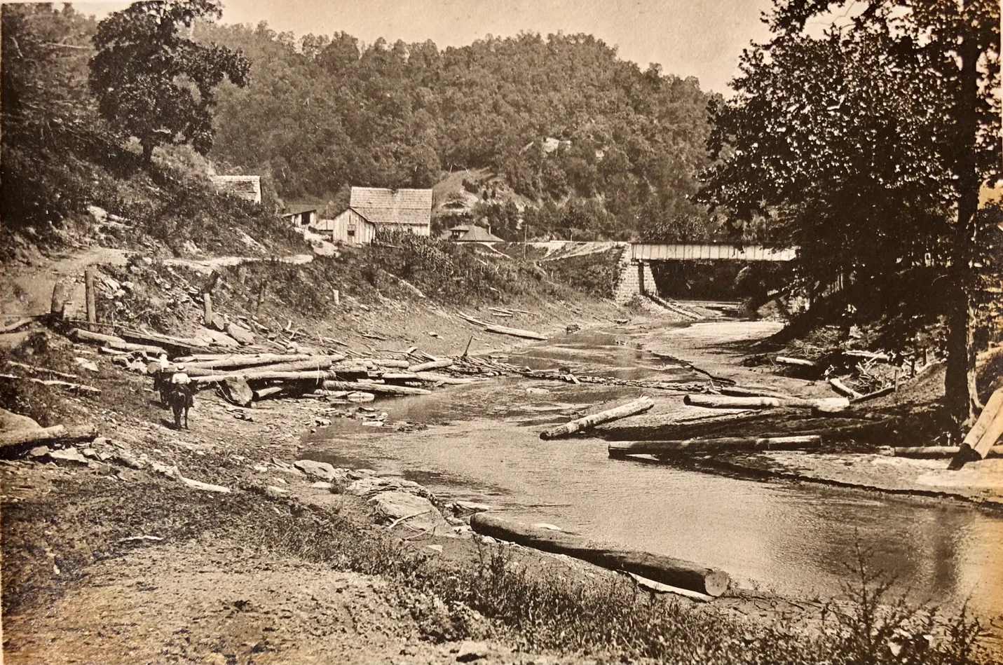
Shown in the photo is the J. S. Hatcher property. Showing a log boom near the Mouth of Beaver. This is before the railroad construction started up Left Beaver in 1913.
Ely Ensign was the founder of the Ensign Manufacturing Company. The company was originally established in 1871 in Huntington, West Virginia. Ensign Manufacturing Company’s first products were car wheels and gray iron castings. It would be almost 10 years before they start building wooden cars. Within a few years the company had become one of the largest car building facilities in the U. S. this was at least partially because- as a major investor in both Southern Pacific- Central Pacific and the Chesapeake & Ohio Railroads- C. P. Huntington “encouraged” both lines to buy from Esign. This would have been no big deal for the C. & O., as Huntington was on its mainline, but would have been much less convenient for the SP-CP.
By 1895, Ensign was turning out more than 4,000 cars per year, including box cars, stock cars, gondolas, mine cars, and snowplows, as well as car wheels, and castings of many different kinds. Situated in the midst of the Appalachian coal area it was only natural that it produced a great many mine cars as well as coal cars for the railroads.
In 1899, Ensign was one of the 13 independent car builders consolidated into the American Car & Foundry Company.
AC & F’s Huntington plant continued along the same lines but growing larger and more prosperous. It produced its first all- steel cars in the winter of 1905/06
-Courtesy of Mid-Continent Railway Museum
May 14th, 1910, Beaver Creek Coal and Coke Company sold land assets to Beaver Creek Consolidated Coal Company. Then the days that followed the Beaver Creek Consolidated Coal Company conveyed right of way property to Elkhorn and Beaver Valley Railway Company, deed book 36 page 635. Also, the Elkhorn and Beaver Valley Railway Company was noted as being a construction arm of B.C.C.C. Elkhorn Beaver Valley was originally incorporated on May 16th, 1904. Beaver Creek Consolidated Coal Company and its subsidiary corporations; that said Beaver Creek Consolidated Coal Company was the owner of a large boundary of coal and mineral lands and lands in fee on Main Beaver Creek, Right Beaver Creek, and Left Beaver Creek, approximately one hundred thousand acres; that in order to develop the same and render the said coal and minerals of value it was necessary to secure the construction of a line railroad from the connection with the Chesapeake and Ohio Railway Company at present day Allen, Kentucky. With all the wheels finally set in motion, engineering done, right of ways complete, and the final agreements on the property finalized its time to build the railroad up Beaver Creek.
The Contract #1
ARTICLES OF AGREEMENT, made and entered into this twenty-fifth day of March, A. D., 1913, between The Elkhorn and Beaver Creek Valley Railway Company, a corporation of the State of Kentucky, party of the first part, and hereinafter called “The Company” and C. D. LANGHORNE CONSTRUCTION COMPANY, of Greenwood, in the State of Virginia, party of the second part and hereinafter called “The Contractor”.
WITNESSTH, to-wit:
FIRST: That the contractor, for and in consideration of the premises, and of the covenants, agreements, and payments hereinafter mentioned, to be made by the Company, hereby covenants and agrees to and with the Company as follows, — Viz.:
- The contractor agrees that he will construct, build and in every respect complete all the grading, masonry and other work required for a single track railroad for Beaver Creek Station, Ky. on Chesapeake & Ohio Railway, to Steele Creek, a distance of about twenty-one miles, in Floyd County and the State of Kentucky, or so much of said work as may be given him to perform, in strict accordance with the annexed specifications, which are signed by the parties hereto, and are made a part of this agreement, and are hereby declared and accepted as an essential part of the same, all of the said work to be done under the direction and inspection of the Railway Company’s Engineers, duly appointed to superintend the same, and to the full satisfaction and acceptance of the Engineer of the said Railway Company.
- The contractor hereby agrees that he will, at his own expense, cost and charge, find and provide a full ample supply of the best and most suitable tools and appliances required to be used in the performance of the said work, and will also provide the best material of every kind that may be needed for the thorough and expeditious execution of the said work, and will furnish in sufficient numbers mechanics, laborers and other workmen, and also all things that may be required for constructing and completing, within the time herein specified, the whole of the work herein agreed to be done.
- The work shall be done in strict conformity with such lines, levels, stakes, profiles, plans, maps, drawings, specifications and instructions, as shall from time to time, be given by the Company’s engineer, as herein provided, for the guidance and direction of the Contractor.
- The work shall be commenced on or before the 25 day of March 1913, and shall be completed on or before the last day of January 1914.
- Any replacement or repair rendered necessary upon or about the work herein contracted for, during a period of six months from and after the date of the completion of the same by reason of defective material or workmanship furnished or performed by the Contractor, shall be made by the Contractor, upon demand, without cost or expense to the Company.
SECOND: The Company, for and in consideration of the true and faithful performance of the covenants and agreements made by the Contractor, hereby covenants and agrees to pay, or cause to be paid, to the Contractor, his executors or administrators, the rates and prices hereinafter named– To- wit:
| For clearing right-of-way, | $50.00 per acre |
| For solid rock excavation, | $0.79 per cubic yard |
| “Lose” | $0.45 per cubic yard |
| “Earth” | $0.30 per cubic yard |
| “Unclassified Creek Change” | $0.46 per cubic yard |
| “Foundation- wet” | $1.50 per cubic yard |
| “Foundation- dry” | $0.80 per cubic yard |
| “Filling in cofferdams” | $— per cubic yard |
| “1st- class bridge masonry” | $—per cubic yard |
| “2nd class bridge masonry” | $— per cubic yard |
| “3rd class bridge masonry” | $— per cubic yard |
| “1st class arch masonry” | $— per cubic yard |
| “2nd class arch masonry” | $— per cubic yard |
| “3rd class arch masonry” | $— per cubic yard |
| “Brick masonry” | $— per cubic yard |
| “Box culvert masonry- dry” | $— per cubic yard |
| “Box culvert masonry- in cement” | $— per cubic yard |
| “Retaining wall- dry” | $— per cubic yard |
| “Retaining wall in cement” | $— per cubic yard |
| “For slope wall” | $— per cubic yard |
| “For Riprap” | $— per cubic yard |
| “For paving- laid dry” | $— per cubic yard |
| “For paving grouted” | $— per cubic yard |
| “For Concrete- in forms” | $7.08 per cubic yard |
| “For Concrete in foundations” | $— per cubic yard |
| “For Drain- pipe in place cast iron” | $49.35 per cubic yard |
| “For timber in foundations” | $— per 1,000 feet B.M. |
| “For timber in trestle’s” | $— per cubic yard |
| “For timber in coffer- dams” | $44.25 per cubic yard |
| “For piling driven in place” | $0.50 per lineal foot |
| “For wrought iron in place” | $— per pound |
| “For cast iron in place” | $— per pound |
| “For tunnel excavation” | $3.42 per cubic yard |
| “For tunnel breakage” | $1.00 per cubic yard |
| “For tunnel inside masonry” | $— per cubic yard |
| “For tunnel timber in place” | $49.30 per 1,000 feet B. M. |
| “For lining- concrete” | $— per cubic yard |
| “For packing- dry” | $1.50 per cubic yard |
| “For packing” | $— per cubic yard |
| “For overhaul over 1,000 | $0.1 ½ per cubic yard |
feet, per 100 feet”
The Railway Company agrees to pay the Contractor a lump sum of $6,000.00 to cover the cost of moving machinery between Beaver Creek Station and the site of the work.
The Railway Company agrees to furnish cement f.o.b. Cars at sidetrack nearest the work.
The Contractor agrees that he will place on the work (2) steam shovels, (2) air compressors, (2) concrete mixers and such additional equipment- mules and labor, – as is necessary to meet the requirement of the Chief Engineer to ensure the completion of the work by January 1st,1914, or before that time, is practicable.
2. —————- 14 skipped
15. Whenever the word “Engineer” or “Chief Engineer” is used herein, it shall be understood to refer to the chief Engineer of the Elkhorn & Beaver Valley Railway Company.
IN WITNESS WHEREOF, the said parties hereto have caused these presents to be signed by their respective officers thereunto duly authorized, the day and year first above written.
C. D. LANGHORNE CONSTRUCTION COMPANY
Witness.
BY
C. D. LANGHORNE, PRESIDENT
THE ELKHORN AND BEAVER VALLEY RAILWAY COMPANY
Witness.
BY F. T. CABELL, CHIEF ENGINEER
[Harkins Papers, University of Kentucky]
Approximately April 30, 1913, Ligon and Sherrard Construction Company was subcontracted by C.D Langhorne Company to construct graded Railroad bed and tunnels on the Elkhorn and Beaver Valley Railway to the mouth of Steele Creek the owner of Ligon and Sherrard Construction Company was C.Y. Ligon and Holmes Sherrard. Subcontractors must be approved by Elkhorn and Beaver Valley Railway in 1911.
[Harkins Papers, University of Kentucky]
Note: On June of 1911, Elkhorn and Beaver Valley Railroad Company and C.C. Dunn/Civil Engineer an employee of the Big Sandy Railroad/Chesapeake and Ohio Railway Company. C.C. Dunn was chief engineer re-surveying right of way centerlines on the railroad staring up from the mouth of Beaver Creek [Harkin Papers]. These survey lines were completely different than the Prindible Survey done on February 28, 1905. On July 1, 1912, another deed with a plat map by Mr. Salisbury a railroad employee, was taken to the landowners. [Harkins Papers] This caused later litigation against the railroad. Even the name C.C. Dunn’s had come up in the court proceedings on February 3,1916 and it was stated during testimony C.C. Dunn was now working at the town of Weeksbury.
Approximate Estimate
Kentucky Railroad- Beaver Creek Division Summary
Estimates by J. F. Prindable / Civil Engineer
John C.C. Mayo Companies
Year prior before 1902
| Item | Quantity | Price- Dollars | Amount- Dollars |
| Unclassified Excavation | 319,091 Cu. Yards | $0.50 | $159,545.50 |
| Borrow Embankment | 537,767 Cu. Yards | $0.35 | $188,218.45 |
| Stream Diversions | 71,551 Cu. Yards | $0.30 | $21,465.30 |
| Highway Changes and Crossings | $0.435 | $3,100.00 | |
| Tunnels | 1250 feet | $60.00 | $75,000.00 |
| Masonry- Bridge & Arch | 10,041 Cu. Yards | $8.00 | $80,328.00 |
| Masonry- Box Culvert | 2,881 Cu. Yards | $6.00 | $17,286.00 |
| Masonry- Paving | 205 Cu. Yards | $3.50 | $717.50 |
| Bridges | 1,332,000 lbs. | $57,942.00 | |
| Cast Iron Pipe | 732,175 lbs. | $0.018 | $13,179.15 |
| Cast Iron Pipe End Walls & Laying | 732,175 lbs. | $0.005 | $3660.87 |
| Track Complete | 35.6 miles | $8,500.00 | $302,600.00 |
| Passing & Commercial Sidings Complete | 3.6 miles | $10,000.00 | $36,000.00 |
| Water Supply | 3 stations | $3,500.00 | $10,500.00 |
| Fencing | 35.6 miles | $300.00 | $10,680.00 |
| Telegraph Line | 35.6 miles | $200.00 | $7,120.00 |
| Right of Way | 35.6 miles | $1,000.00 | $35,600.00 |
| Stations | 3 stations | $1,250.00 | $3,750.00 |
| Engineering & Superintendence | 35.6 miles | $650.00 | $23,140.00 |
| TOTAL | $1,049,832.77 |
C & O Allen Freight Station 1970
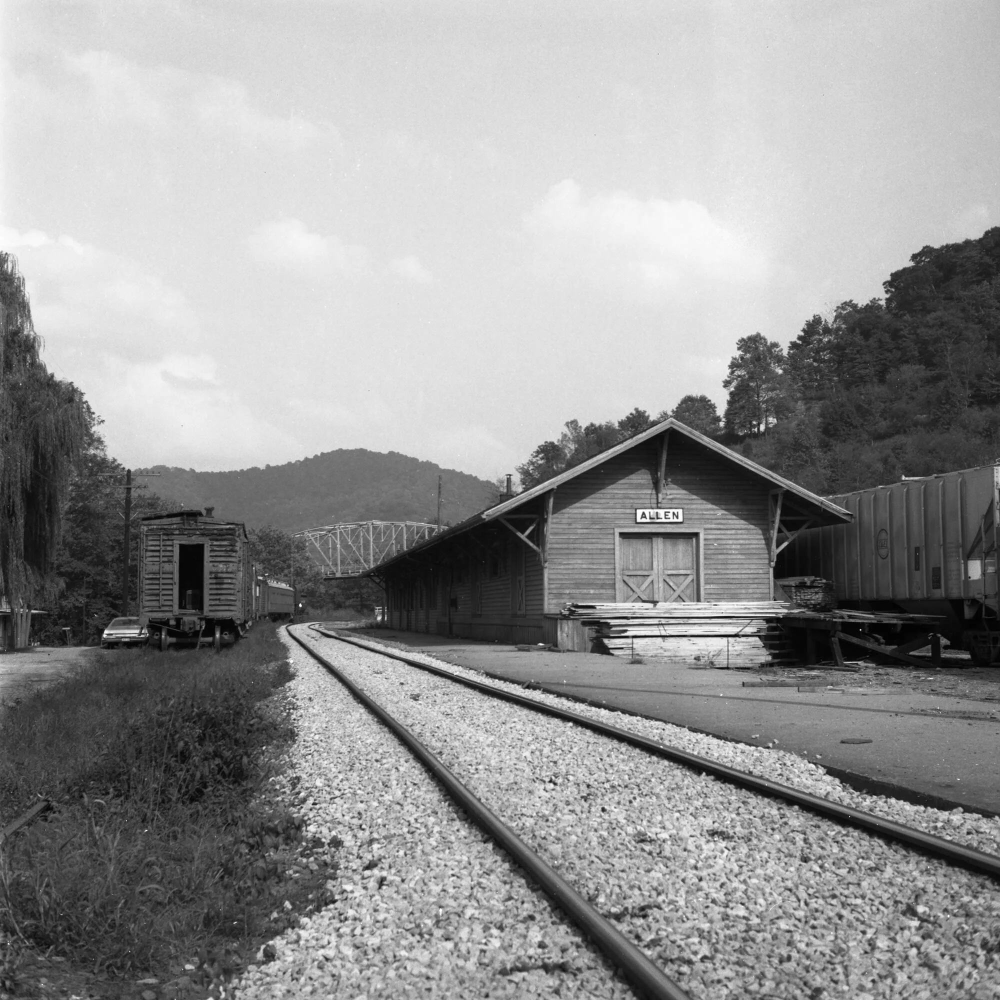
Colliver
Arkansas
Martin
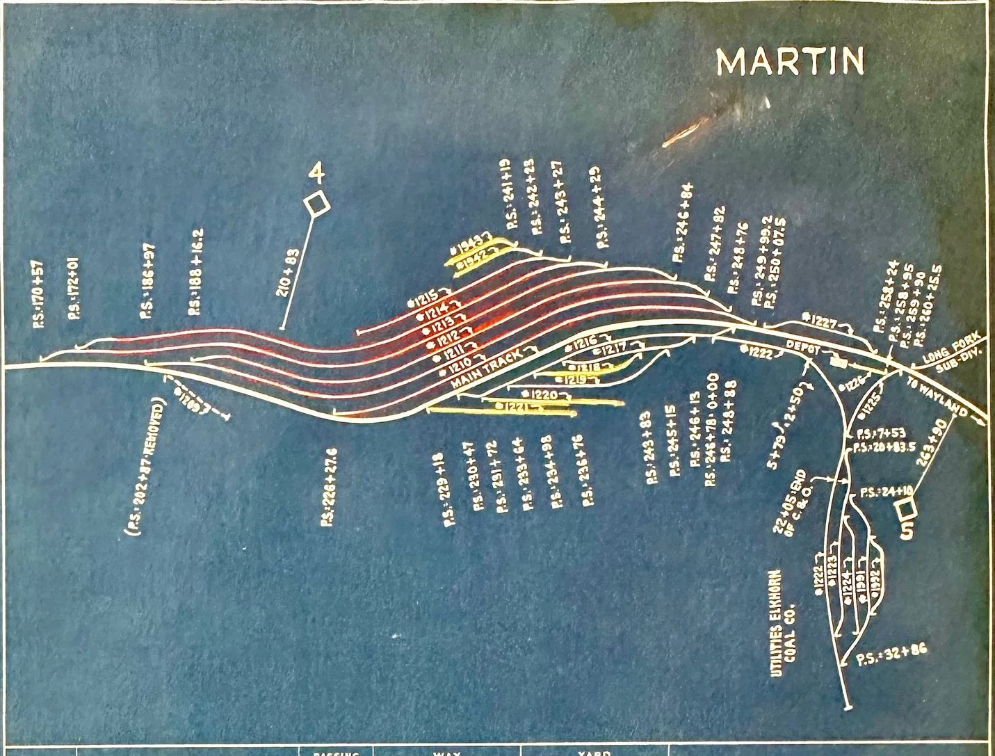
Martin, Ky was nicknamed C & O’s Biggest Little Yard in the world,” said one Ashland Division brakeman to another, in a conversation in which the facilities of Russell Terminal, as well as other yards, were being discussed. Russell Terminal, as both men knew, was referred to in the May [1937] issue of the Chesapeake & Ohio-Pere Marquette Magazine as “the world’s largest individually owned and operated railroad terminal.”
The brakeman’s remark about Martin Yard being the “biggest little yard” invited other comments which resulted in the following facts which more or less bear him out; Martin Yard, when filled to capacity, holds considerably holds less than 30 cars, but frequently necessary to handle more than 700 cars or todays seven-unit trains during a 24-hour period. This volume of business is normal movement during the Lake Season.
The yard consists of three tracks which are used as Receiving, Classification, and Forwarding tracks. There is also a track of approximately 30 car lengths, which is used more or less as a RIP track, and two short stub-end car repair tracks.
During an average month of this year a greater volume of business was handled through Martin Yard than was handled through any other yard on the Ashland Division. While it may not seem possible, that included Ashland yard, which handled more than 16,000 cars during the same month, and the volume of business was handled at a cost of slightly over 24 cents per car.
By reviewing receiving records at the yard office at Martin, the receipts for a five-day period were 638 cars, 649 cars, 670 cars, 681 cars, and 643 cars, or more than twice the capacity of the yard received every 24 hours, and the same number of cars forwarded from the yard during the same period. It is doubtful that there is another yard on the system that can show handling more than twice its capacity each 24 hours.
While Russell Terminal is proud of the number of cars it will hold, Martin Yard is proud of the number that are received and forwarded promptly; very few cars ever remaining in the yard longer than six hours, with a large number of them moving out within two or three hours.
Martin Yard is located in the rich Elkhorn Coal Field and has the distinction of serving the largest coal mine on the Chesapeake & Ohio system, the Wheelwright Mine of the Inland Steel Company, located at Wheelwright, Kentucky. Wheelwright Mine has a daily rating of 115 cars. There is also located in this territory two mines of the Elkhorn Coal Corporation, whose combined ratings are 90 cars per day. Those, together with 18 other mines which require 216 coal cars per day, means that 421 coal cars must move through Martin Yard to supply the mines served by it for one day’s run, and a like number of loads must be handled from the mines through the yard in the opposite direction.
In order to handle the volume of business passing through Martin Yard, the highest degree of cooperation and constant close supervision is required.
Schedules must be determined and followed as closely as possible. The men operating the yard have received wholehearted cooperation from the Mechanical Department, and from the Chief Dispatcher and Car Distributor, at Ashland. Without this cooperation, anyone familiar with the operation of a yard knows that such a volume of business could not be successfully and economically handled with such limited facilities.
Two-yard crews are regularly employed at Martin. They build all loaded and empty trains moving out of the yard. Empty trains are so arranged that when a mine-run crew reaches a mine to be supplied with empty coal cars the cars are in proper order, with respect to various types and capacities, ready to be set off on different tracks just as has been requested by the mine, and without any switching required to supply the mine.
Normally, ten trains are received, and ten forwarded during a 24-hour period. Some of the inbound trains consist of 160 cars. The outbound trains consist of more than a hundred cars. As the longest of the three tracks holds less than a hundred cars, considerable planning must be done in advance to ensure arriving trains being handled into the yard and the crew being relieved promptly. This is done to the extent that an average of approximately 25 minutes is consumed from the time trains arrive at the yard until the crew is relieved
It is necessary for outgoing trains to charge the braking system of their trains and make an air-brake test before departing. This is done on every train and is so handled that the loaded trains consume approximately 40 minutes from reporting to departing time, while the empty trains consume approximately 25 minutes.
The yard force at Martin consists of a general yardmaster, two assistant yardmasters, and three clerks. Besides handling all of the checking, records, and reports, the clerks call each member of every crew, which requires a considerable part of their time. Few telephones are available, which means the clerk must walk to the home of each employee. Many of them live nearly a mile away from the yard office, and the members of each crew are widely scattered.
The Car Department consists of a car foreman and six inspectors and oilers. They handle this phase of the work during the full 24-hour period, which includes inspection of all arriving trains, coupling air, and making air-brake tests on all leaving trains. During the time their services are not required in the transportation yard, their numerous other duties include repairing all bad order cars placed on repair tracks. In a recent month 157 cars were repaired by this force. Included in the repairs were 29-wheel renewals. Somewhat of a record here, in that not a single car was delayed more than 24 hours for repairs. The work of this force is so arranged, through advance notices, that they handle inspections, couple air, and make air-brake tests with a minimum of delay to the transportation employees. The cooperation of the Car Department crew, and the efficient manner in which its work is carried on, has assisted materially in building up and maintaining the record enjoyed at Martin Yard.
To take care of the volume of business handled through Martin Yard, with the limited facilities available, requires that each and every employee connected with its operation must work as rapidly as possible. In spite of this, it is noted that no injury has occurred with a yard employee for several years. Also, that no train service employee in the entire Martin District sustained an injury sufficient to cause him to lose time during the year 1936. The railway company is proud of the employees in the Martin District, for the type of work they do, as well as for the safe manner in which it is done.
[C&O Magazine, September 1996, originally published in September 1937 C&O/ PM Magazine. The author was a stenographer at the Martin Yard]
Martin Junction
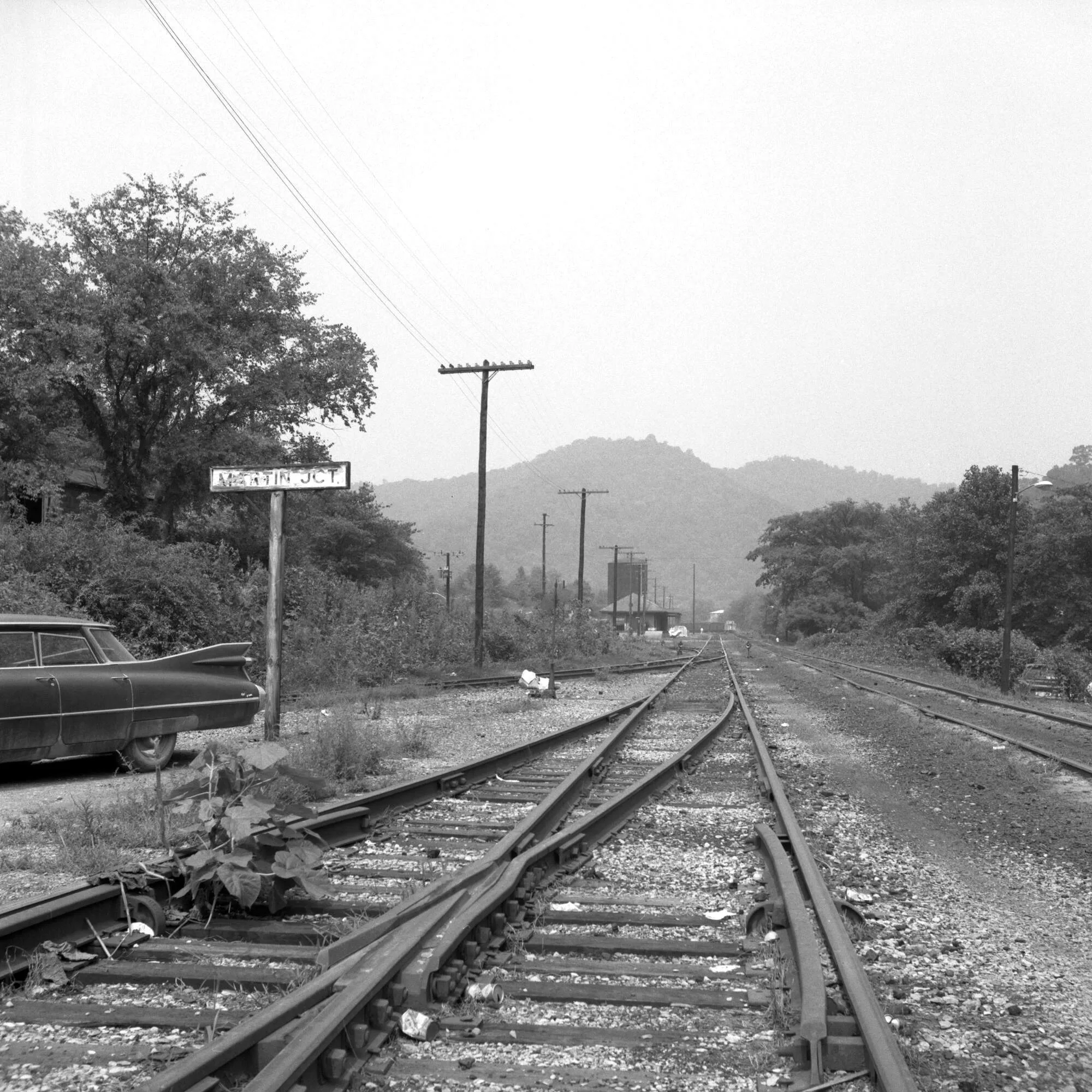
Coaling Station at Martin, Ky 1952
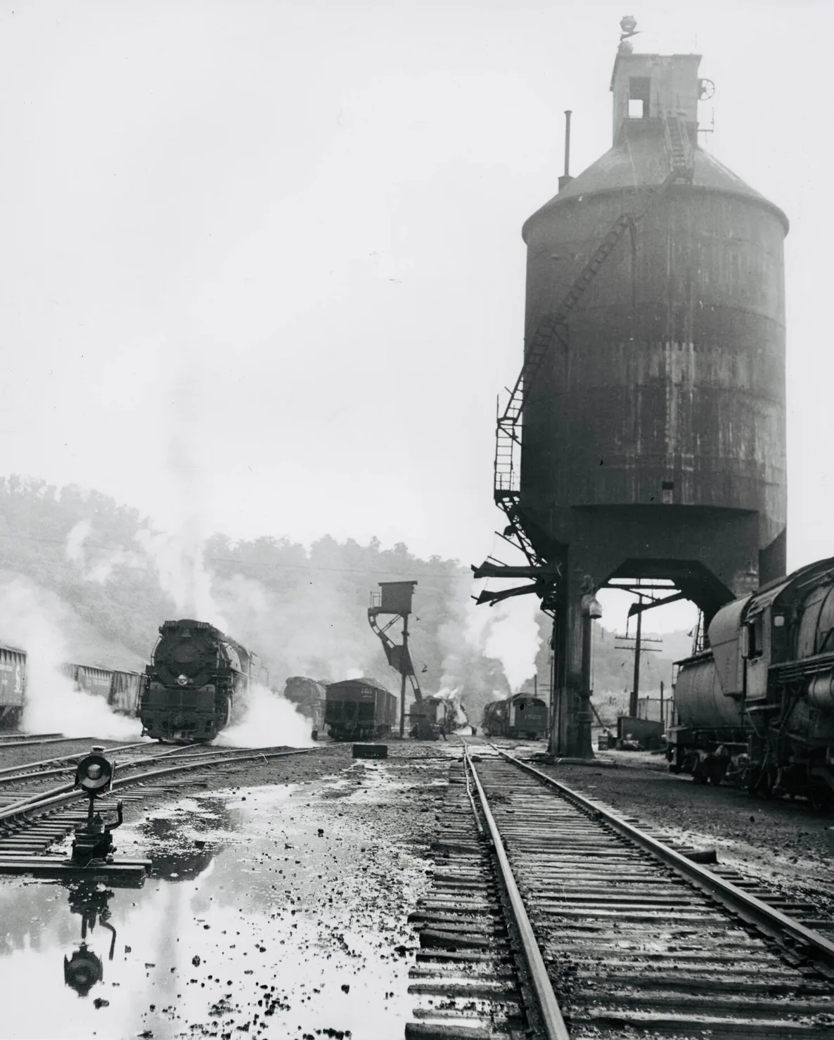
Coaling Station at Martin, Ky 1950
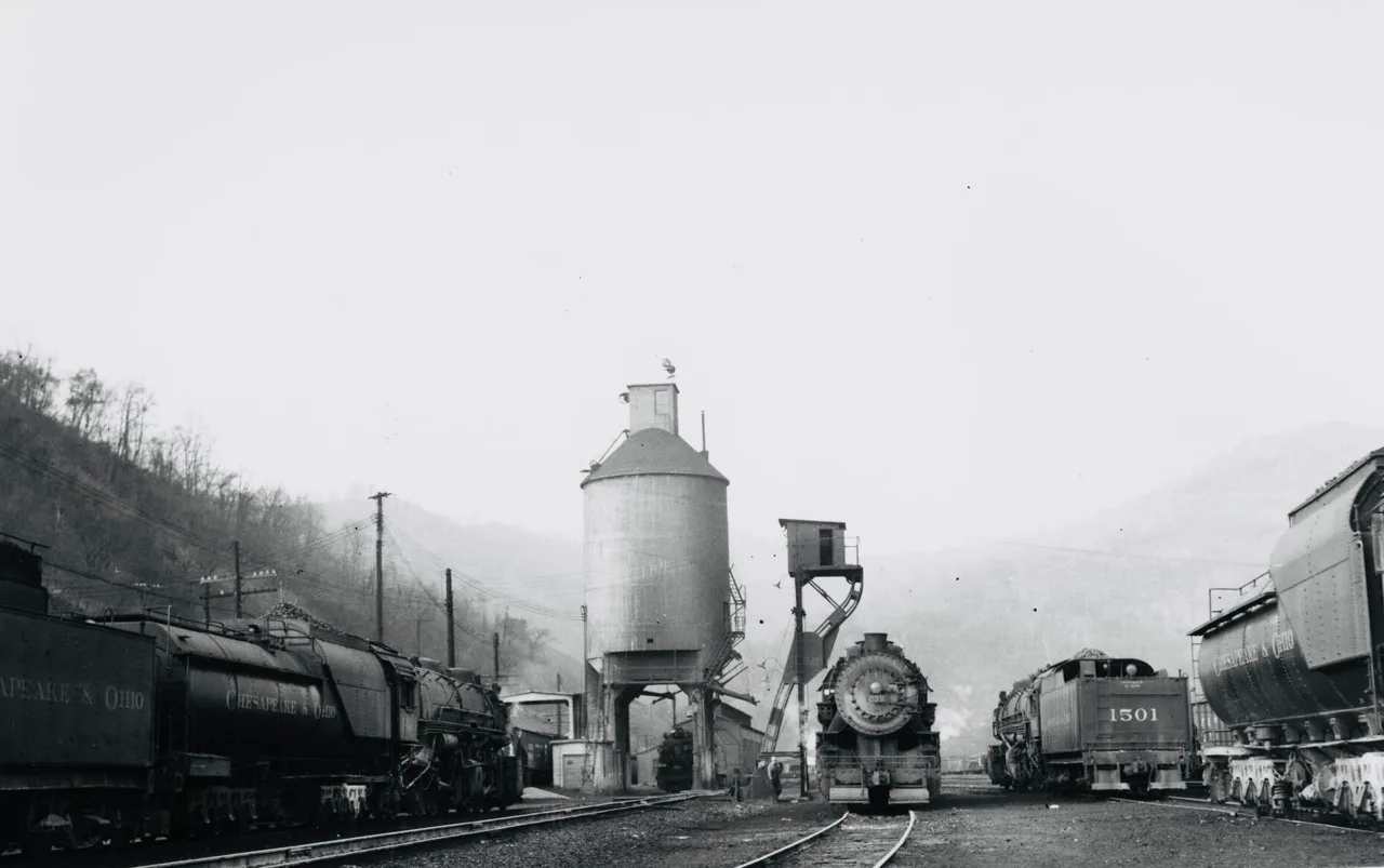
Mallets 1496, 1523, an 0-8-0 switcher, K-4 2785, plus other K-4s and Mallets, beckon the photographer to explore this wonderful assemblage of steam a little closer. Circa 1950. C&O photo, No. 2692.
C & O maintenance building at Martin, Ky
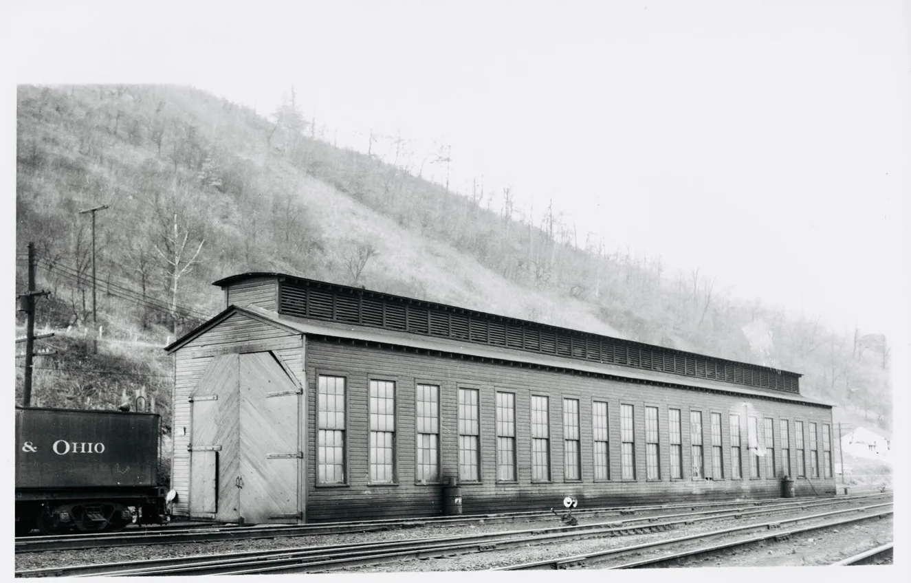
Long Fork Railway Sub-Division
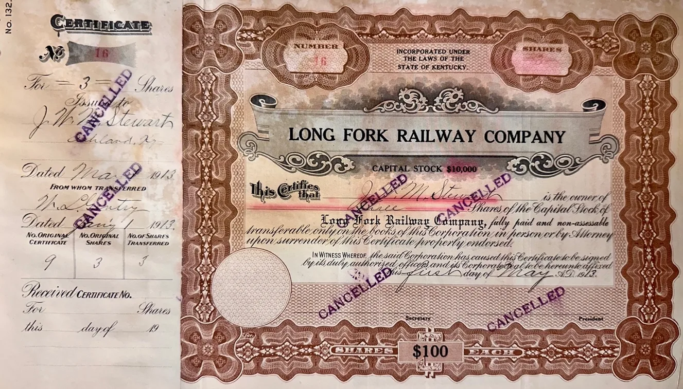
Long Fork Railway Stocks issued to John Westley Mayo Stewart nearly four years before its completion in December 1917
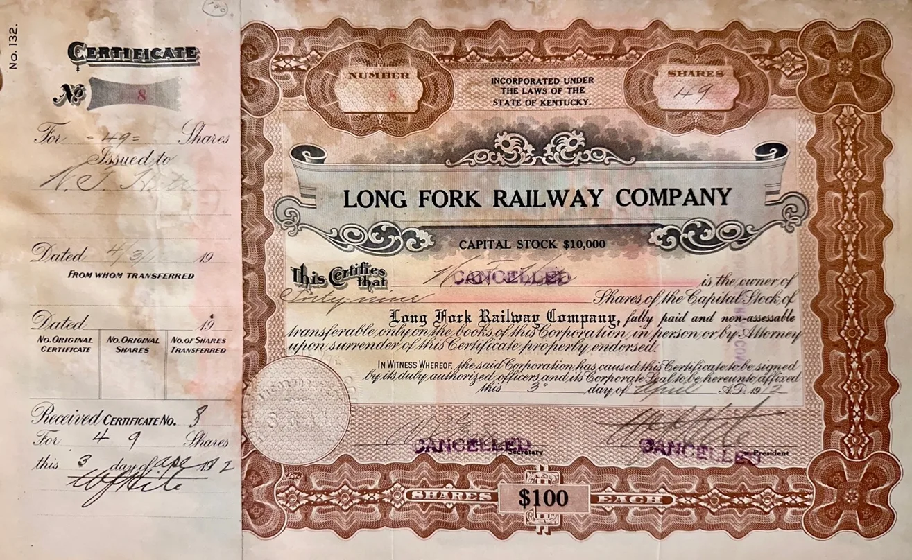
Long Fork Railway Stocks issued to William F. Hite nearly five years before its completion in December 1917
ARTICLES OF INCORPORATION OF THIS LONG WORK RAILWAY COMPANY.
TIE UNDERSIGNRD INCORPORATORS, JAMES BALISBURY,
B• F• COMBS, M. FLAHNIGAN, W. F. HITE, W P. McVAY, W.W.
BROWN AND R. FLANNIDAN HERBY ASSOCIATE THEMSELVES TOGETHER AND HEREBY ESTABLISH A CORPORATIONFOR THE TRANSACTION OF THE BUSINNESS HERAFTER NAMED.
The name of the corporation shall be *LONG FORK RAILWAY COMPANY.
II
The City of Prestonsburg, County of Floyd, State of Kentucky, shall be its principal place of business.
The purpose for which the said corporation is formed and the business proposed to be carried on, is to construct, acquire, owned, operate and maintain a standard gauge railroad, to be operated by steam or other motive power, from a point of connection with the Sandy Valley and Elkhorn Railway Company, at or near the mouth of Long Fork of Shelby Creek of Big Sandy River, in Pike County, Kentucky; thence, by the most practicable route, in a southerly direction across the valley of Shelby Creek and up the Long Fork thereof to the fork of aid Long fork; thence up the Right Fork of said Long Fork to the Knott County line. Also, from the forks of Long Fork, up the Left Fork of Long Fork, to the Letcher County line.
Also, from the mouth of Indian Creek, westwardly up Indian Creek, through Pike County, to the Floyd County line, at the head of Abner Fork of Left Beaver Geek; thence down Abner Fork, through Floyd County, to the mouth thereof.
Said road to be constructed or passing through the Counties of Pike and Floyd, and in or adjacent to the main valley of said Shelby Creek, Long Fork of Shelby Creek and tributaries thereof, and Left Beaver Greek and tributaries thereof, having a total length of twenty (20) miles, as near a con now be stated.,
The corporation hereby formed shall commence.
Construction begins on the Long Fork railroad near Alphoretta
The Contract #2
AGREEMENT
BETWEEN
ELKHORN COAL COMPANY CORPORATION
LONG FORK RAILWAY COMPANY
AND
THE BALTIMORE AND OHIO RAILROAD COMPANY
________
JUNE 10, 1916
________
COVERING CONSTRUCTION ON THE LONG FORK RAILWAY FROM A CONNECTION WITH THE CHESAPEAKE AND OHIO RAILWAY NEAR ALPHORETTA, KENTUCKY, UP THE LEFT FORK OF BEAVER CREEK; ALSO, THE OTTER CREEK EXTENSION, JACK’S CREEK EXTENSION AND CLEAR CREEK BRANCHES EXTENSION THEREOF
DEVELOPMENT OF COAL LANDS OF THE ELKHORN COAL CORPORATION AND SHIPMENT OF COAL THEREFROM.
________________________________________________________________________________________________________
MEMORANDUM OF AGREEMENT made this tenth day of June, 1916, by and between Elkhorn Coal Corporation, a body corporate, duly incorporated under the laws of the State of West Virginia, hereinafter called Coal Corporation, a party of the first part, and Long Fork Railway Company, a body corporate, duly incorporated under the laws of the State of Kentucky, and The Baltimore and Ohio Railway Company, a corporation chartered by the laws of the State of Maryland, hereinafter called respectively Railway Company and Railroad Company parties of the second part.
The parties mutually agree as follows:
The Railway Company and the Railroad Company promise and agree to and with the Coal Corporation that Railway Company will in the spring of 1916 begin the construction of its railroad up the Left Fork of Beaver Creek starting at a point in the track of the Chesapeake & Ohio Railway Company near Alphoretta, or such other point as it may determine, thence in a southernly, direction up the valley at the Left Fork of Beaver Creek, a distance of about 25.57 miles, to the mines of the Coal Corporation in Floyd County, Kentucky, substantially as now located and shown in red on the map hereto attached and hereby referred to as a part hereof, and continue such construction to the completion of its main line without avoidable delay, together with such side tracks as it may find necessary to reach the mines now opened or agreed to be open on lands of the party of the first part accessible from such main line.
The coal corporation will convey or cause to be conveyed to the Railway Company, free of charge, a right-of-way thirty-three feet in width at grade with necessary slopes through and over any lands owned by Coal Corporation or by any company controlled by it for the construction of said main line and extensions and branches thereof, and also will convey or cause to be conveyed to the Railway Company, free of charge, such additional rights-of-way through and over lands so owned or controlled, if any as the Railway Company may find it necessary for assembling tracks or yards for the proper handling of cars to car adequately for the business, locations of such tracks or yards to be mutually agreed on so as not to occupy lands needed for tipple, mine buildings, stores, miners’ houses or other buildings necessary for mining developments.
The deeds conveying the land for said rights-of-way shall be deeds in fee simple, if the land is owned by Coal Corporation or any company controlled by it, or, if not, deeds conveying said rights-of-way to the extent of the Coal Corporation’s or such controlled company’s interests therein, free all customary and reasonable provisions for crossing said rights-of-way at or under above grade entries, wagon-rods and overhead structures in connection with the development of its mining operations, and for the construction of telegraph and telephone lines and lines for the transmission of power, and pipes for carrying water and drainage.
The Railway Company will also as part of its construction during the present year as aforesaid construct a branch line up Otter Creek 1.6 miles in length; respectively, all substantially as shown in red hereto attached and made a part hereof, dated February 21,1916, and identified by the signatures of Howard S. Francis Lee Stuart, Chief Engineers. The necessary rights-of-way for each of said three branches lines will be provided for the Railway Company by the Coal Corporation at the expense of the latter, the Railway Company using its power to condemnation, if requested.
The Coal Corporation shall prepare the grade for all sidetracks from the Railway Company’s said line, main or branches, to mines located on the lands of the Coal Corporation or any company by it, and for all tracks at the mines. The Railway Company shall lay, own and maintain a side-track to each of said mines, including the main tipple track. Any additional tipple or other tracks which Coal Corporation may wish, shall be laid, owned and maintained by the Coal Corporation.
The Coal Corporation represent that it owns or controls coal lands on the left fork of Beaver Creek and its tributaries accessible by branches or side-tracks from the Railway Company’s main line, which exceed twenty thousand acres in area of coal, and the Coal Corporation promises and agrees to and with the Railway Company and the Railway Company, jointly and severally, opened, equipped, developed and operated mines located on said lands and accessible by such branches or side-tracks which will, within the first year after the Railway Company’s railroad is constructed and put in operation, afford an output of coal for transportation over said railroad and to be routed North and West over lines selected by the Railway Company or the Railroad Company, as hereinafter provided, of not less than two hundred and fifty thousand (250,000) tons, and within the second year not less than seven hundred and fifty thousand (750,000) tons, and within the third year not less than one million (1,000,000) tons and will thereafter maintain, or cause to be maintained, an output of coal so to be transported and routed of not less than one million (1,000,000) tons per year from said lands, until the coal herein shall have been worked out.
It is mutually understood and agreed that the Railway Company or the Railroad Company acting for it shall have the right to route shipments destined North or West delivered to the Railway Company or on its lines by the Coal Corporation or any person, firm or corporation operating its said mines, over lines of railroad owned by the Railroad Company’s system of railroads; provided the point of destination of such shipments may be reached by or via said lines of railroad and at transportation charges not greater than those by any route. The Coal Corporation expressly promises and agrees that it or any person, firm or corporation operating its said mines will not seek to exercise any right to route such shipments North and West so as to end or otherwise or affiliated with or operated in connection with Railroad Company’s system of railroads; provided the point of destination of such shipments may be reached by or via said lines of railroad and at transportation charges not greater than any other route. The Coal Corporation expressly promises and agrees that it or any person, firm or corporation operating its said mines will not seek to exercise any right to route such shipments north and west so as to prevent the carriage of the same by the route selected by The Railroad Company or The Railway Company.
The Railway Company and the Railroad Company promise and agree to and with The Coal Corporation that they will furnish adequate transportation for the tonnages of coal agreed to be shipped as aforesaid from The Coal Corporation’s said mines to be shipped north and west and routed by or via the Railroad Company’s lines as hereinbefore provided.
In order to provide for or facilitate the shipment as aforesaid from the Coal Corporation’s said mines to the east and south, the Railway Company will permit any railroad company designated by the Coal Corporation to make a connection with the Railways Company’s railroad at any suitable point and will receive and transport cars, empty and loaded, from and to such point of connection at and for just and reasonable compensation either through divisions of through rates or by a fixed charge per ton; provided, however, that this provision as to the east and south shipments in no way interfere with or modify undertaking of the Coal Corporation as to mining and shipping of coal for routing north and west via lines agreed. The Coal Corporation agrees that the Railway Company shall not be required to furnish cars for such shipments of coal to the east and south.
The parties hereto mutually agree that the rates applicable on shipments of coal from points on the line of the Railway Company should be the regional rates applicable on like shipment from other mines in the same region. The Railway Company will join in making such rates with connecting carriers on reasonable and fair terms of division. Should the Railway Company at any time be unable to obtain the consent of any other railroad company, a necessary party to any joint through rate, to make such through rate applicable information service, then each of the parties hereto will take all steps in its power to obtain from the Interstate Commerce Commission or other commission or body having jurisdiction a hearing and determination at the earliest date possible, fixing the through joint rate and the just divisions thereof. (Elk Horn Coal docs.)
IN TESTIMONY WHEREOF the parties hereto have caused this agreement to be executed by their respective officers duly authorized and their corporate seals to be attached attested by their respective Assistant Secretaries
ELKHORN COAL CORPORATION
By
G. W. FLEMING
PRESIDENT
LONG FORK RAILWAY COMPANY
By
THE BALTIMORE & OHIO RAILROAD COMPANY
DANIEL WILLARD
PRESIDENT
Construction begins on the Long Fork Railroad near Alphoretta
Hite
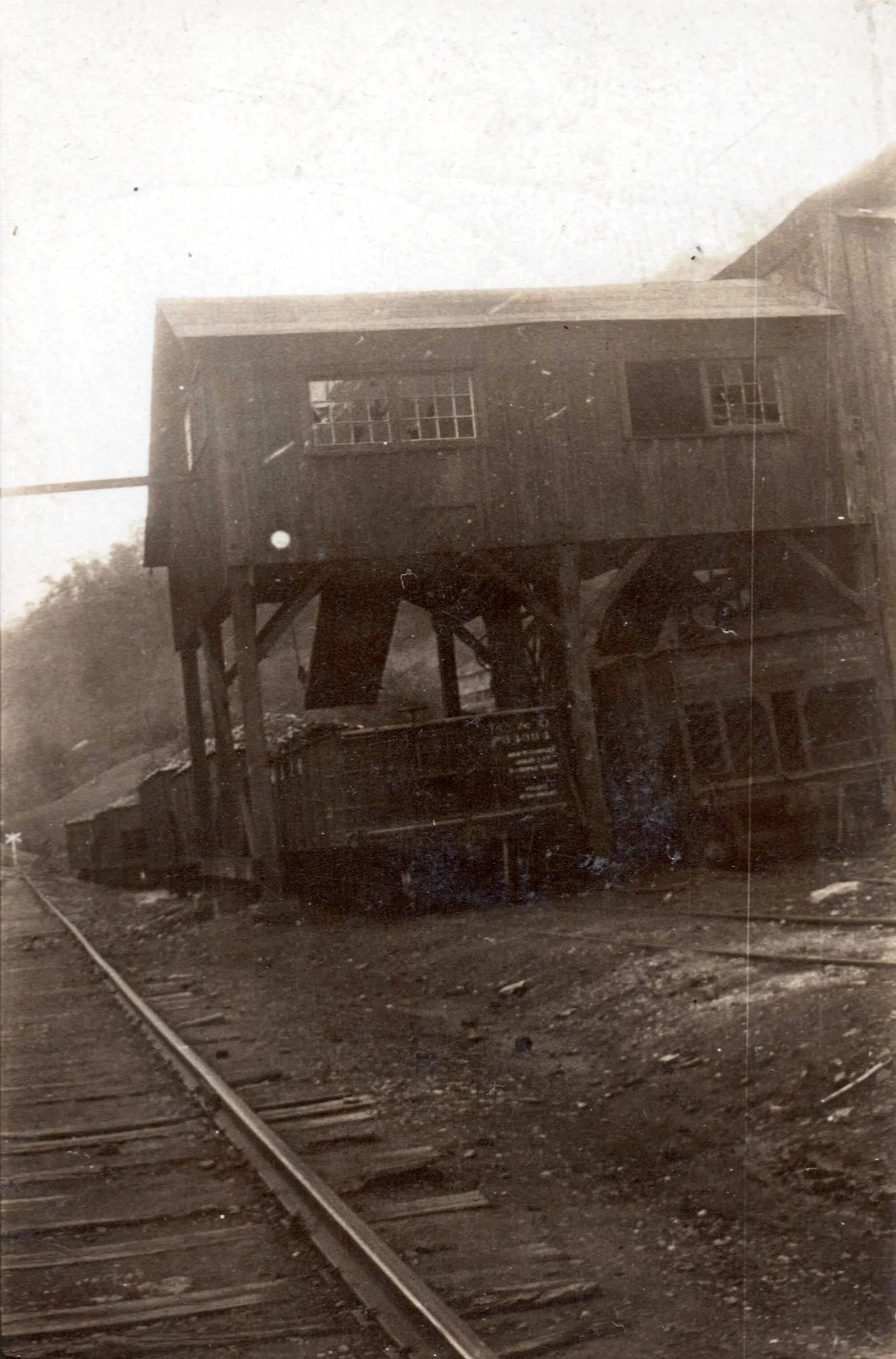
Pivot Rock Coal Co. mile post 0.8 [cohs 46367]
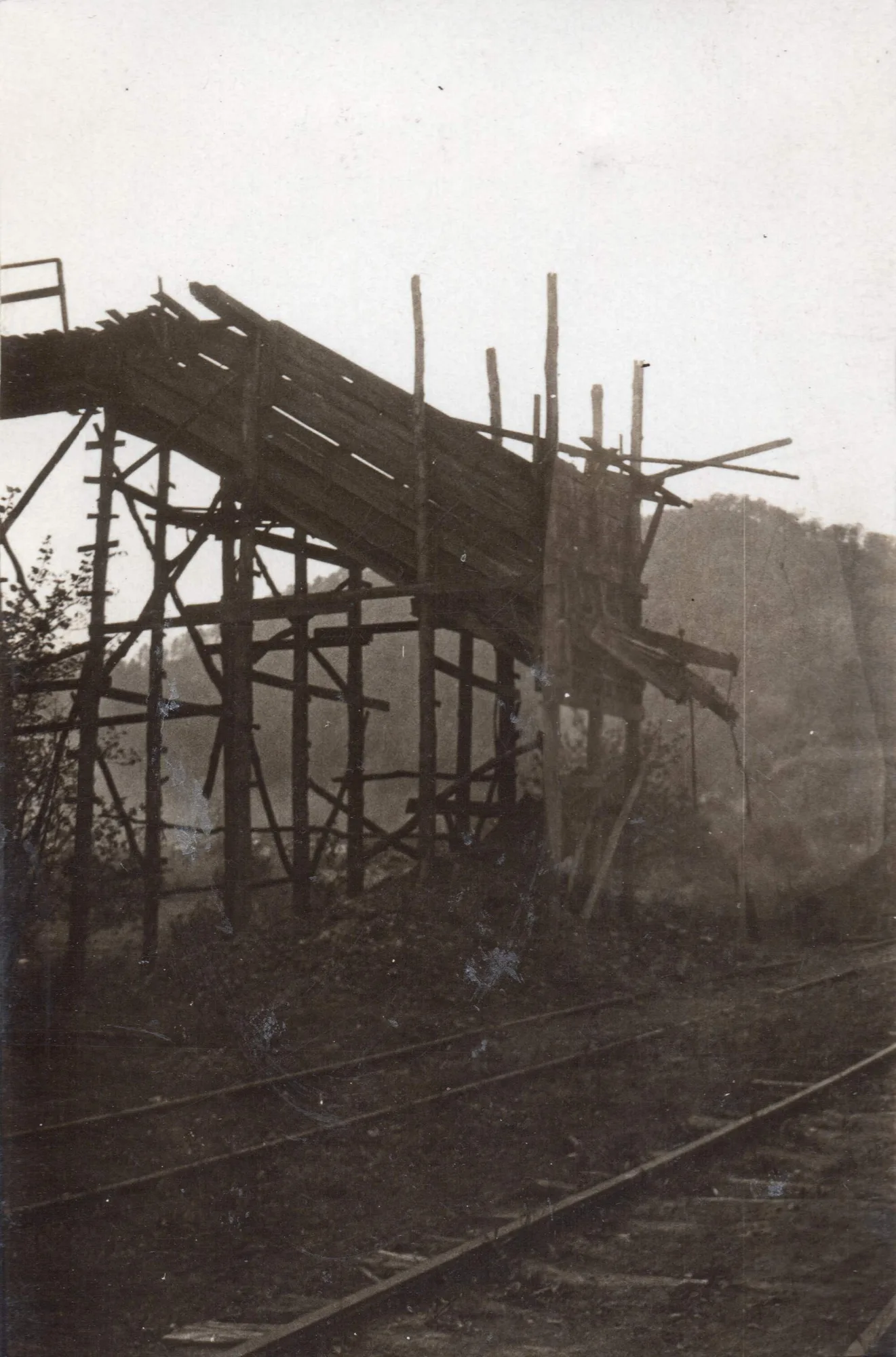
Old Hickory Coal Co. mile post 1.0 [Cohs 46368]
____________________
Salisbury Sub-Division/Long Fork RR
___________________________________________
Jump
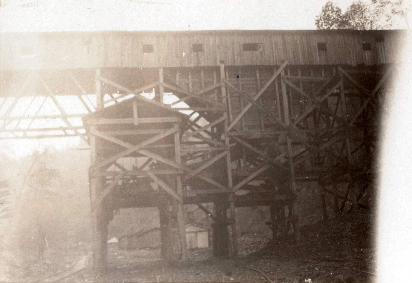
Stumbo Elkhorn Coal Co. mile post 5.9 [cohs 46373]
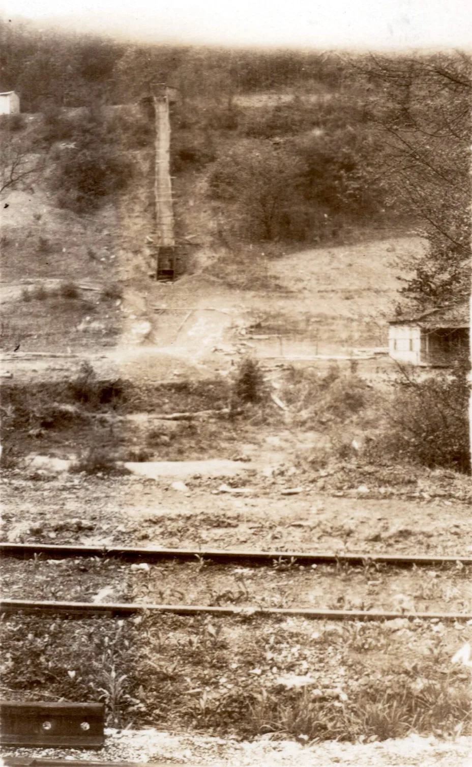
Beaver Collieries Company Mine #1, mile post 6.1 [cohs 46374] 1929
__________________________________________________________________________________
Drift
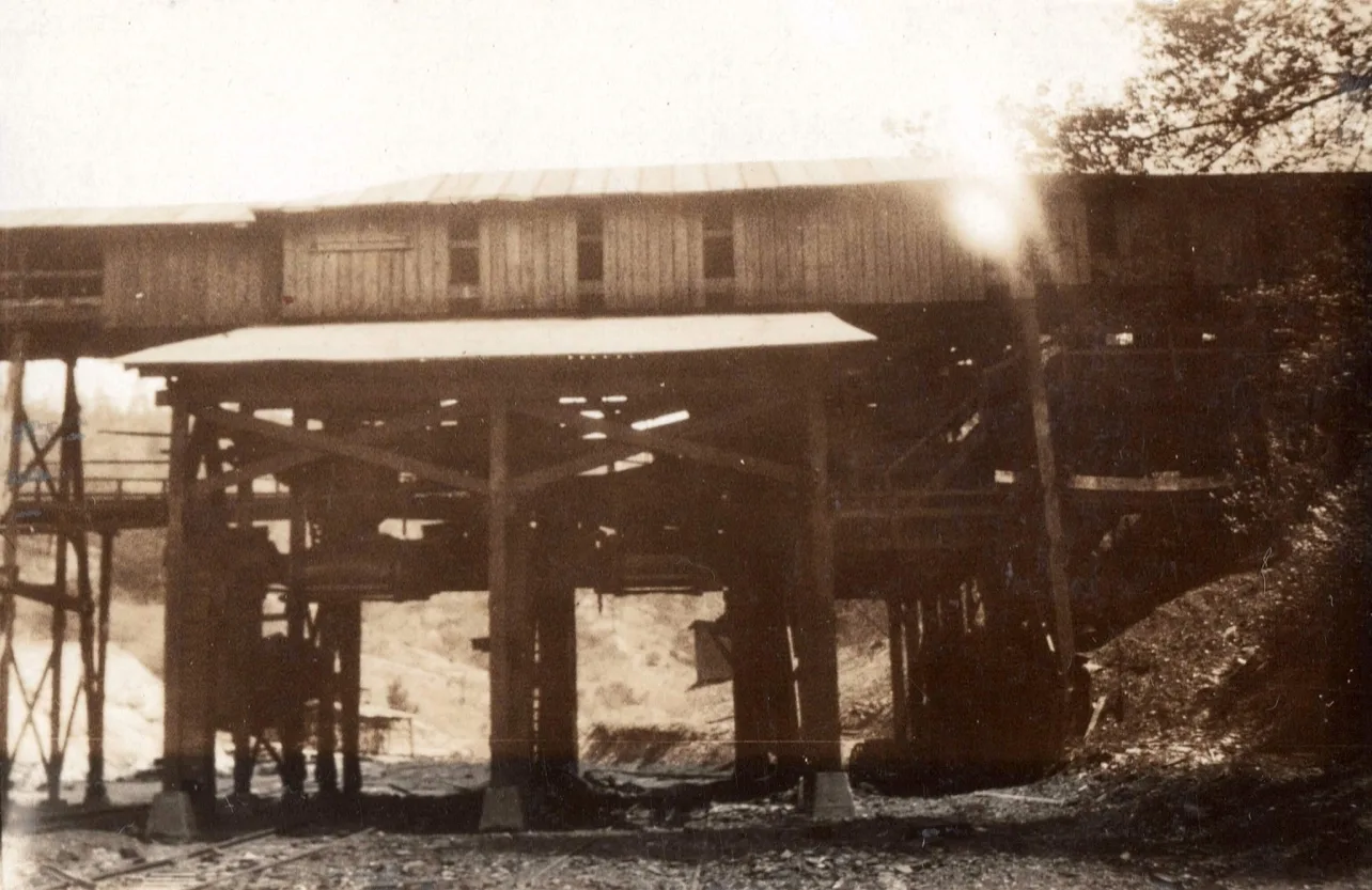
Wakenva Coal Corporation, mile post 7.2 [cohs 46376] 1929
Lane Siding
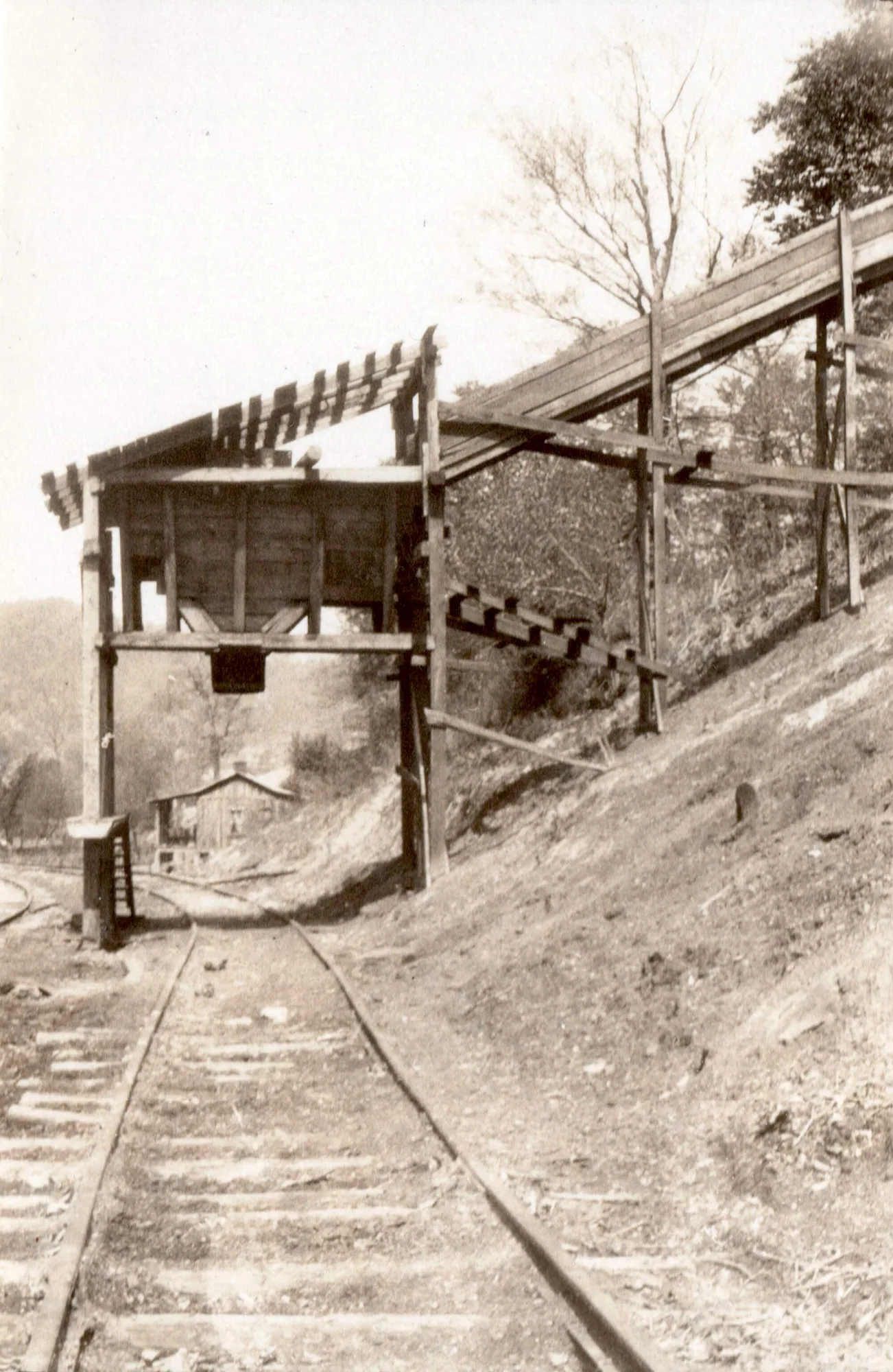
Barney Brother Elkhorn Coal Co. mile post 7.9 [cohs 46377] 1929
Sizemore Sub-Division/Long Fork RR
Gibson
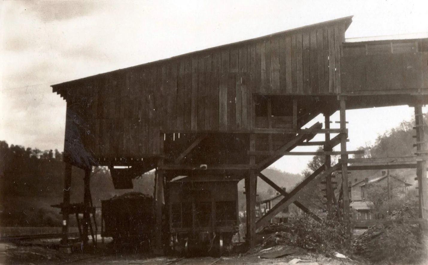
Edgemont Coal Co, mile post 8.5 [cohs-46378] 1929
McDowell
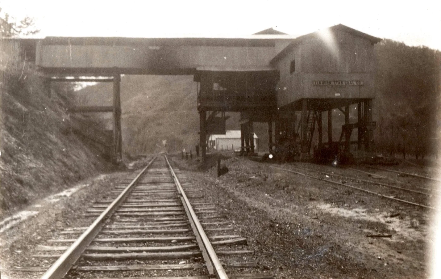
Elkhorn Star Coal Mining, Elk Star #2 Mine, mile post 9.0 [cohs-46379] 1929
Orkney
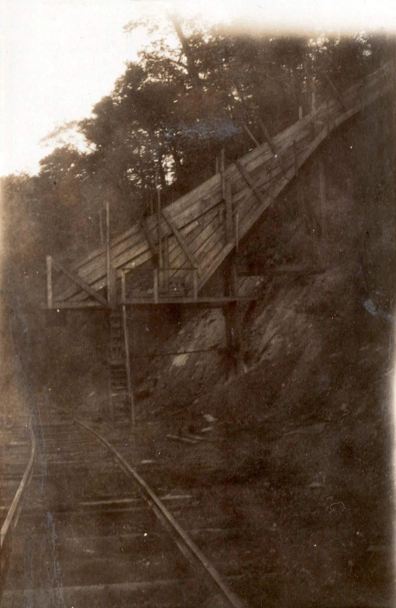
Liberty Elkhorn Coal Company, mile post11.1 [cohs-46381] 1929
Price
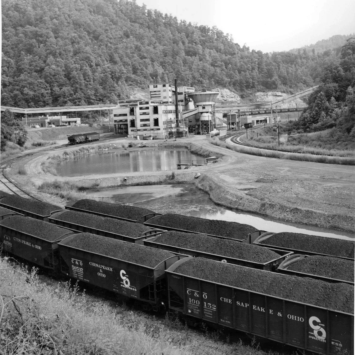
[cspr-3378]
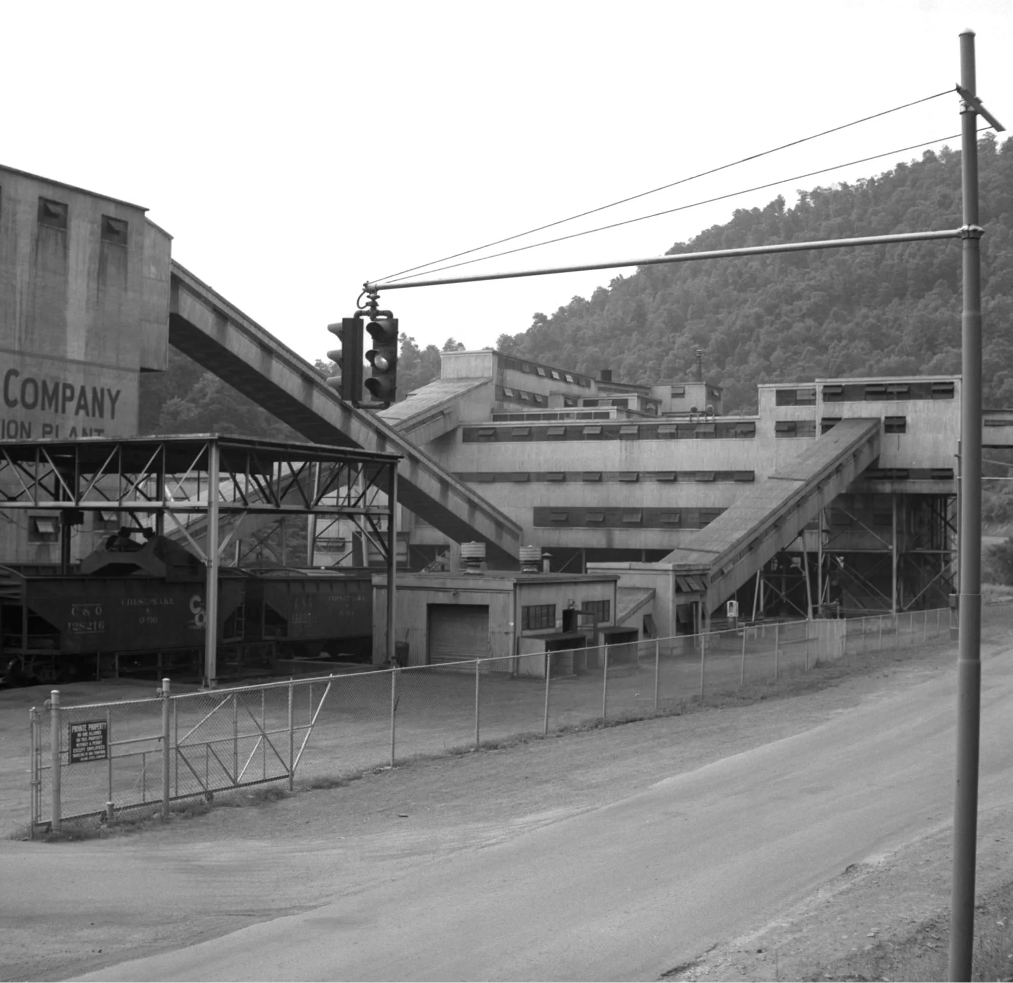
Clear Creek Sub-Division/Long Fork RR
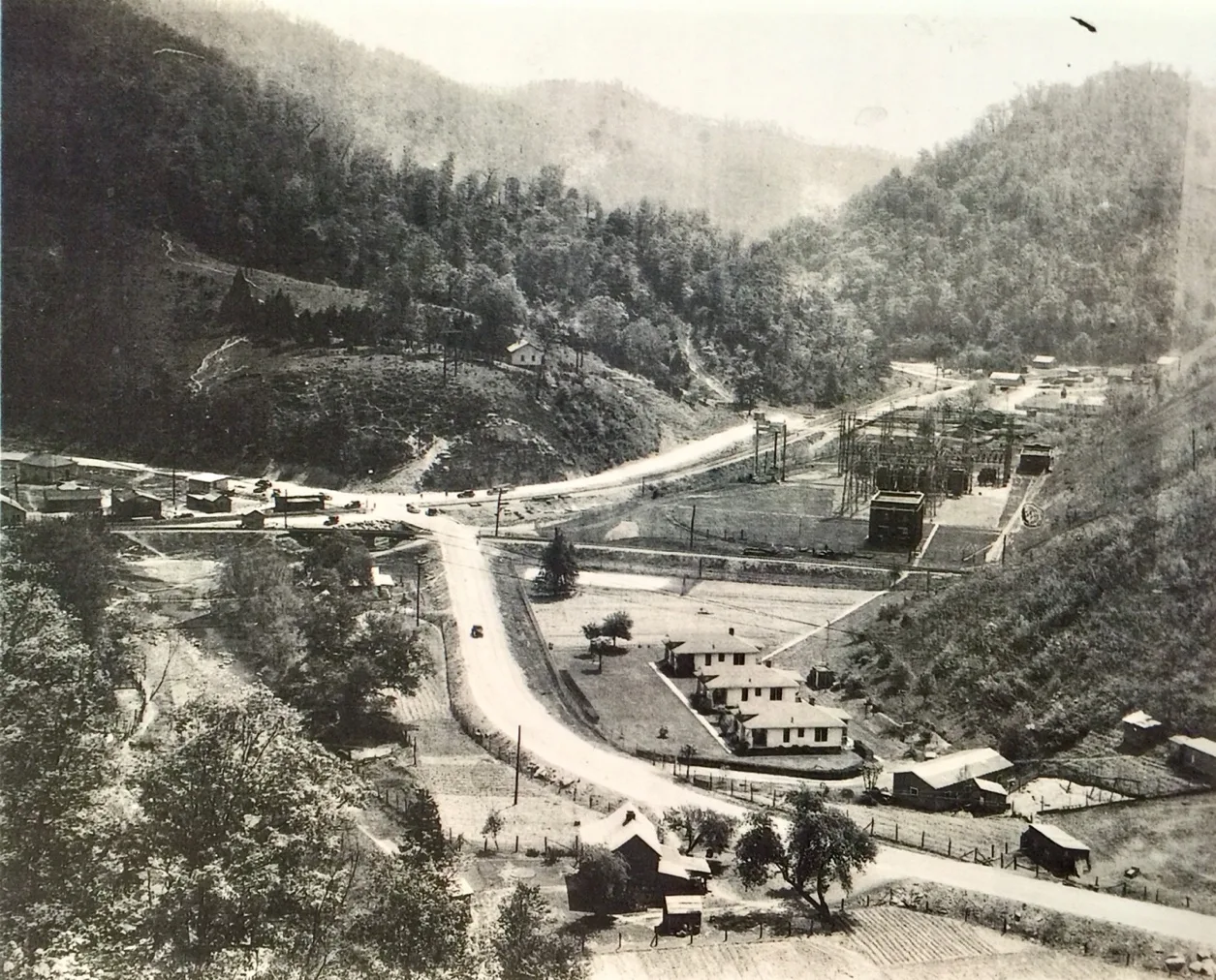
Hi Hat Siding
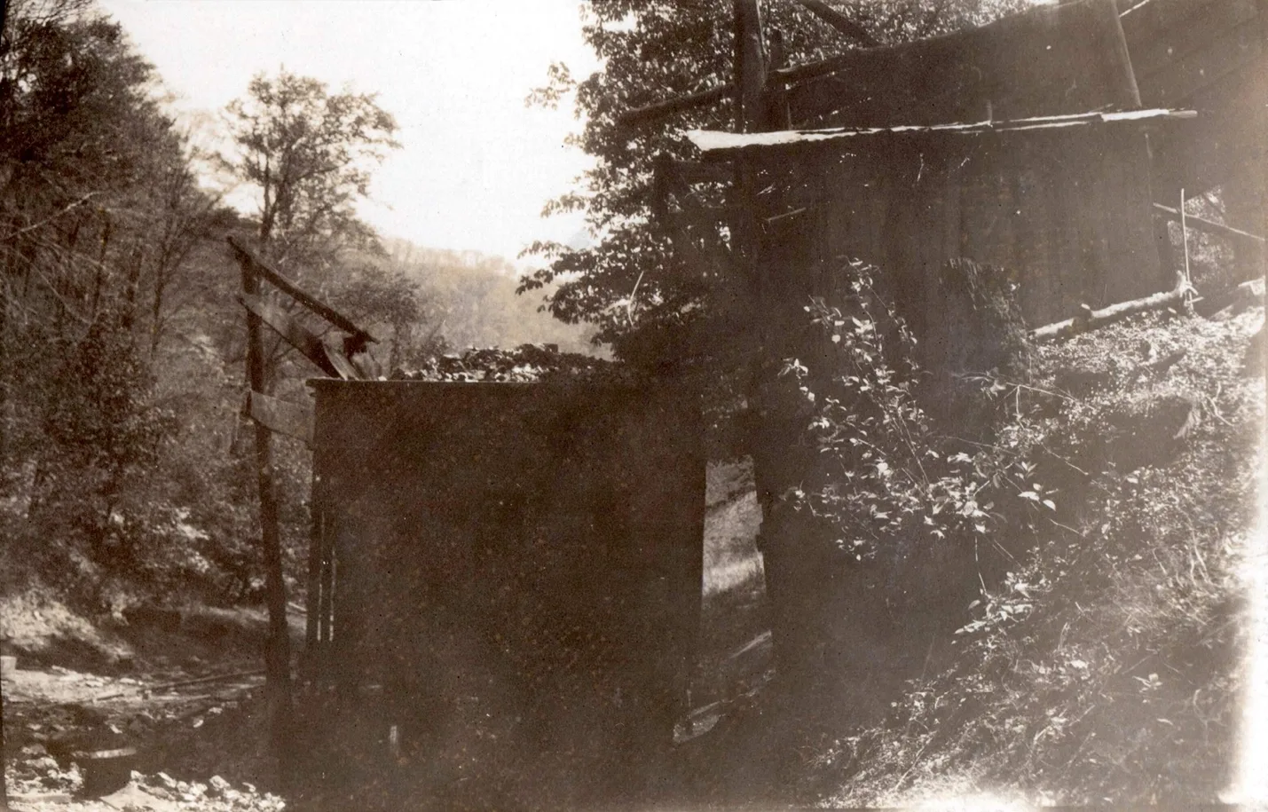
Squire Elkhorn Coal Company, 0.4-mile post [Cohs46364] 1929
Lambert
Ligon
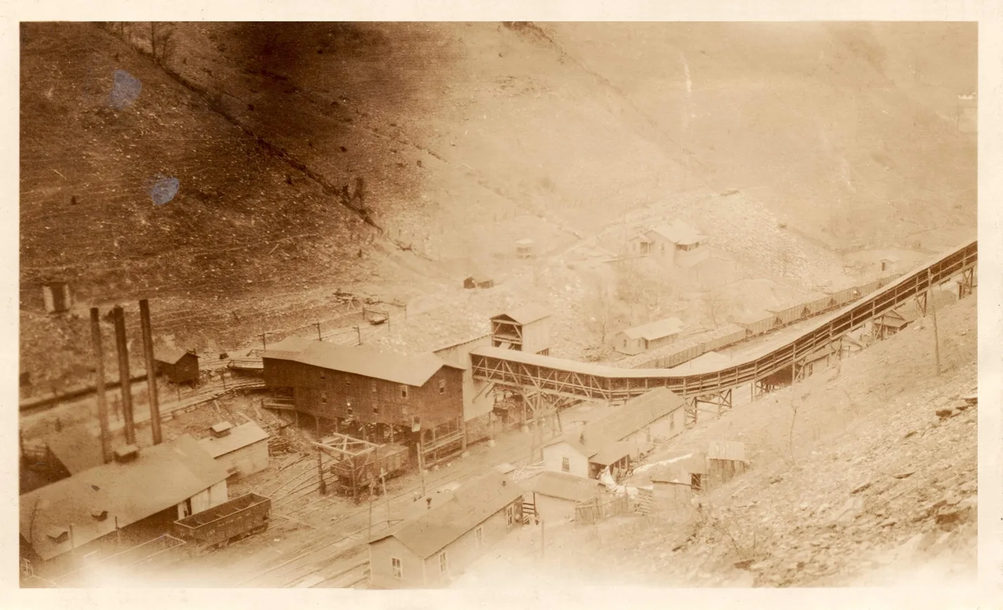
Elkhorn Block Coal Company, Ligon, Ky.
Main Office, Ashland, Ky.
F.L. Stewart, President; J.C. Hatcher, Vice President; J.W.M. Stewart, Secretary.
This mine is located at Ligon, Floyd County, Ky., on the Long Fork division B. & O. railroad about 15 miles from Martin to the Forks of Beaver Creek. They are working No. 3 Elkhorn seam of coal which is 60 inches thick; free from parting. This coal is mined by electric mining machines and hauled by electric motors and mine is ventilated by fans.
Buckingham
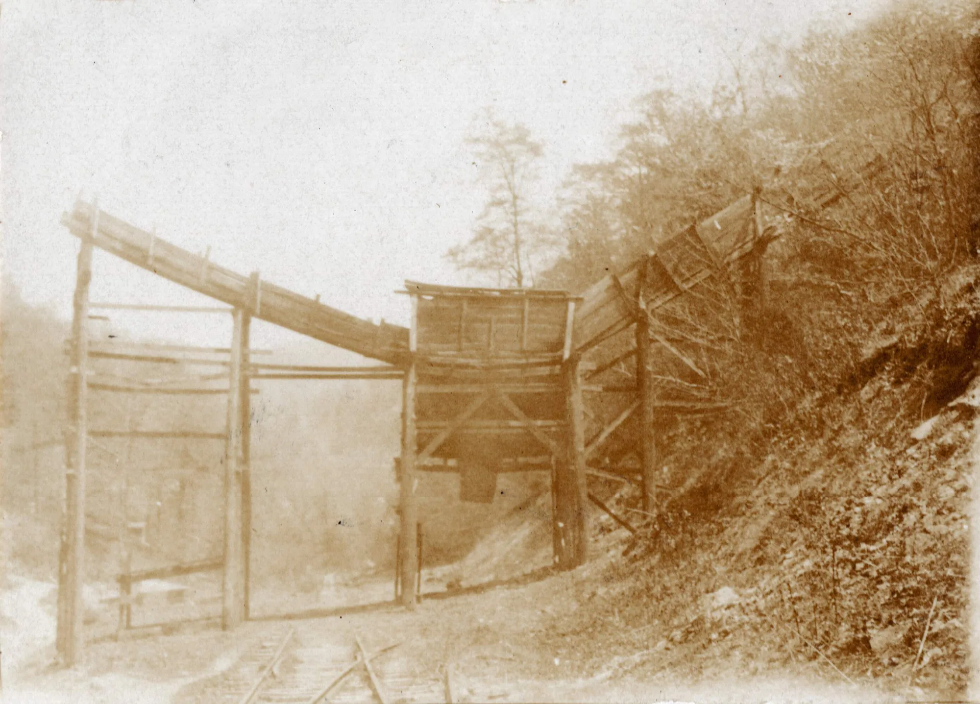
Beaver Elkhorn Coal Company, mile post 18.5 [cohs-46382] 1929
Jacks Creek Sub-Division/Long Fork RR
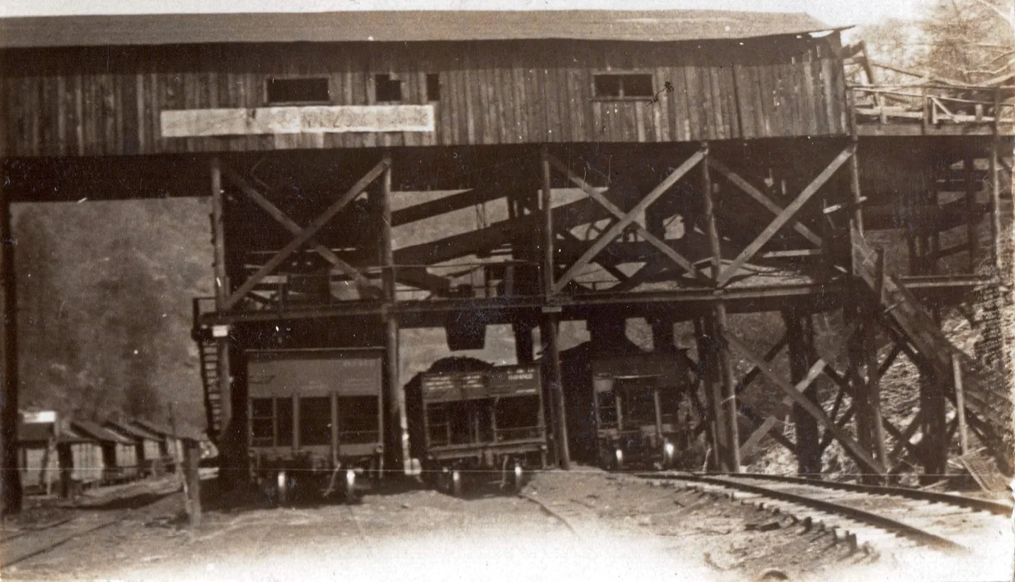
Jacks Creek Coal Company, Smallwood Mines, Mile post 1.4 [cohs46365] 1929
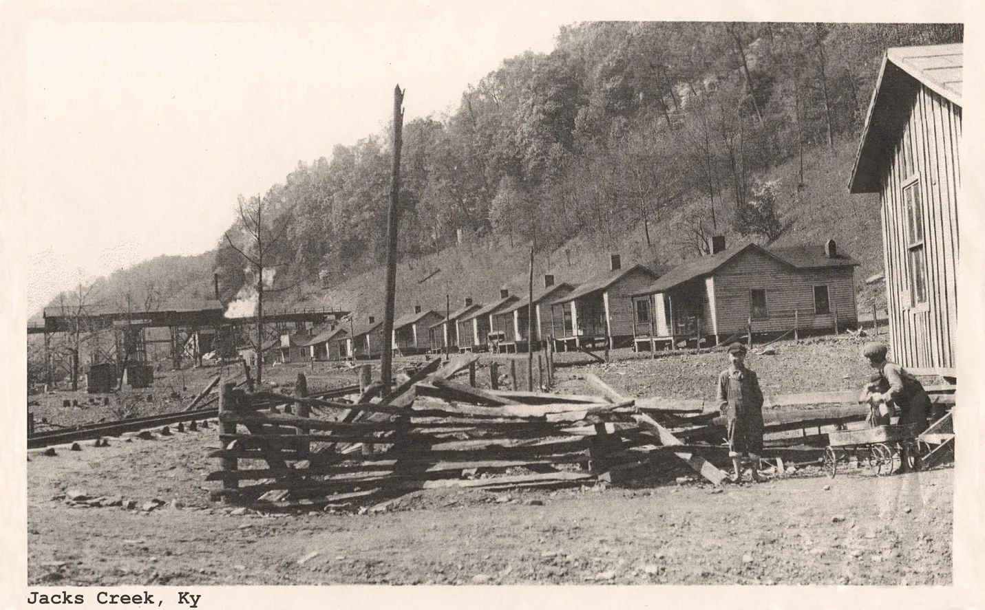
(cohs-43253)
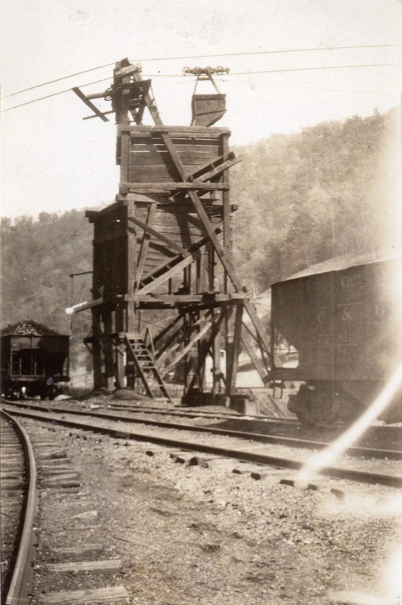
Superior Elkhorn Company, mile post 18.9 [cohs 46383] 1929
Burton
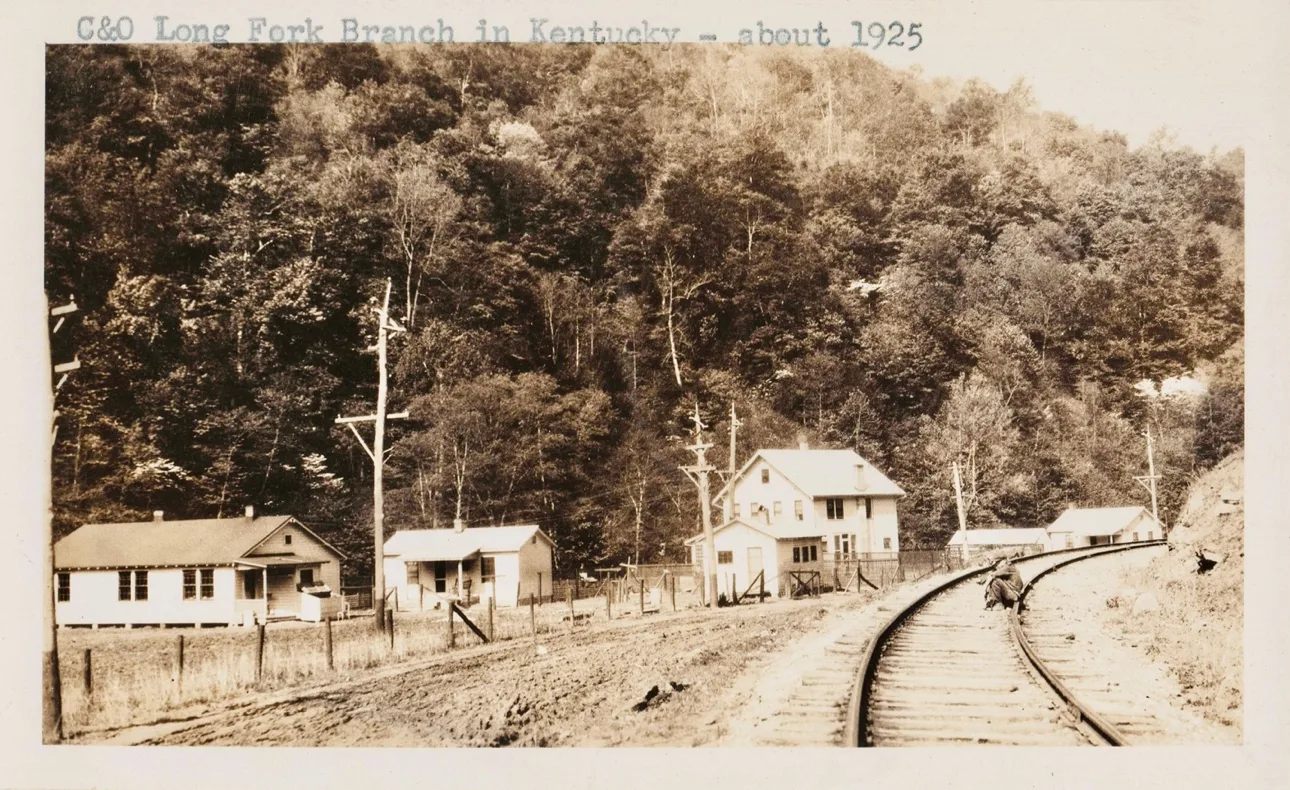
–
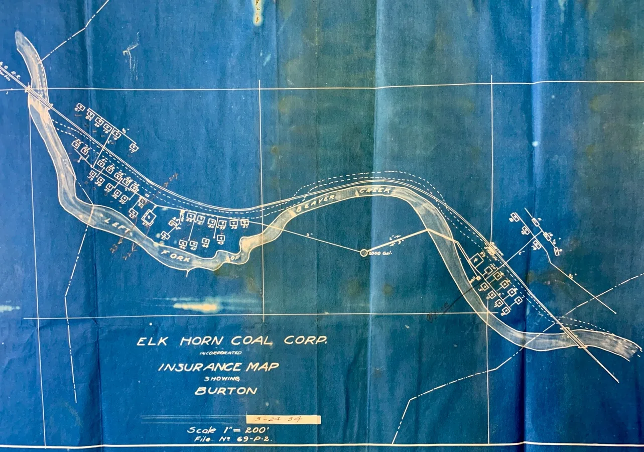
Miner’s housing
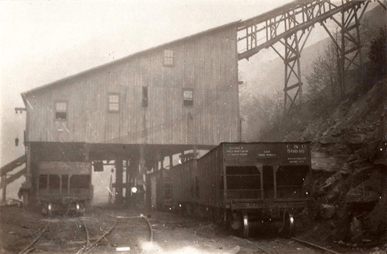
By-Product Coal Company, mile post 19.6 [ cohs-46384] 1929
Wheelwright Sub-Division / Long Fork RR
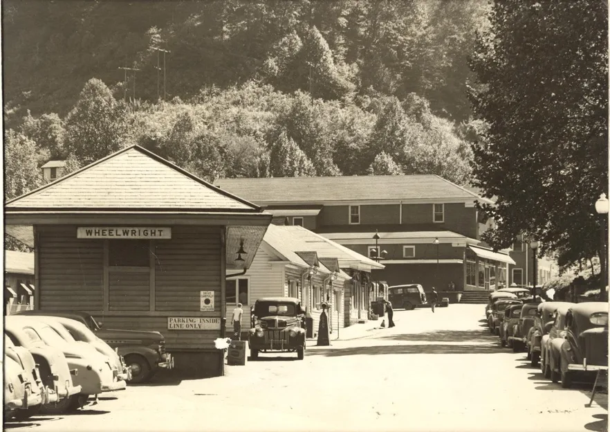
Wheelwright Depot, Danny Tackett Collection/ Pike County Historical Society
Baptism end of the line.
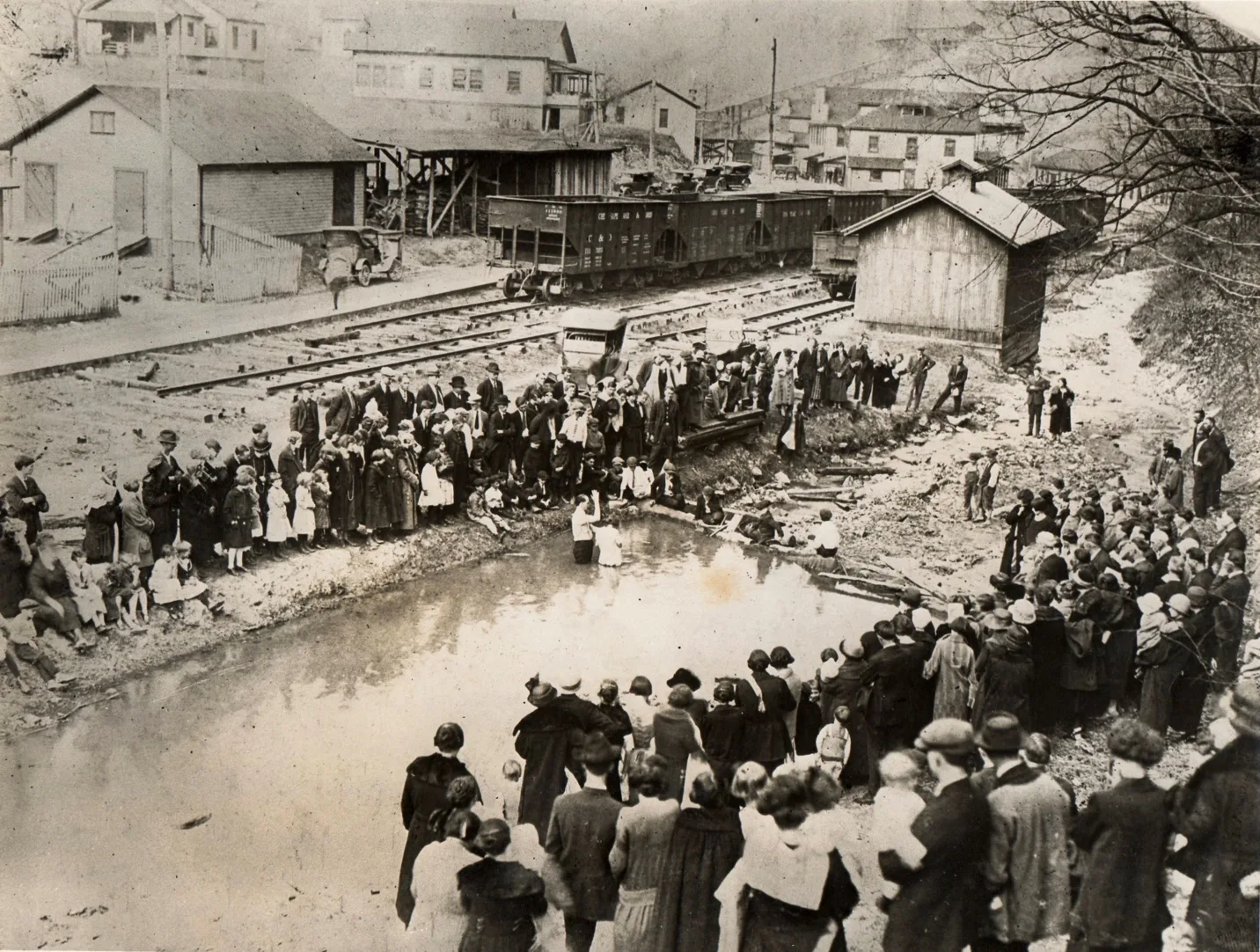
Wheelwright, Danny Tackett Collection/ Pike County Historical Society
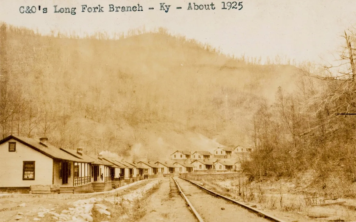
Elk Horn Coal Co. Mine 377, Mine 379n, Mine 380 & Mine 381
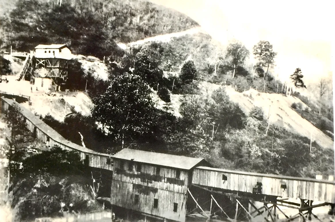
Otter Creek Tipple
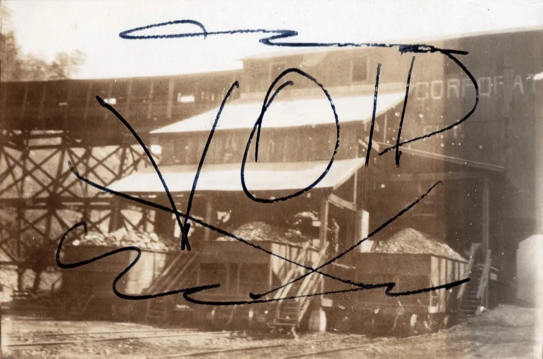
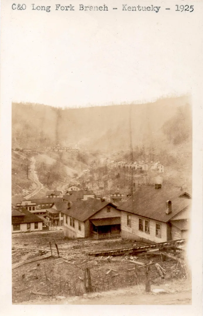
Wheelwright, (cohs-43263) 1925
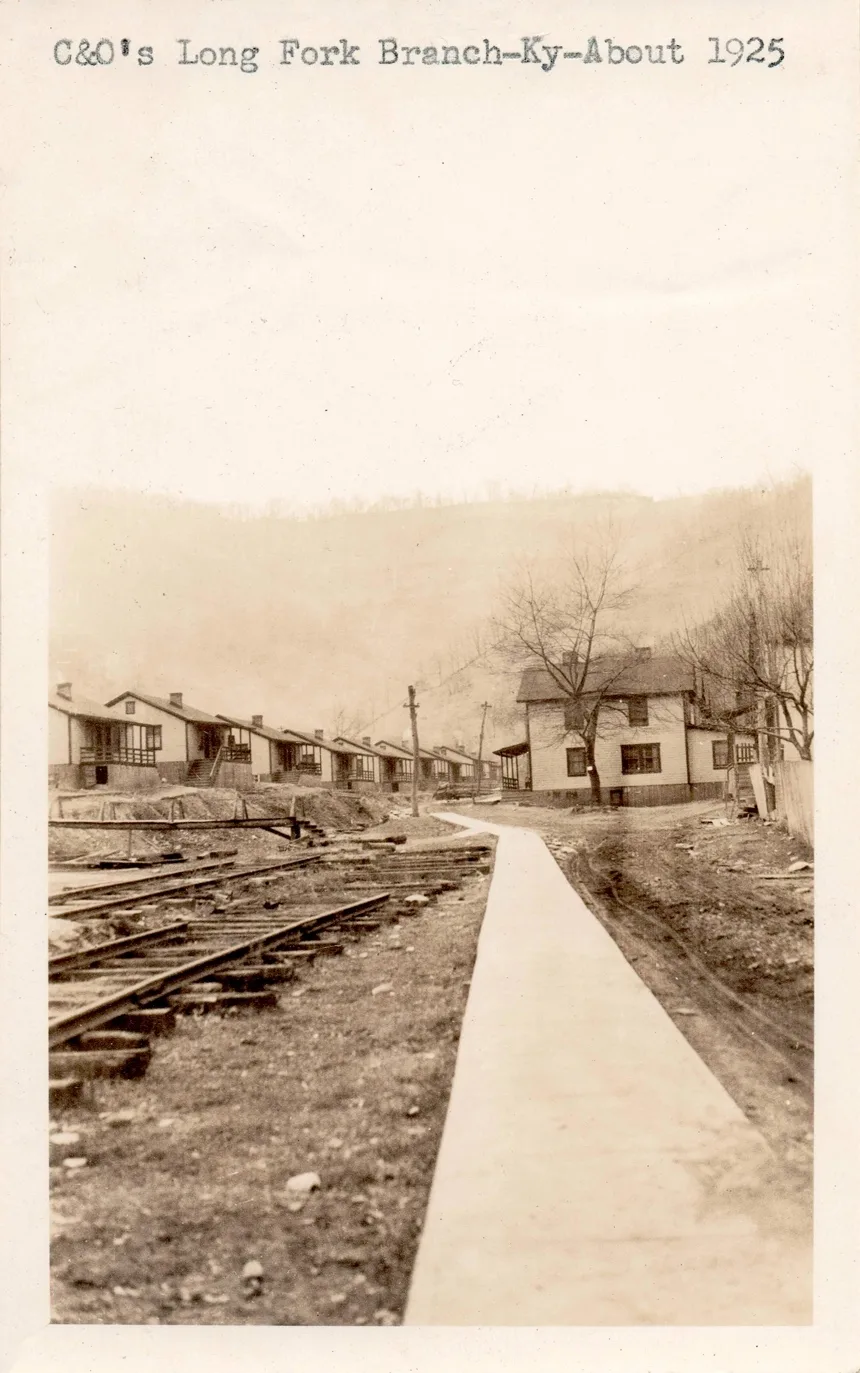
Wheelwright, end of the line Long Fork RR (cohs-43264) 1925
Lorane Elkhorn
Weeksbury
February 28, 1918, it was officially announced in Painstville Hearld new railroad opens coal field. Monday the Long Fork Railway the branch line of the B & O Railroad on Left Beaver Creek would be ready for operations March 1, and a passenger and freight service would be inaugurated on that date. This extension will open one of the richest coal deposits in the far-famed Big Sandy field. One of the largest coal companies with holdings there has anticipated the completion of the railway and has already mined 250,000 tons of high-grade coal. This the Milwaukee Coke & Coal Company. This coal was stacked close to the tracks, will be loaded by steam shovel as soon as the railway begins to accept freight.
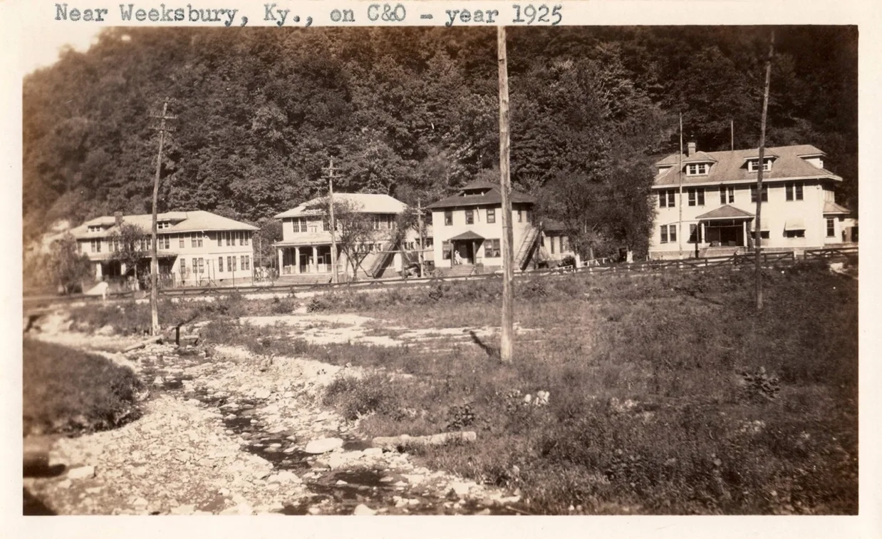
Caleb Fork Sub-Division/Long Fork RR
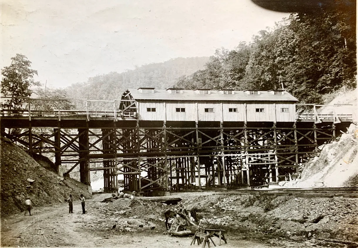
Elkhorn Piney Coal Mining Co. Mine #2, Mine #3, Mine # 5
Weeksbury Junction
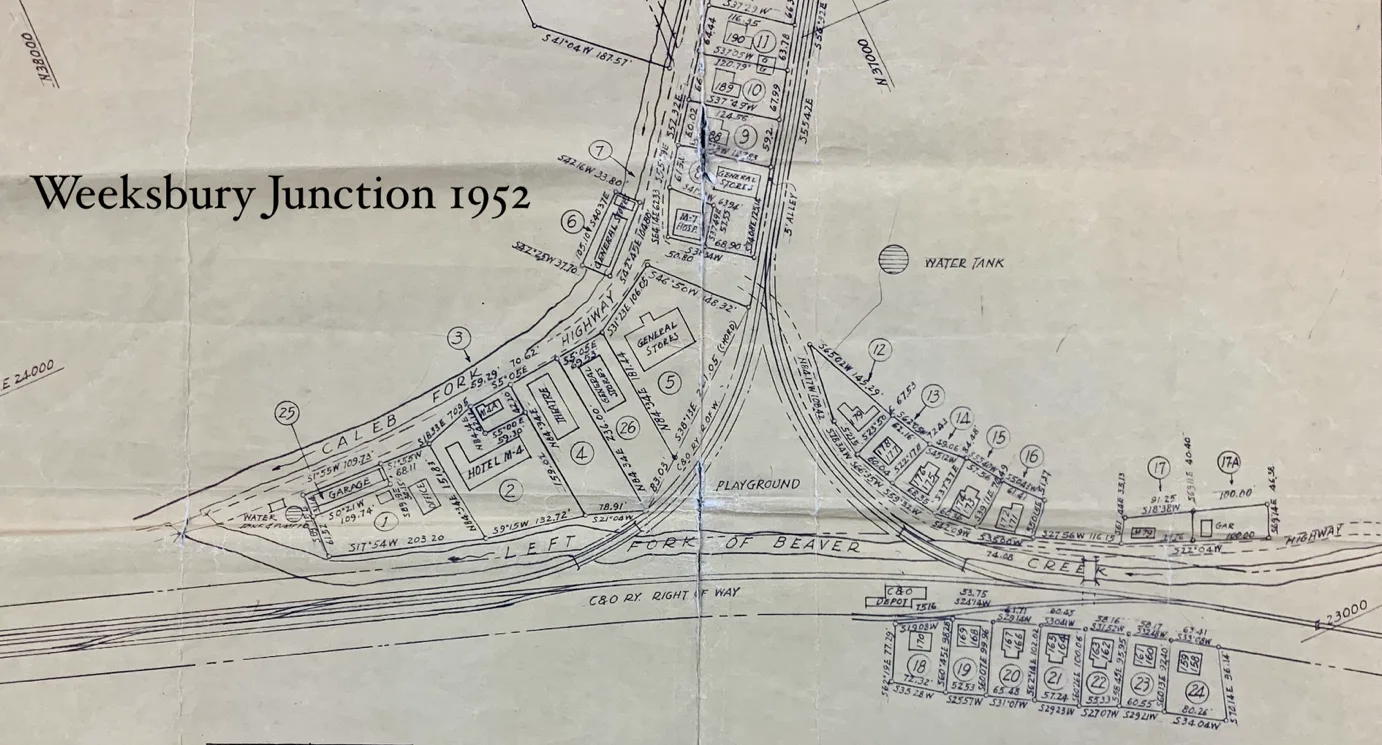
Weeksbury Junction
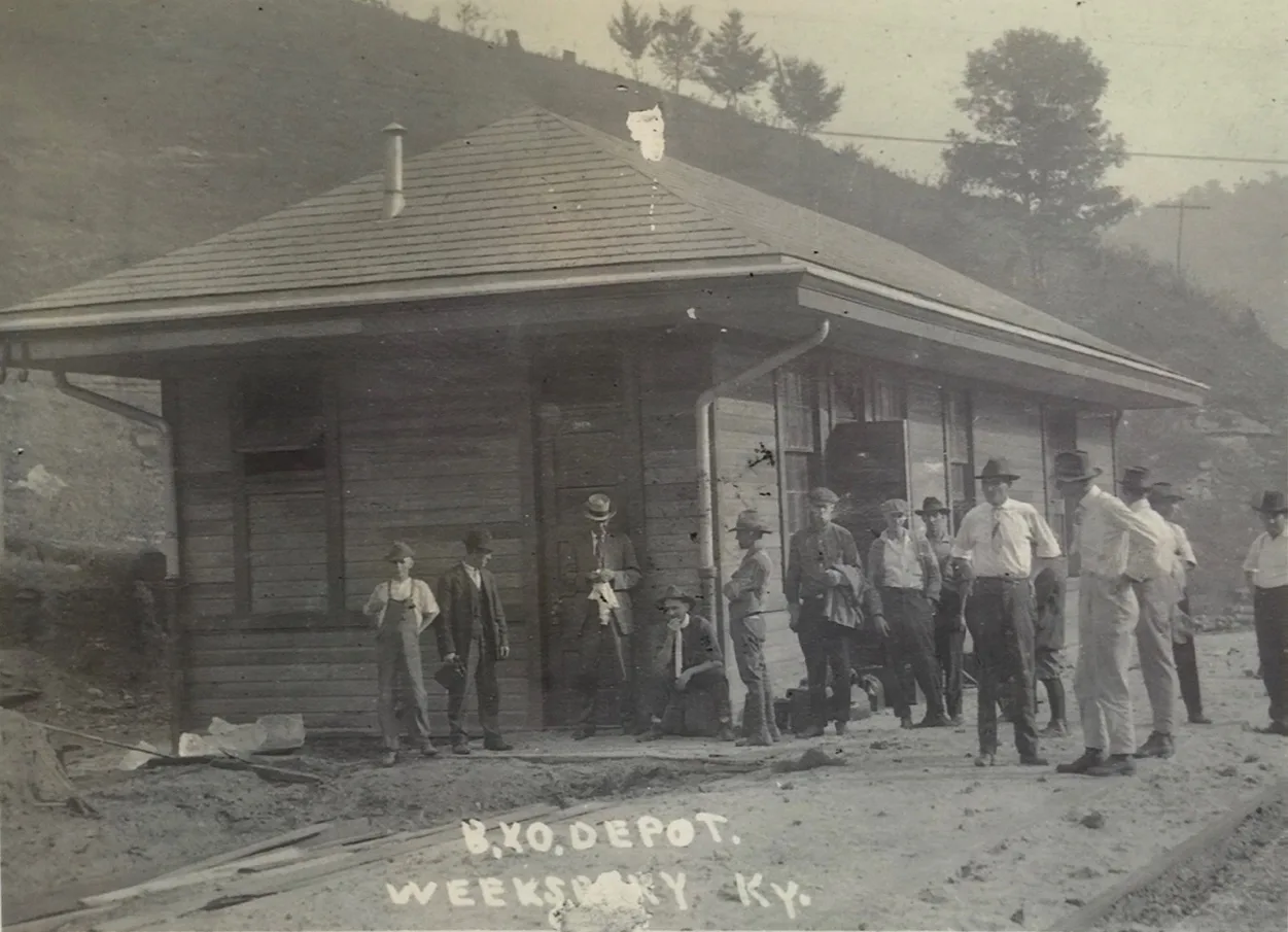
Before the mainline of the Long Fork Railroad was completed, the building No 6 Tipple at Elkhorn Piney Coal Mining.
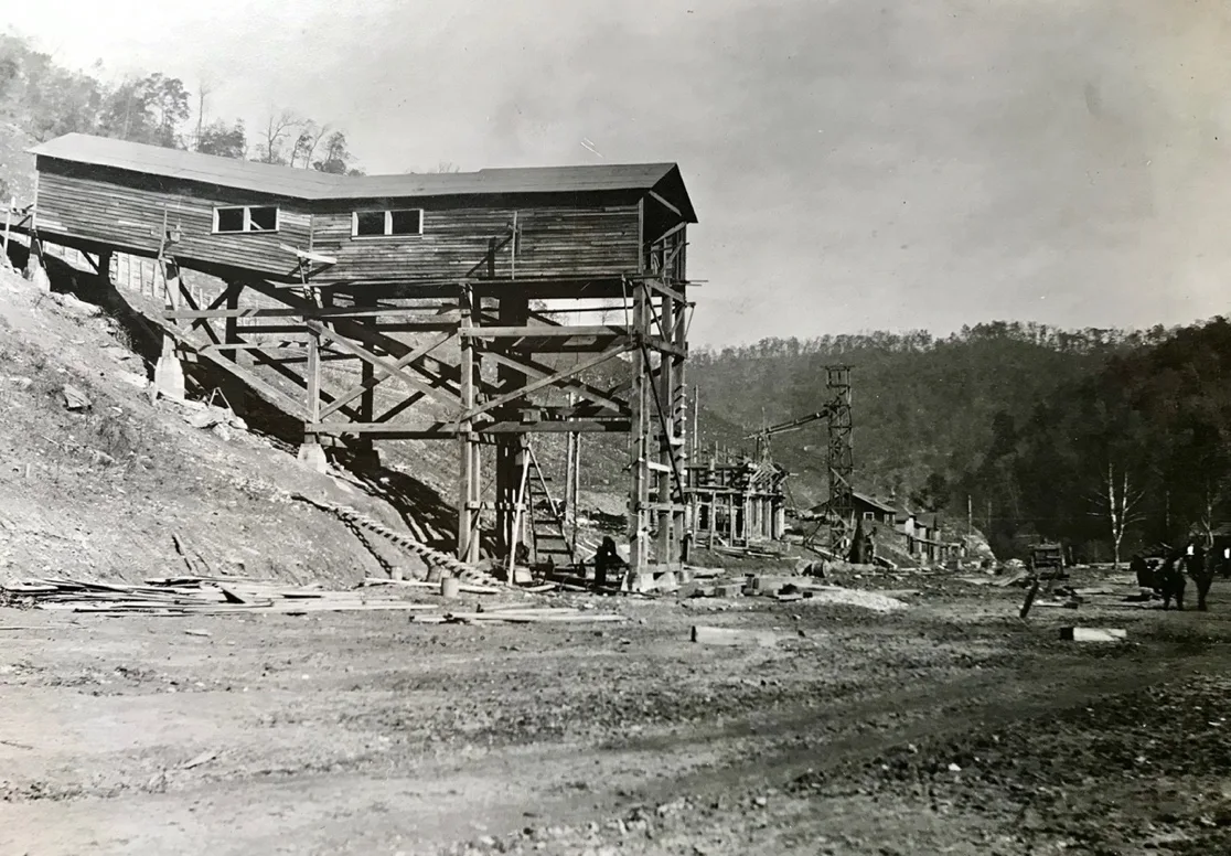
Elkorn Piney No. 6 1917
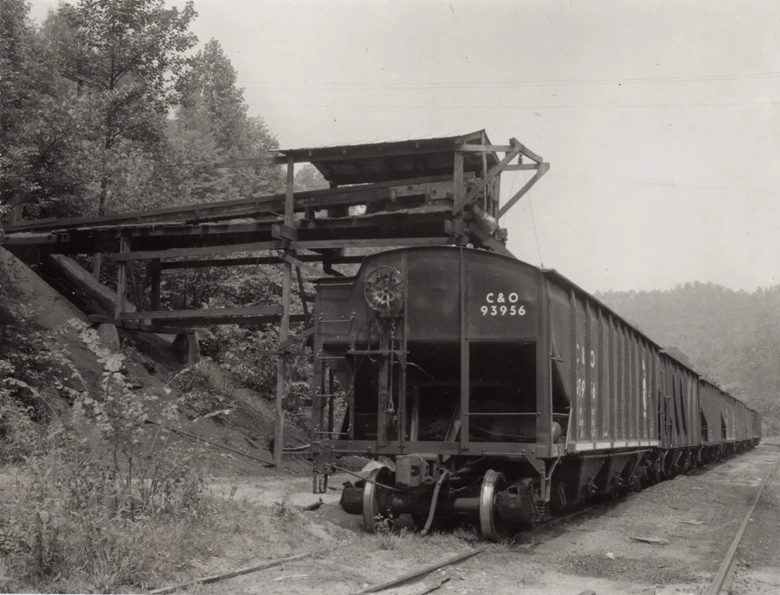
Peerless Elkhorn Coal Co. Weeksbury, Ky.
Peerless No 1 Mine mile post 23.5 of the Long Fork Railroad Sub-Divion [cohs 46387] 1955
Peerless Elkhorn Coal Co. 1955
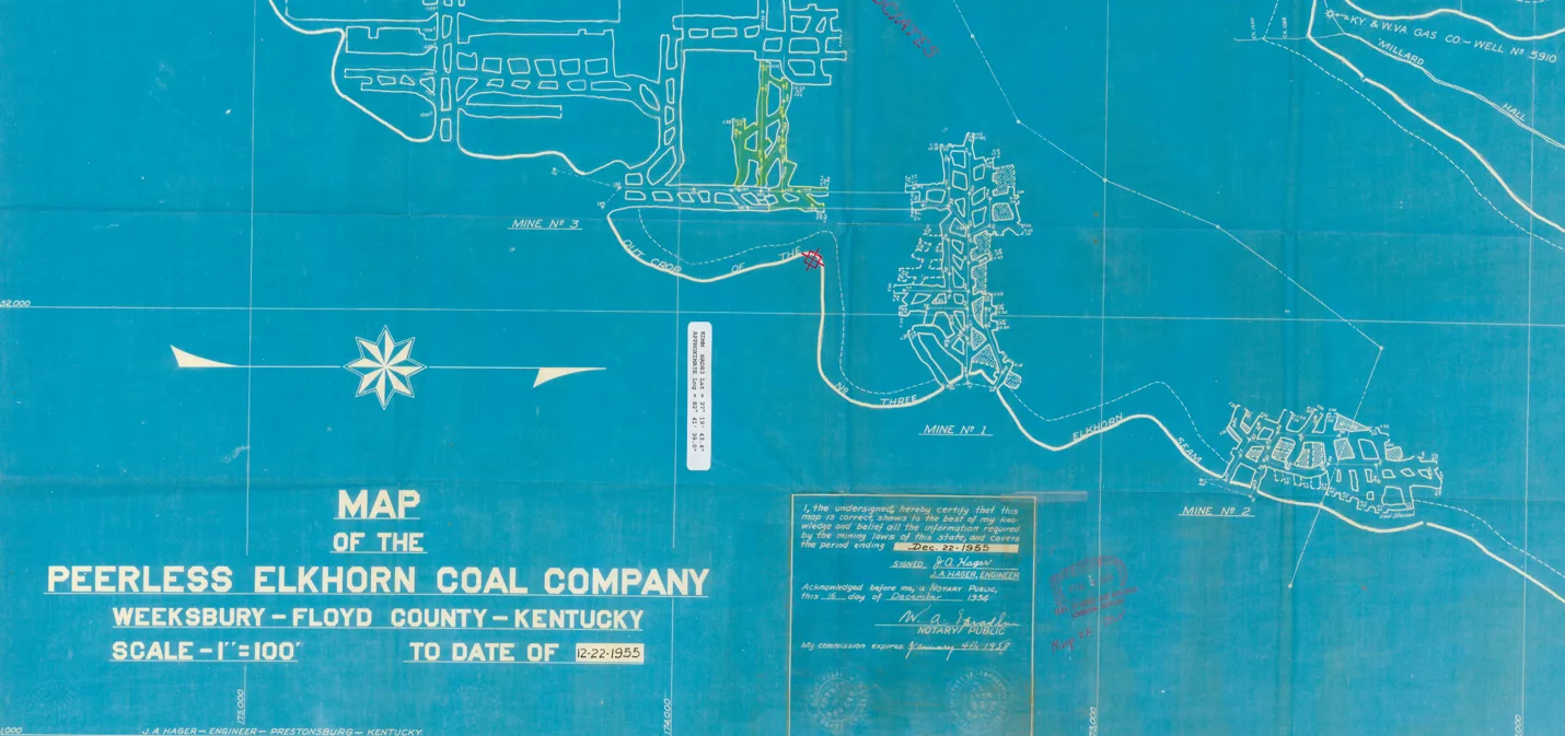
Traveling further along the branch, the Elkhorn Piney Mine #1 emerges as a significant landmark in the region’s coal history. Nestled among the wooded hills and served by its own small spur, this mine once thrummed with the daily activity of miners and coal cars making their way to the tipple. The mine’s operations not only fueled local industry but also supported a tight-knit community that grew around its grounds, echoing the rhythms of shift whistles and coal-laden trains.
Elkhorn Piney Mine #1 Tipple
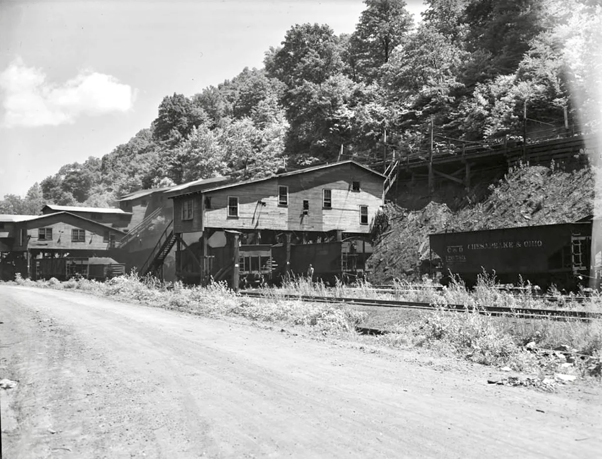
Weeksbury Mine No. 1 Tipple Crew
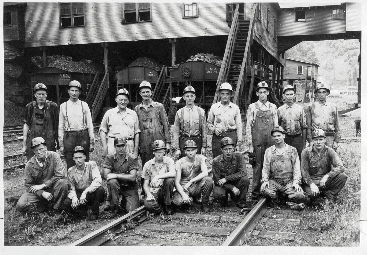
[Danny Tackett Collection/ Pike County Historical Society]
June 18, 1953, McDowell man buys Weeksbury operation as Eastern Gas & Fuel Associates just announced last week, that’s its withdrawing from Eastern Kentucky and permanently closing its Weeksbury operation. The Floyd County Times learned Wednesday that Weeksbury will continue to mine coal under new ownership. The equipment and leases of Eastern Gas & Fuel there has been purchased by Jake C. Cooley, of McDowell. June 30 was the date set by Eastern Gas & Fuel for its withdrawal, and Mr. Cooley will probably assume control of the operations at that time.
The holdings acquired by the McDowell man include approximately 1,000,000 tons of coal in the No. 3 Elkhorn seam and about the same tonnage in the Elkhorn No. 2 seam. The lease includes some of the best metallurgical coal in Eastern Kentucky.
Eastern Gas & Fuel will continue to operate its store and fountain at Weeksburv, it already has sold to miners and other residents of the town the homes built there by the company. Weeksbury is an incorporated town which at the 1950 census had a population of 1.146.
Although not highly mechanized, the Weeksbury operation normally employs about 250 men and produces around 900 tons of coal a day. In the days of peak production, it had almost 700 on its payroll and produced more than 3,000 tons a day.
Mining operations at Weeksbury began shipping coal after the completion of the Long Fork Railroad after December 1917 under ownership of the Milwaukee Coke & Gas Company and the mine was operated as the Elkhorn-Piney Coal Company.
The property was sold in 1928 to Eastern Gas & Fuel. Since the opening of the mine it has produced about 16,000,000 tons of coal from the leasehold procured from the Collins & Mayo Collieries Company and the Consolidation Coal Company.
[Floyd County Times, June 18, 1953, p 1]
Now we return back to the mainline on Right Beaver Fork
Dinwood
Stephens Sub-Division/E&BVRR
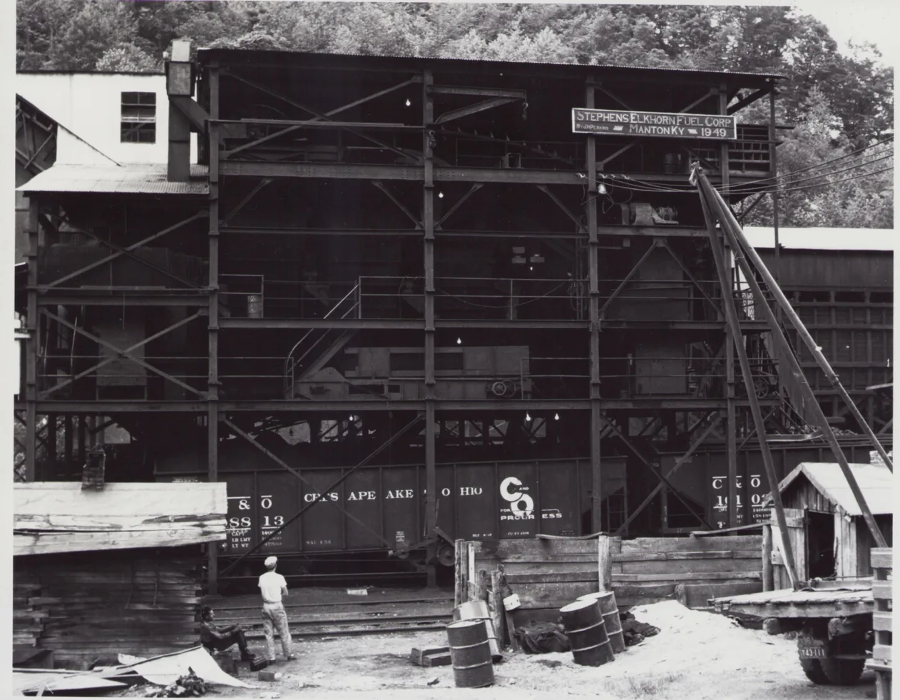
[Stephen Elkhorn, CSRP 1949]
Marrs
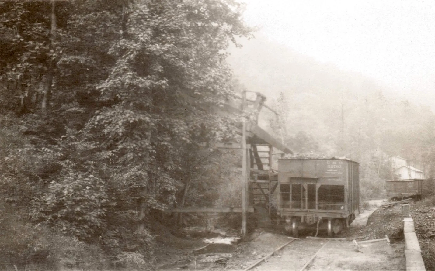
Bevins Coal Company, Crockett Mines mile post 0.9 [cohs 46344]
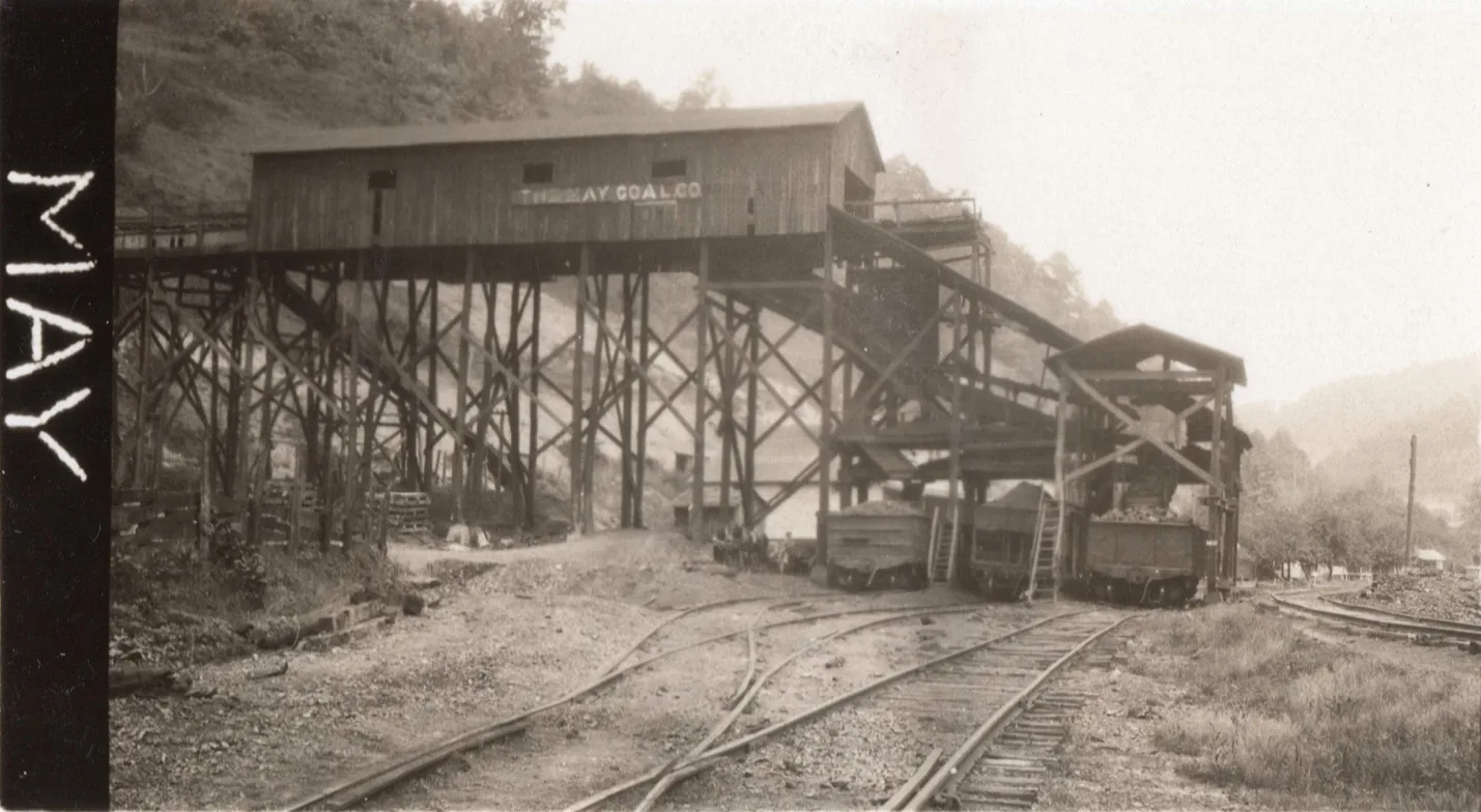
The May Coal Co. [cohs-46345] 1929
Warco
Maytown
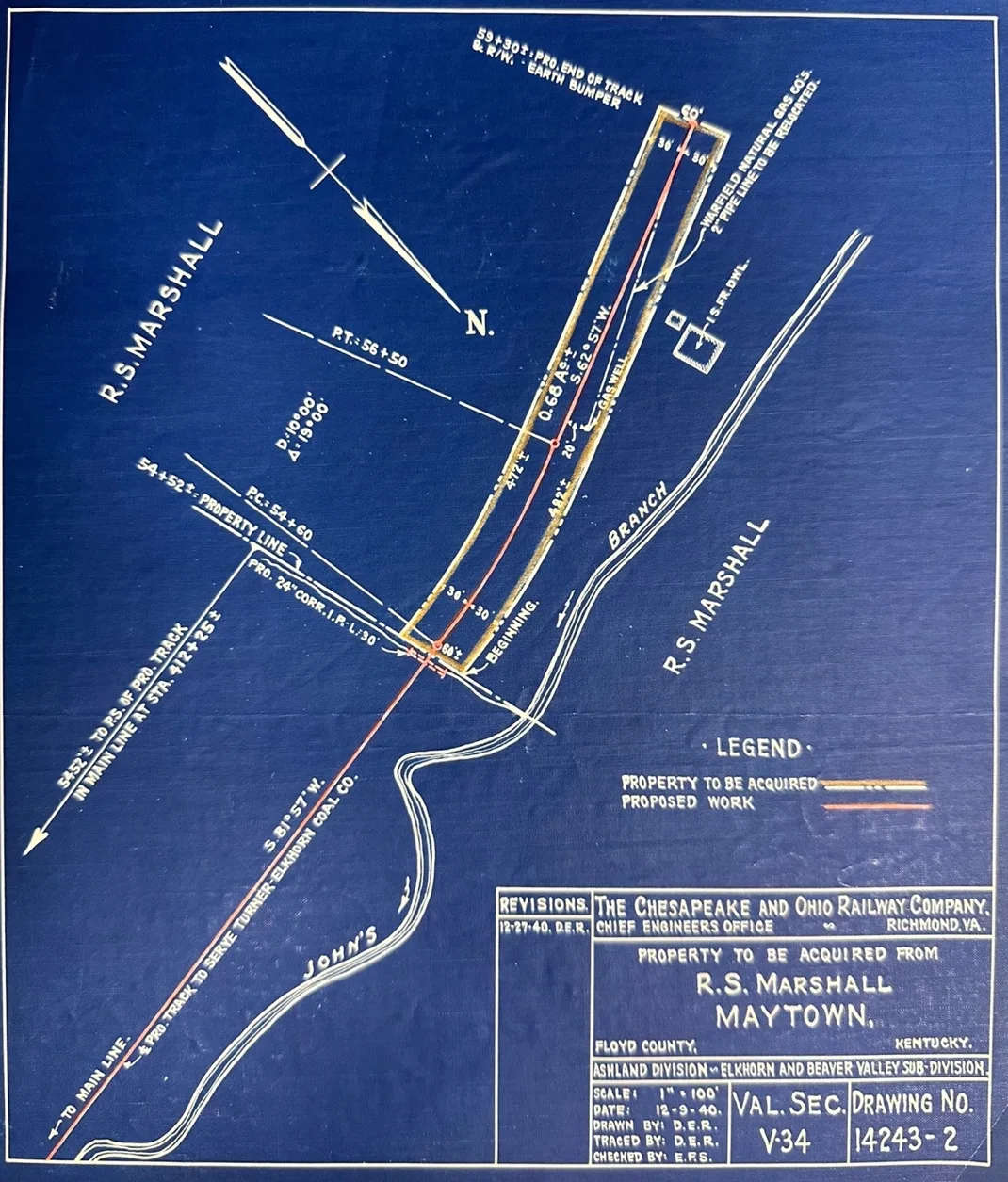
–
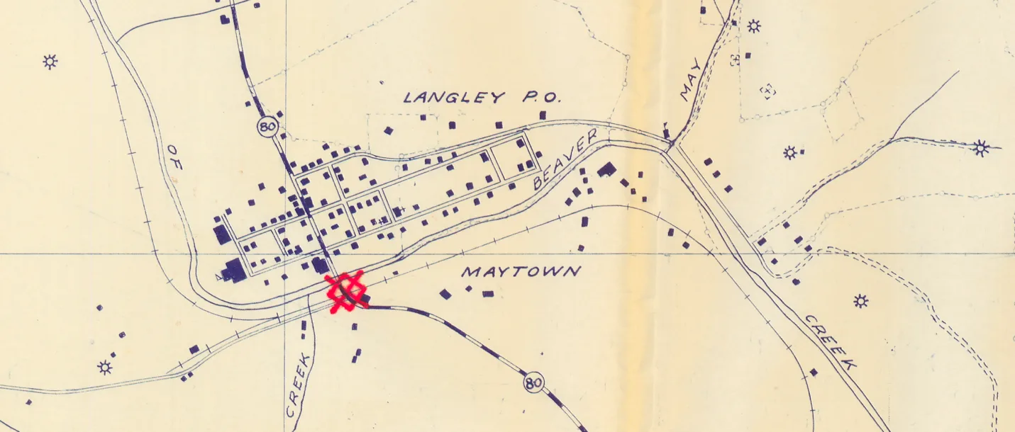
–
Osborne
Bosco (Northern Elkhorn Coal Co., Polly Mine)
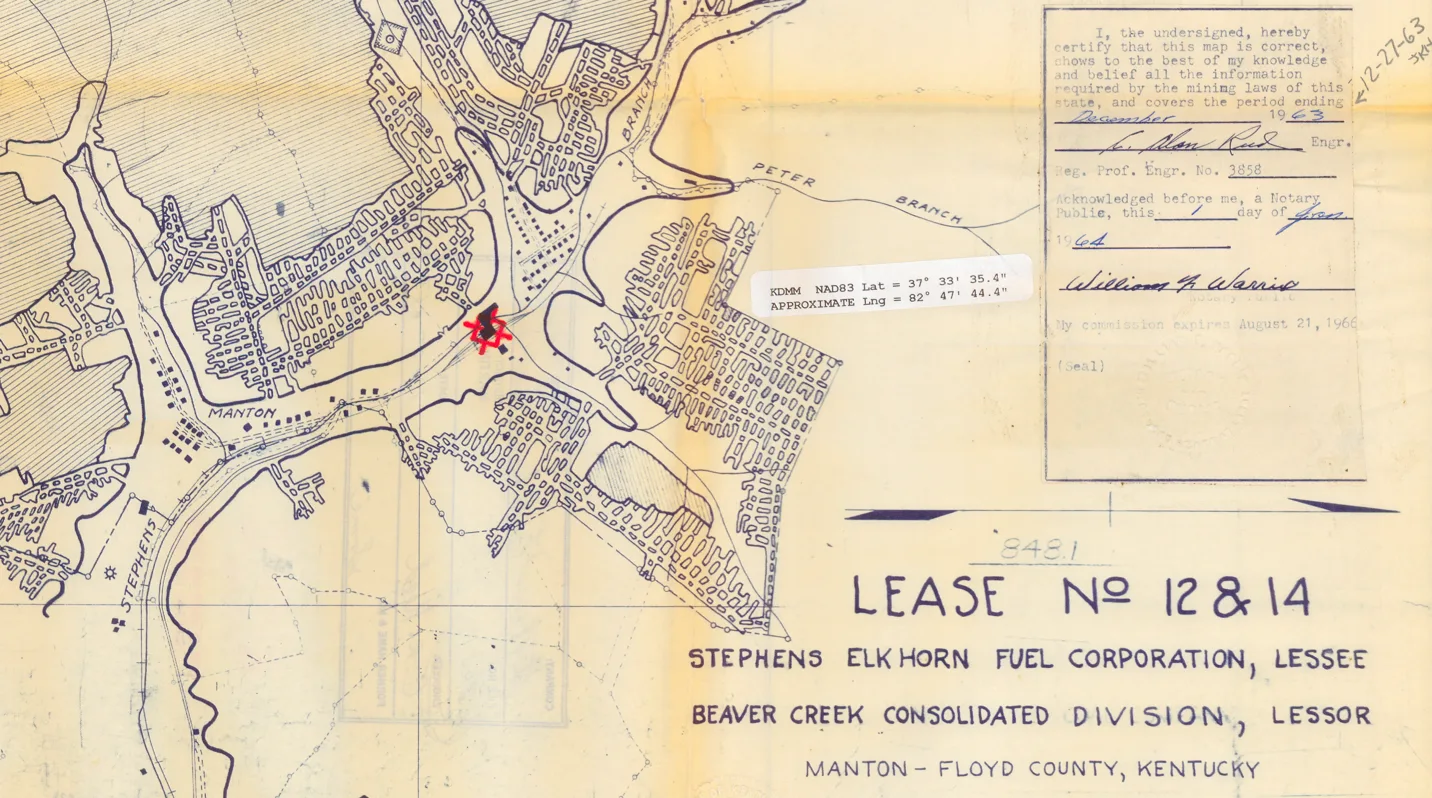
Superior Elkhorn Coal Superior Elkhorn Coal Co. (Georgia Mine)
Zella Mining Co. Holley Collieries
Porter Mining Co.
Garrett
Elk Horn Coal Co. 325
Elk Horn Coal Co. 326
Lackey
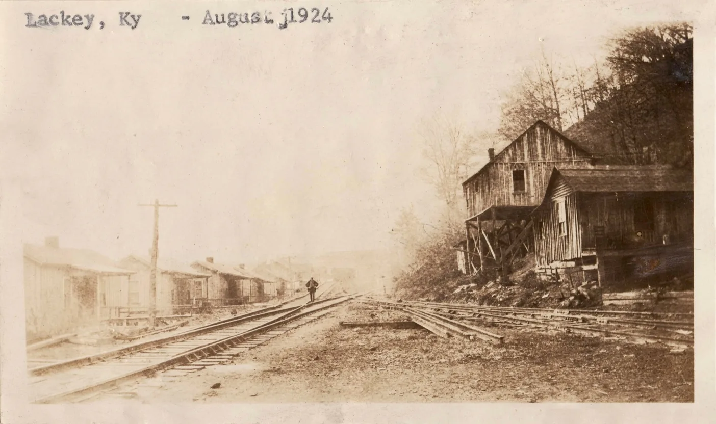
Lackey, mile-post 18.6 [cohs-43335]
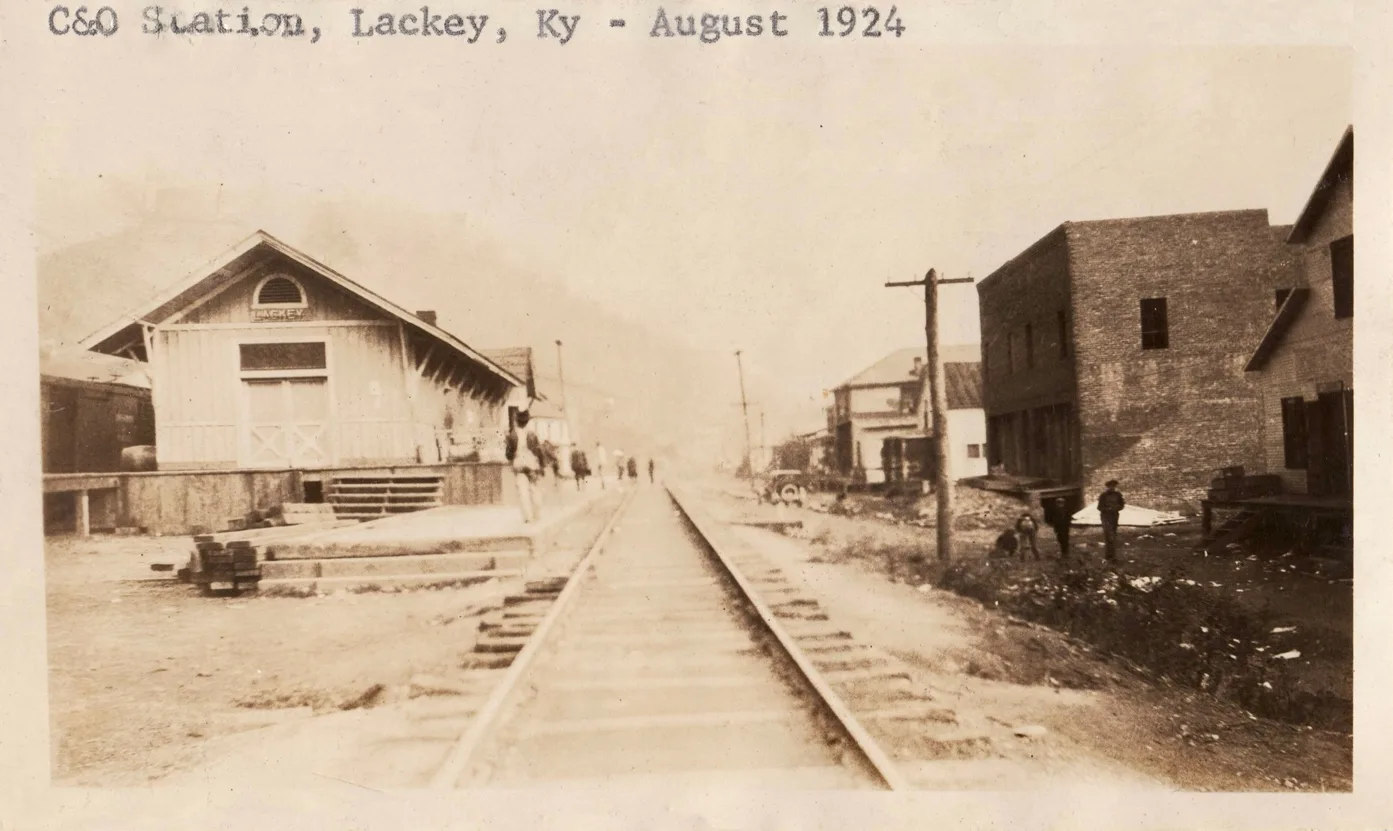
Lackey [cohs-43336]
Jones Fork Sub-Division
Railroad Extension Planned After Late Merger
Extension Of Beaver Valley Road on to Pippa Pass Was Urged
Extension of the C & O.’s Elkhorn & Beaver Valley Railroad from Wayland to the Caney Creek Community Centre at Pippa Pass, Knott County, is proposed in development plans of the Elkhorn Utilities Company following purchase and merger by them of nine coal mines and four reserve coal tracts in Floyd, Pike and Knott counties, it was learned from an authentic source last week.
In addition to the seven coal mines and three reserve coal tracts purchased a month ago, the Elkhorn Utilities Company last week added the Lackey Mining Company’s property and 4,000 acres of virgin coal lands on Caney Creek, Knott County, to its extensive holdings. Mines now in possession of the company include Varney No. 1 at Garrett, Varney No. 2 at Bosco, Beaver Mining Company at
Dinwood, Thornton Coal Company at Coleman, Rogers Bros. Coal Company at Virgie, and the Lackey Mining Company.
The 4,000 acres of coal land in Knott County was acquired from the Beaver Creek Consolidation Coal Corporation and contains a vein of virgin coal seven feet in thickness, it is said, the tract lies in the neighborhood of the Caney Creek Community Centre at Pippa Pass. It the Beaver Valley railroad is extended to Pippa Pass it will be the first railroad to enter Knott County. The development program also includes the construction of seventy homes at Bosco.
The Elkhorn Utilities Company, it is understood, is a subsidiary of the Utilities Light & Power Corporation, one of the Samuel Insull utility interests of Chicago.
[The Daily News, September 6, 1928, page 1]
_
Steady operation of the mines of this company is held fairly certain because of the contract which the company_ has with an allied concern, the Utilities Power & Light Corporation, for the production of 590,000 tons of coal annually for twenty years at a market price which, it is said, will net the operating company $1.75 per ton.
Purchase of the Porter Mining Company property on Jones fork, Knott County, was recently made by the Wells-Elkhorn Coal Company, it was also learned last week.
Work of repairing and reopening the mines recently acquired is expected to be commenced with concentrated vigor. [The Daily News, September 6, 1928, page 1]
[Big Sandy News, January 1, 1928]
Wells Elkhorn Coal Co. (Barney Mine)
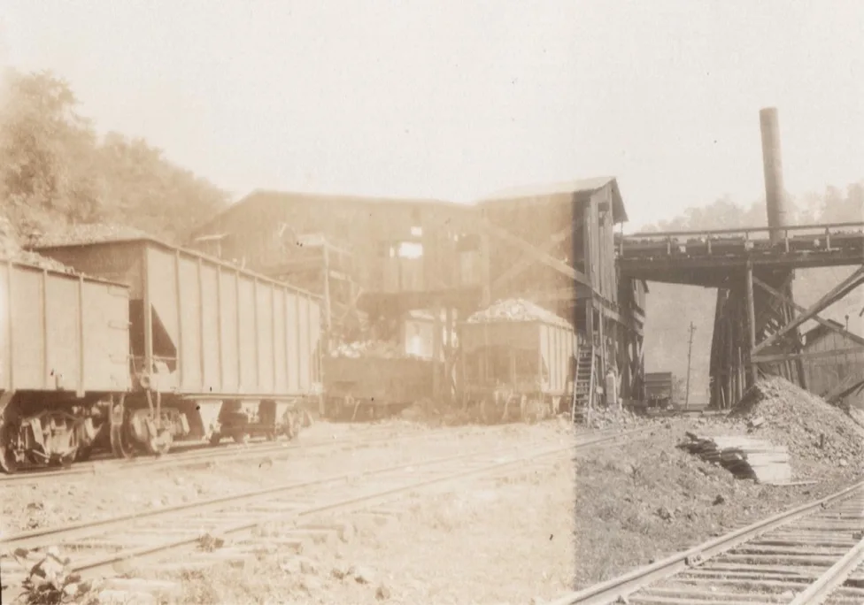
Wells Elkhorn #5 Mines, mile post 0.2 [cohs 46343]
Wayland
Elk Horn Coal Co. Mine #328
Elk Horn Coal Co. Mine #329
Elk Horn Coal Co. Mine #330
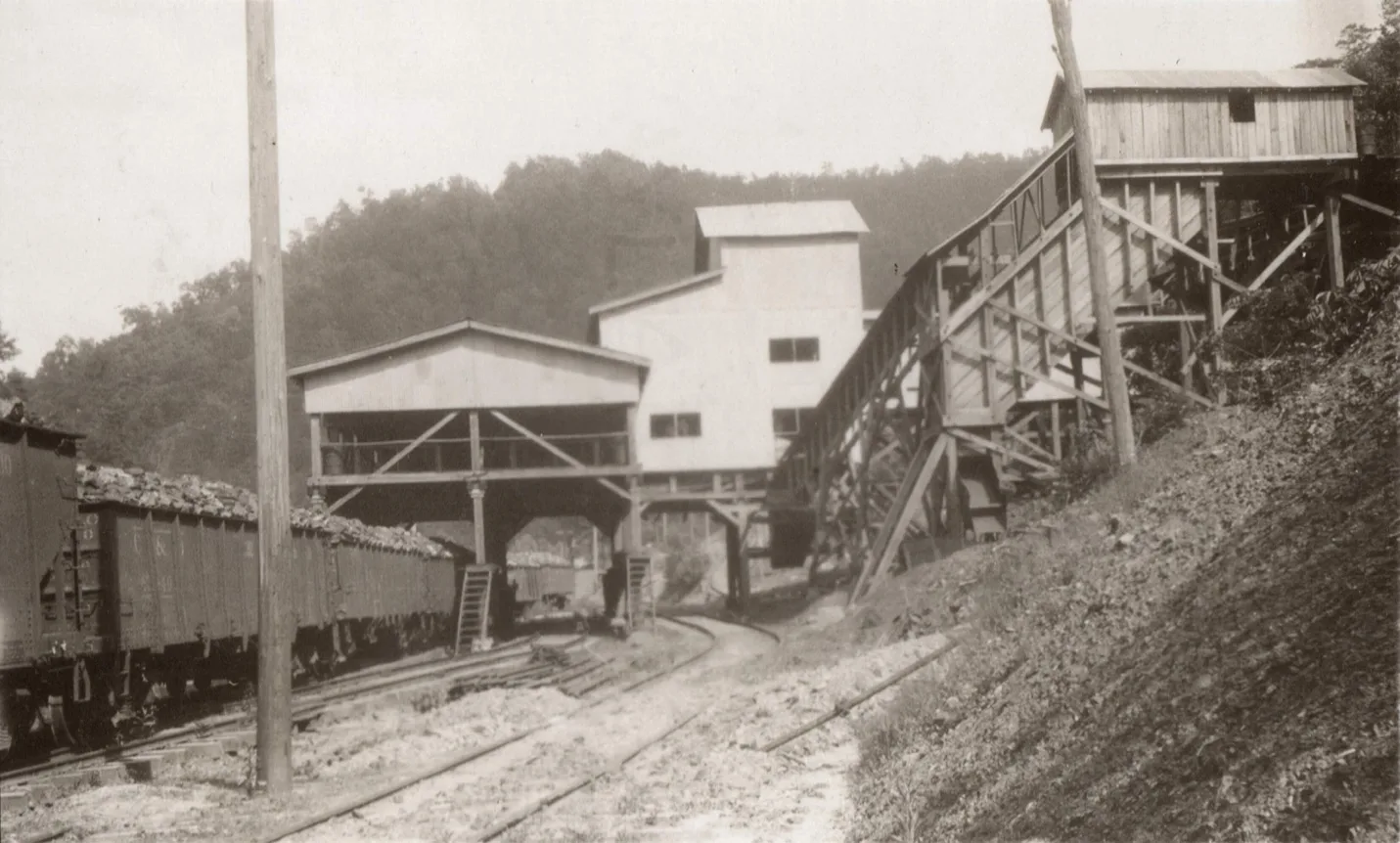
Elk Horn Coal Co. Tipple & Mine No.331
Rockhouse Extension of the Elkhorn & Beaver Valley Railway
C & O To Build
22.5 Miles of Road in Letcher
C & O Construction of a single-track, standard-age line, extending 22.5 miles south from Wayland, Ky., to coal lands in Letcher County, will be started soon by the Chesapeake and Ohio Railway, President Robert J. Bowman announced this week.
Contract for all grading, masonry and drainage in connection with the extension has been awarded to the Codell Construction Co., Winchester, Ky., Mr. Bowman said, the extension, estimated to cost $4.221,000 was sought by the Pittsburgh Consolidation Coal Co., Inc., of Pennsylvania and certified by the Interstate Commerce Commission last January 24. The ICC certification stipulated that construction start no later than May 1 of this year and be completed by September 1, 1947. The new line, connecting with the C&O’S Elkhorn and Beaver Valley subdivision, will serve an area of 58 square miles in Floyd, Letcher and Knott Counties in Kentucky. It is estimated this area contains nearly 200,000,000 tons of recoverable coal. Pittsburgh Consolidation Coal Co. controls about 35,000 acres of coal land in Knott and Letcher counties, and it was in connection with the proposed development of this acreage that the company asked the C & O to extend its line. Production in this area is expected to aggregate 1,500,000 tons per year by 1951-1952 and increase over the next five years to 2,000,000 tons per year.
According to the application filed with the ICC, the single-track line will extend from Wayland to a point near the forks of Indian Creek. The tipple of the proposed mine, to be developed as soon as rail service is available, will be located near the mouth of Razor Blade Branch of Rockhouse Creek in Letcher County, the application said.
[ the Daily News, March 13, 1947, p 1]
May 8, 1947, The Mountain Eagle Newspaper had made a big announcement in their “Round About” article. This past week we have been observing a number of things that are taking place in our county and are proud to state that many of them are easy on the eyes. Take for instance the beautiful new wall built by Mr. S. F. Dawahare, at his home near the Methodist Church; the painting of Mr. M. D. Lewis’s beautiful home; general cleaning up on many business places on Main Street. We motored to Beaver Gap last Sunday afternoon and saw many camps being established along with much heavy machinery in operation-getting a start on the C&O extension railroad coming over from Wayland to the head of Rockhouse. On Saturday we motored to Hazard via Blackey and saw that the L&N was also getting into full swing with its extension line which is planned to run sixteen miles up Rockhouse.
Recently we visited Pound, Va, and also saw the rapid progress the C&O is making on the railroad running from Dunham around over and through the mountain to Pound. This is a huge undertaking and will probably be completed this year. The highway leading from Pound Gap to Pound is also being! widened and will be an added improvement.
For the past several days now local road machinery has been used in improving the Cram Creek Road near Mayking.
This will aid many families in getting in and out of that community. Many people think that the big coal operations of the future will be located on Rockhouse which heretofore has been for the most part an isolated section. Some predict that a small town may be established somewhere on that creek to house the laborers of that section.
We believe that every citizen should strive to add to the beauties of our county and especially in the vicinity of their homes let’s make Letcher County the county of beautiful and attractive homes your home does not have to be a mansion to be beautiful, it can be a very small home and if the house is well kept and the grounds, it can be beautiful.
[Mountain Eagle Newspaper, May 8, 1947, page 1]
Big Sandy Sub-Division above Beaver Creek Junction
Malone Elkhorn Coal Co.
Kentucky Beaver Collieries
Jones Collieries Co.
Camp Branch Coal Co.
Betsy Lane Coal Company
Mine Office was located near Betsy Lane Post Office, coal was tippled on main line of the C&O Railroad, Big Sandy Division. E.S. Hitchenson was President mining in 1908. A furnace was widely depended on for air ventilation, coal was mined from the solid, working 12 men and one mule. [Kentucky Department of Mines & Minerals 1908, pg. 157]
__________________________________
SAINT PAUL COAL COMPANY, Betsy Layne, Ky.
W. C. Howes, President; A.M. Layne, Vice President; O.J. Williams, Manager and Treasurer; W. D. Huffman, Mine Foreman.
This mine is located about one mile west of Betsey Layne, Floyd County, Ky., on the C. & O. Railroad, and is working No. 1 Elkhorn seam of coal, which is 42 inches thick. The coal at this point is below tipple height and the opening or drift comes out under the railroad. The coal is hoisted up in tipple and dumped in railroad cars. The coal at this mine is shot off the solid and hauled by mules. A fan is used for ventilation. I visited this mine January 17 and found all conditions satisfactory, except the firing of a number of shots in succession. I requested that only one shot be fired at one time for, safety.
[Kentucky Department of Mines and Minerals 1922, p 299]
Betsy Lane Coal Company
Big Elkhorn Coal Co
PIKE-FLOYD COAL COMPANY, Betsey Layne, Ky.
Elsworth Shriver, Superintendent; II. C. Delaney, Mine Foreman.
This mine is located about one mile from Betsey Layne in Floyd County, Ky., on opposite side of river from the C. & O. Railroad, and is working No. 1 Elkhorn seam of coal, which is about 62 inches thick and contains two partings three inches thick and one in or near the bottom three inches thick. This company has three different openings or mines at this place, but are all worked in conjunction, the same tipple being used for all. These mines are all equipped with electric machines for mining coal. which is hauled by electric motors and are ventilated by fans. I visited these mines on the 11th of January and found all conditions satisfactory.
[Kentucky Department of Mines and Minerals 1922, p 300]
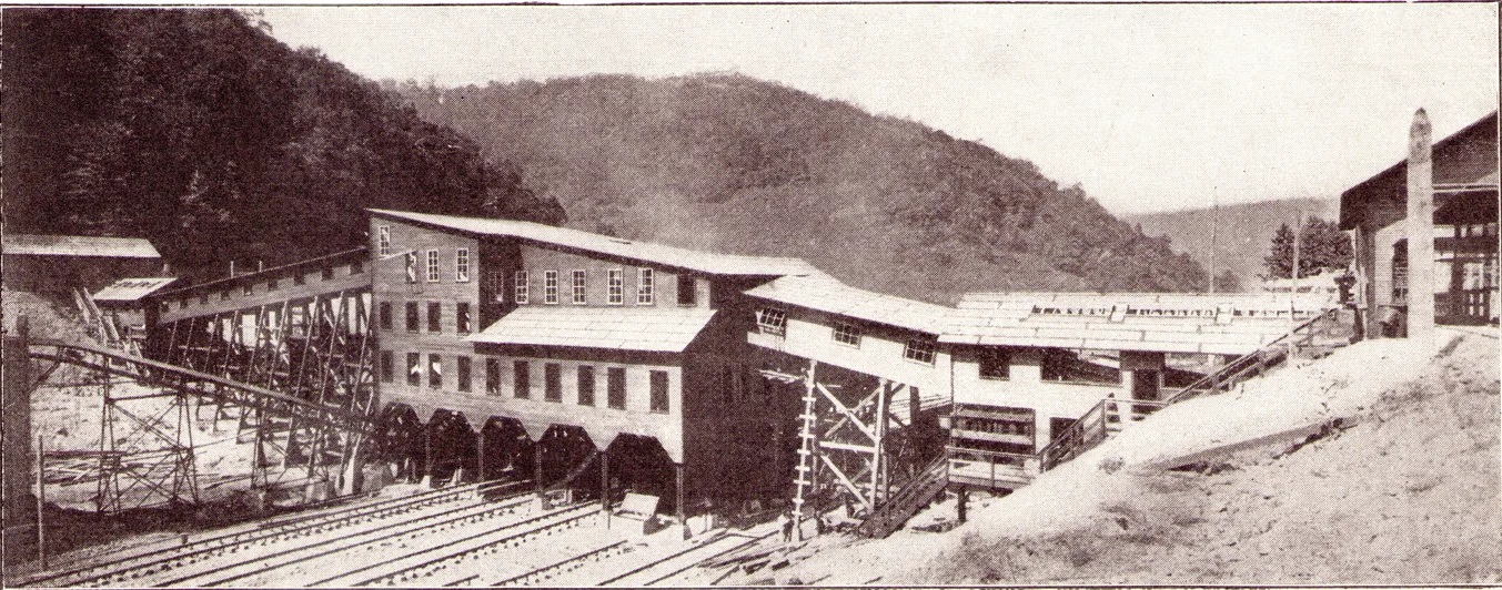
The headpiece of this illustration the Betsy Layne tipple of the Pike Floyd Coal Co., Betsy Layne, Ky. No cars pass over any part of the trestle structure, nor is the trestle subjected to dumping strains. Note how firmly planted on the hillside is the dump house on the right and also how satisfactorily the belt conveyors lift the coal from a point below true tipple height to the elevation required. This plant is planned to dump 5,000 tons in a day. Note on the left the housing of the flight conveyor. This conveyor carries coal to the boiler room.[Coal Age Magazine, March 1, 1923, pg. 361]
ONE of the most recent of the large modernly equipped coal plants to be opened up in the eastern Kentucky field is the Betsy Layne mine of the Pike Floyd Coal Co., a subsidiary of the Pittsburgh Coal Co. The mine lies on a two-mile spur from the tracks of the Chesapeake & Ohio R.R., in Floyd County, seven miles northwest of Pikeville, Ky. In few places in this field is construction of so permanent a character or the mechanical detail carried to such a degree of refinement.
This property, comprising approximately 2,000 acres, lies on the east side of the Big Sandy River. Of this area, 1,400 acres is underlaid by two seams of coal of commercial value. These are known as the “Elkhorn” beds, no satisfactory correlation having been made between these measures and the coals of West Virginia and of other bituminous fields. In many respects, nevertheless, they correspond to the Kanawha River series.
These two measures are separated by a short interval, 40 to 70 ft. thick. They lie not far from water level. Consequently, the coal area is not cut up by ravines into narrow fingers but is of such a shape that a regular system of mining can be adopted. The hills in this locality are broad and gently rounded, which accounts for the occurrence of a large unbroken tract of coal in a field where most of the bodies of coal are of such a shape that a simple mine layout is impossible.
The upper, or No. 3, seam, which is the one now being mined, has an average thickness of 5 ft., as determined by careful drilling and prospecting made when the property was acquired. It is a high-volatile coal similar to those from the No. 2 Gas and Pond Creek seams of West Virginia, though lower in Sulphur content and suitable for byproduct coking. The coal is fairly hard and stands preparation well.
The presence of two partings in the coal, the thickness of each averaging 3 in., makes mining difficult; these partings occur 15 in. and 36 in. respectively from the bottom. They are of hard blue shale and, though not difficult to remove from the coal, must be broken by a charge of explosive. This greatly increases the percentage of fine coal obtained. In some cases, the top isa hard, evenly bedded shale; in others, and especially near the outcrop, it is soft and laminated with coal, which is unevenly bedded and filled with fossils.
The location of the property on the east side of the river made it necessary to construct a bridge and build two miles of standard-gage road to connect with the Chesapeake & Ohio R.R., which is the outlet for this district.
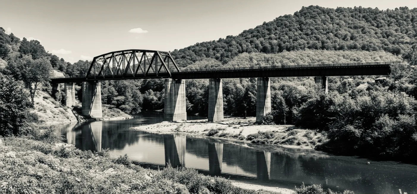
[RAILROAD BRIDGE CONSTRUCTED TO MINE, Coal Age Magazine, March 1, 1923]
Our railroad work has passed the stage of wood. In the most remote sections of the country, railroad bridges, even when made for temporary use, are built on stone or concrete foundations and constructed of steel. But reasons seem always ready at hand for justifying the use of wood in mine structures. Is it really reason or merely habit.
Because the railroads constantly tend to increase the size and weight of their coal-handling equipment, this bridge has been of heavier construction than present requirements would justify. It is composed of seven plate-girder spans with one 200-ft. through-truss span over the main channel.
The capacity of the yards is greater than is customary, as space is provided for 100 cars above and for an equal number below the tipple. Two systems of turnouts above the tipple permit the cars to be switched to any track; thus, the equipment received can be sorted out to suit the day’s loading and any particular size can be loaded into such equipment as the order specifies. In order to facilitate the movement of cars all loading tracks are constructed on a grade of not less than 1.14 per cent. Directly under the tipple the grade is increased to 1.75 per cent.
At the point where the coal lies at tipple height the valley has widened out to 380 ft. and divides the property approximately into two halves. These conditions favored the construction of one tipple which would handle the output of two mines, one on the north side and one on the south side of this valley. The plan thus of the major points considered in the design of offered
Pike-Floyd Mining Plan and Surface Layout 1923
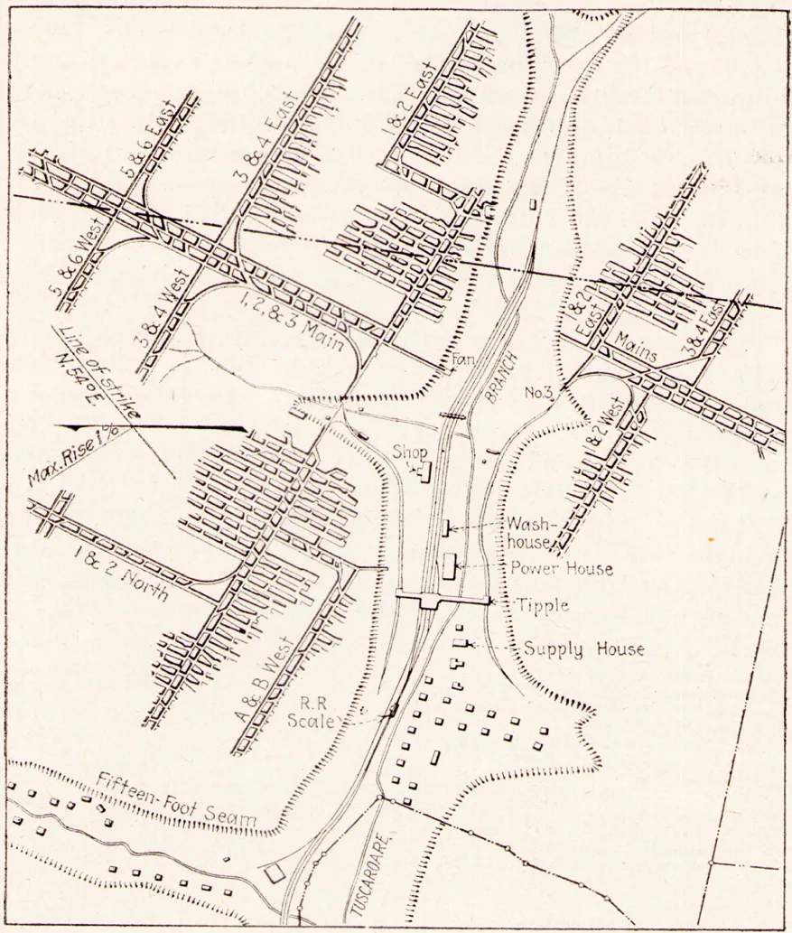
was adopted and a twin tipple erected with a capacity to handle 300 tons per hour from each side, or a total of 5,000 tons per day. As much of the coal goes to the domestic market, one of the major points considered in the design of this tipple was the elimination of all such equipment as would break the coal unnecessarily. Introductory image above two dump houses and conveyor gallery, as both on the opposite side of the valley are duplications. The wooden superstructure of the dump house rests on 16-in. basement walls of concrete in which are included a concrete receiving bin underneath the dumping floor. This heavy concrete foundation absorbs the shock of dumping so that it is not transmitted to the tipple structure.
By means of a crossover dump the coal is discharged into an 8-ton bin and is then fed by an apron feeder over a 12-in. bar screen to a rubber-belt conveyor which carries it to the shaker screens on the tipple proper.
The bar screen under the feeder separates the slack from the lump so that the former drops directly on an inclined pan discharging to the belt conveyor.
The coal which passes over the screen is discharged onto a rubber-belt picking table. Here two men are employed to clean the coal thoroughly before it reaches the center of the tipple, in the event that it is to be loaded as run-of-mine, or to give it a preliminary cleaning before it reaches the screens and picking tables above the railroad tracks in case sized coal is to be loaded.
Pike Floyd Coal Company Tipple
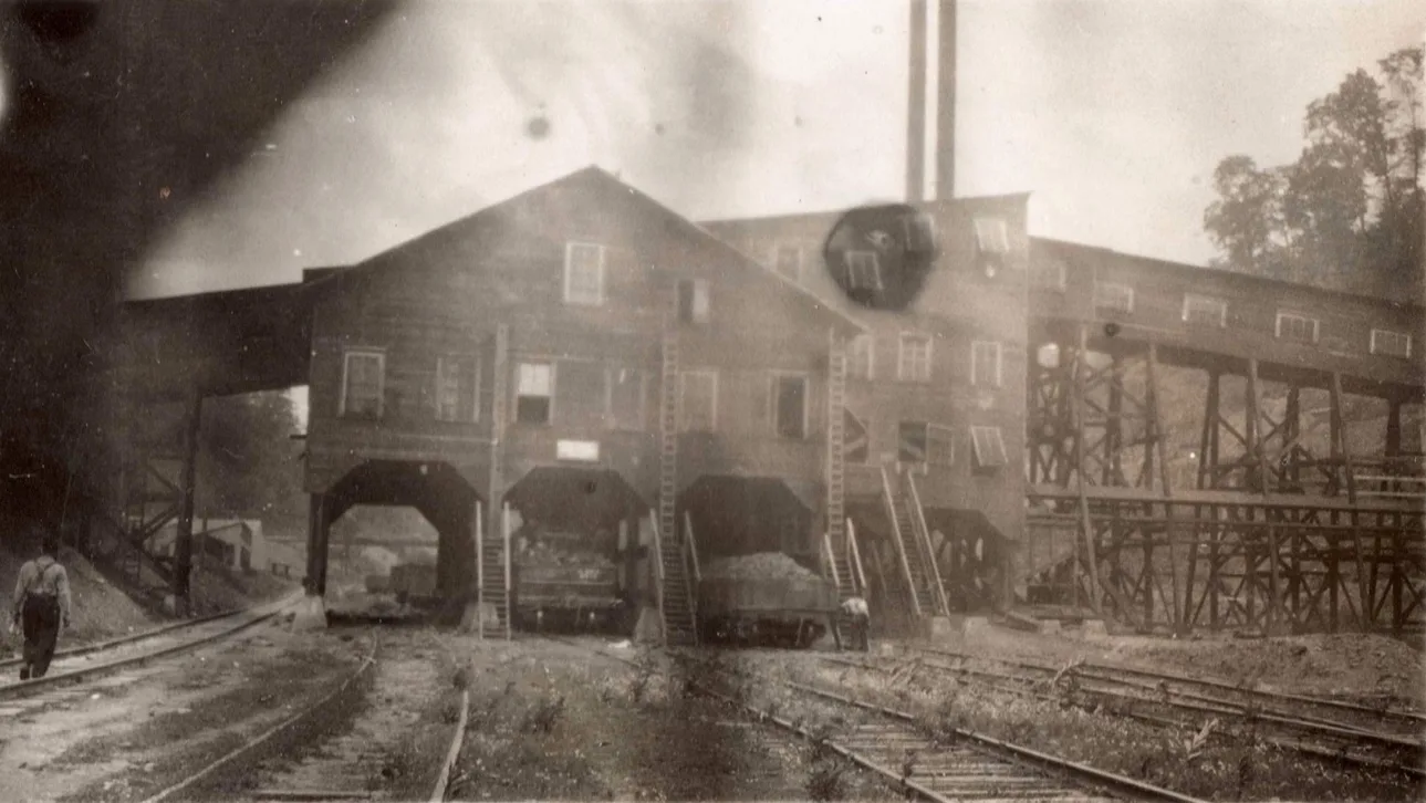
Pike Floyd Coal Company, 91.7 [cohs 46303] 1929
Above the picking table in the dump house is a scraper conveyor which discharges the refuse into a 25-ton wooden bin under which a mine track has been laid. Mine cars are spotted under the bin, and when loaded are hauled to a horn dump on the slate pile.
The conveyors which carry the coal from the dump-house to the tipple proper are made up of six-ply rubber-composition belting 42 in. wide. When delivering their full capacity of 300 tons per hour each they run speed of 225 ft. per minute. The power cost of driving these conveyors is low. A 30-hp. Motor drives each belt. The belts are about 200 ft. long between centers and operate on a 7-deg. Slope against the load. They require no attention other than the oiling of the idlers and pulleys. This is done by a man who looks after the operation of all tipple machinery and is responsible for its proper performance. Leaving the belt the coal goes into a pocket, from which it may be diverted by a system of fly-gates to either of the screening rigs or to the run-of-mine chute, which leads directly to the railroad car. The fines are diverted and run back to be loaded into railroad cars through the run-of-mine chute. The egg and lump sizes go from the screens to load the belts are about 200 ft. long between centers and operate on a 7-deg. slope against the load. They require no attention other than the oiling of the idlers and pulleys. This is done by a man who looks after the operation of all tipple machinery and is responsible for its proper performance. Leaving the belt the coal goes into a pocket, from which it may be diverted by a system of flygates to either of the screening rigs or to the run-of-mine chute, which leads directly to the railroad car. The fines are diverted and run back to be loaded into railroad cars through the run-of-mine chute. The egg and lump sizes go from the screens to loading booms having a 27-ft. table on the tipple deck for any further cleaning that is necessary.
Powerhouse was constructed with Two 300-kw. units driven by Ball and Skinner engines generate a 275-volt direct current which is used through-. out the operation for light and power. The generators were designed for 575 volts, but the armatures were rewound for 275 volts and the fields reconnected in multiple.
The original intention was to equip this plant with turbine units, and the boiler equipment was put in with this idea in mind. The installation is provided with two Stirling-type boilers each of 270 hp. The boiler pressure is 300 Ib. per square inch. The feed-water piping is so arranged that either of the two pumps which are installed can supply hot or cold water to the fire line on the tipple.
Pike-Floyd Coal Company Power House
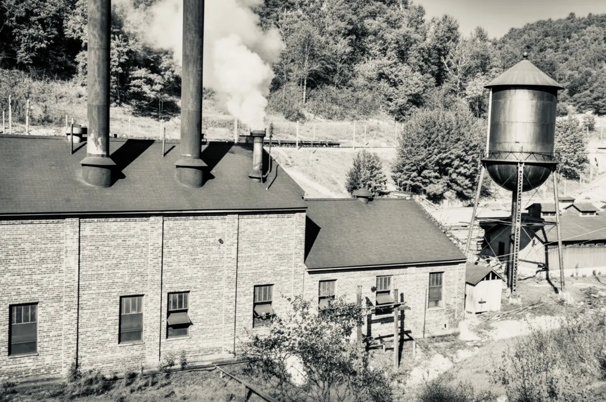
LAYNE COAL COMPANY
LAYNE COAL COMPANY, Harold, Ky.
This mine is located one mile west of Harold, in Floyd County, Ky., and the owners and officials of the company are all brothers, and they all seem to take great delight in their operation, and each knows his job, and they all work at the mine or in the office. The mine is working No. 1 Elkhorn seam. Coal is shot off the solid and hauled by mules, and ventilation is by fan. I visited this mine on January 10 and found it in satisfactory condition.
[Kentucky Department of Mines and Minerals 1922, p 300]
Layne Coal Co.
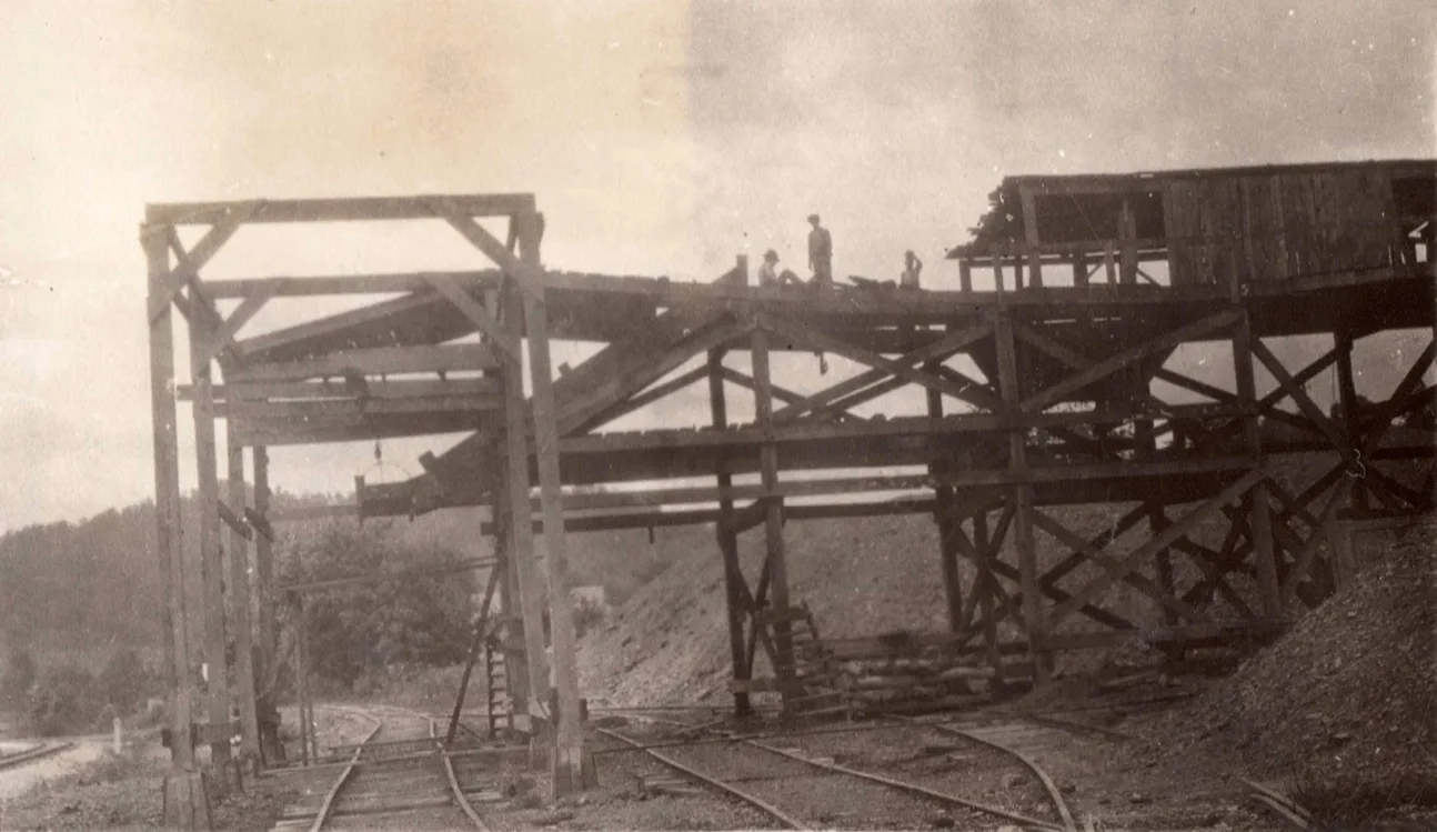
Layne Coal Company, Mile Post 92.5 [chos-46306] 1929
Harold Station
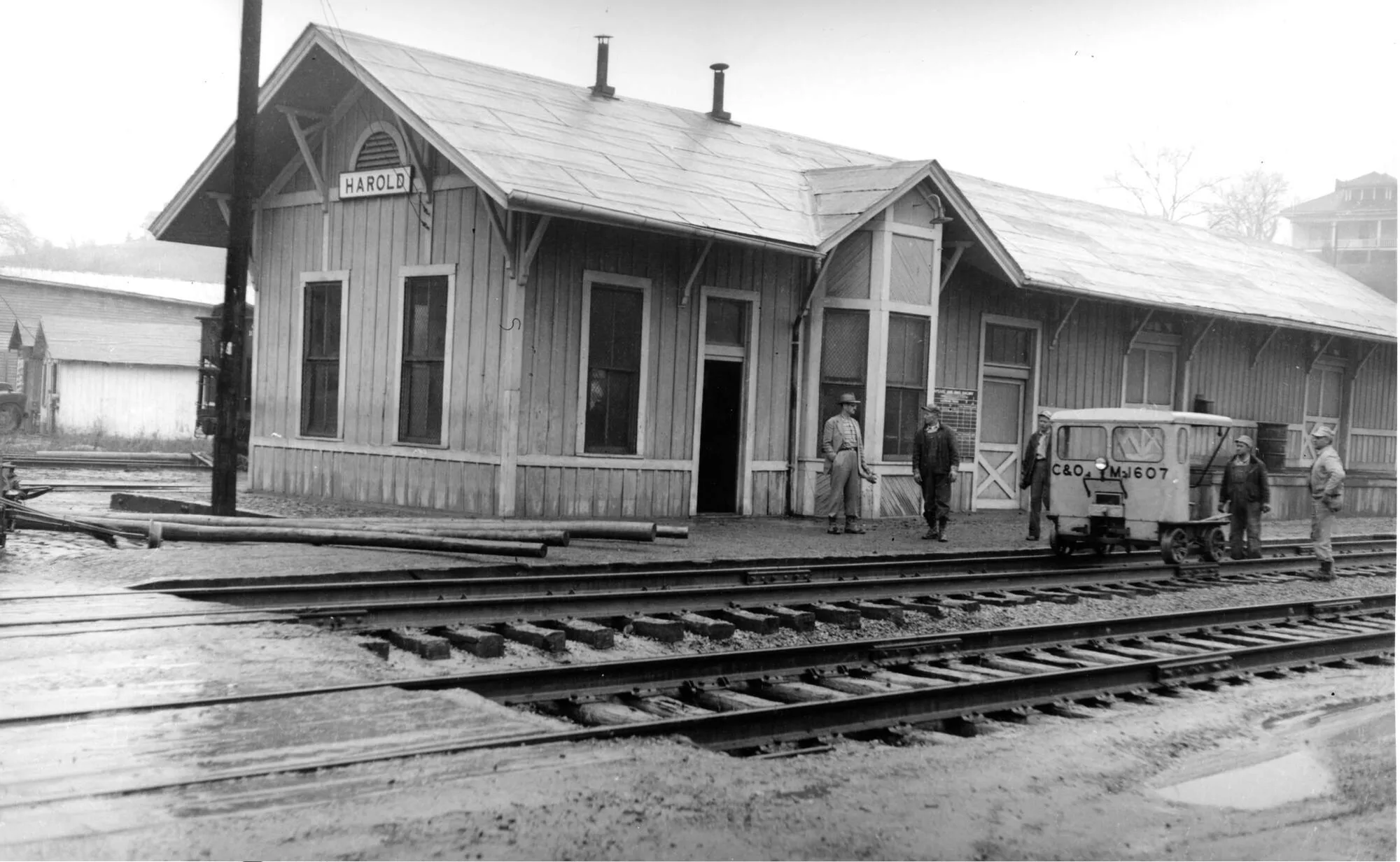
Harold Depot mile post 93.3 [cohs 5355] February 1957.
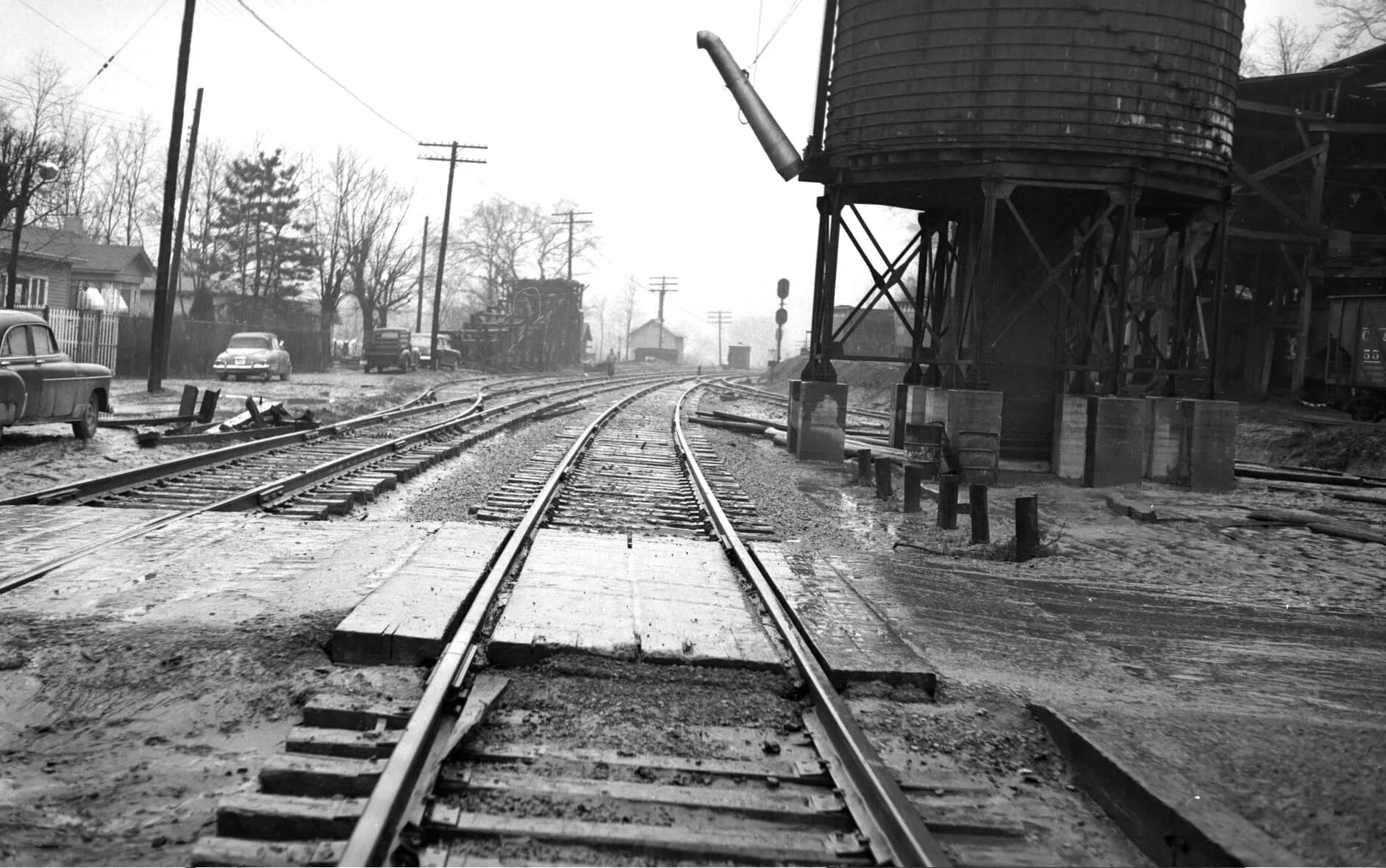
Harold Depot mile post 93.3 [cohs 5356] February 1957
Harold Coal & Coke Company
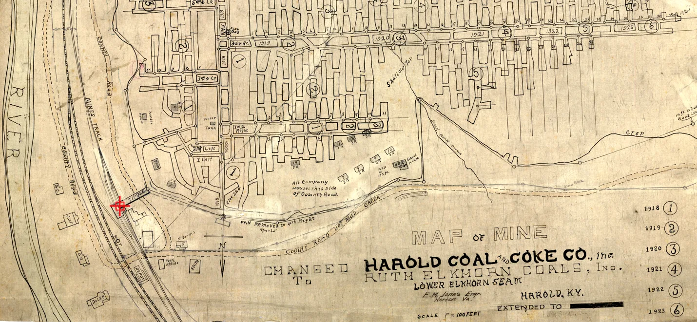
HAROLD COAL & COKE COMPANY, Harold, Ky.
Main Office, Roanoke, Va.
C. Markley, President; S. C. Markley, Secretary and Treasurer; J. P. Small, Manager and Superintendent; II. C. Roskey, Mine Foreman.
This mine is located at Harold. Floyd County, Ky, on Big Sandy division of the C. & O. Railroad, and is working the No. 1 Elkhorn seam, which is 66 inches thick, with a 24-inch parting of white slate near center. They use for mining this coal electric are wall machines and coal is hauled by electric motors. The mine is ventilated by fan. I inspected this mine on the 29th of January and found same in very fair condition. [Kentucky Department of Mines and Minerals 1922, p 282]
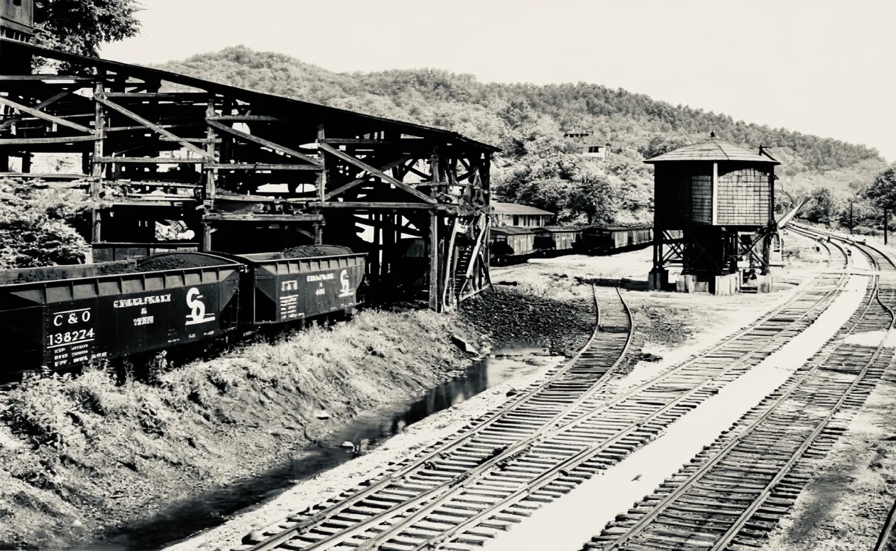
Pike County Historical Society
Furnace Coal Mining Co.
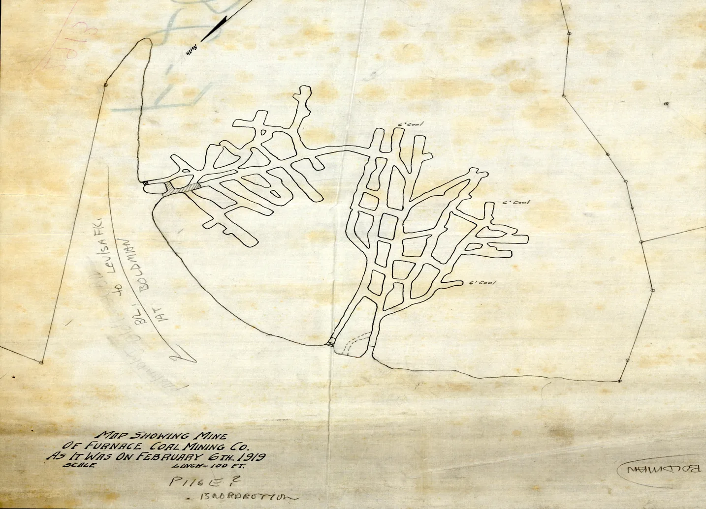
Entering Pike County on the C&O Railroad, Big Sandy Sub-Division
Straight out of the pages of Annual Mine Reports, Kentucky Department of Mines and Minerals 1909. Twelve Kentucky counties produced 200,000 tons or more, each; eight produced 50,000 to 100,000 tons each; and four produced less than 50,000 tons each. Those that produced 200,000 or more tons, respectively, come in the following order, Muhlenberg, Hopkins, Bell, Whitley, Pike, Knox, Ohio, Webster, Union, Laurel, Johnson, and Henderson.
Until 1908 Hopkins County held first place. The advance of the counties that lie within the Eastern Coalfield since 190+ is instructive. Pike county began producing commercial coal rail, and loading on C&O Railroad by 1904 and held 20th place in that year; in 1905 it moved to 14th place; in 1906 to 10th; in 1907 to 8th; in 1908 to 7th; and in 1909 to 5th. Its production will doubtless soon reach the million tons mark.
[Annual Mine Reports, Kentucky Department of Mines and Minerals 1909, page 7]
The Big Sandy Coal and Mining Company was the first organized commercial mining operation in Pike County in 1854. Mineral Rights were purchased in 1849 and the community of Industry, Kentucky was established July 29, 1852, and well on its way to establishing a coal camp at the mouth of Hurricane Creek. The Big Sandy Coal and Mining Company mined coal and shipped coal by wooden barges constructed on site. Kentucky Department of Mines noted in its mine works maps, the mines had been worked by Slave labor. The two invoices from Pike County Court records show that Thomas Johnson, from February 9, 1856, until May 1,1856, loaded and hauled 196.5 cart loads of coal at the rate of 50 cents per cart. For every 10-foot entry in bank coal, he was paid $5.00.
Pike County records indicate that William Weddington maintained a coal bank on his property prior Big Sandy Coal and Mining Company established it operation, which occurred before 1849. This historical note underscores the long-standing presence and significance of coal mining activity in the region, predating some of the more formalized mining operations before 1904. [Pike County Historical Society]
Boldman
Christie-Sowards Coal Co.
Younce Collieries Co.
Mossy Bottom Loadouts
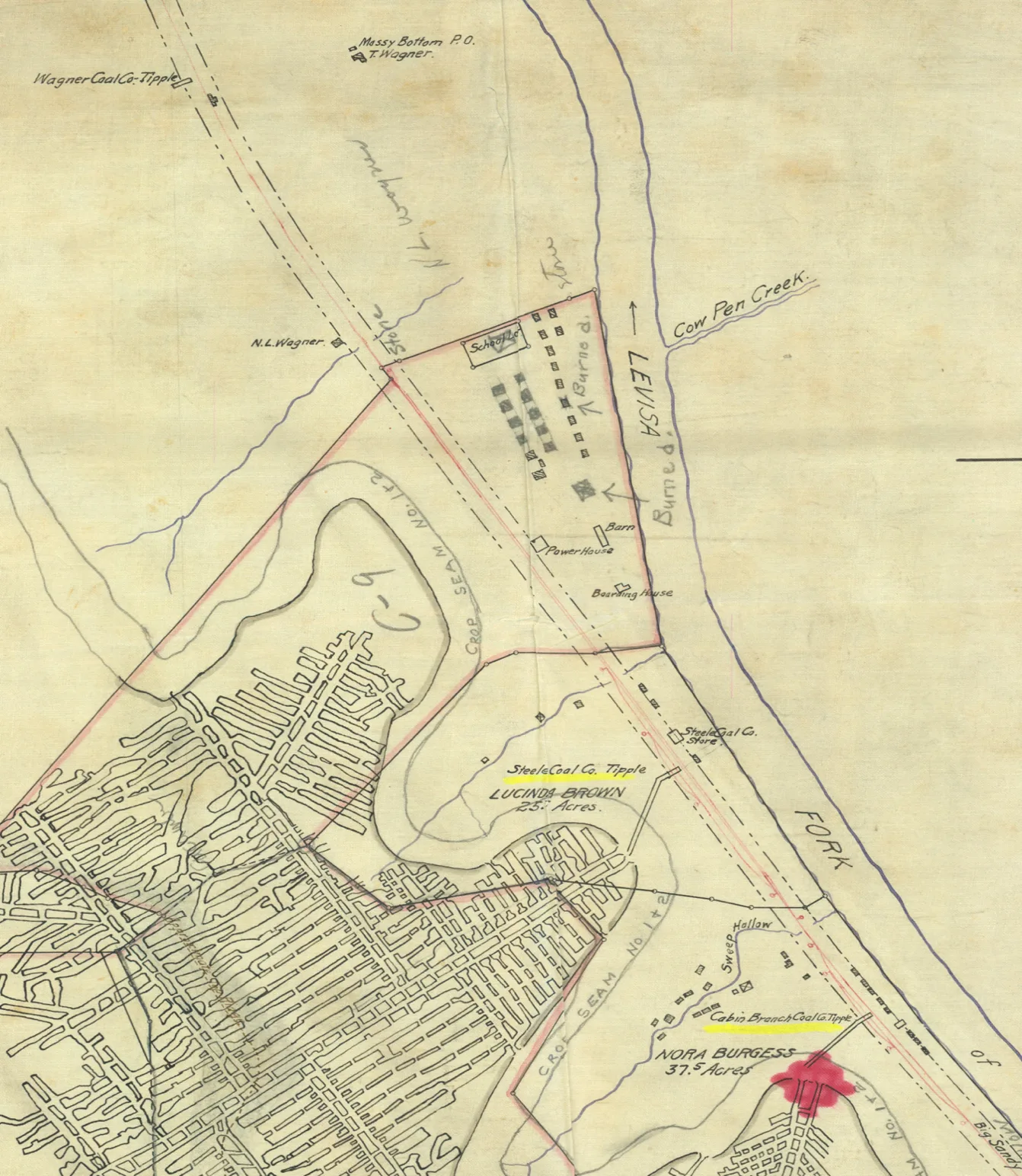
[ Kentucky Mine Maps]
Mossy Bottom Coal Mining Co.
Steel Coal Co.
Steel Coal Co in 1922 based on information from a Kentucky Department of Mines Report. Working the Upper Elkhorn Coal Seam, 60 inches thick, working 60 men. Electrically equipped, visit made on February 13, 1922. Working condition fair. Fred Stone, Superintendent; Bill Ratliff, Mine Foreman.
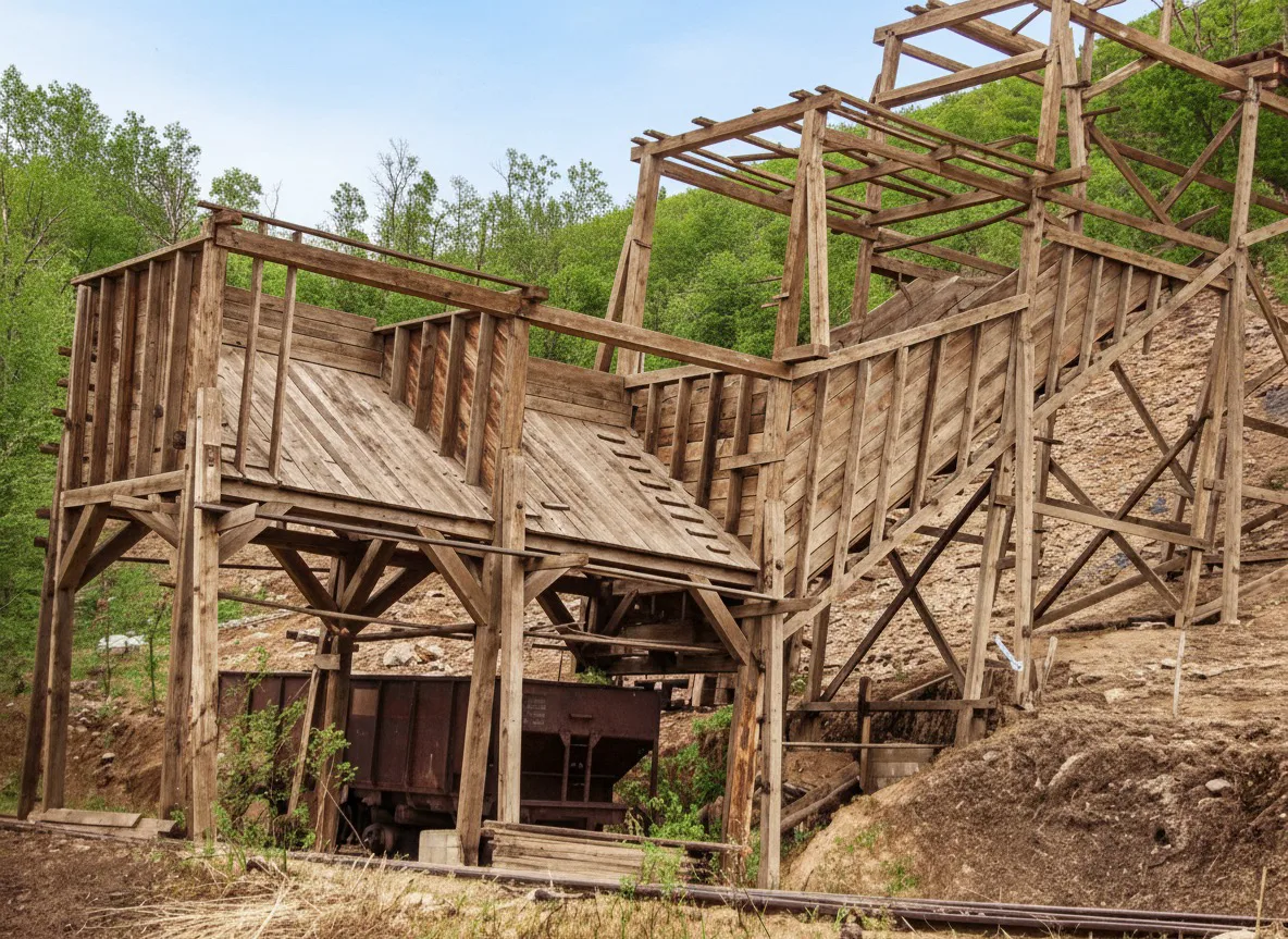
[WK Steel Coal Co. Tipple being constructed 1908]
Black Diamond Development Co.
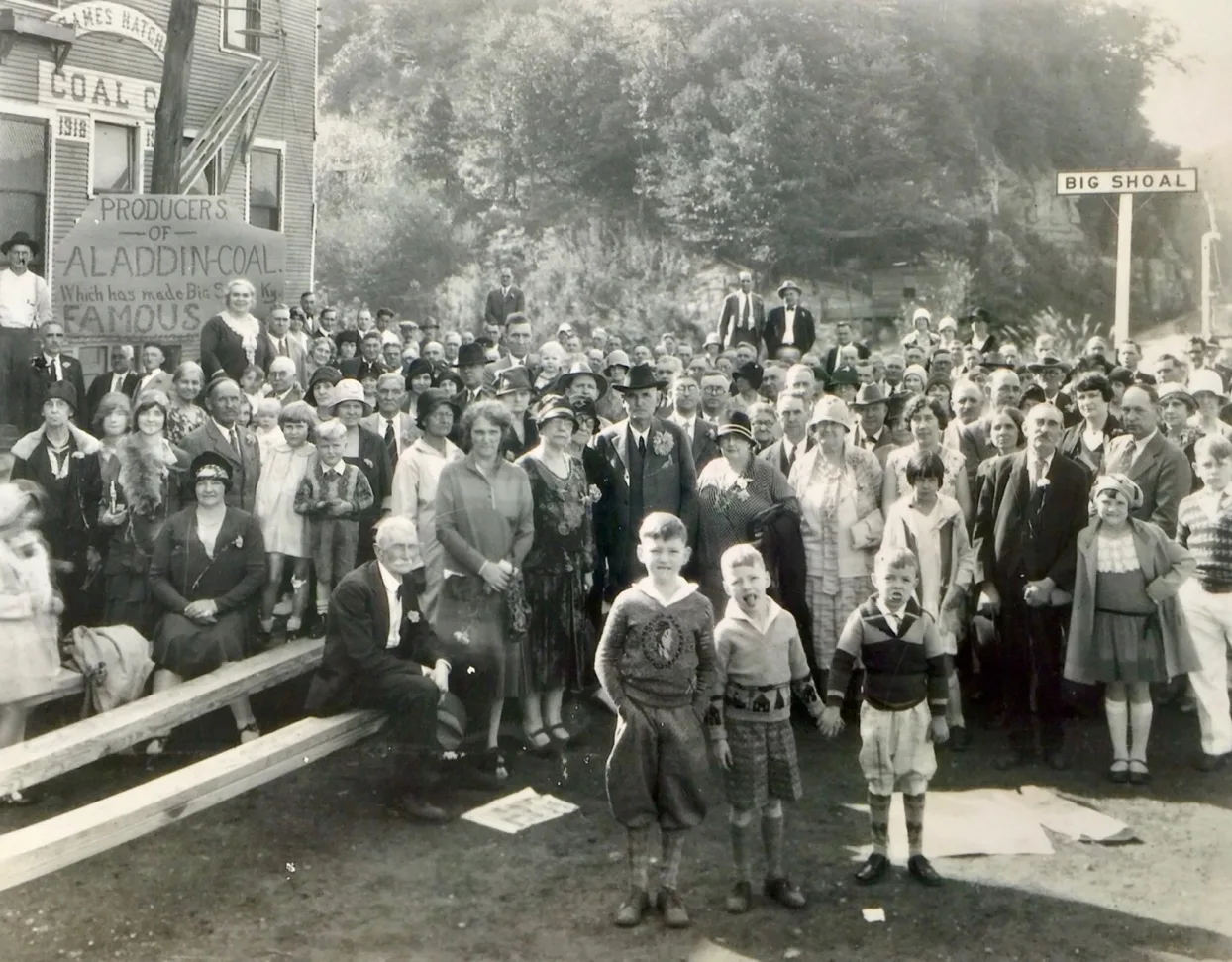
Big Shoal Mile Post 99.4
James Hatcher Coal Co
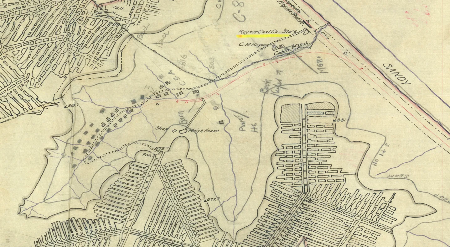
Keyser Coal Co. [Kentucky Mine Maps]
Hatcher Coal Co.
Coal Run
Coal Run Mining Co.
Pauley
Keel Mining Co.
Pikeville
Pikeville Kentucky was and still is the commercial and industrial hub for Big Sandy Region.
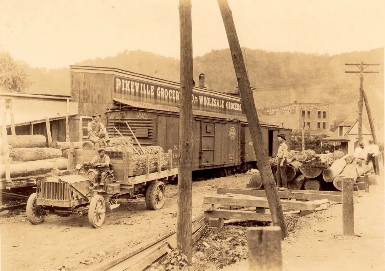
Pikeville Grocery & Wholesale Grocery & Builders Supply Co. [Pike County Historical Society]
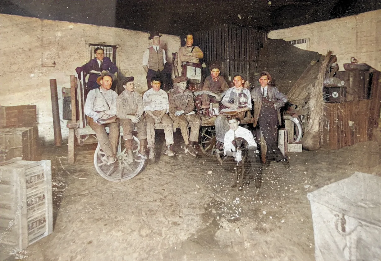
Railway Express Company/ Upper Pikeville Depot
Younce Coal Co.
Huffman Coal Co.
Big Hollow Coal Co.
Island Creek
Kewanee
Kewanee Coal Mining Co.
Kewanee Coal first enter mining scene around 1908. Located a few miles upstream of the Pikeville City limits.
1913 the mining community of Kewanee had major fire that destroyed nine-tens of the town. The Big Sandy News stated that Kewanee lost three homes.
[The Lebanon Enterprise, November 7, 1913]
One the best coal propositions on the Big Sandy River is the Kewanee Coal Mining Company, at Kewanee. Kentucky, three miles above Pikeville, Kentucky.
This operation has been a success from the very beginning of the present management, due to the experience and ability of Mr. O. P. Chatfield, the owner and manager.
Although a young man, Mr. Chatfield is the oldest coal man on the river. In 1899 he was manager of the old Peach Orchard mines at Peach Orchard. Ky., and successfully managed that operation for some time. He afterwards engaged in the coal business at Ashland, conducting the business of the Chatfield Coal Company, that built up a large trade in coal. From the Kewanee Coal Mining Company’s mines, the Chesapeake & Ohio Railroad Company buy all the coal for their engines on the Big Sandy Division. The coal mined here is of the best for that purpose and this contract insures a steady run of the mines.
In addition to this operation Mr. Chatfield is interested in the American Fuel Company, an operation between Prestonsburg and Pikeville, Ky., and is selling agent for the entire output of this operation. Mr. Chatfield resides at Pikeville with his family and is one of the most popular young men of the valley. Few men in this valley are so well and favorably known. He numbers his friends by his acquaintances.
The fact that he has made a success in the coal business is due mainly to his experience and ability as a coal operator, and to his honest dealings and his popularity.
Men at these mines are treated with respect and are given every advantage. Mr. Chatfield deserves the success he has made in the coal business.
[The Paintsville Herald, Thu, Mar 18, 1915 ·Page 28]
Medical Staffer, Nurse Miss Pluma Campbell had succumbed to the illness from which she had been suffering for a number of weeks. Pluma had seem stronger for several days, and hope was entertained for her recovery, but late Friday Night the effects of the disease had proved too much for her weakened constitution. The funeral services were held at her foster-mothers, Mrs. L.C. Smith, on Monday morning, and interment was held in the family cemetery at Kewanee. Miss Campbell was a flower of a young women, a was beloved by all that new her. She had taken training as a nurse and had spent some time in practicing of her profession.
[ The Big Sandy News, Fri, May 19, 1922 ·Page 8]
Winston-Elkhorn Coal Co.
Winston- Elkhorn Coal Co. was working the old Kewanee Drift mines based on the December mine inspection in1922, Annual Kentucky Mine Reports. Winston-Elkhorn Coal Co. was using the Kewanee siding near C&O Railroad’s mile post 109, just east of the mining camp. Mine inspectors had mining operation working the Lower Elkhorn Coal, but actually it was the #2 Elkhorn, thickness of 36 inches; using electrical tram motor running rail to the mouth port. Coal was gathered by mule and cart at the face area, working 45 men at times. Working condition was found in ordinary; favorable. Willie Coleman was Mine Superintendent; Horace Gray, Mine Foreman.
[1922 Annual Kentucky Mine Reports]
_____________________
Ford Brothers Coal Co. (Wagon Mines)
Shelby Yard & Station
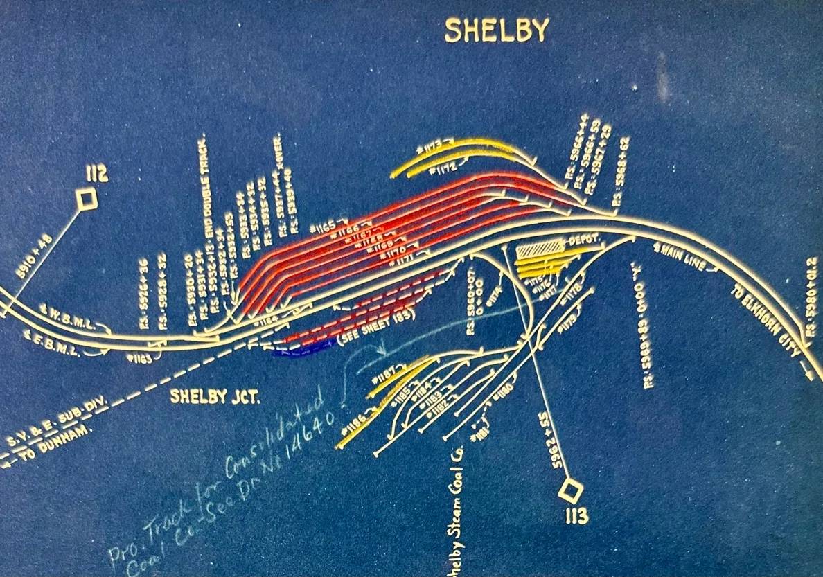
[Blueprint Courtesy C & O Historical Society]
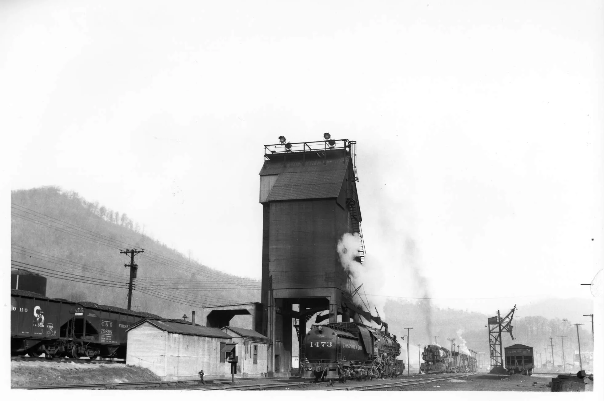
Engine under coaling station at Shelby Yard [cohs 35692]
___________________-
The Denver Café
Located at Shelby Yard, Kentucky. First-Class Meals & Lunches
One of the most needed places of business in the Sandy Valley is the Denver Cafe, Located at Shelby, Ky. Here is where you eat going and coming from Jenkins. It is the end of the division of the B. & O. railroad from Jenkins that makes connection with the C. & O. Denver C. Nichols, of Huntington, W. Va., has established a business here that is not only being well patronized by the traveling public, but it is appreciated by the public. Here you will find everything the markets afford to eat and served in first-class style. A fine Soda Fount, where all kinds of soft drinks can be found is also located in this cafe. Mr. Nichols knows this business from A to Z. Since coming to Shelby, he has made several friends, and his place of business is a credit to the largest city. Everything about the place looks good and it is good.
Attention of the traveling public is called to this place. If you have business at Shelby, or if you are going or coming from Jenkins, don’t bother about getting something to eat. Just wait till you get the Denver Cafe and you will find just what you want and served just the way you want it.
[The Paintsville Hearld, March 18, 1915, p 28]
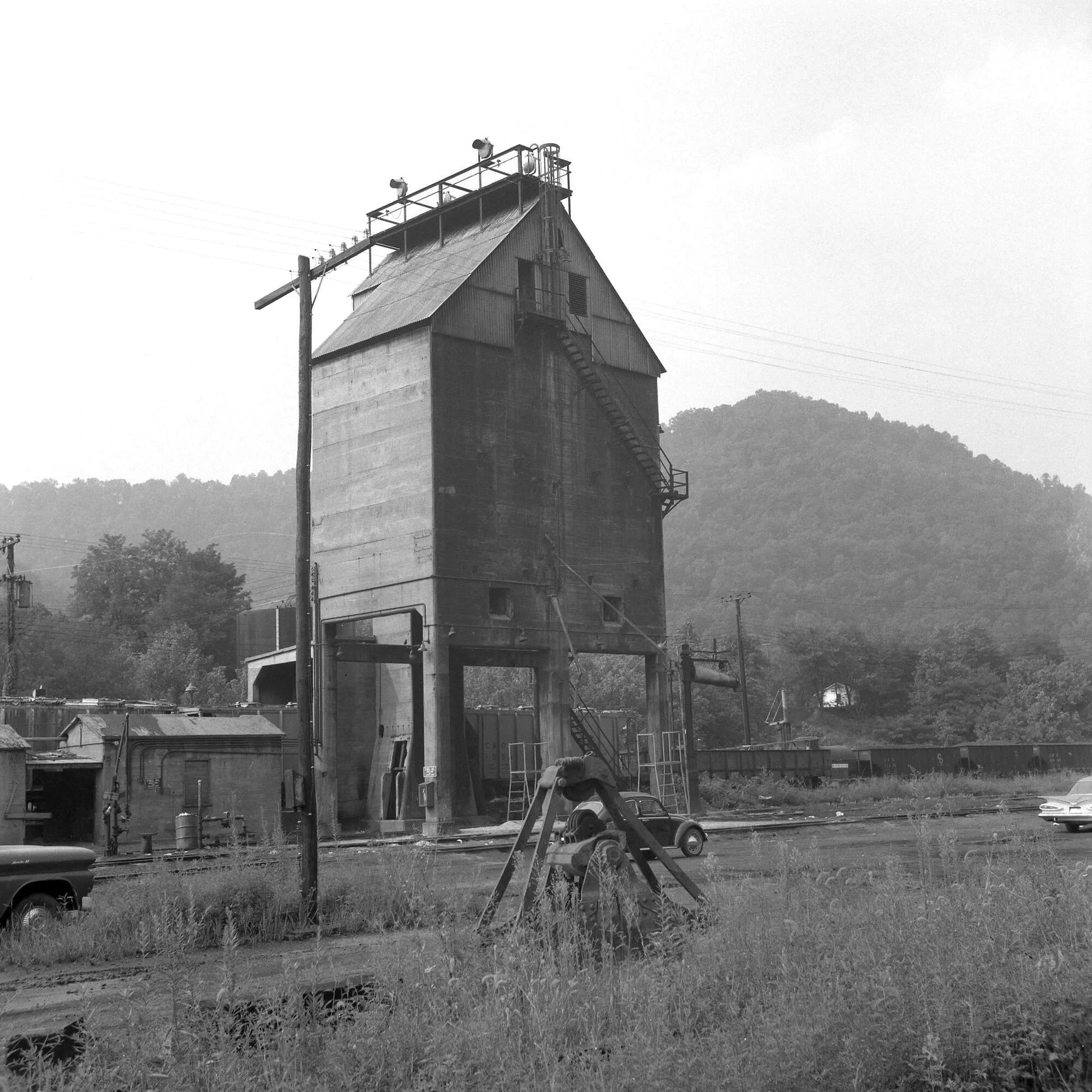
C&O 300-ton Concrete coaling station tower at C&O yard in Shelby, Ky, August 15, 1970 [cohs-31193]
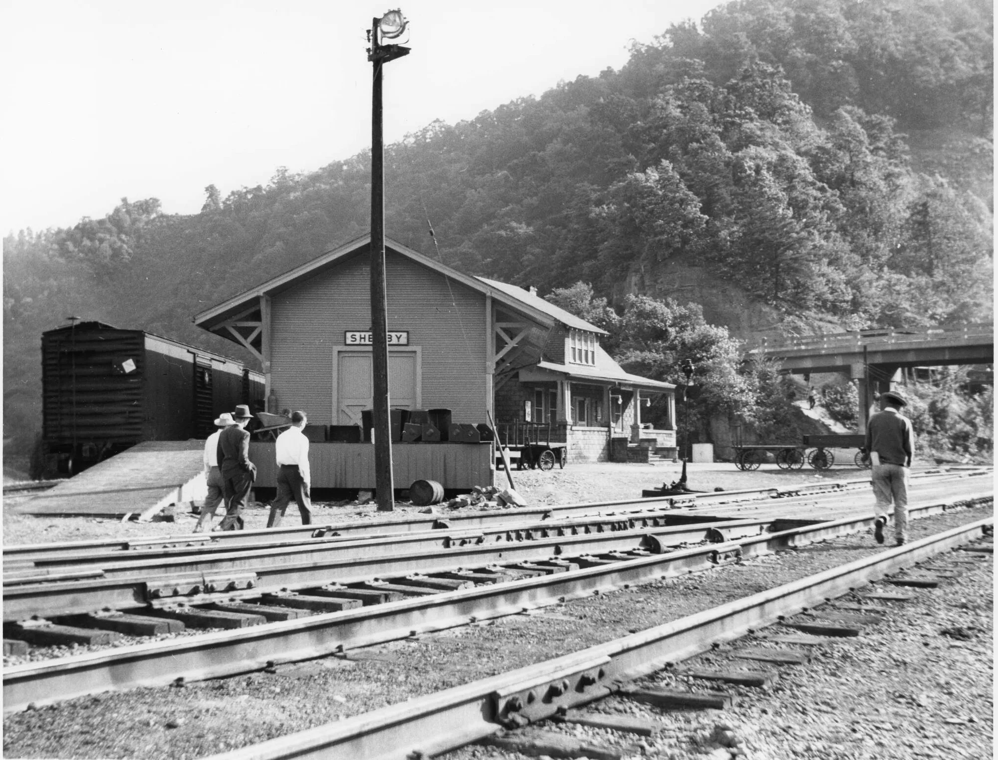
New Freight Station at Shelby Yard 1948 [cohs 53311]
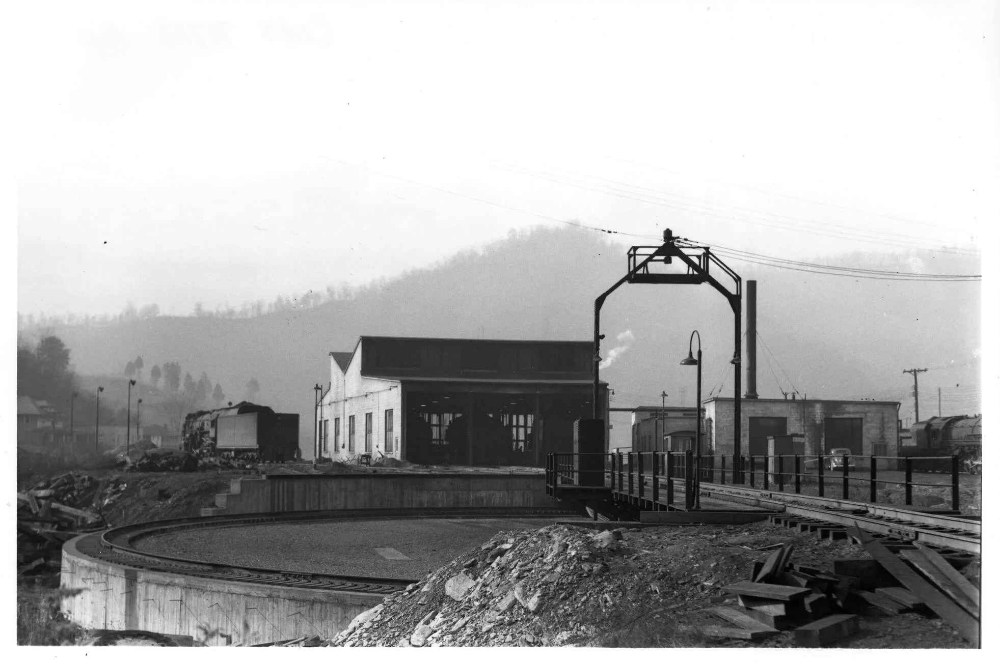
C&O roundhouse at Shelby, Ky. 1952 [cohs-35705]
Shelby Junction
Sandy Valley & Elkhorn Railroad Sub-Division
Big Sandy / Sandy Valley & Elkhorn Railroad Sub-Division
A letter written to Robert E. Jackson from Paul E. Mattingly sharing his life experience working with C & O Railroad.
I am glad that I worked for the C.& O. they are a good Railroad to work for, and I took pride in my work giving my best so they could prosper by my work. I am glad I worked for the C.& O. 46 years 7 months and 3 days. I am enclosing a picture of engineer Harry Johnson in the cab of 1500 on Jenkins yard I fired for him a lot he is now deceased. Also, on back of picture of Harry Johnson 1s the tipple at Dunham, Ky. You can see the ramp below the tipple in where trucks would haul in coal and dump from other mines, as explained under the picture. I am also sending you a picture of the wreck of the Old 97 this is said to be the only picture made of the wreck as there were – not many cameras in those days.
Would it be asking too much, for you to put Mr. Johnson’s picture in some paper or magazine? I would appreciate it very much. Also, I would love to have a copy of it, also old 97, if used.
*Note pictures were not found with this letter.
Dear Robert E. Jackson
I received your letter some time ago but have been busy. I will give you all that I remember about S.V. & E. Sub. Div. the B.& O. built the S.V. & E. in the early nineteen hundreds, from Shelby to Dunham end of line, the Consolidation Coal Company opened up the mines at Jenkins. They had 7 tipples from Burdine to Durham, and a barn at each tipple for their horses. they used in the mines. They were large Norman horses.
They had recreation buildings at Burdine, No 3 (now Gaskill) No 4 Jenkins, and Dunham. Also, No 5 Jenkins. The tipple at Dunham stands closet to where Old No 7 tipple stood. A Hotel at Jenkins also one at No 3, also A.B. & 0 Hotel on B. & 0. hill where most B.& 0. men lived. In 1922 the C. & P. Railroad took over the S.V. & E. a branch line of B.& O. Railroad •
In 1925 the C.& O. taken over the S.V. & E., all the engines were hand fired, there was a yard job, local freight, shifters, and a passenger train with 1 baggage car and 3 coaches making 2 round trips a day to Shelby and return to Jenkins and also Dunham.
I believe the old station sign is still standing at Dunham. The passenger stopped at all the stations. Some were flag stops, but about always there were someone to get on or off. The first run in early morning would meet No 37 coming from Elkhorn City to Ashland. Second run met No 36 from Ashland to Elkhorn City. The Coaches were most of the time full. Most of the stations had a shed closed on both ends also on back with a bench to sit on.
We were pretty busy staying on time as there were 18 stations between Jenkins and Shelby. The Virgie station use to be 2 or 300 feet below, the highway crossing where the station: was moved in later years by C.& 9., yes, they built the shed at the crossing •It is now torn down C.&O. also built the depot at Jenkins, the old B.& O. depot was about 300 It. above the New Depot and was on opposite side of track, the old Virgie station was in front of Coal Company: to store. Sometimes we would be there 2 or more hours unloading freight, as there was no highway in those days.
The motor crossing above Dunham tipple where the Semaphore signal is. There were mines on both sides of Railroad track. The mine motors would haul mine empties also loads across the.
Railroad track so, the Semaphore would be thrown on red while hauling the mine car across. Then thrown in normal position when not in use. Sometimes we would stop and throw the Semaphore if they were through.
Jenkins was a nice mining town they had their own powerhouse for mines, also the camps, we would place and tea, 50-ton cars of coal for the powerhouse a time. Also, some of the small mines had power houses namely, Dorton, Elwood, Virgie, ESCO, J.B. Elkhorn, Robinson Creek, Collins.
When we were called, we would go up to No 5 tipple and take coal. The firemen would fill the tender, we would take our train of loads to Shelby switch out our empties, leave Shelby for Jenkins, about 24 mile about Shelby at Buckfield a small mine we would stop and take coal again and if we had to double the hill between Dorton and Shelby Gap ‘the head brakeman would cut down coal the second trip up the hill: The Engineer would turn in 2-hours extra for this extra work.
There were several houses at Shelby when C.& O. took over S.V. & E., but not enough some of us S.V. & E. men moved to Pikeville until we could get a house at Shelby. Some built a house or bought one from someone else. The depot Train Master Road Foreman of Engines Yard Master and Operator Office were on the east end, Shelby Yard about 100 car lengths above the new locations. There were also 3 or 4 restaurants a barber shop and poolroom, also 2 stores on east end. The B. & O. engines were slide valves, C.& O. sent them to shop overhauled them put new steel cabs on them, later they began running the Mallet type engines, also Mikes K.l and K3, the engines ” would take 60 or 70 empties over Dorton Hill •
The B. & O. engines, also G.7 and G.9. would take 30 or 35 over the hill. Most of my work was on SV & E: I worked some on Lexington Sub Div as fireman, I fired some on the FFV. and Morehead local. I believe No 67 and 68, also Ashland yard. I fired some and run some on Big Sandy Sub-Division, yard and shifters. I believe my work on the Lexington-Division, was in 1942
[Letters to C & O Historical Society, Paul Mattingly, March 25, 1978]
Shelby Coal Mining Co.
R.H. Elkhorn Coal Co.
Buckfield Coal Co.
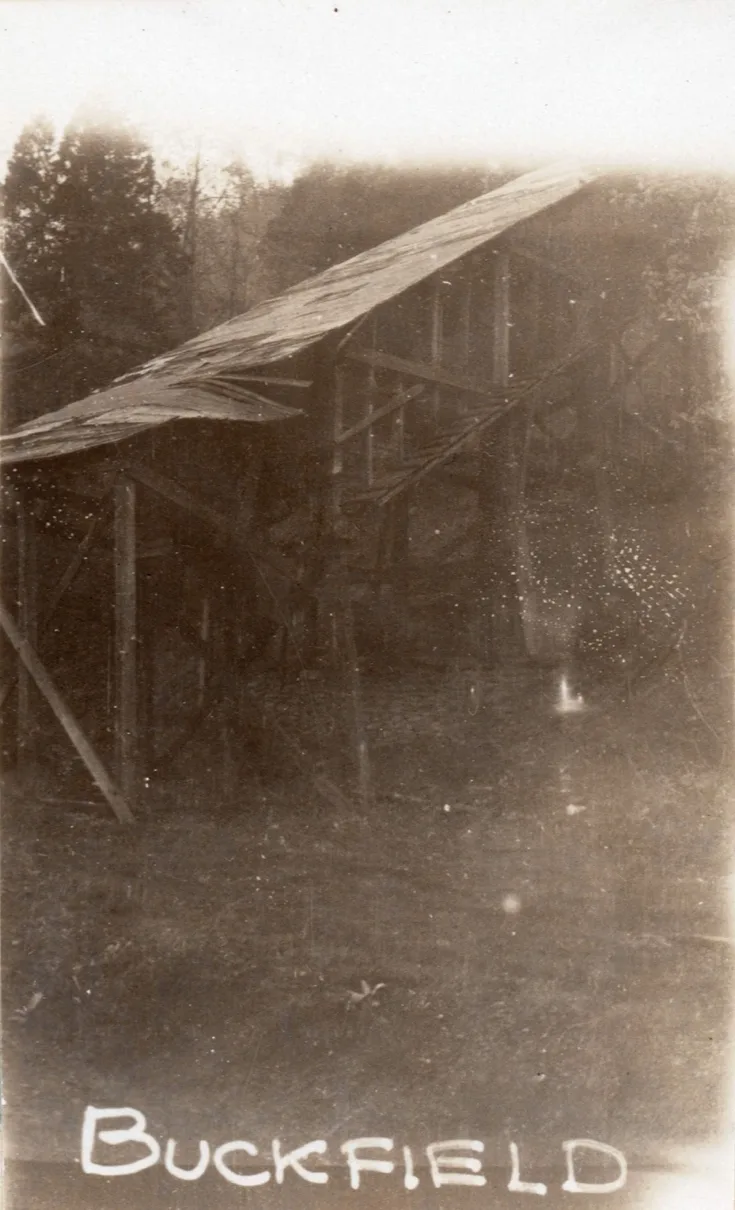
Buckfield Coal Co. Buckfield Mines, Mile post 2.9 [cohs-46352] 1929
Collins
The Westley Coal Corp. Valley Mine #3
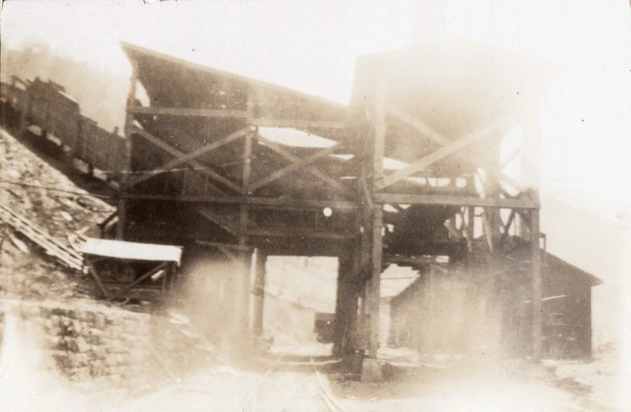
The Westley Coal Corp. Valley Mine #3, Mile post 3.5 [cohs 46554]
Elk Seam Coal Co.
Elkhorn Seam Coal Co.
Yeager
FORD ELKHORN COAL COMPANY
Ford Elkhorn Coal Co., Robinson Creek, Ky.
T. J. Phillips, Superintendent; Henry Bowling, Mine Foreman. #1 and #2 mines, located on the S. V. & E. Railroad, B. & O., near Robinson Creek station. Electrical equipment; working the upper and lower Elkhorn seams, average thickness about 47 inches; working about 80 men. Visited January 10, 1922. Found in fair condition.
[Kentucky Department of Mines of Report 1922]
Ford Elkhorn Coal Co.
[Rebecca Keene Charles Collection-Pike County Library]
Robinson Creek
The Board of Directors with the Beaver Creek Consolidation Coal Company had originally projected Robinson Creek for a railroad sub-division of Sandy Valley & Elkorn Railroad. Its main purpose was mine coal from the Bear Fork and Upper Robinson Creek area. This map was drafted on March 12, 1911. This mineral would later be assigned to York Coal & Coke Company. James M. York was its president.
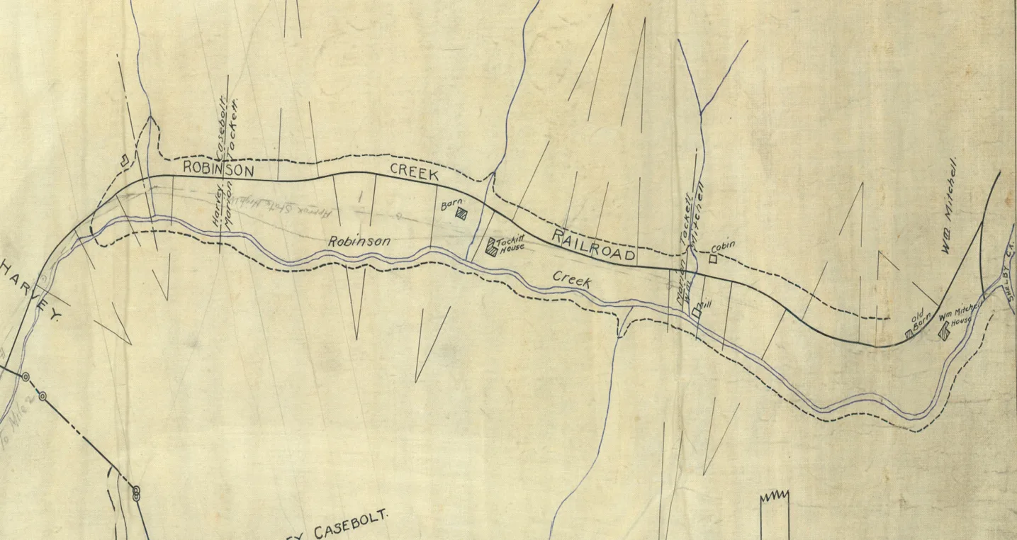
Kentucky Mine Maps System
Douglas/ Hildason
J. B. ELKHORN COAL COMPANY, Hildason, Ky.
George A. Clutts, Superintendent; J. N. Woolum, Mine Foreman These mines is located on the S. V & E. Railroad or B. & O. Railroad.
Mine number #1 at the Douglas station. Electrical equipment, working about 55 men. Visited January 9, 1922. Found in fair condition, working the upper Elkhorn seam, thickness 65 inches.
Mine #2 is located on the S. V. & E. Railroad or B. & O. Douglas station. Electrical equipment, working the No. 2 Elkhorn seam, 54 inches. Visited January 9, 1922, working about 60 men. Both mines found in fair condition. This mine is located 20 miles south of Pikeville.
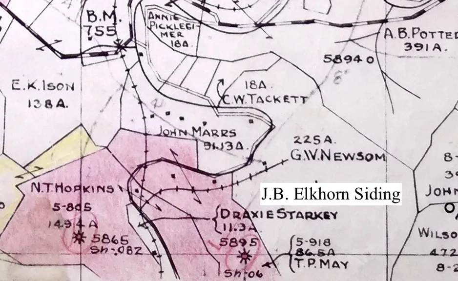
J.B. Elkhorn Coal Co Siding Location Map, Pike County Historical Society
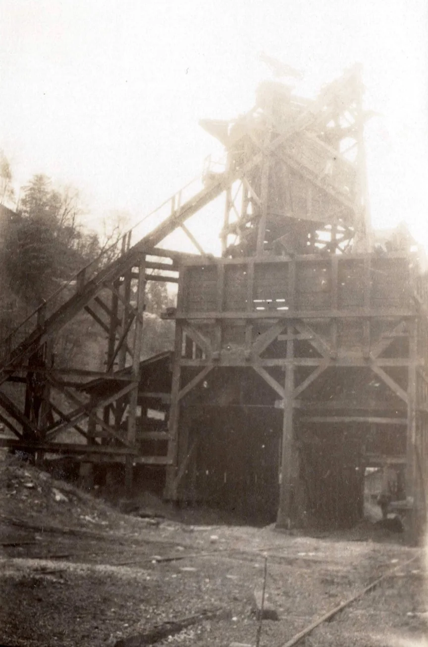
JB Elkhorn Coal Co. Tipple
___________________________________________________
ESCO/ Caney Siding
ELKHORN SHELBY CREEK COAL COMPANY, Esco, Ky.
Chas. Connolly, Superintendent; John Bowling, Mine Foreman. Working the upper Elkhorn seam, thickness 66 inches. Working about 85 men. Electric equipment. Visit was made on February 21, 1922. Conditions are good.
Elkhorn Shelby Creek Coal Co.
Penny Bottom Junction ?
Beth-Elkhorn Mine 29 Sub-Division
New Rob Fork Siding being constructed January 1971. The railroad trussell can be seen in the distances where US 23 is located today.
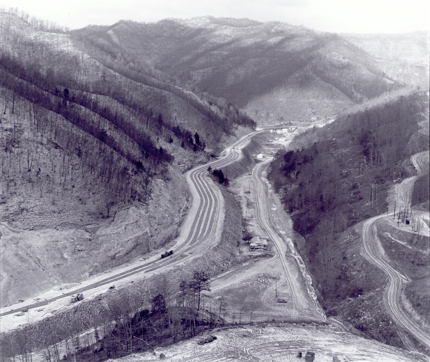
[CSPR 12192-B4]
Virgie
Rogers Elkhorn Coal Company
Rogers Brothers Coal Company marketed and sold their coal under trademark name Inferno Elkhorn; Inferno Elkhorn was register with the U.S. Patent Office. ROGERS-ELKHORN COAL COMPANY, Virgie, Ky.
Kentucky Annual Mine Report of 1923 List T. E. Rogers, Supt.; Boss Jones, Mine Foreman. Mine located on S. V. & E. Ry., twenty-two miles south of Pikeville; working upper Elkhorn seam; thickness about 80 inches; electrical equipment; working 80 men. Visited April 4, 1923. Found in good condition.
Illustration shows a string of mine cars at the opening of an INFERNO ELKHORN Mine. These sturdy little cars haul 300,000 tons of coal from INFERNO ELKHORN mines every year.
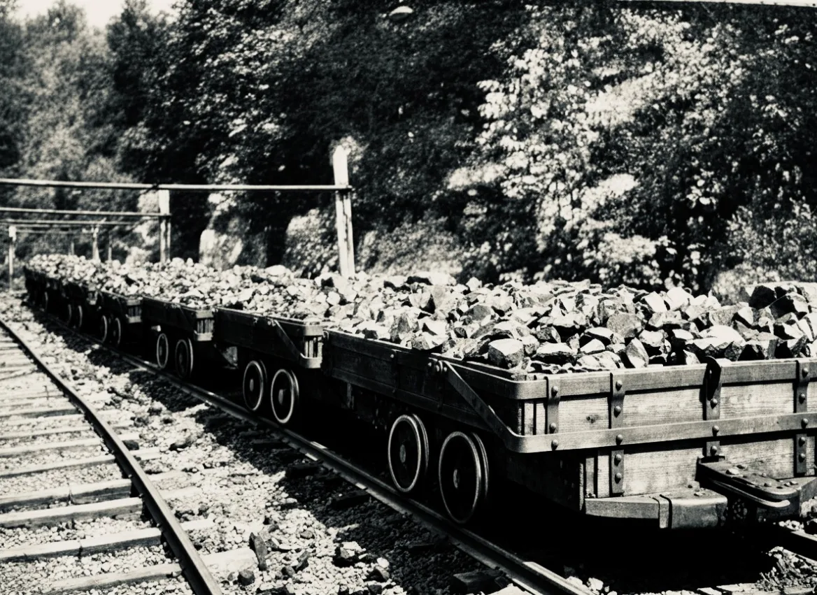
[1926 The Coal Catalog / Keystone 1926 Everett N Young Collection]
The picking table was a slow-moving chain conveyor located at the Head House, top of the point, above the tipple. The coal was sent down a long pan line made of sheet steel, cradled on a wooden frame. The pan line was several hundred feet long.
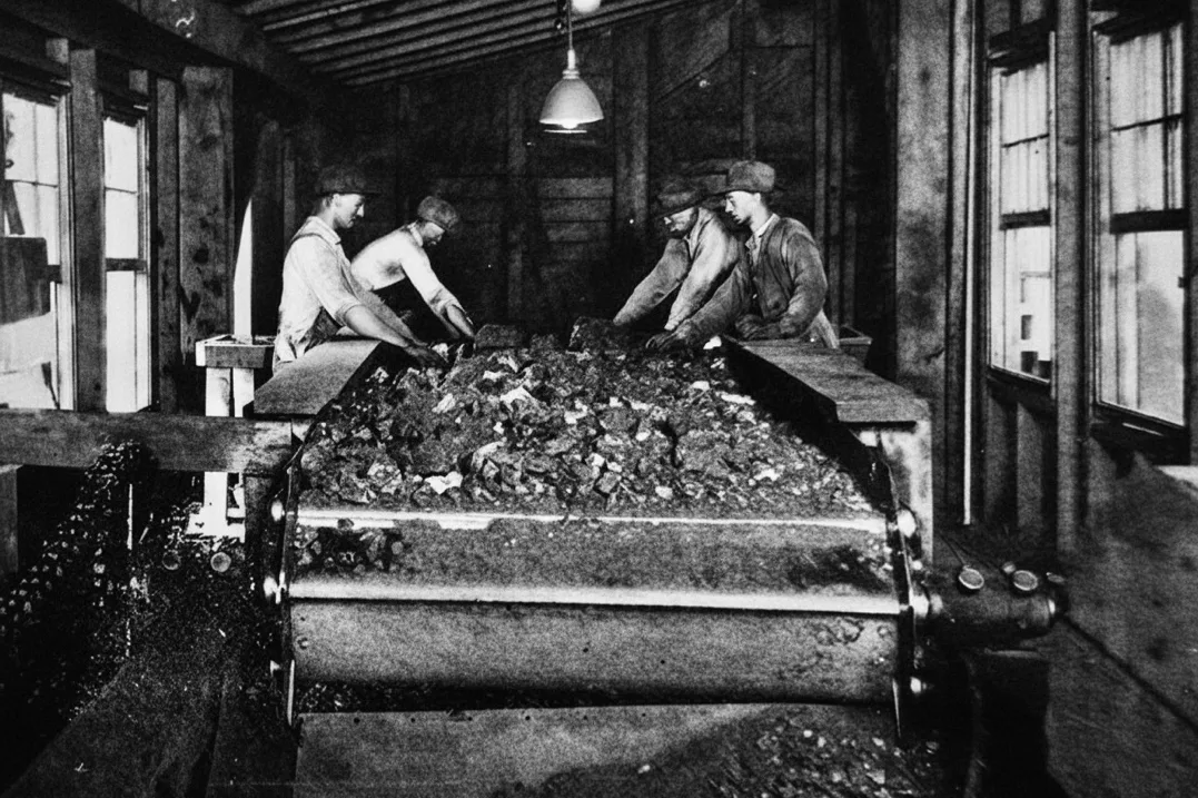
[1926 The Coal Catalog / Keystone 1926 Everett N Young Collection]
Virgie Depot 1926
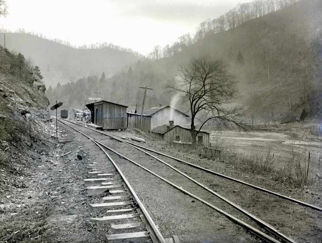
Virgie Depot 1926
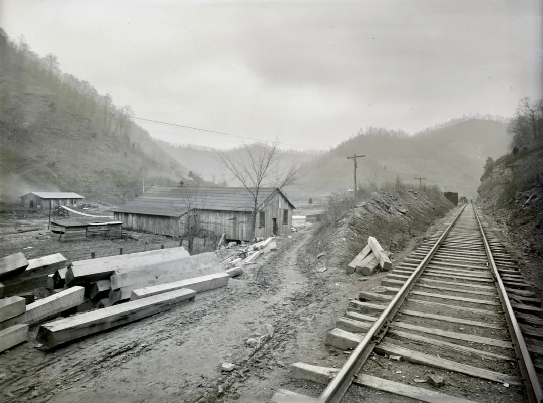
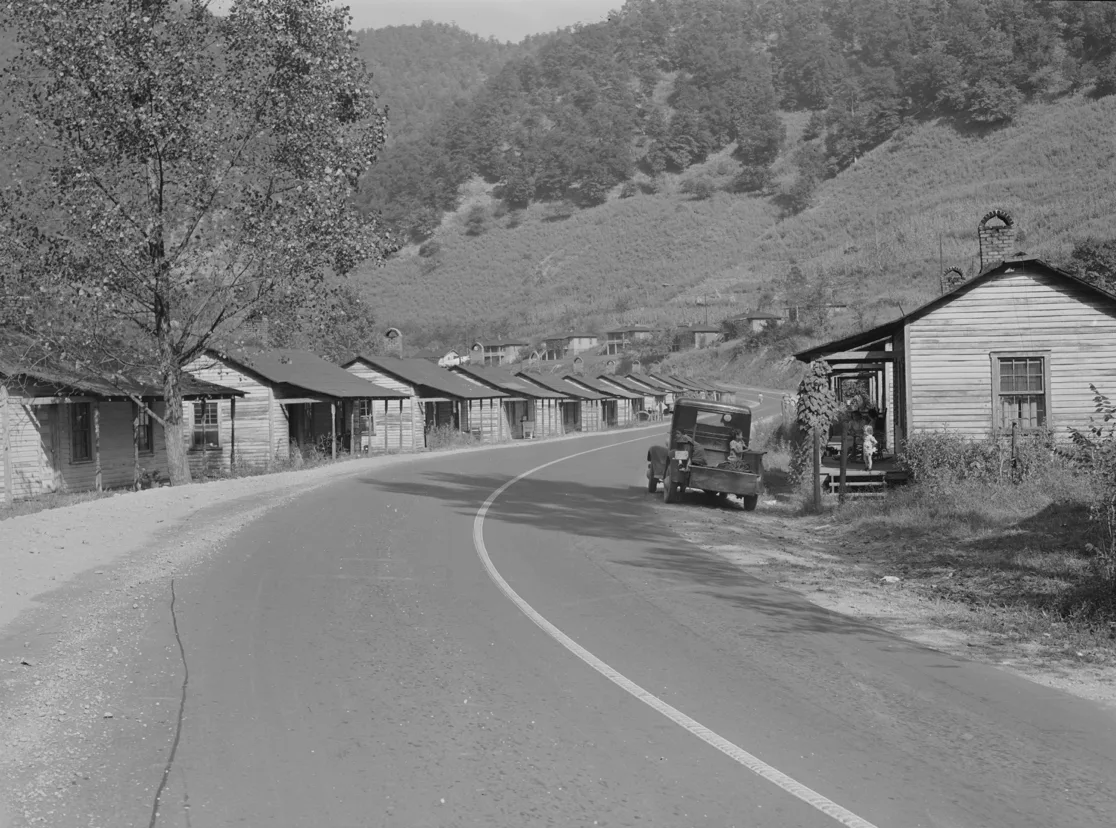
Virgie Mining Camp 1941,Library of Congress
Elwood
Kentucky Block Fuel Company
Kentucky Block Fuel Company, Jonancy. Superintendent, Charles Wagner; Mine Foreman B.F. Stilner. Electrical equipped. Working Upper Elkhorn 48. Inspector visited January 12, 1922, found in fair condition. Working about 70 men.
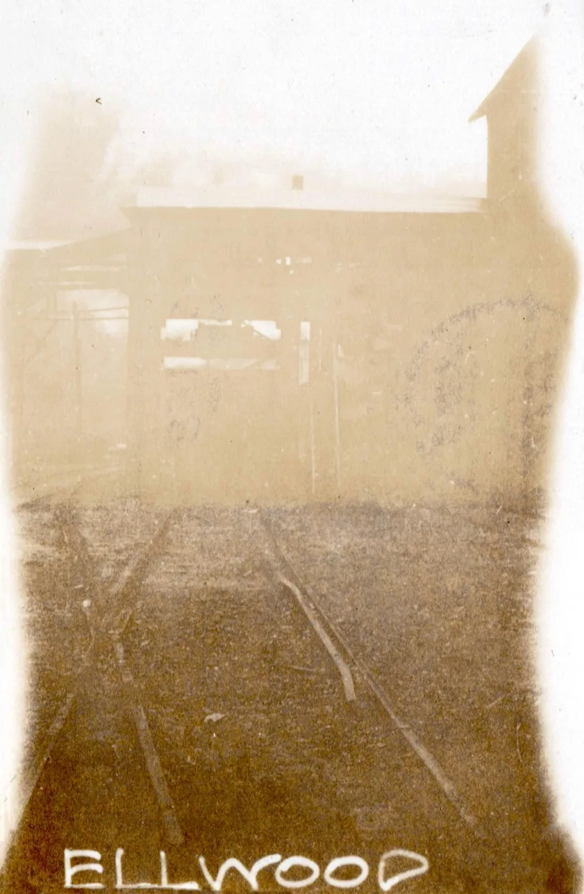
Kentucky Block Fuel Co.
Myra
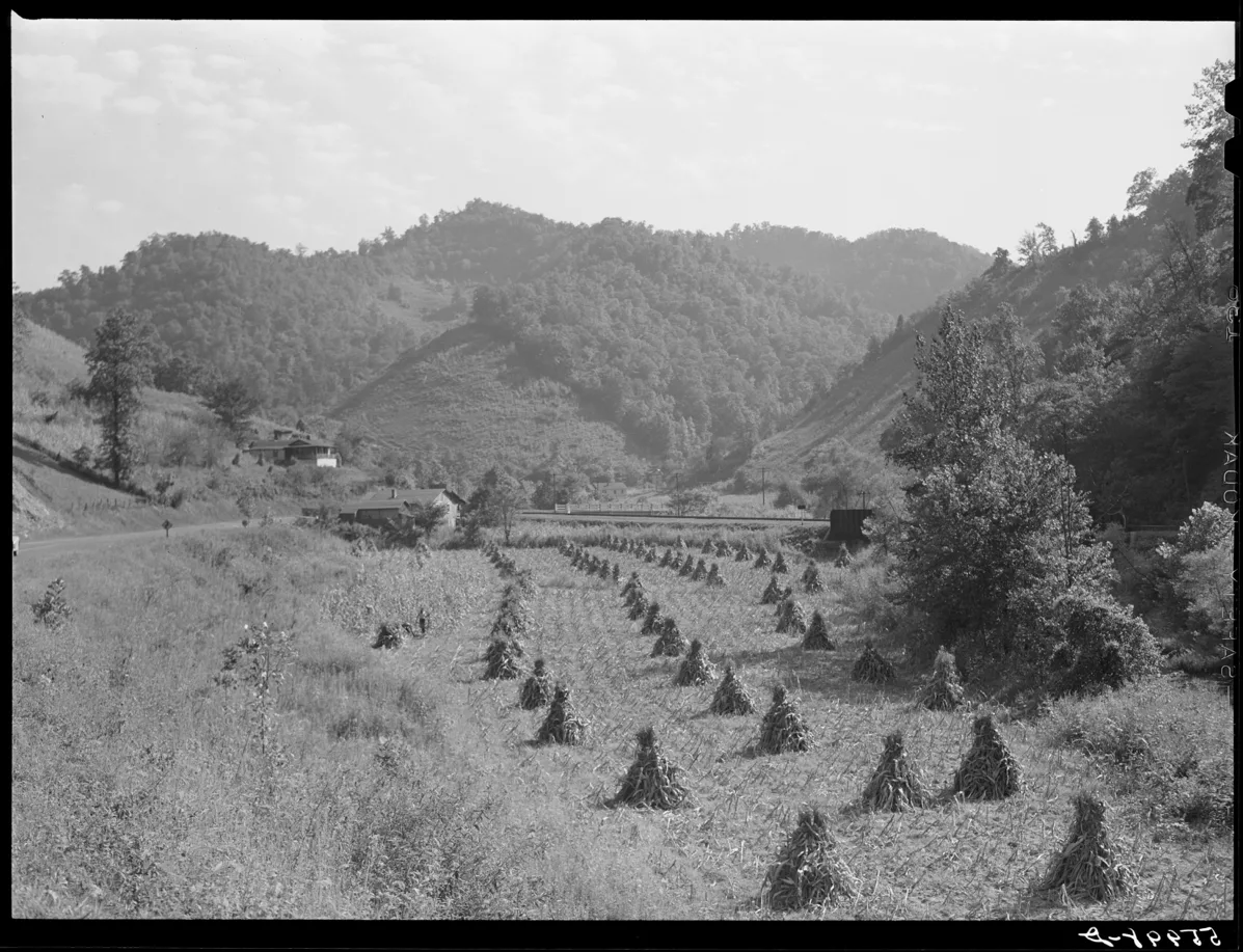
[Myra Crossing at the Mouth of Burke Branch 1941, Library of Congress]
Dorton
The Dorton Hill C&O Story
Kentucky Elkhorn By-Product Coal Co.
Three Mile Station
Shelby Gap
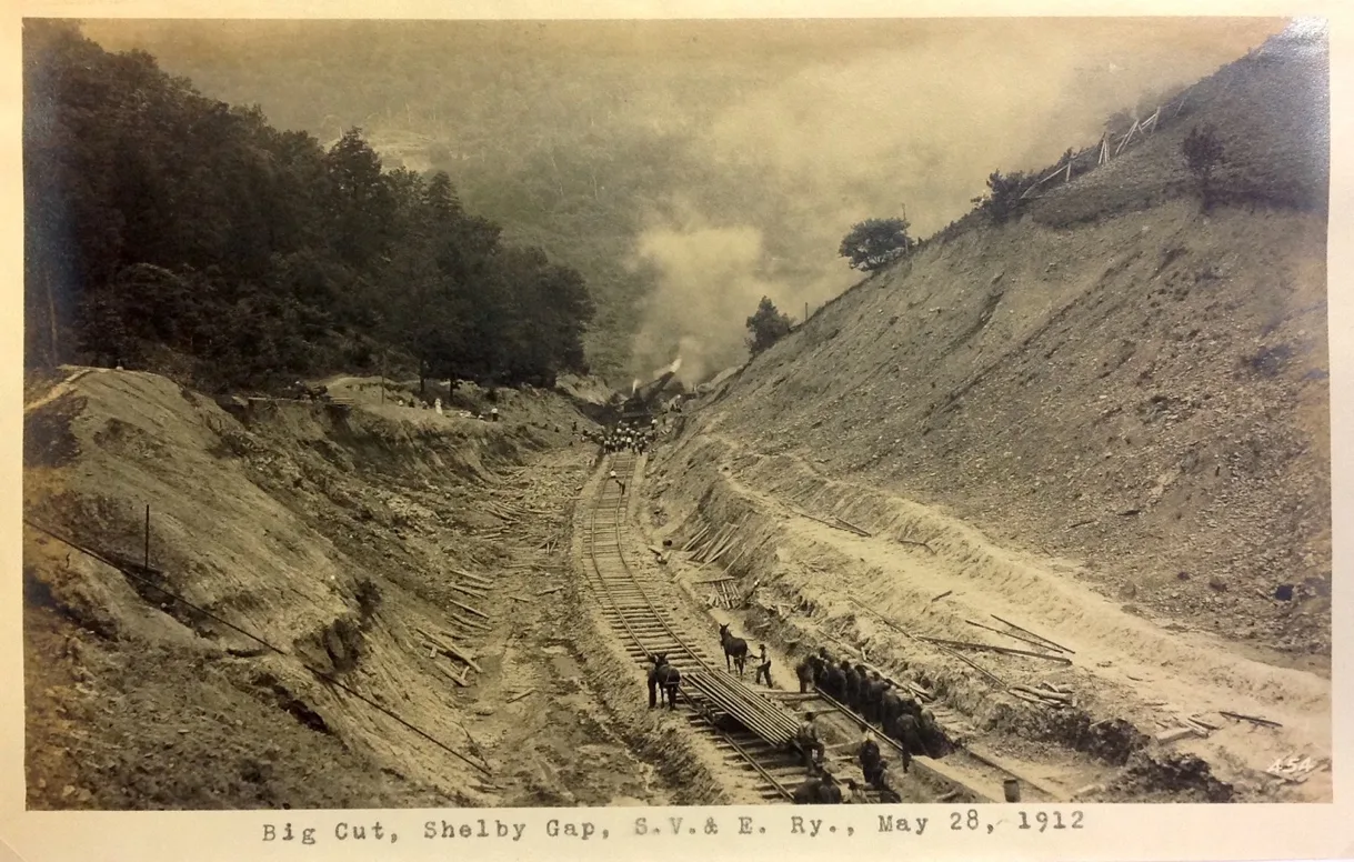
Shelby Gap Junction
This Fenn shifter is bound for Bethlehem Mine 26 4 miles down Elkhorn Creek
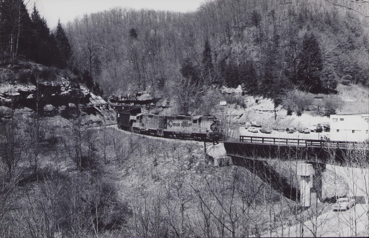
[GP7 5826 and GP9 6139 snakes a train AEPX empties through Shelby Gap Junction, Everett N Young Collection]
Mine 26 Sub-Division
Shelby Gap Coal Co. (Wagon Mine)
W.M. Burke Coal Co.
Clintwood Elkhorn Coal Co.
Marshall Branch Coal Co. (Wagon Mine)
Adamson Coal Co.
Huntington By Products Coal Co.
Burdine / Jenkins
Consolidation Coal Co. 201
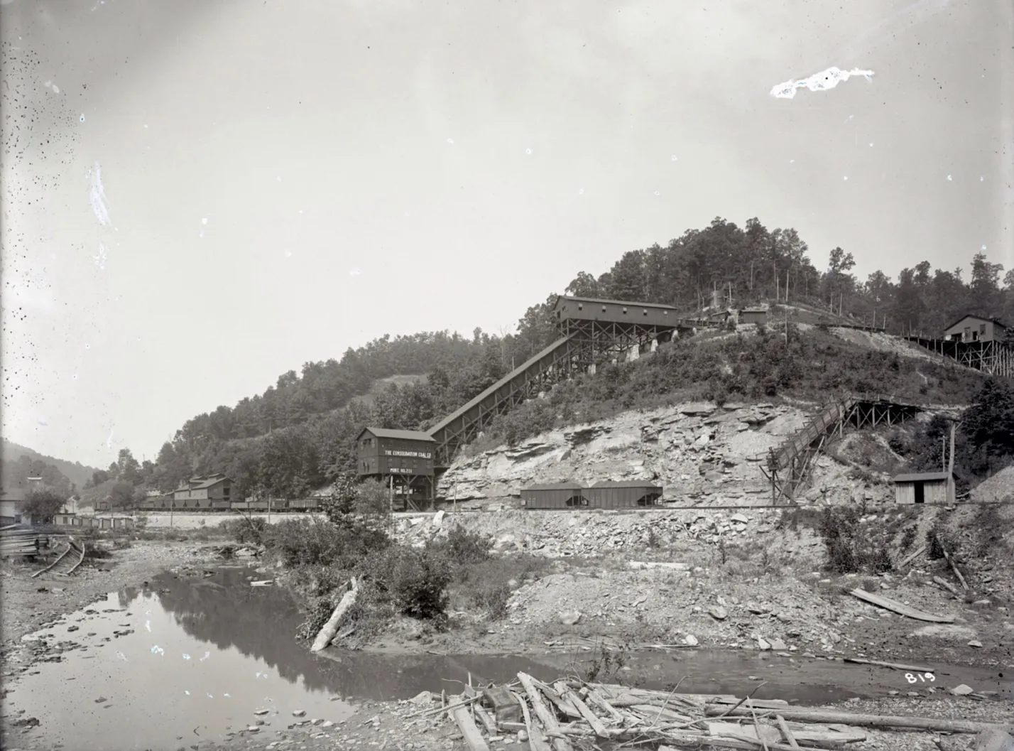
Consolidation Coal Company Mine # 201, September 9, 1913. Jenkins Library
Consolidation Coal Company, Mine 201
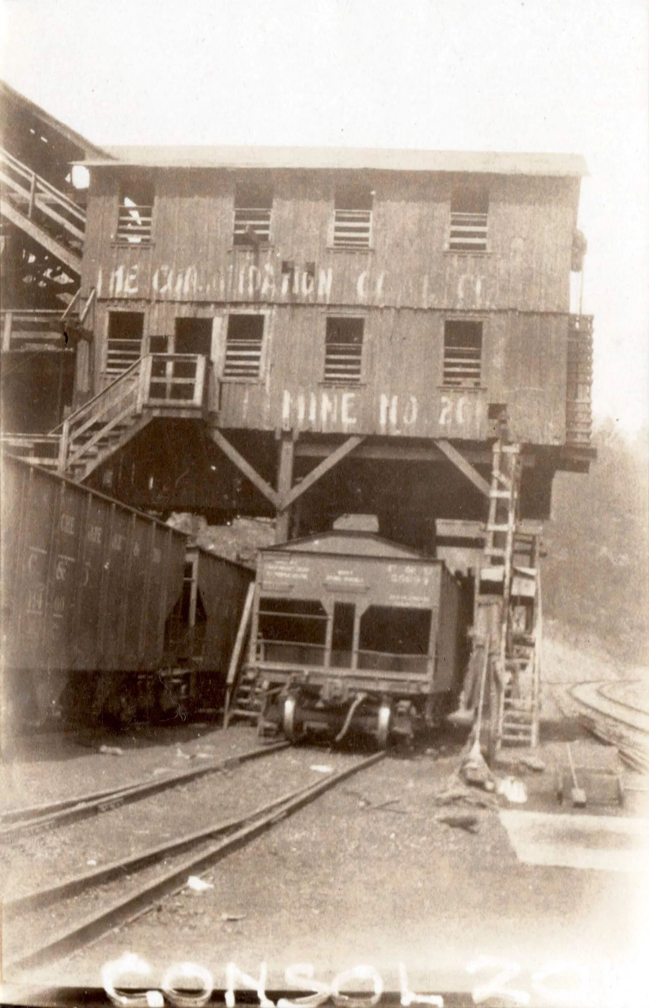
Mile post 25.1 [cohs- 46359] 1929
Burdine Coal Co. (Wagon Mine)
Consolidation Coal Co. Mine 202
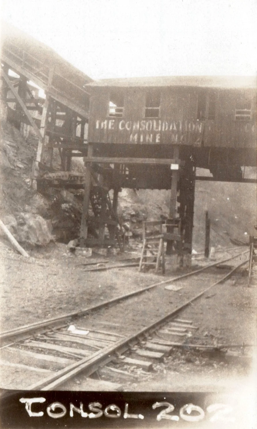
Mile post 26.0 [cohs-46360] 1929
Elkhorn Collieries Co.
Consolidation Coal Co. Mine 203
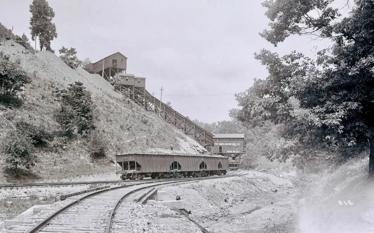
Consolidation Coal Company Mine # 203, September 22, 1913, Jenkins Library
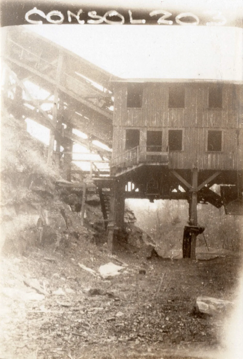
Mile post 26.6 [cohs-46361] 1929
Consolidation Coal Co. 204
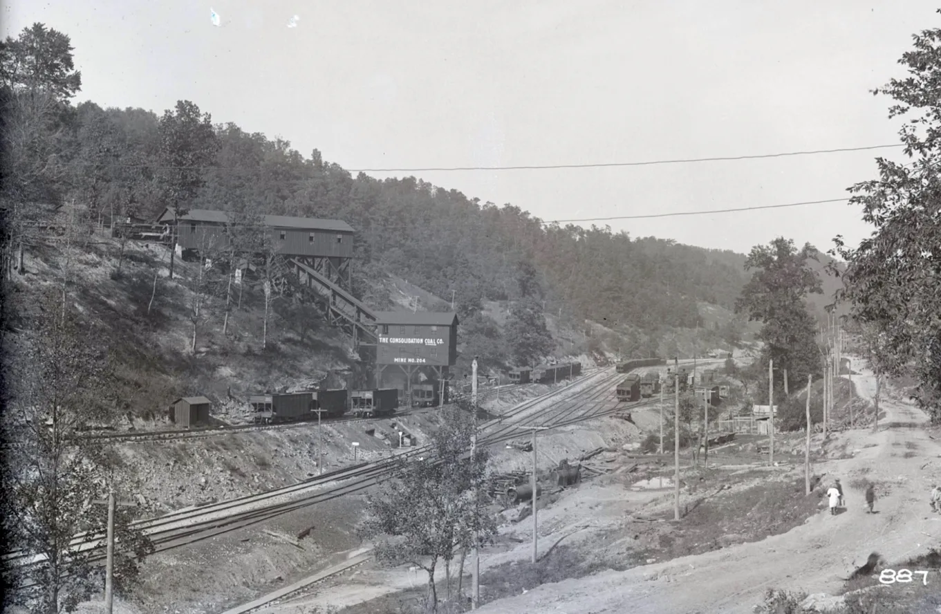
Consolidation Coal Company Mine # 204, September 22, 1913, Jenkins Library
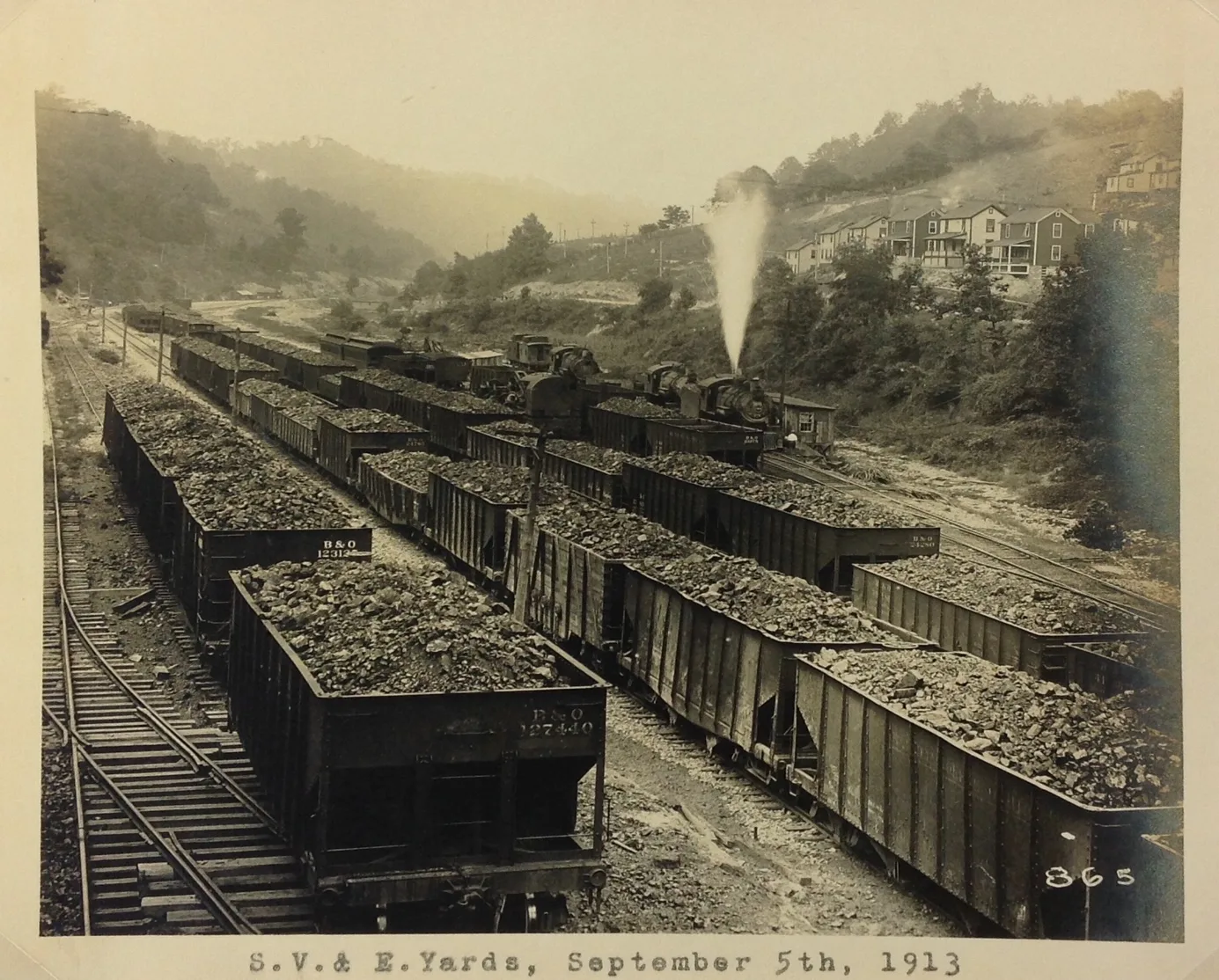
–
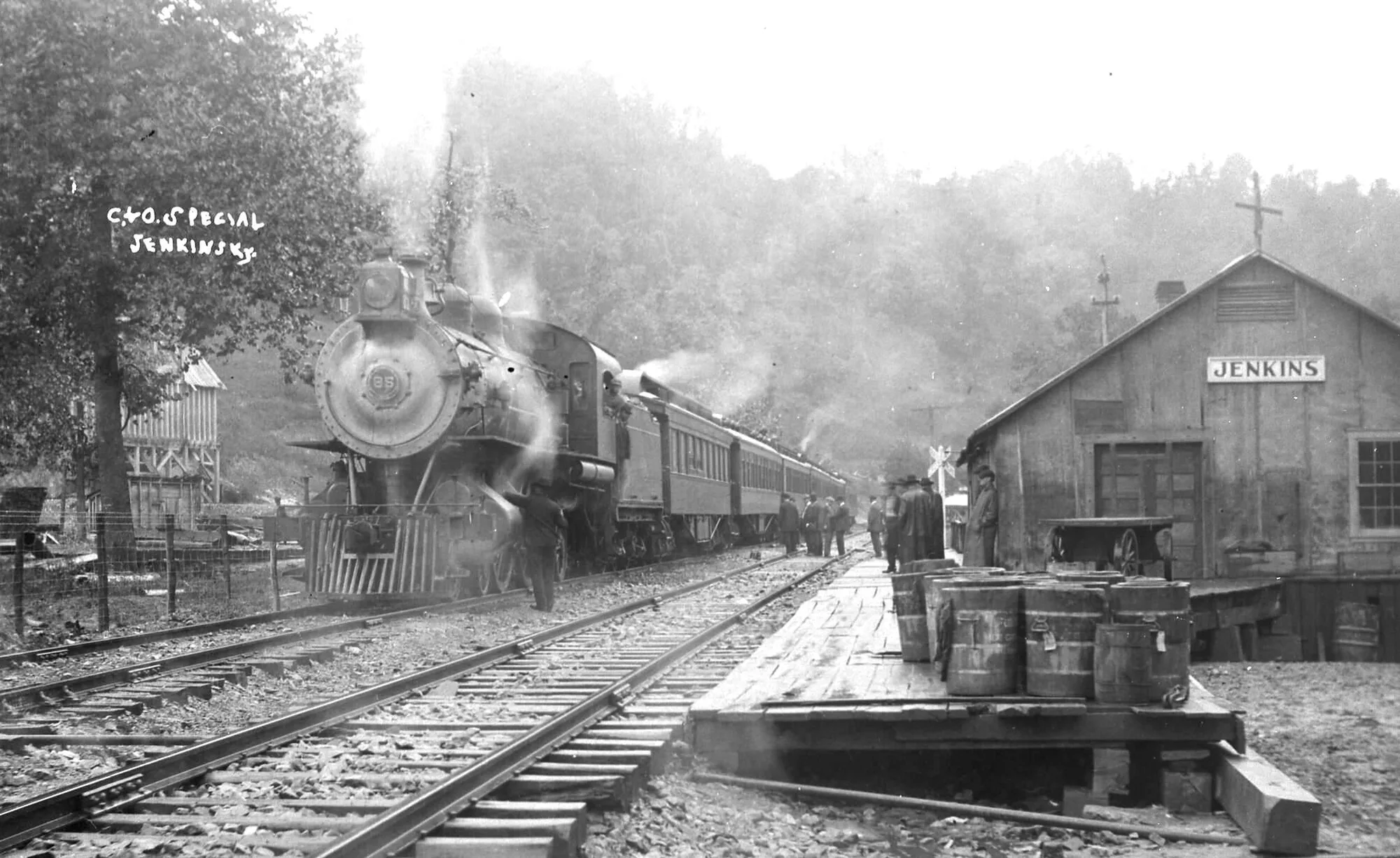
– Jenkins Freight Station, C & O Steam Engine, A 16 # 85 Passenger Train [cohs-5355] 1925
Consolidation Coal Co. Mine 205
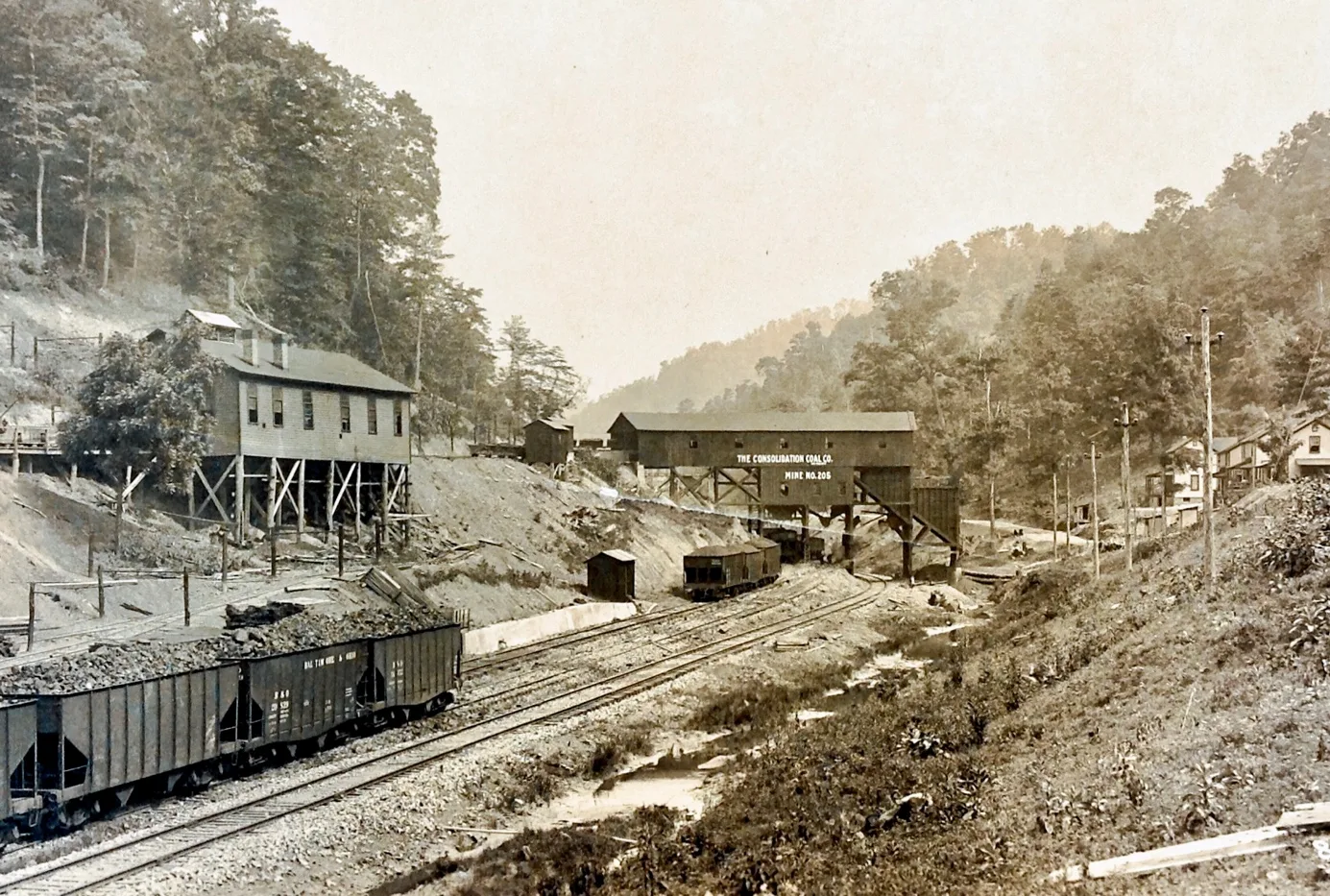
Consolidation Coal Company Mine 205, September 9, 1913, Jenkins Library
–
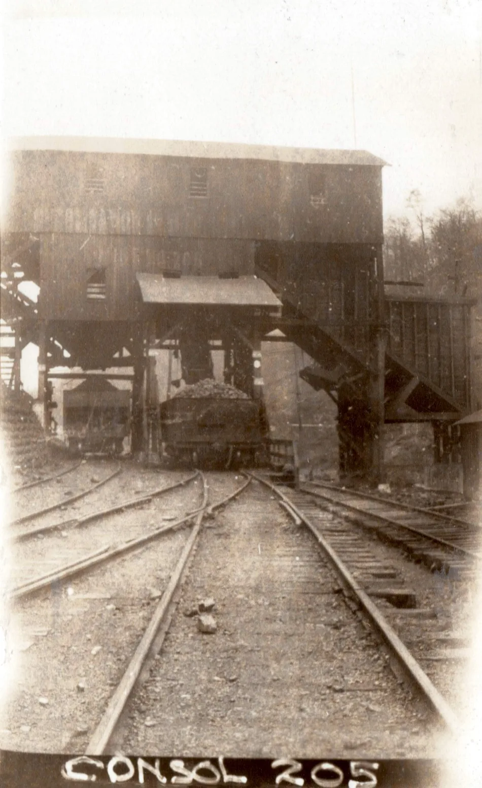
Mile post 28.5 [cohs-46362] 1929
Consolidation Coal Co. 206
Consolidation Coal Co. 207/208
The New Cavelier Coal Tipple, July 1942
The first coal is going, this week, through the big new million-dollar tipple at the No. 207 mine in Jenkins, one of the most modern, up-to-date, and expensive tipples in the entire country.
All the coal from the various mines will go through the big structure, it is understood. The entire building is built of steel.
A large number of mine heads of the Consolidation Coal Co. attended the regular monthly meeting of the Big Sandy Elkhorn Mining Institute at Pikeville Friday night. F. M. Correll of the Safety department, as well as other Jenkins coal head a made address. The mines here have a fine safety record when the large number of men employed is considered.
[The Daily News, July 30, 1942]
______________________________________________________________________
Consolidation’s New Tipple Is Completed
Modern Structure is Largest in Nation, Built at Cost of Over Million Dollars
Then expenditure of lavish millions by The Consolidation Coal Company in the development of Jenkins in 1911-12 proved their ultimate faith in the Elkhorn coal field. Just so last year when plane were laid for the construction of the country’s largest, most modern and complete tipple at No. 7, mine in Jenkins, now practically complete, in every detail, through which millions of black diamonds, in prepared sizes, clean as coal ear be made, are being loaded into coal gons, and shipped to the big marts of the country, a large part of which is used in the big, throbbing Defense plants, widely located in the four corners.” Thus, it can be said that Elkhorn coal and that produced by the Consolidation Coal Co. will go far toward helping with the war.
And it is doubly true, too. that, long years before The Consolidation touched the magic wand of the money coffers of Wall St.-years before steel bands brought the B. & O. up the Big Sandy-that super value of Elkhorn coal was realized fully. Eren the mind of the late invincibility, John C. C. Mayo was thoroughly in evidence when the country school pedagogue worked the first acreage of Elkhorn coal and interested New York money kings to this inviting field. Then Jenkins, perhaps the peer of any mining town anywhere, was placed-usen the map, and the Consolidation Coal Co. became active as producers of the Famous Elkhorn Coal.
The Fairmont Machinery Co. Fairmont, W. Va. constructed the tipple, and it was completed as dearly as expected, in as much as the contractors experienced considerable trouble in obtaining material at different times, which delayed the work to a marked content. But today the giant structure, almost filing the narrow valley of the Elkhorn, attracts the eye of every traveler whiling over the highway towards Whitesburg.
Unlike anything so far concerned, when modern methods of production, preparation, etc.is considered, the big new tipple fills a place unique within itself. It has no equal It is unsurpassed. Here every imaginable brand of coal any market could want even when the demand is vacant and the markets low, can be produced, and with two modern, well-equipped washers, the coal cleaned perfectly. It rolls into the coal gons as clean as a brand-new pin. In that manner it the markets. With this equipment paramount and so much superior; to most coal companies there is most assuredly a bright future looming for the enterprise and thoughtfulness of The Consolidation in equipping 1 with such modern, up-to-date facilities.
In line with coal production, heads of the company, of course. have prepared close figures in operating cost actual costs that are retained in loading all the varied grades. Improved modern methods will go from the time the product is loaded into the mine cars until it is dumped into railroad gons to make the cost at production as low as it clean as possible. But perfectly clean coal will always be the objective, with prepared sizes to fit perfectly any market, at any time.
While no definite announcement has been made as to the ultimate capacity that is expected loaded gons, it is believed that anywhere from three to four hundred gons daily capacity will be reached in the near future. Ample trackage is complete.
Long hauls, from the mines to the tipple is seen for the future in as much as wide areas extending back well down Long Fork in Pike Co. are to be tapped.
This property was purchased many years ago. Already a good part of the coal is carried twelve or thirteen miles, some perhaps more. At the same time areas north toward Beaver Creek are being reached, with possibly equal hauls. And it is safe to predict with the completion of this modern, well-equipped tipple The Consolidation will be producing coal for many, many years to come.
[The Daily News, September 24, 1942, p 8]
Dunham Tipple
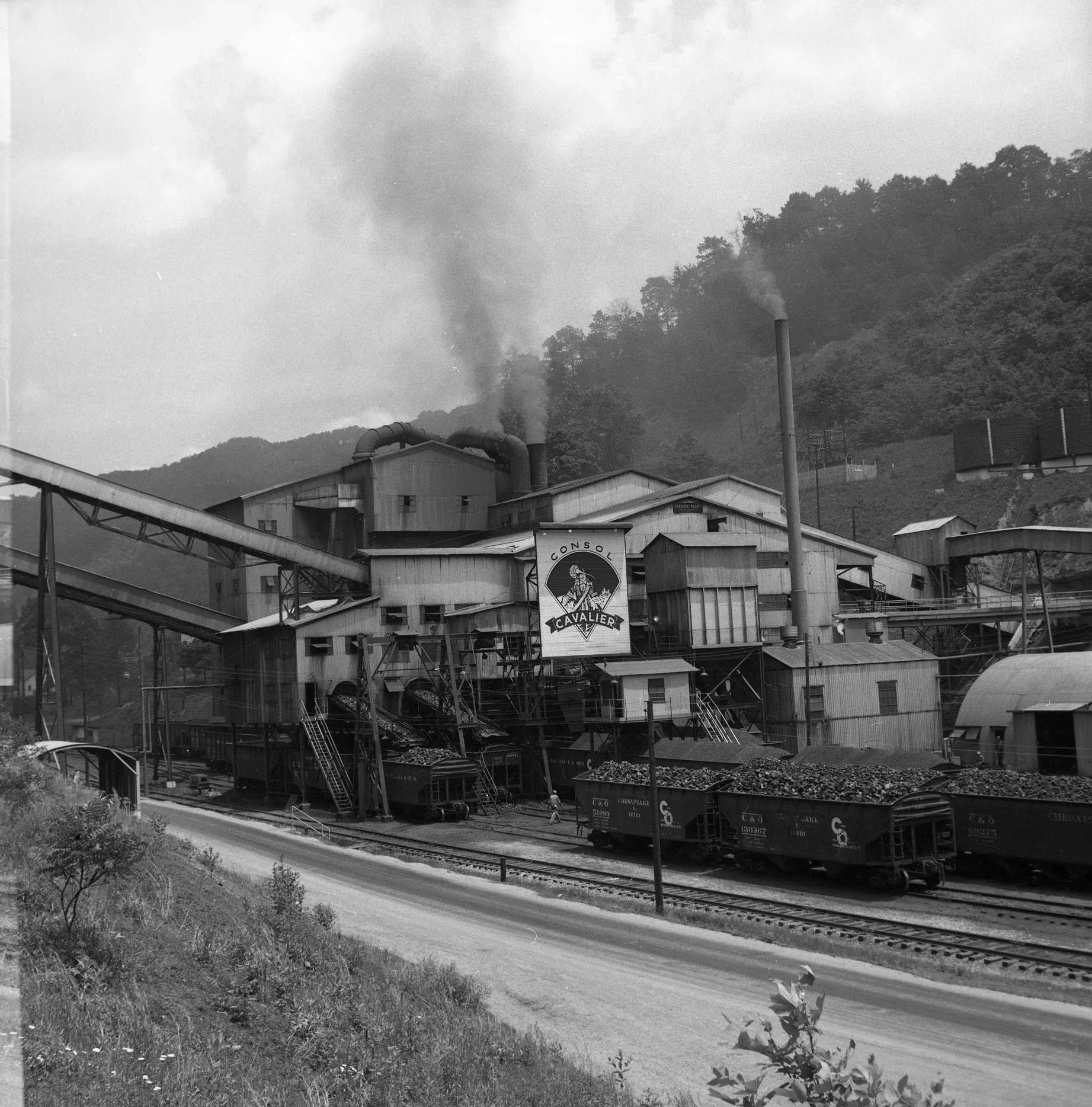
[cspr-3349]
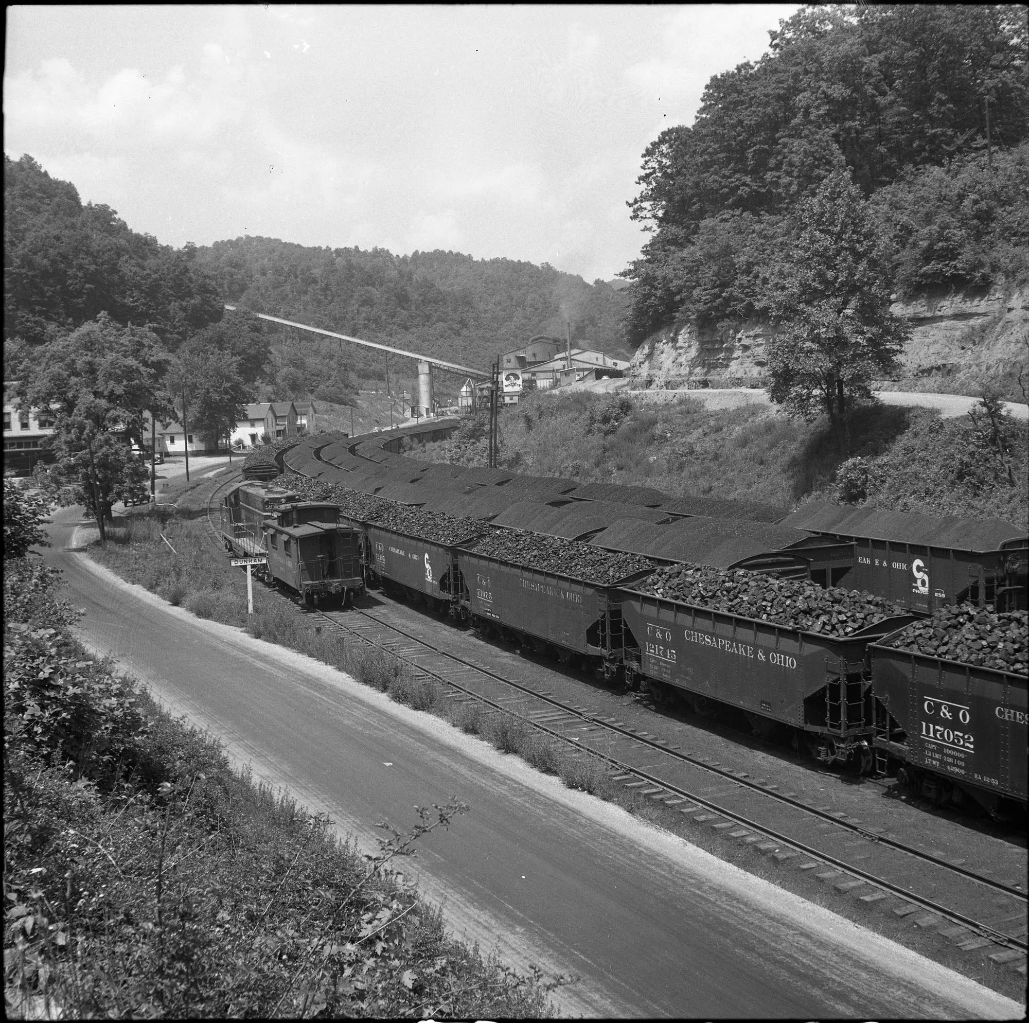
[cspr-3363]
Meade Sub-Division / Sandy Valley & Elkhorn Railroad Extension
C & O to top Ky Coal Field
News ; Construction of a single-track, standard-age line, extending 22.5 miles south of Wayland, Ky., to coal lands in Letcher County, Ky., will be started soon by the Chesapeake & Ohio Railway, President Robert J. Bowman announced today.
Contract for all grading, masonry and drainage in connection with the extension has been awarded to the Codell Construction Co. of Winchester, Ky., Mr. Bowman said. The extension, estimated to cost $4,221,000, was sought by the Pittsburgh Consolidation Coal Co., Inc., of Pennsylvania and certified by the Interstate Commerce Commission last January 24. The ICC certification stipulated that construction start no later than May 1 of this year and be completed by September 1, 1948.
The new line, connecting with the C. & O.’s Elkhorn and Beaver Valley sub-division, will serve an area of 58 square miles in Floyd, Knott and Letcher counties, Ky. It is estimated this area contains nearly 200,000,000 tons of recoverable coal. Pittsburgh Consolidation Coal Co. controls approximately 35,000 acres of coal lands in Knott and Letcher counties, and it was in connection with the proposed development of this acreage that the company asked the C. & o. to extend its line. Production in this area is expected to aggregate 1,500,000 tons per year by 1951-1952 and increase over the next five years to 2,000,000 tons per year.
According to the application filed with the ICC, the single-track line will extend from Wayland to a point near the forks of Indian Creek. The tipple of the proposed mine to be available, will be located near the mouth of Razor Blade Branch of Rock House Creek in Letcher County, the application said.
The Meade Sub=Division Extension, is the second extension to be undertaken by the C. & O. in coal areas in the past year.
Construction of a 14-mile extension from Jenkins in Letcher County, Ky., to Wise County, Va., begun last July to serve coal fields in Wise County, Va., is scheduled for completion by November 30, 1947. Cost of this extension was estimated at $2.775,000, including the boring of a 3,650-foot tunnel through Pine Mountain on the Kentucky-Virginia border. The east portal of the tunnel is in Wise County, the west portal in Letcher County.
The line runs through the vicinity of Almira and Pound, Va., to a tipple location of the Clinchfield Coke Corp. on Meade Fork. This operation is expected to yield more than 1,000,000 tons of bituminous coal yearly when fully developed. Tunnel work is being done by the Western Construction Co. of St. Louis and Codell Construction Co. handled the grade work at the Jenkins end.
Bath County News-Outlet, March 13, 1947, p 2
Work Started on Railroad from Jenkins to Pound
On Monday morning, June 24,1946, work was started on the C& O. Railroad that is to go across the Cumberland Mountains from Jenkins to Pound, Va. The work started at the end of Goodwater St., where a road was built into the Mountains above Good-water Dam to the portal of the tunnel. The portal will be completed in twenty-six days. Then work will begin on the tunnel which will start in the Kentucky side of the mountains and come out on the Virginia side. Many huge pieces of machinery are being used in the work. The work and huge pieces of machinery are causing much excitement in Jenkins. Each day many spectators view the work. The railroad will be finished by August 1947.
The Mountain Eagle Newspaper, July 4, 1947, p 1
Virginia side of the Meade Tunnel
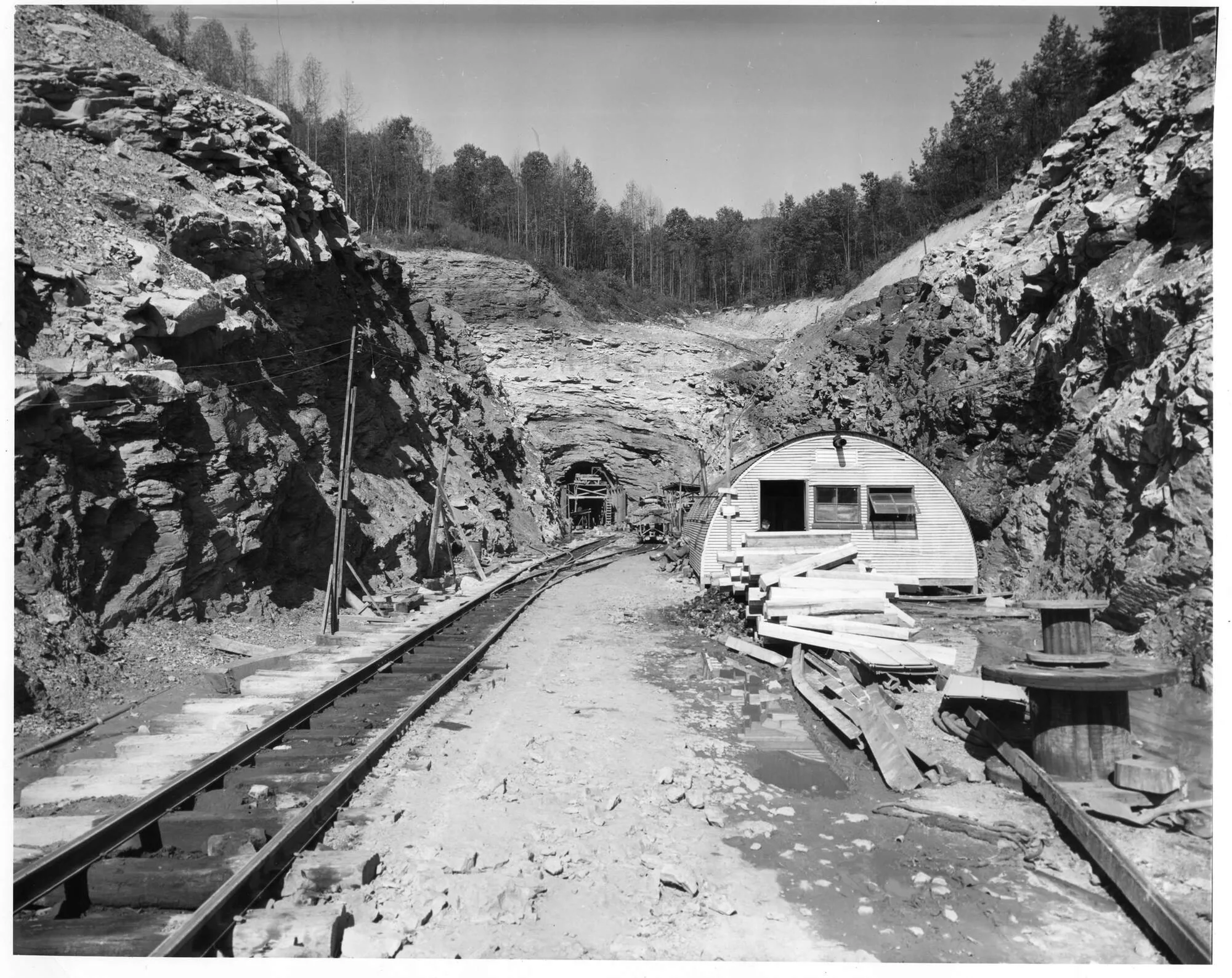
Sandy Valley & Elkhorn Extension, [cohs 50444]
Sand Hog or Tunnel Mucker
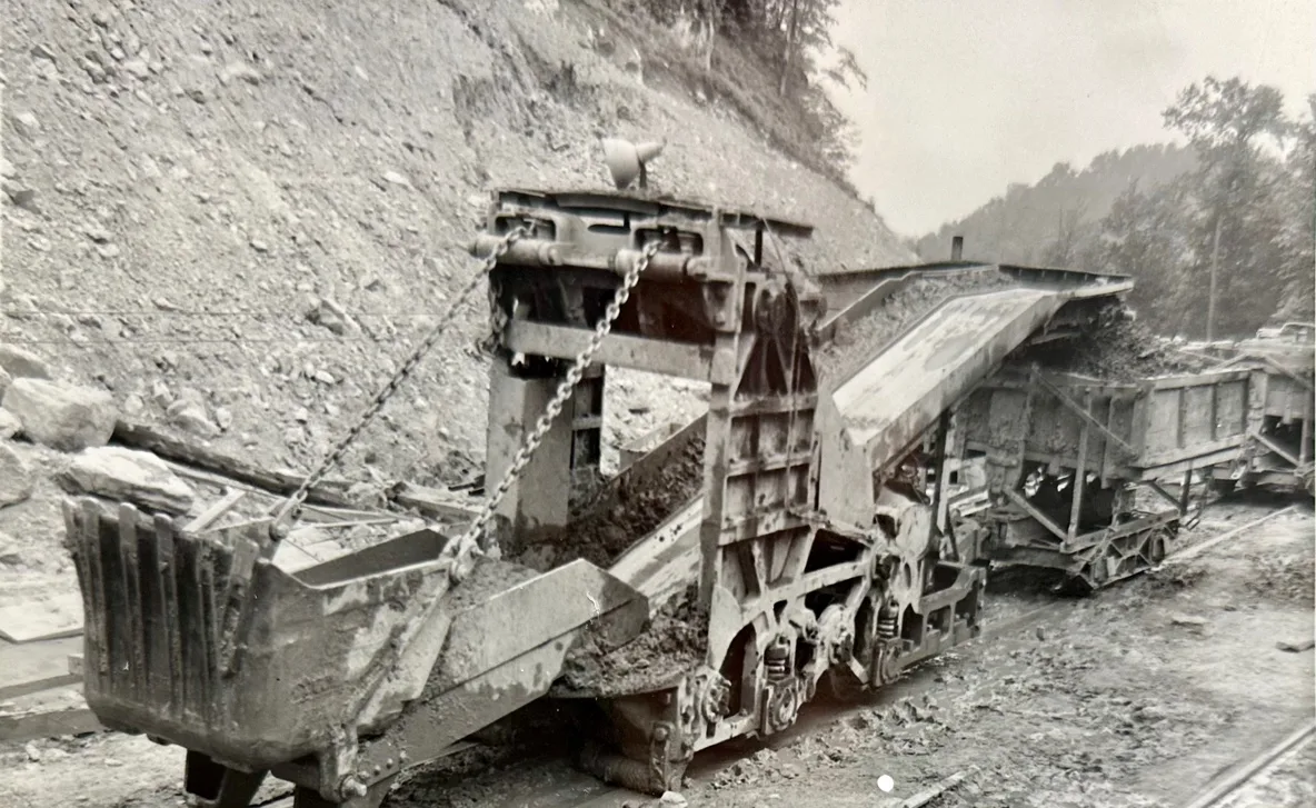
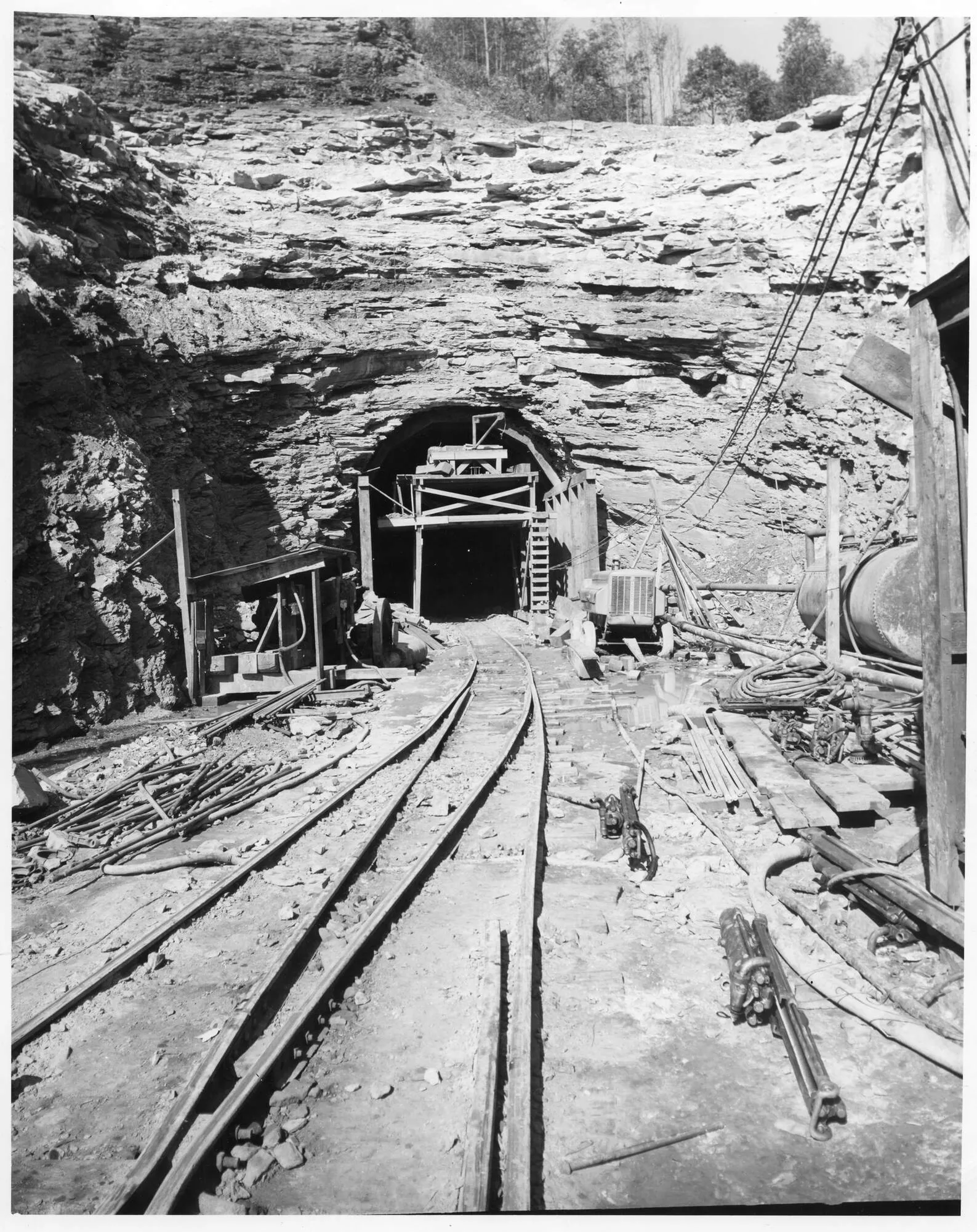
[cohs-50445]
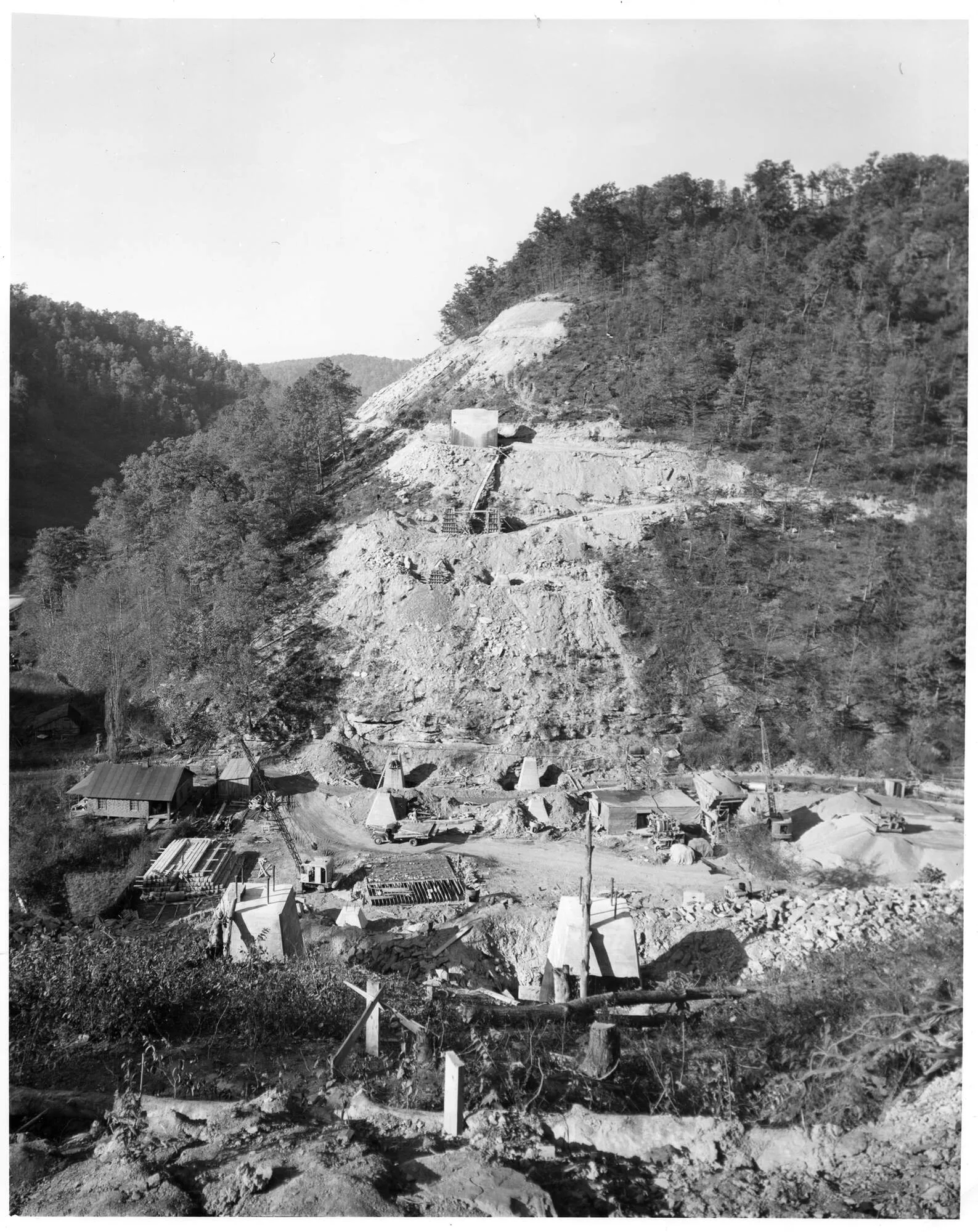
[cohs-50472]
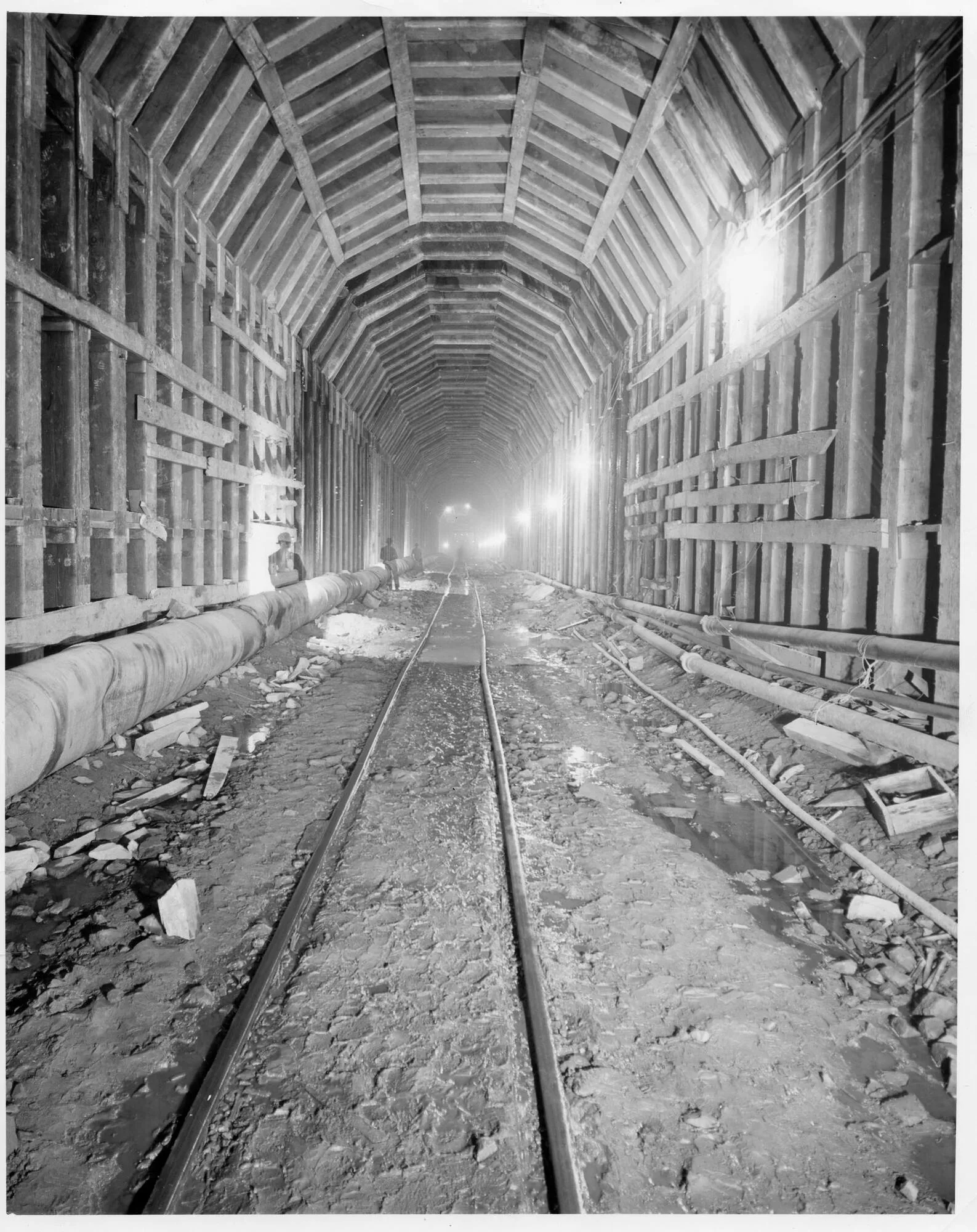
[cohs50446]
January 22, 1948, Railroad Tunnel Nearing Completion. After two years of construction in the Pine Mountain Tunned, the project is rapidly being completed. The Western Construction Company of Sioux City, Iowa who have been excavating the tunnel are now preparing the tunnel for the track which will be laid next month. Most of the track on the C&O. Extension has been laid on both Kentucky and Virginia sides, with the line judged among the most crooked in the entire county. Coal will soon be moving over the new line from the coal fields in Wise County, Virginia. [ The Mountain Eagle Newspaper, page 10]
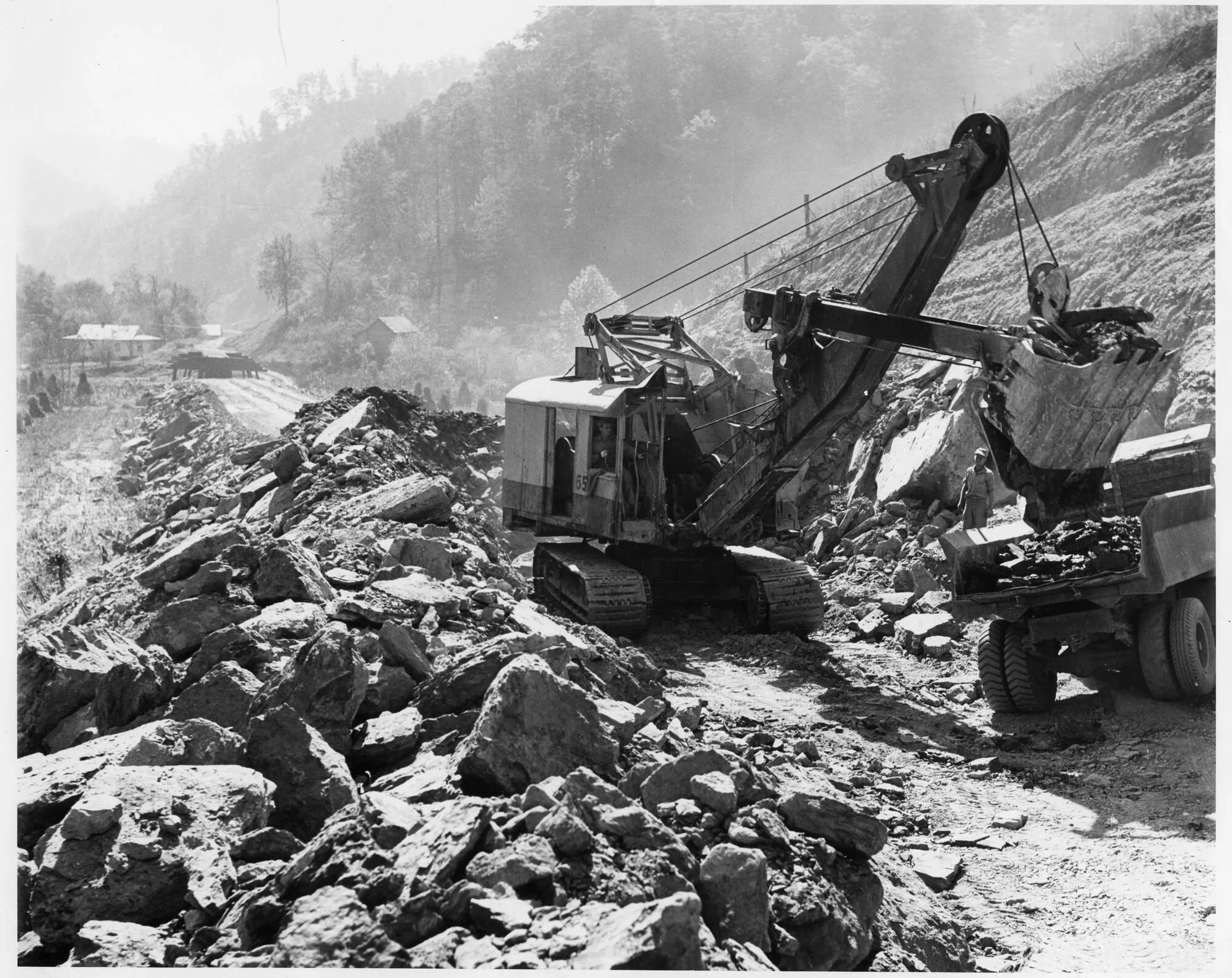
[cohs 50451]
Jenkins, – Jan. 24 — Construction engineers today signaled the completion of the biggest engineering project ever undertaken in Eastern Kentucky. It will tap rich coal reserves in the Upper Pound River Valley of Wise County, Virginia.
A hole has been punched through mile-high Pine Mountain. And the first Chesapeake and Ohio Railway train is expected to negotiate the tunnel and torturous 16-mile railroad link with the line’s Big Sandy Valley division on Tuesday.
Charles Conrad, veteran superintendent of construction for the Western Construction Company of Sioux, City, Iowa, said that the laying of track to finish the link is being rushed. Several weeks of work remain, however, to put the last touches to the job, which has been nearly two years in construction – some six months more than was expected due to unfavorable conditions.
Conrad, who supervised construction of the metropolitan water project in Los Angeles, and the New York aqueduct, among other major tunnel works in many states, indicated that the Pine Mountain project was one of the toughest in his experience.
Meade Tipple, Clinchfield Coal Co.
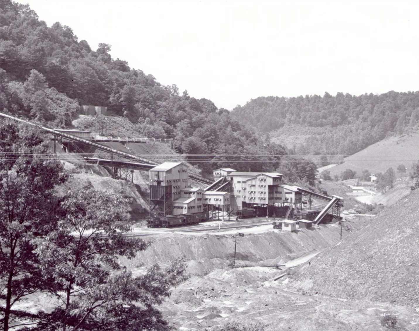
[Clinchfield Coal Co., CSRP 10057-8, 1954]
End of Line
Continuation of the Big Sandy Railway Sub-Division from Shelby Yard
Sutton
Upper Greasy Creek Sub-Station
The Sutton Spur coming off Big Sandy Railroad
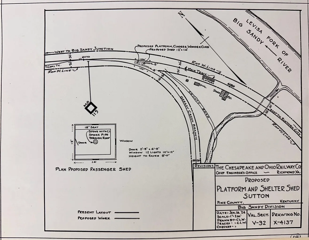
[Blueprint Courtesy C & O Historical Society]
Greasy Creek Junction-Greasy Creek Railroad Sub-Division
The Chesapeake & Ohio constructed a line of railroad from Greasy Creek, Ky 2.57 miles under an agreement with Kinne Steel Company. Construction was completed July 1927 and Greasy Creek Sub-Division was officially retired August 1942
[C&O Corporate History, Annual Reports]
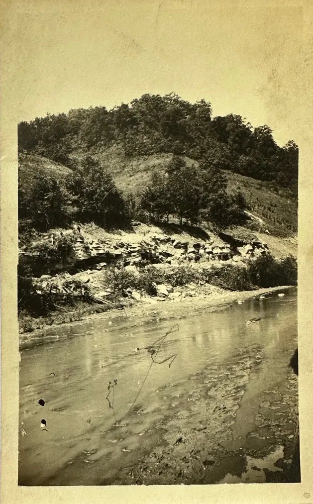
Greasy Creek Railroad Sub-Division
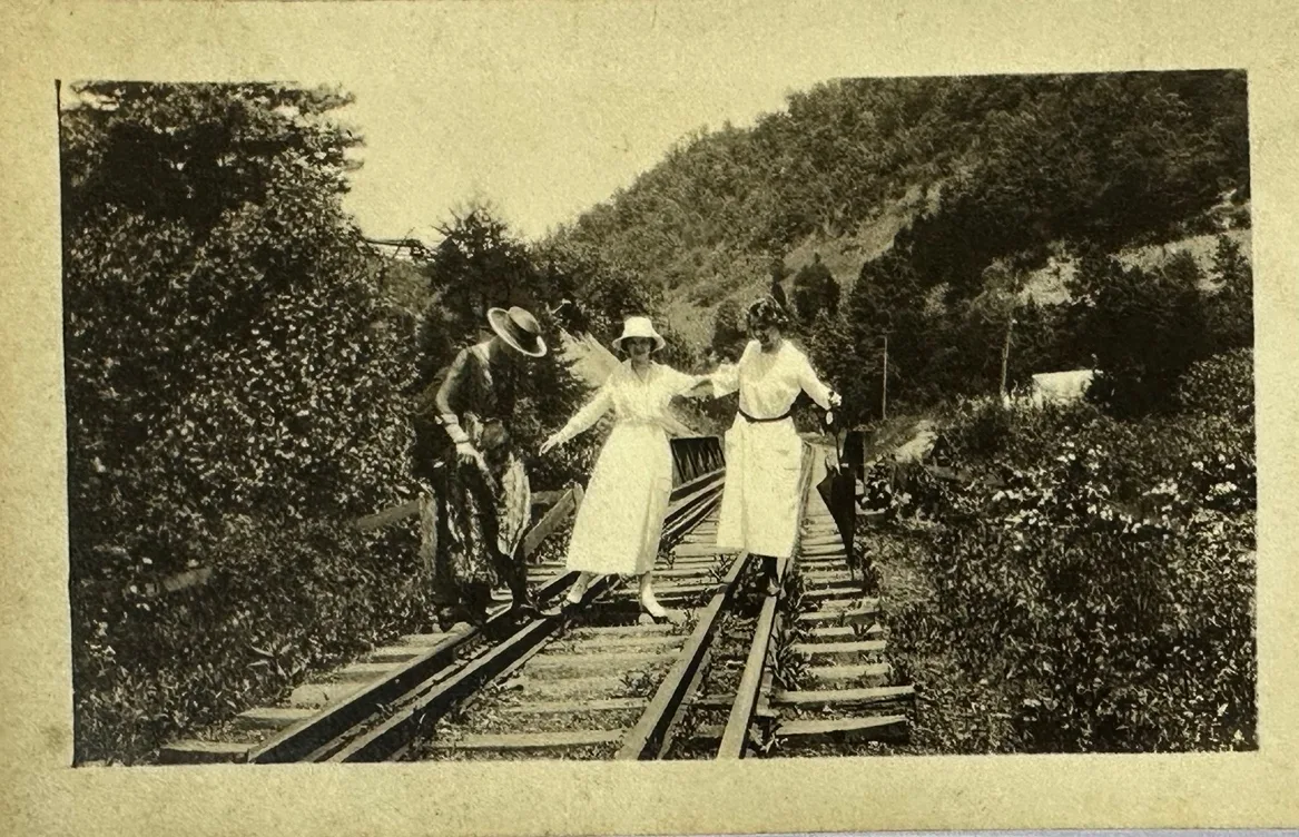
McKinney Steel Company Mine on Greasy Creek
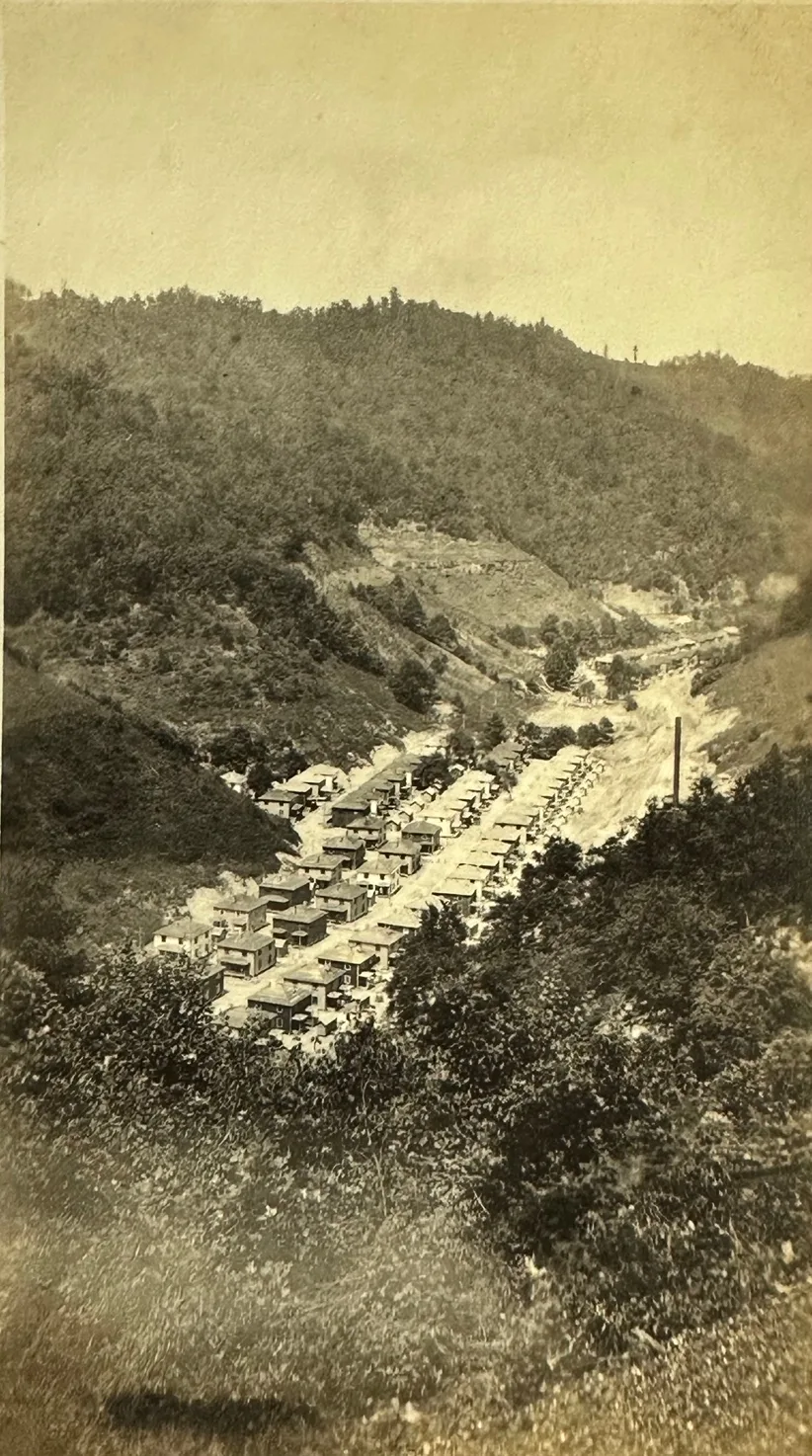
McKinney Steel Company Mine on Greasy Creek showing Coal Camp Housing and Construction of a New Powerplant
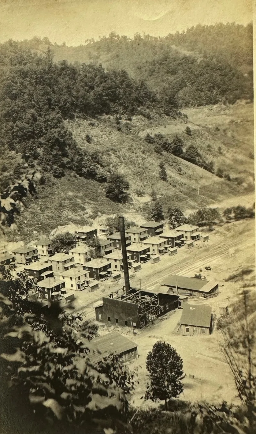
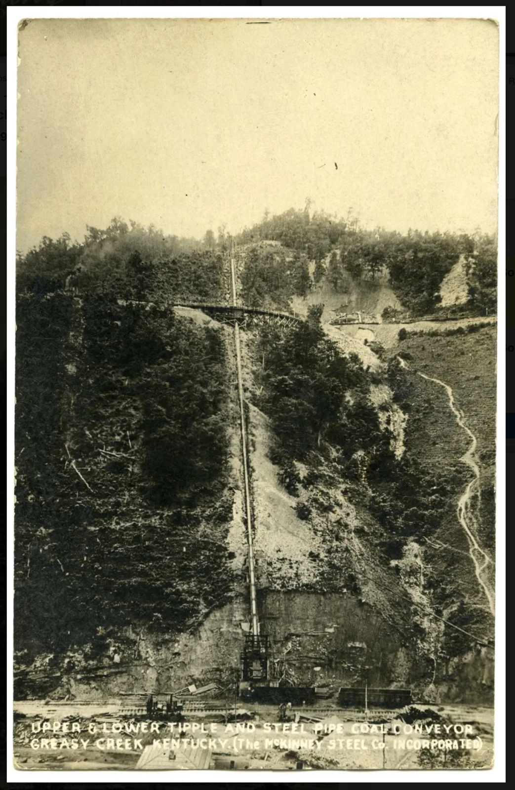
Levisa Sub-Division of the Big Sandy Railway
The Chesapeake and Ohio Railroad Levisa Subdivision was a 22.7-mile coal-hauling line that connected Millard to Dunlap, Kentucky. The Levisa River Railroad (LRR) was incorporated in 1911, and on September 21, 1929 [ The Daily News, September 3, 1929, page 8], the Chesapeake & Ohio Railroad (C&O) applied to the Interstate Commerce Commission (ICC) for permission to build a 28-mile line up the Levisa Fork from Millard to the Virginia state line. Just a few miles of grading were completed in the vicinity of Millard. Every few years, the C&O would return to grade a few more miles to satisfy the requirements of the charter which required that the railroad begin construction of the line within five years and be completed within a reasonable amount of time.
In 1931, the Norfolk & Western Railway (N&W) completed their Buchanan Branch from the Tug River at Devon, West Virginia to the Kentucky border along the Levisa Fork. Facing the prospect of losing the LRR’s charter, in October 1942 the C&O requested and was granted an extension by the ICC until December 31, 1944, for the completion of their Levisa Fork line.
Playing hardball, the N&W made an application in 1943 to build a 11-mile extension from the Kentucky border to Hunt’s Branch generally along the same right-of-way that the C&O had surveyed along the Levisa Fork, and requested to the ICC that the LRR’s charter be suspended, citing that the LRR had never been constructed and that the C&O was merely grandstanding to prevent the N&W from entering the state. Despite the C&O completing the grading from Millard to the Virginia border in the winter of 1943, the ICC revoked part of the LRR’s charter in May 1944 to allow the N&W to purchase nine miles of the graded roadbed from the Kentucky border to the mouth of Second Fork of Big Creek.
Shortly after, the Haley, Chisholm & Morris Construction Company began work on the remaining nine miles of the LRR from Millard to Big Creek, which included the erection of a temporary wood trestle over the Levisa Fork for the movement of building materials.
Upon completion in January 1945, the LRR was operated by the C&O as the Levisa Subdivision and connected from the C&O’s Big Sandy Subdivision at Millard to Dunlap. There were initially five mining operations:
Milepost .5: Mountain States Coal Corporation’s Millard No. 6 Mine, which was a tipple that was loaded by truck.
At Millard, a new preparation plant at Sloans Branch erected by Clark Elkhorn in 1983-84 centralized the loading of coal on what remained of the Levisa Subdivision which was referred to as the Pompey Spur. By 2005, the tipple, then owned by ICG Knott County, was inactive and the spur was used for car storage. A new batch loadout was built by Louis Dreyfus Highbridge Energy in 2011 with a capacity to blend up to three million tons of coal per year. It never met production quotas and the loadout was closed in 2015 and demolished in 2017. The last of the Levisa Sub-division Track from the loadout to Levisa Junction was removed in 2021.
Coon Creek Sub-Division
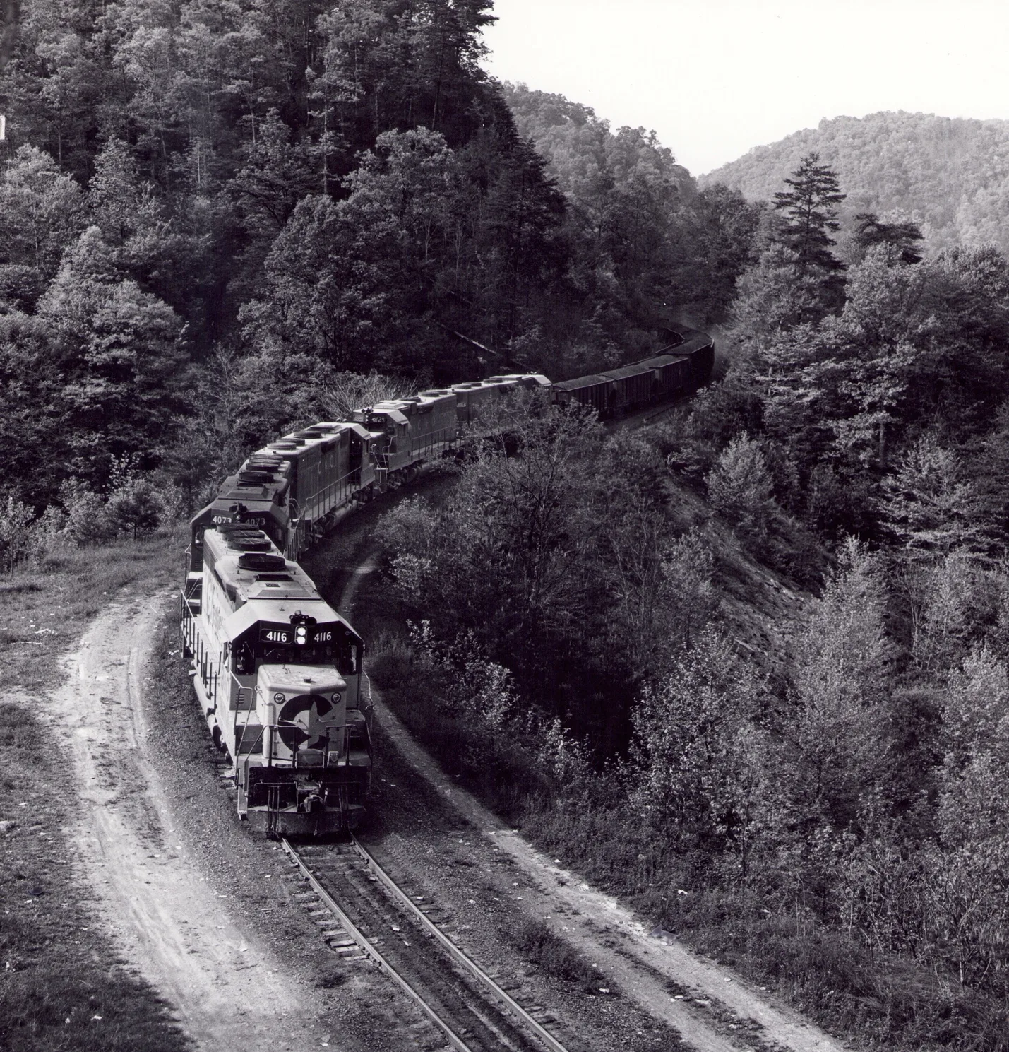
[Everett N Young Collection]
The Coon Creek Subdivision began a 4½-mile climb, starting from the Levisa Sub-Division at the mouth of Pompey Creek, traveling up the valley to a deep cut at the top of Pompey Mountain aptly named Apex. The torturous route had 3% grades and a tight horseshoe curve. The line then descended for 8½-miles down Coon Creek to a yard at Winns Branch which included a sanding facility and an office trailer that doubled as a crew shelter.
It became Johns Creek Subdivision at mile marker 14 and turned to follow Johns Creek for 3.13 miles before terminating at a McCoy Elkhorn mine at Simers. [Abandoned Railroad line]
The Wreck of 1971
The Apex Mountain route of the C&O Coon Creek-Subdivision had it’s difficulties from J.C. Junction up Pompey Creek to Apex, over Pompey Mountain
The Pompey Mountain Train Derailment of January 6, 1971. This is the most significant train wreck of 1971.
Engineer Jackson Weese was operating a C&O coal train in mountainous Pike County. The train climbed to Apex with three pusher locomotives. After reaching the crest, the pushers were uncoupled. The operating procedure required the train to stop at a “fifty-car marker” so the retainers could be set before the final descent.
The train failed to make that stop, gained speed, and derailed on a curve. Engineer Weese was killed and was found in the wreckage. The circumstances were subsequently litigated in Weese v. Chesapeake & Ohio Railway Co., 570 F.2d 611 (6th Cir. 1978).
The court record is especially valuable because it positively connects the accident with Apex, the steep mountain grade, the pusher locomotives, the fifty-car marker and the descent.
OPINION
FRANK GRAY, Jr., Senior District Judge.
Defendant Chesapeake & Ohio Railway Company has appealed the Judgment rendered against it in this Federal Employers’ Liability Act case following a jury verdict for plaintiff.
Plaintiff’s decedent, Jackson Weese, was an engineer employed by the defendant railroad. In the early morning hours of January 6, 1971, he was operating the lead locomotive of a coal mine train that was making runs in mountainous Pike County, Kentucky. On the run in question, Mr. Weese’s train climbed a steep grade to a place called Apex and began its descent down the other side of the mountain. The train required the assistance of three pusher locomotives to reach Apex, but, since this extra power was not needed for the trip downhill, these engines were uncoupled when they reached the crest, at which time Mr. Weese’s locomotive, some thirty-five car lengths in front of the pusher engines, had apparently started the descent.
On a normal run on this stretch of track, an engineer was required to stop at a specified place known as the “fifty car marker” to allow retainers to be set for the final descent down the mountain. On the occasion in question, however, Weese’s train failed to stop. Instead, it continued to gain speed and eventually derailed on a curve, although a brakeman attempted to apply the emergency brakes. Mr. Weese was found dead in the wreckage.
No autopsy was performed on Weese’s body, but the County Coroner, an undertaker, determined that Weese had suffered a crushed chest and massive internal injuries. He then issued a death certificate to that effect.
After leaving the entrance of the Coon Creek Sub-Division known as the Pompey Spur the railroad continues up the River Levisa
Milepost 4.2: Pompey-Winifrede Coal Company’s Kem Mine.
Milepost 12.3: Shelby-Elkhorn Coal Company’s Rowe Mine.
Lick Creek
Milepost 20.2: Berwind-White Coal Mining Company’s Kentland-Elkhorn Mine along Big Creek at Dunlap, which was built in 1945 and put into operation in June 1946. It had a production capacity of 5,000 tons or 100 rail cars daily and was one of the largest coal mines in the county.
[Abandoned Railroad line]
Dunlap, Ky. Kentland No1 Tipple
Berwind-White Coal Mining Company’s Kentland-Elkhorn Mine along Big Creek at Dunlap, which was built in 1945 and put into operation in June 1946. It had a production capacity of 5,000 tons or 100 rail cars daily and was one of the largest coal mines in the county.
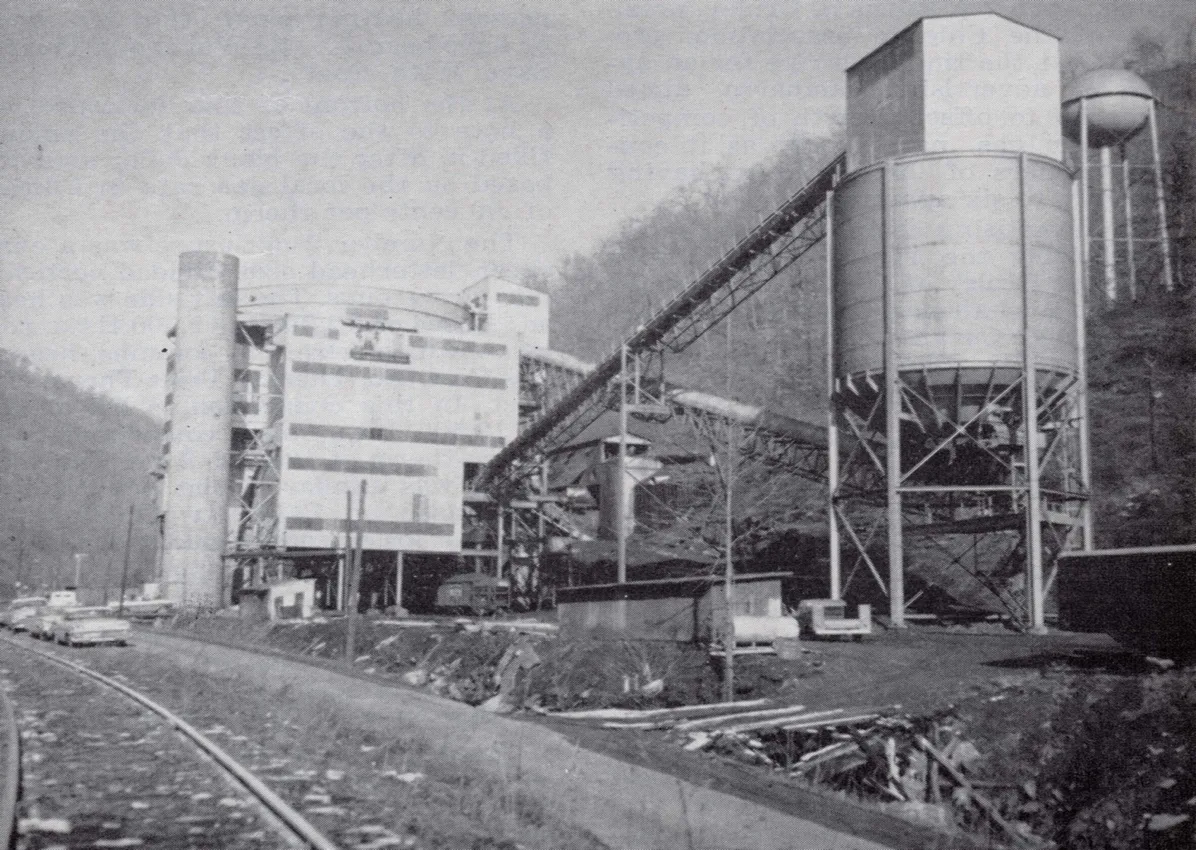
Levisa Railroad Sub-Division mile post 20.7, [cohs-46351] 1959
The impoundment of the Levisa Fork of the Big Sandy River by the United States Army Corps of Engineers to form Fishtrap Reservoir in 1968 forced the C&O to abandon a significant portion of the branch from Pompey Branch Creek to Millers Creek in 1965, leaving eight miles of the line intact from Millers Creek to Dunlap which the N&W leased from the C&O to access a mine and another 2½ miles intact from the Big Sandy Subdivision to Millard. The leased track later served the United Coal “Karen” tipple at Bama and Apache Mining’s Bane tipple at Bane. The $4.5 million the C&O received from the Army Corps of Engineers for compensation for the destruction of much of the Levisa Subdivision was used to construct the Coon Creek Subdivision in 1965-66. The branch began a half mile from miles east of Levisa Junction at Slone’s Branch along the Levisa Subdivision.
Franchise Squabble
ICC Renders Decision in the Levisa River Railroad Case
C&O Work Goes On
A press dispatch originating at Tazwell, Va., this week revealed that the Norfolk & Western Railway had been granted permission to construct a branch line in the Levisa River valley between Big Creek in Kentucky and the Virginia state line.
Permission to construct the line was given by the Interstate Commerce Commission, as that agency revoked a franchise covering the same area granted in 1929 to the Levisa River Railroad Company, a subsidiary of Chesapeake & Ohio Railway.
C. & O. had contested Norfolk & Western’s application on the grounds that construction work under the old grant had already been started in the area.
Announcement of the Commission’s decision was made at Tazwell by the H. E. Harman Coal Company, which has large coal acreage in the Levisa River section. Harman officials said they had been notified of the decision by N. & W.
Meantime, contractors employed by the C. & O. have been busy, and according to latest reports, have virtually finished a grade stretching a total of 19 miles from the mouth of Grapevine Creek to the Virginia state line.
Another contractor was unloading equipment this week to begin grade work on a stretch from the Millard forks to Grapevine Creek. When finished, this would complete a 28-mile roadbed from the C. & O. Big Sandy line to the Virginia border, opening up a vast new coal field in this county.
While no official statement has been issued by C. & O., the fact that construction work is continuing leads disinterested observers here to believe that the case is not entirely closed, and that some contesting action by the company might be forthcoming.
Had C. & O. decided to accept the decision, observers point out. there would be no reason for continued construction work and the expense it involves. The ICC decision granted N. & W. permission to purchase from the Levisa River company within sixty days all rights along the proposed line, a nine-mile stretch. [The Daily News, May 11, 1944, page 1]
Millard
Winright
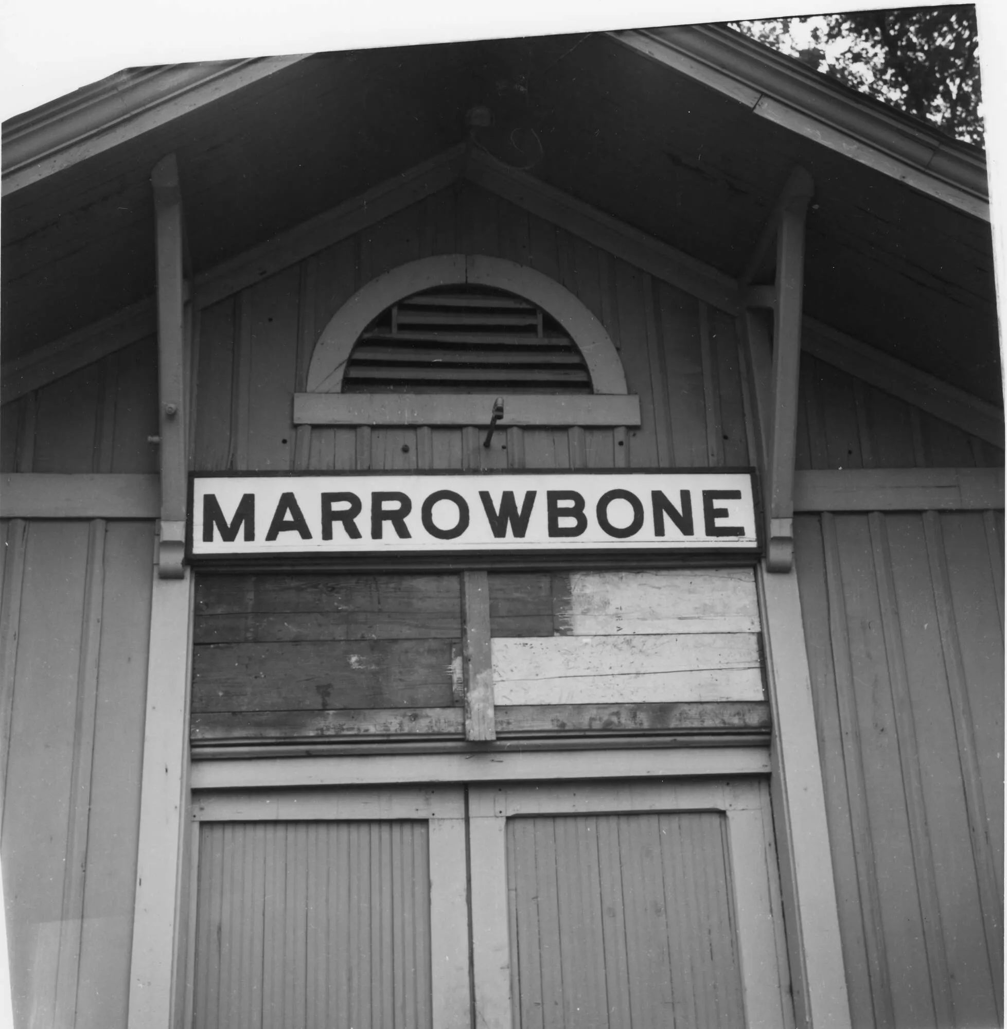
Marrowbone Sub-Division of the Big Sandy Railway
Marrowbone Depot 1961, [ cohs 53634]
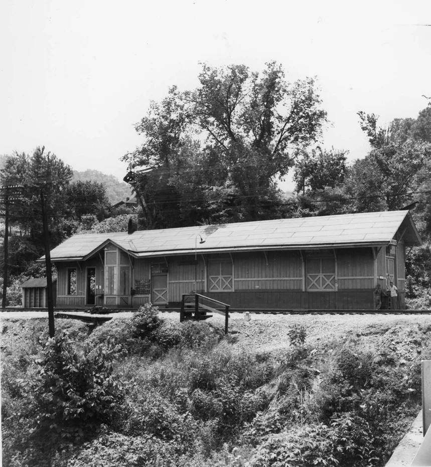
Marrowbone Depot 1961, [cohs 53635]
–
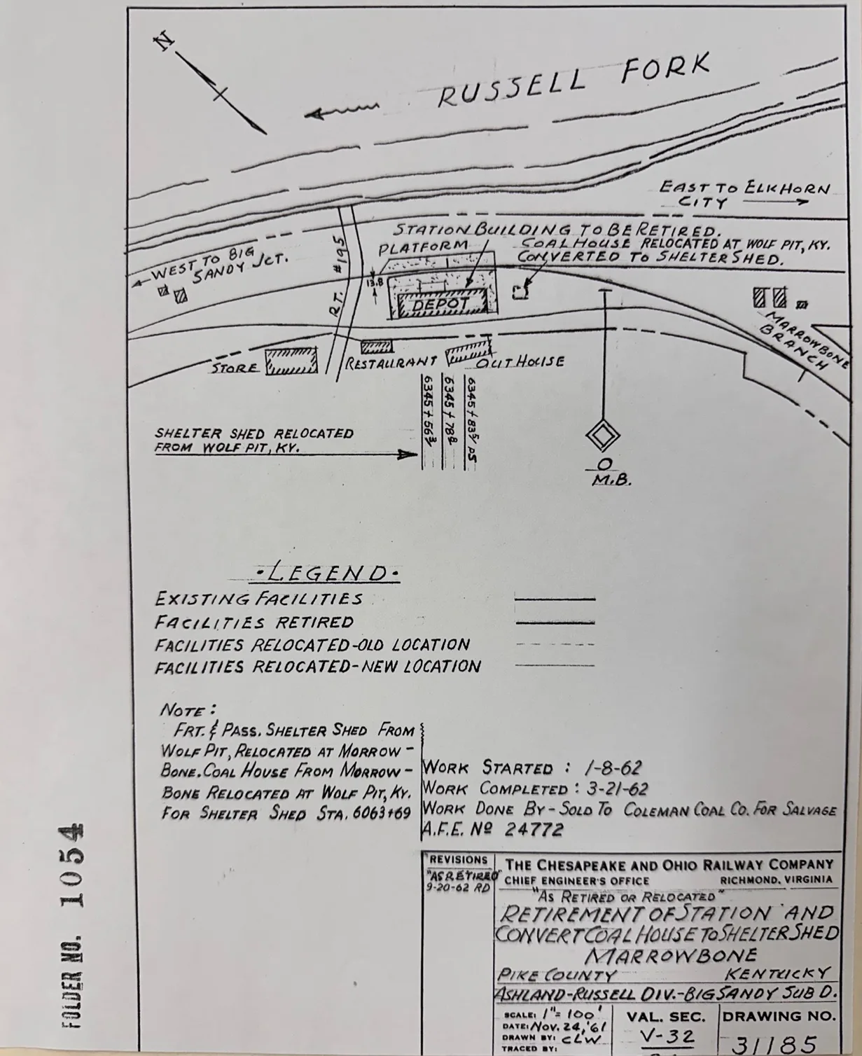
[Blueprint Courtesy C & O Historical Society]
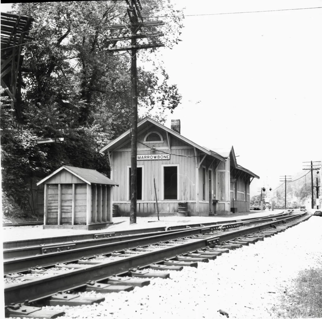
Marrowbone Depot 1961, [ cohs 53636]
–
Marrowbone Sub-Division of the Big Sandy Railway
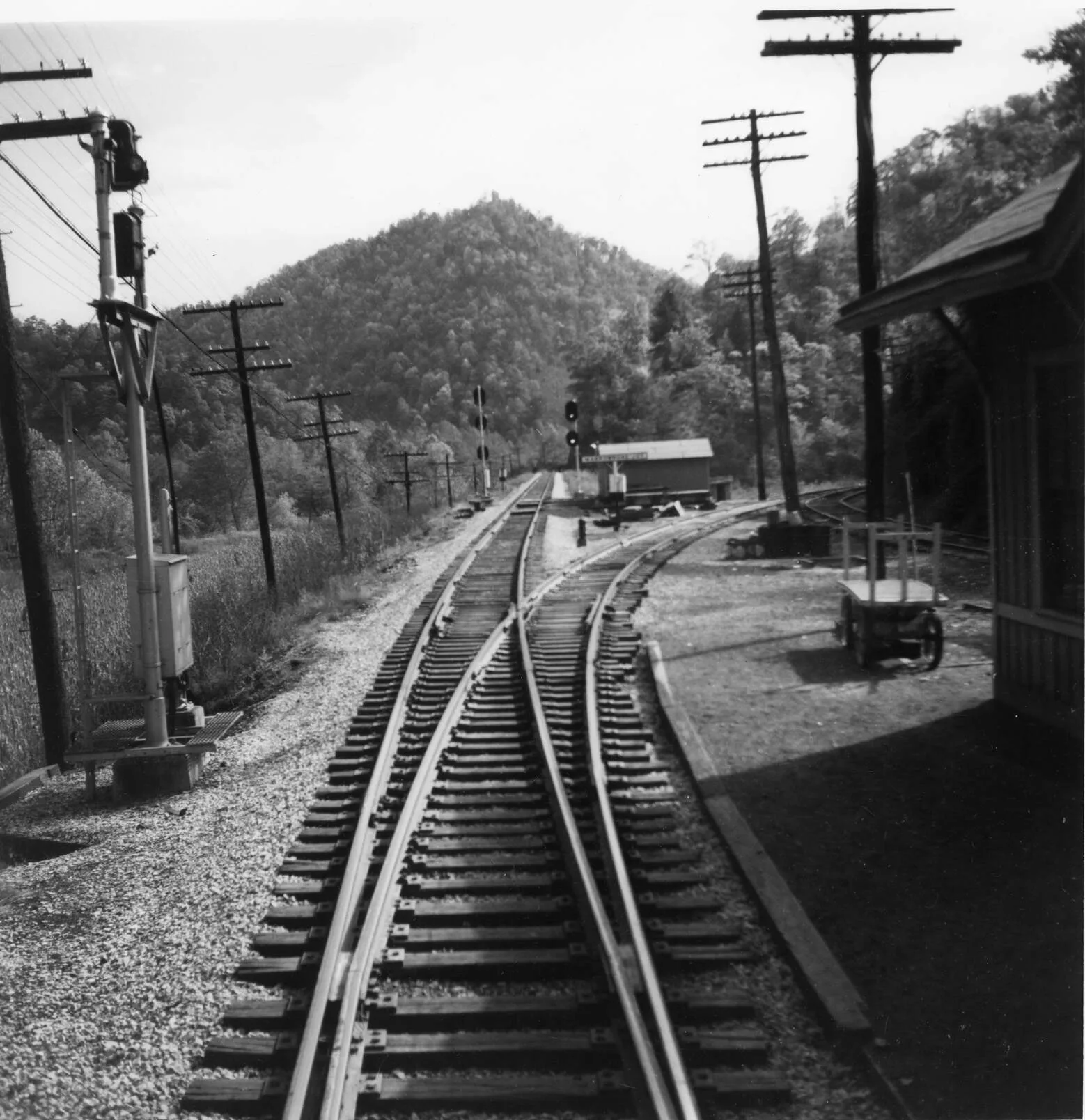
Wolfpit
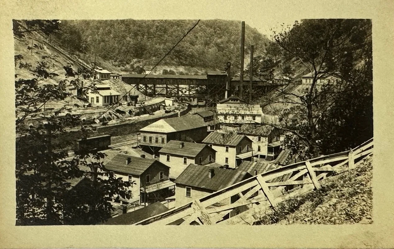
–
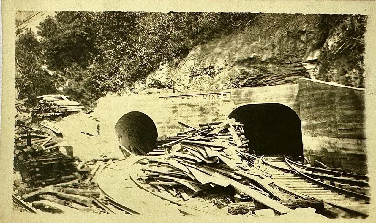
McKinney Steel Company Wolf Pit Mine Portal
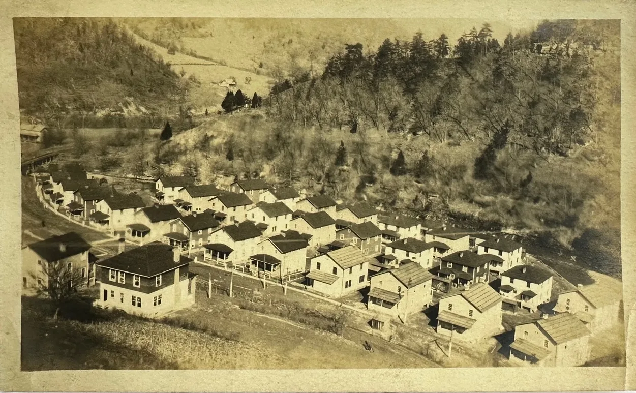
–
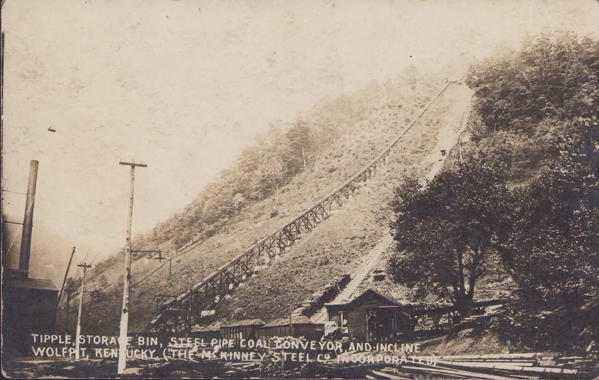
[Wolfpit 1920’s Everett N Young Collection]
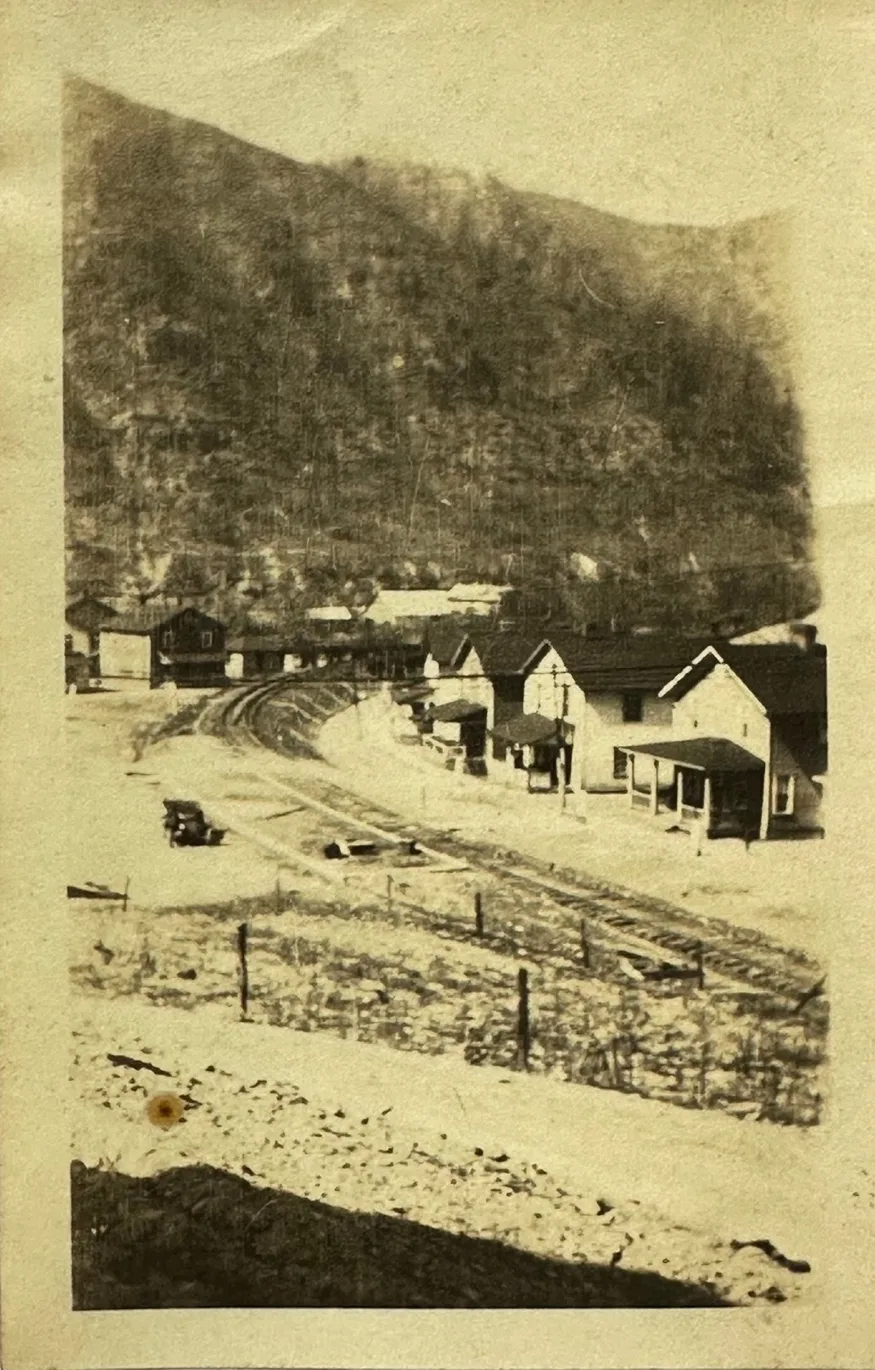
–
Wolfpit Loadout Corrigan/Mckinney Steel Co.
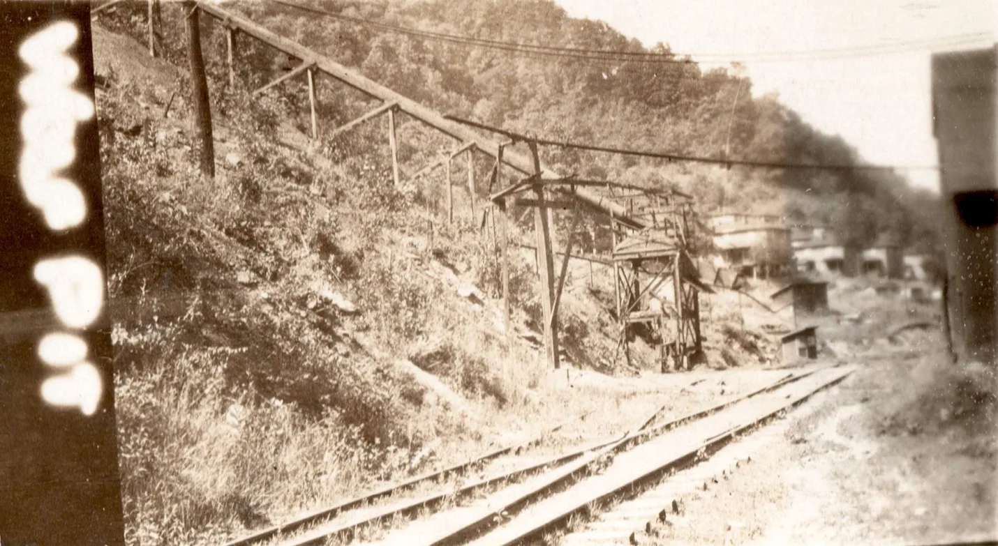
Wolf Pit, The old Corrigan/McKinney Steel Co Tipple, mile post 1.0 [cohs-46348] June 26, 1929
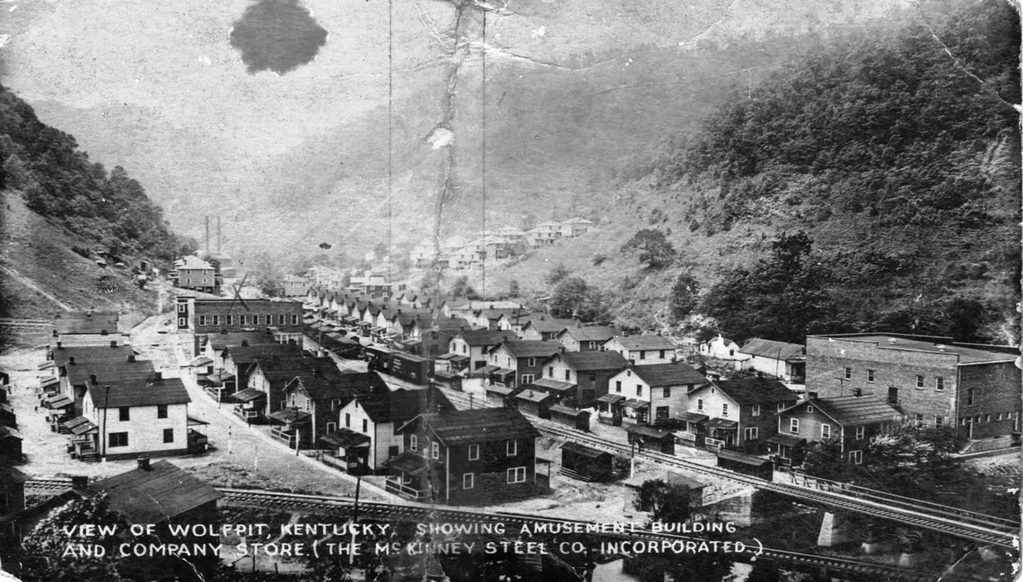
Wolf Pit
Ratcliff
There was a passenger killed here March 14, 1937. The ladies name was Sarah Ratliff. The photo was identified as Ratliff, Kentucky.
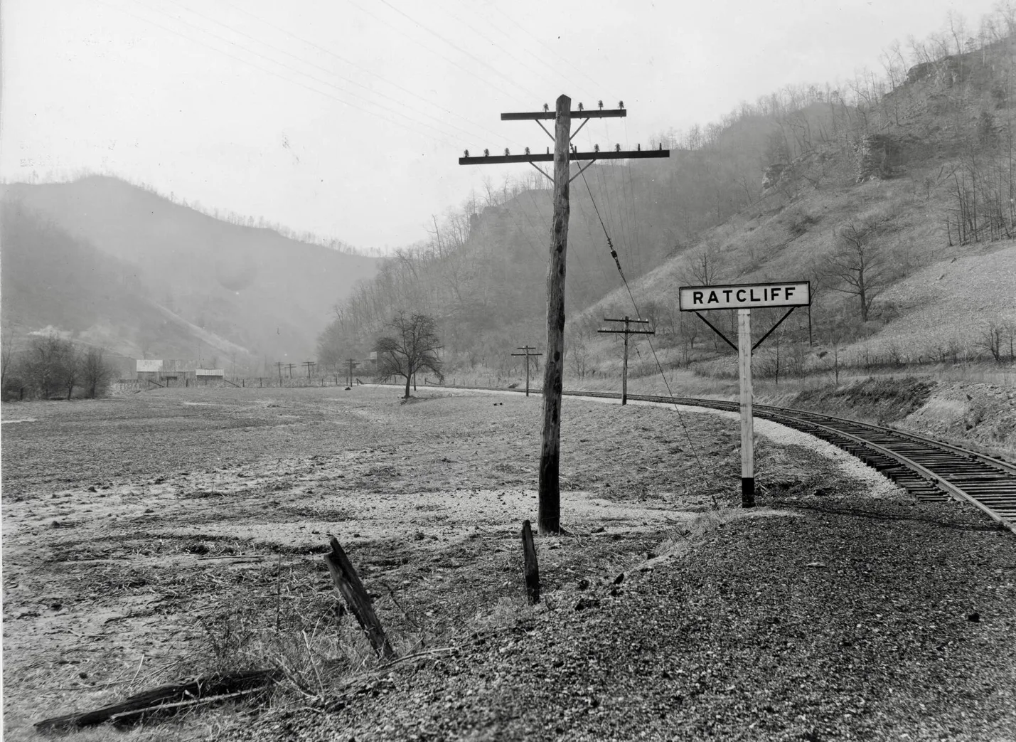
[cohs-53565 Ratliff 1937]
Venters
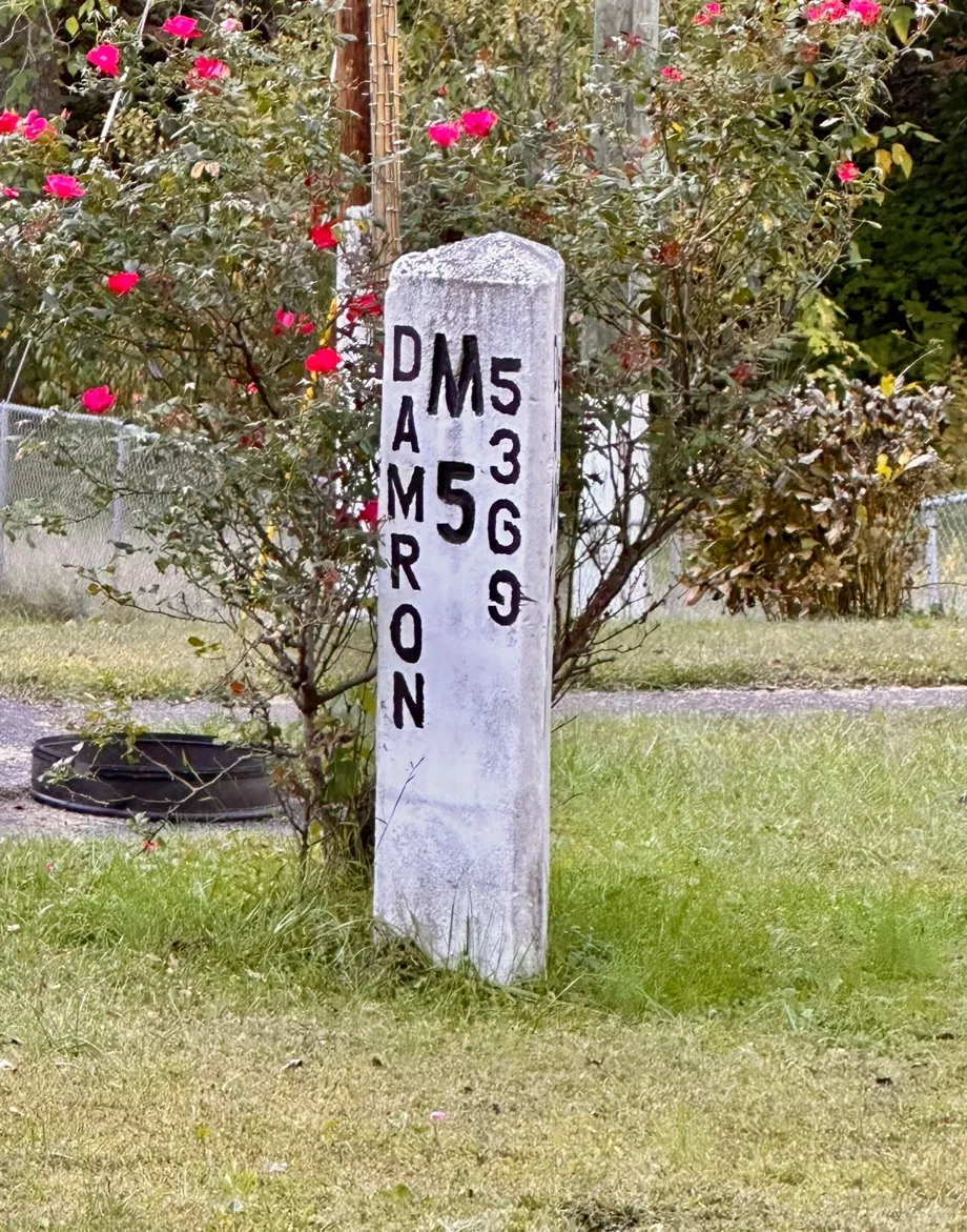
C&O Railway/ Marrowbone Sub-Division Mile Post Maker 5
Rockhouse
Lookout
Henry Clay
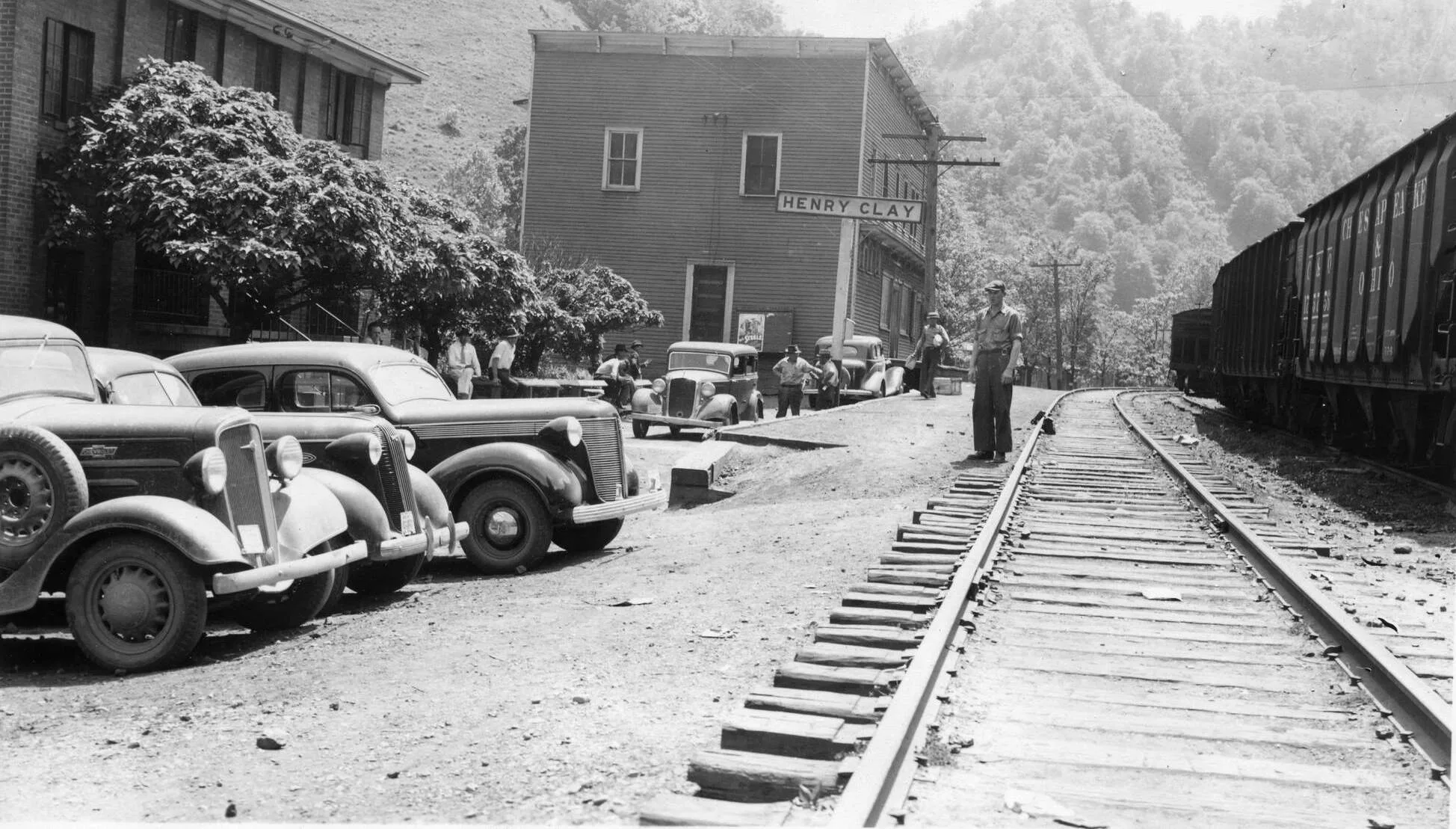
Henry Clay Coal & Coke Co. [cohs-51317] 1937
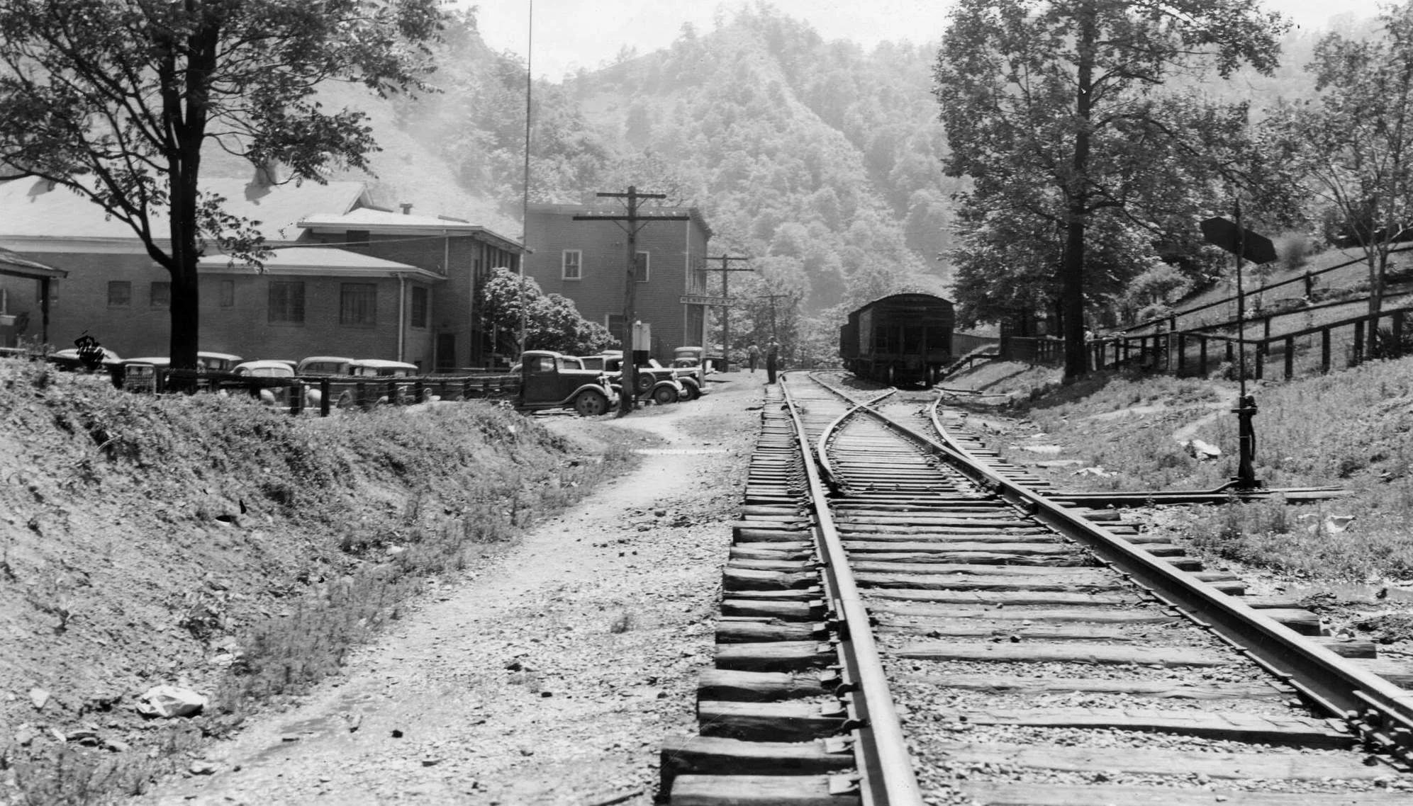
Henry Clay Coal & Coke Co. [cohs-51318] 1937
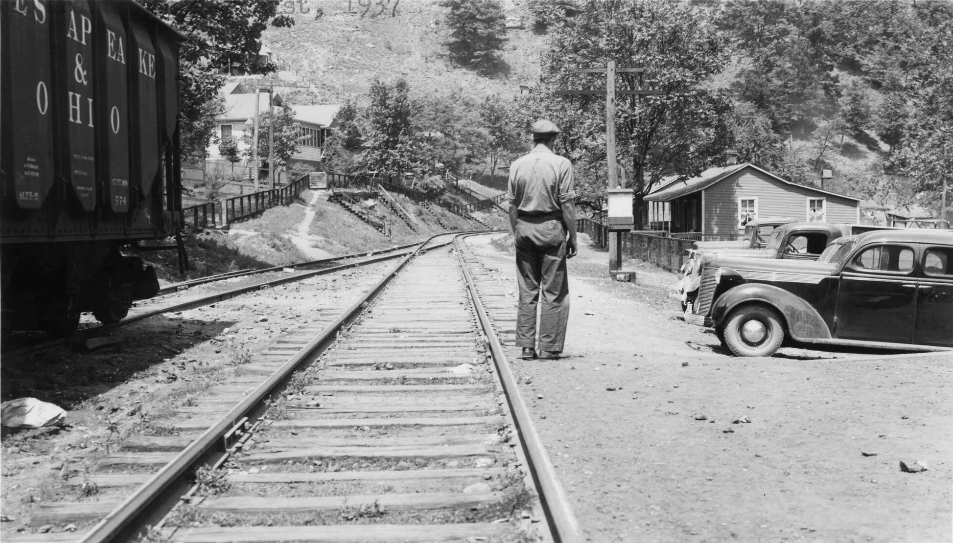
Henry Clay Coal Coke & Co. [cohs-51316] 1937
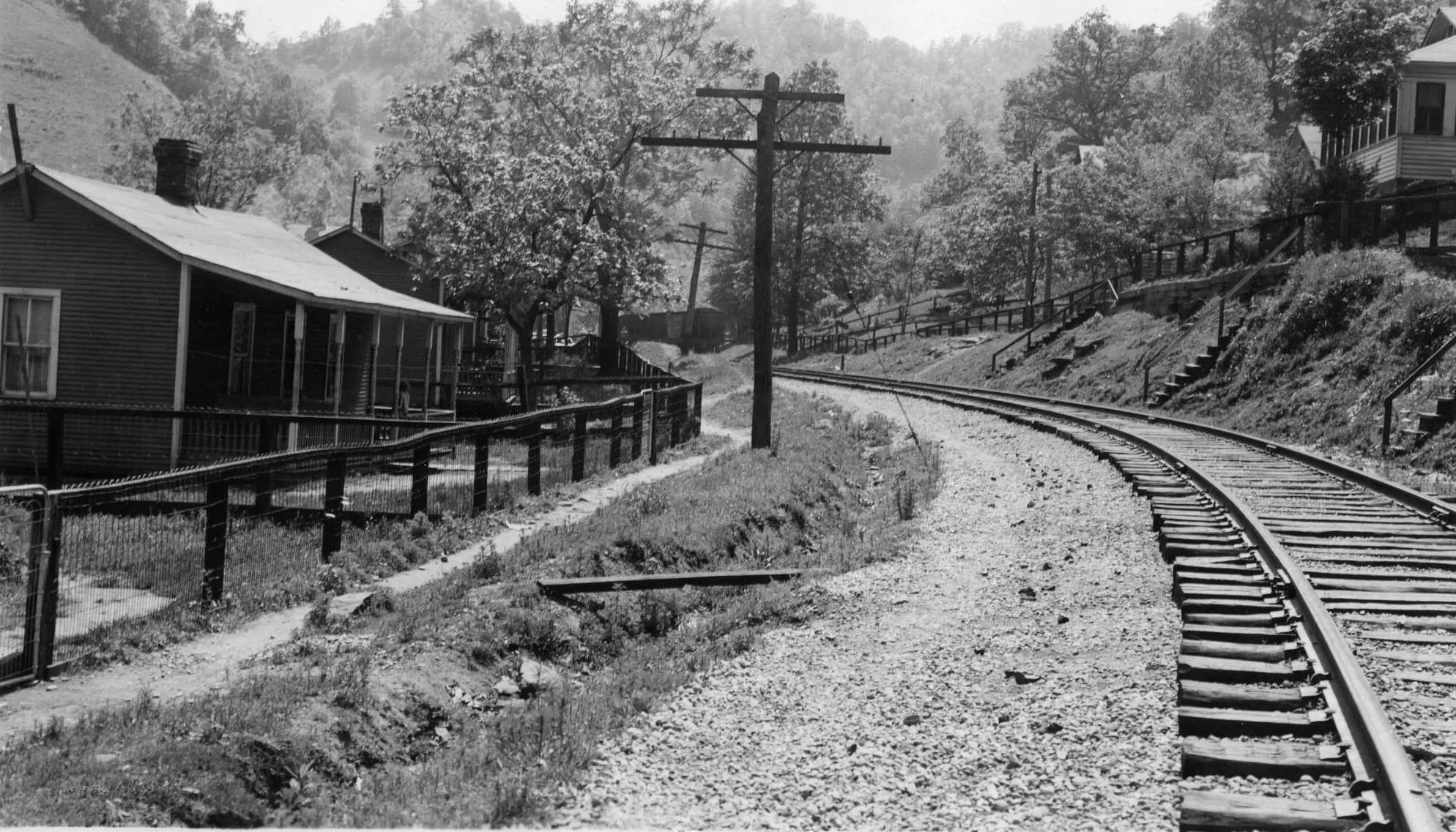
Henry Clay Coal Company & Coke Co. [ cohs-51319] 1937
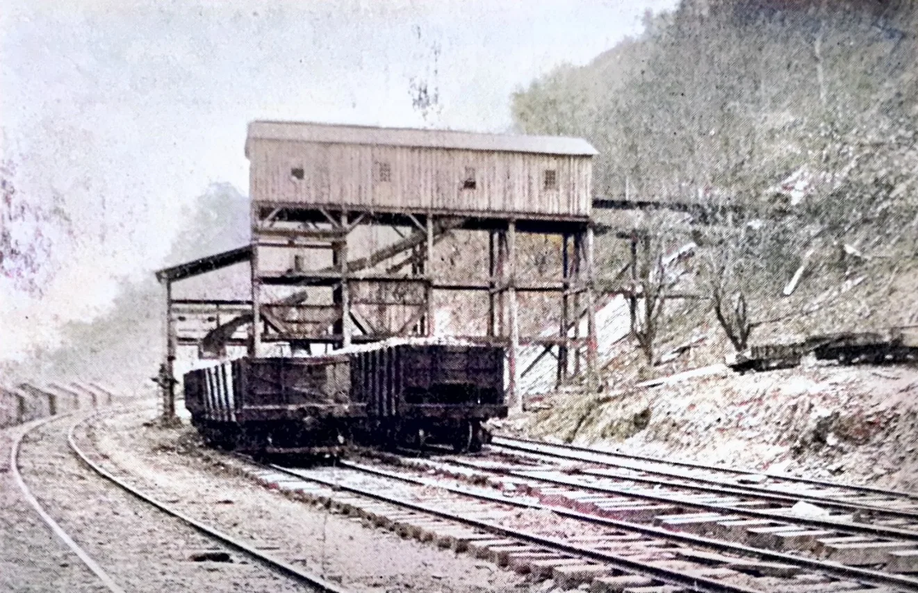
[C & O Shippers Guide 1930]
Big Branch / Edgewater Coal Company
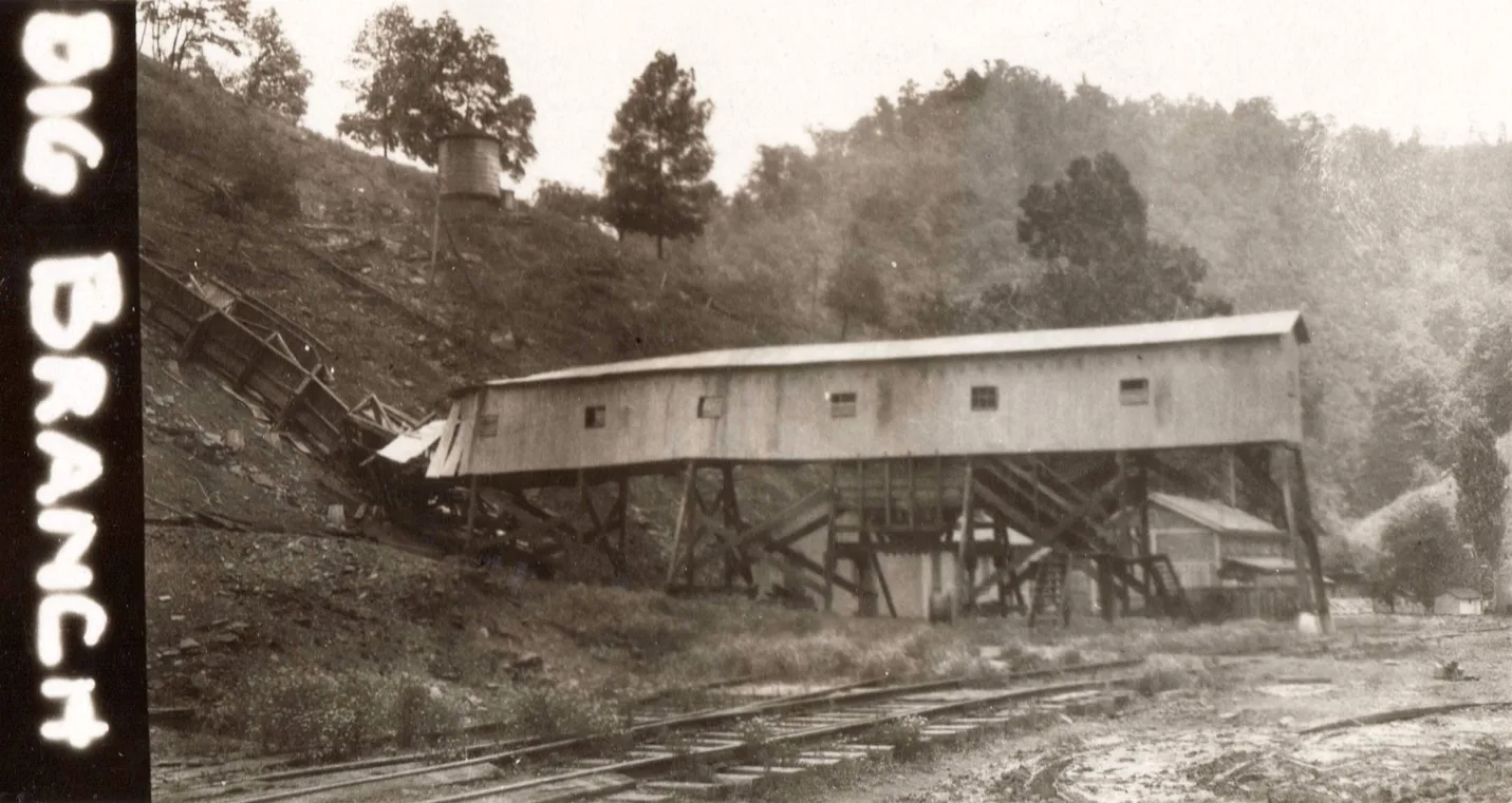
[Big Branch Tipple mile post 6.8 Marrowbone Sub-Railroad [cohs-46349] June 26, 1929]
Coaldale JCT.
Hellier
Edgewater Coal & Coke Company
The Edgewater Coal & Coke Company are miners and shippers of coal from the Elkhorn field.
The officers of this company are Geo. T. Honaker, President, Chicago, I11.; Alexander Irvine, Vice-President, McDowell, W.Va.; Johns W. English, treasurer and Secretary, McDowell, W.Va.; and W. H. Woody, General Manager, Pikeville, Ky.
The express and telegraph office is Hellier, Ky. The post office address if Childers, Kentucky.
The capacity of these mines is 1,000 tons of coal per day. The analysis of the coal is as follows:
| Upper Elkhorn | Lower Elkhorn |
| Water …………………………… 1.538 | 1.425 |
| Volatile Matter …………………. 34.985 | 32.105 |
| Fixed Carbon …………………… 58.367 | 58.435 |
| Sulphur …………………………. .587 | .574 |
| Ash ……………………………… 4.499 | 7.459 |
| Phosphorus ……………………. .0022 | .0039 |
The quality of this coal is unexcelled as a steam producer and has become very popular with consumers.
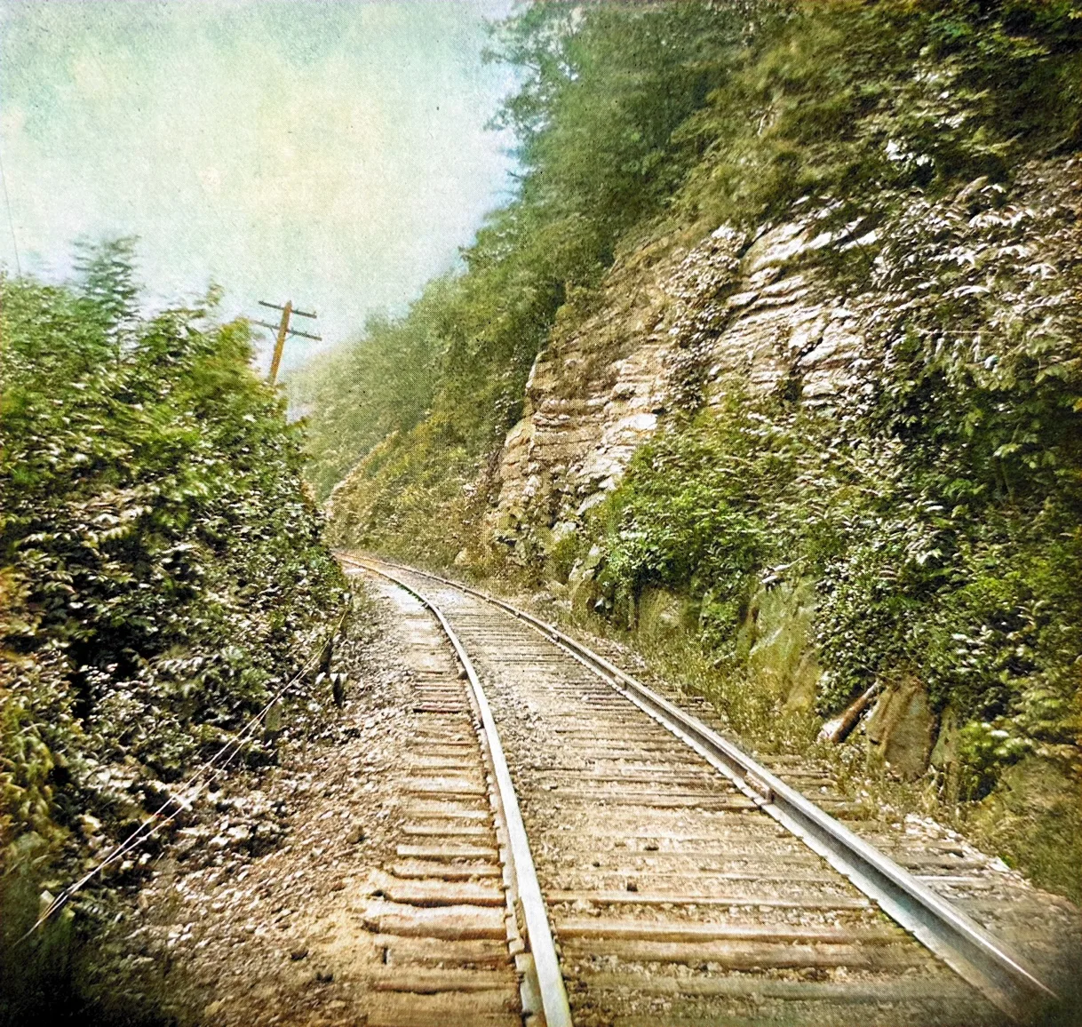
This company has a lease from the Big Sandy Company of 1,500 acres, containing two coal seams.
[Chesapeake & Ohio Railway Co, Official Industrial Guide and Shippers’ Directory 1930]
Coaldale Tipple of Edgewater Coal
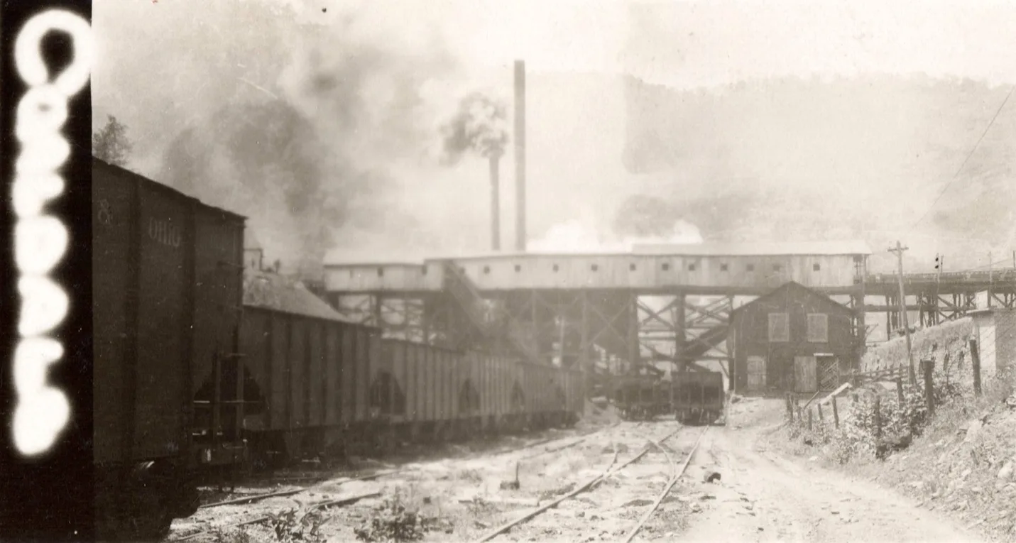
Marrowbone Railroad Sub-Division [cohs-46347] June 26, 1929.
Greenough
Alleghany Tipple
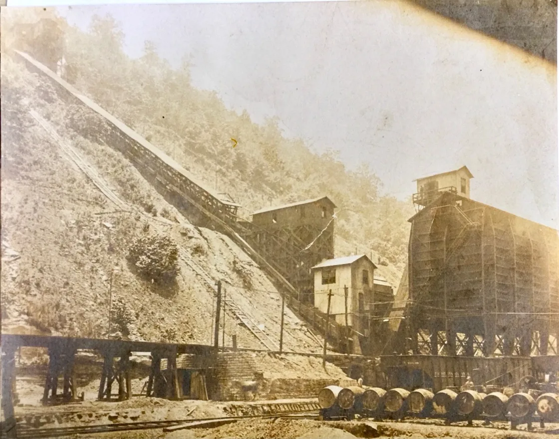
Alleghany Tipple 1930 photo courtesy of Dan Childers
Coaldale Tipple of Edgewater Coal, according to C&O files.
Marrowbone Railroad Sub-Division mile post [cohs-46347] June 26, 1929.
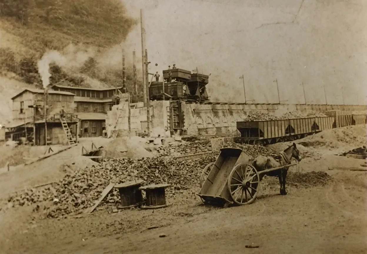
Alleghany Mitchell Coke Ovens photo courtesy of Dan Childers
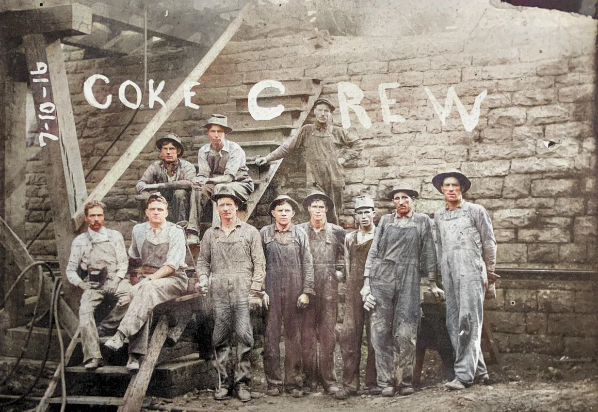
Mitchell Coke Ovens Alleghany
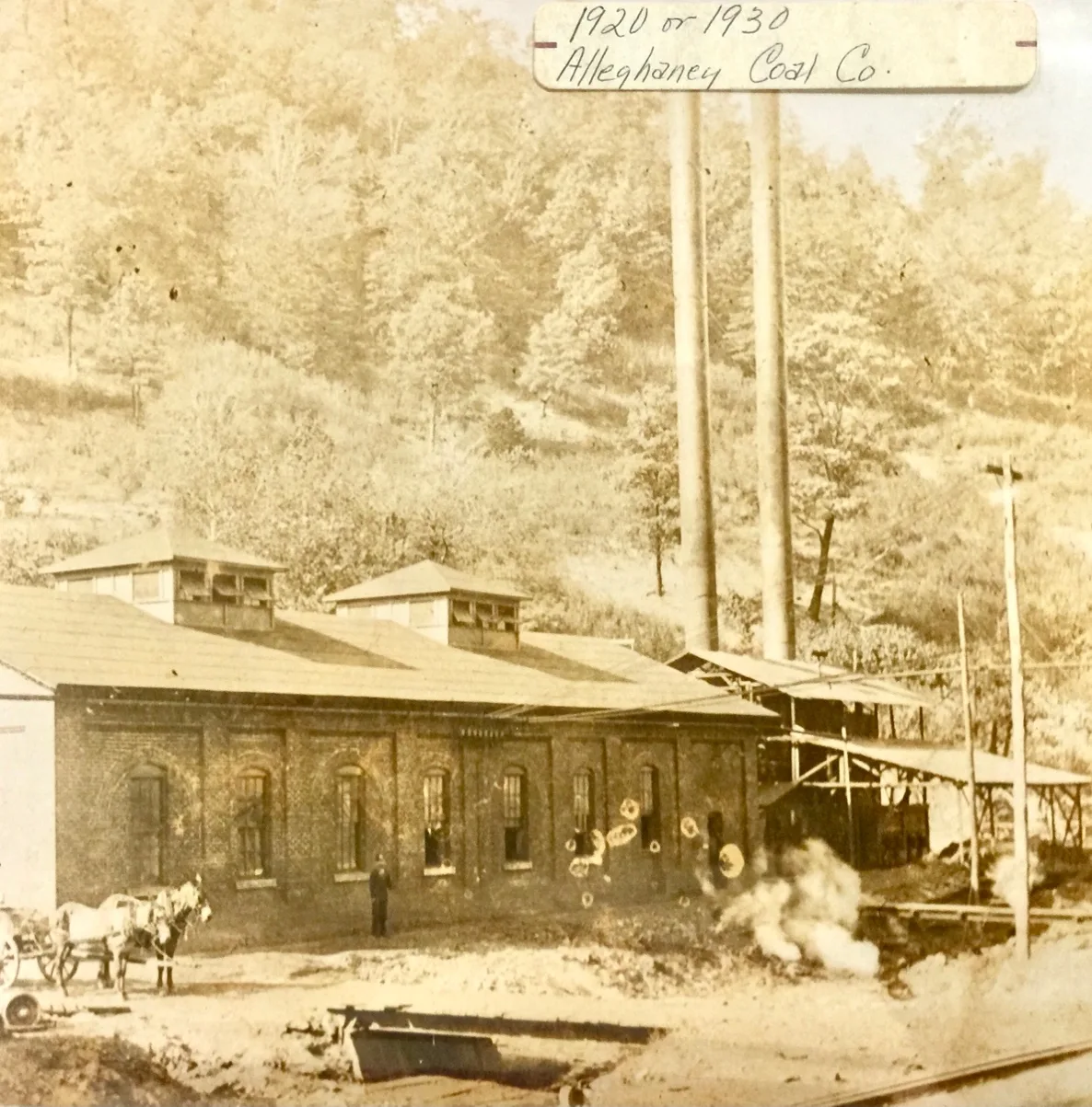
[Alleghany Coal Power Plant 1920 or 1930 photo courtesy of Dan Childers]
Manco
Continuing up the Big Sandy Railway Sub-Division
Road Creek Sub-Division
Draffin
Belcher
Beaver/ Mikegrady
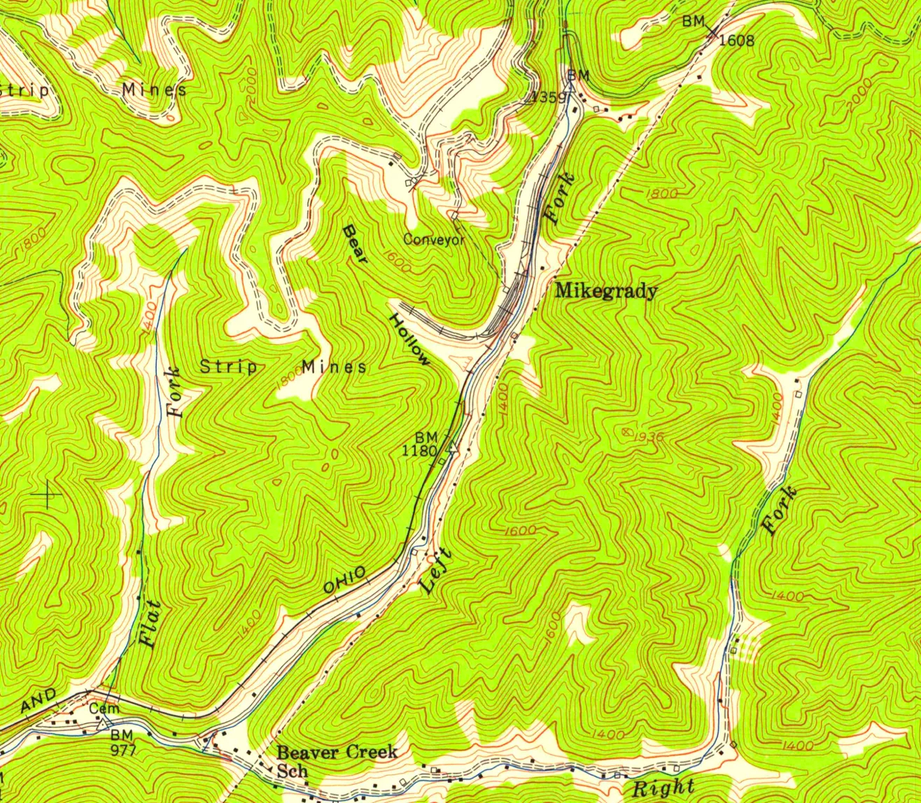
Dunleary
Federal
Praise/Elkhorn City
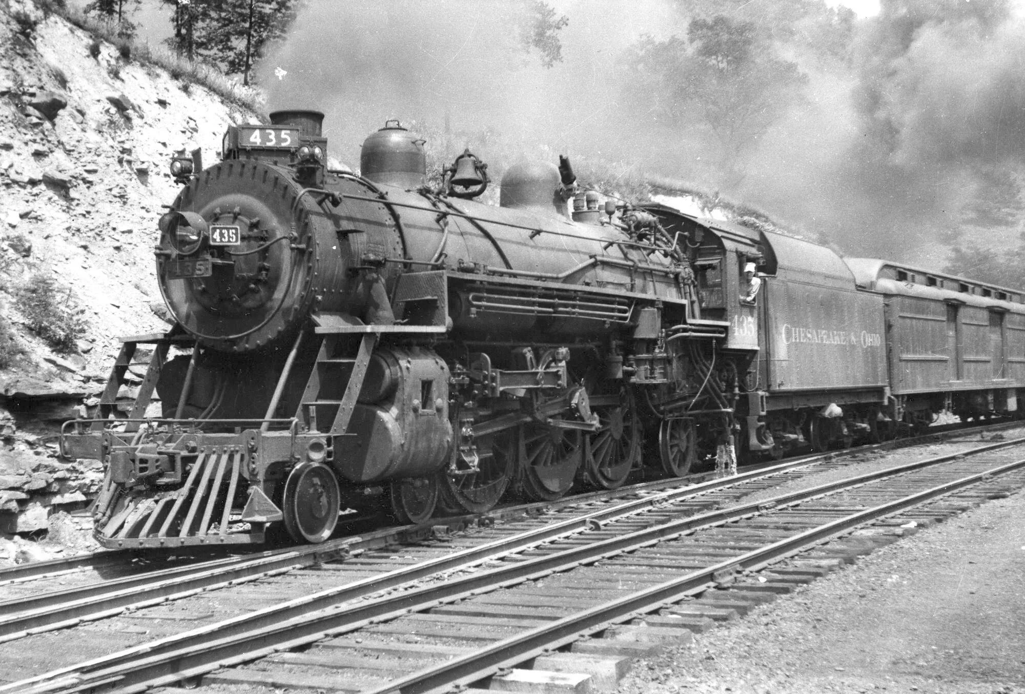
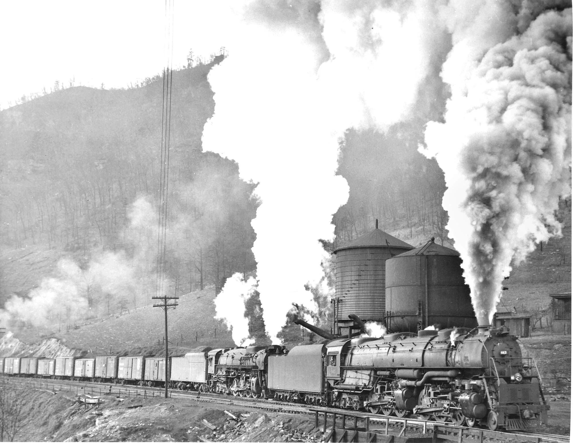
C&O Engine NO. F-15 #435 Elkhorn City, Ky. (chos 35116) July 1, 1947
[K-4 #2775 DOUBLEHEADS WITH CLINCHFIELD 4-6-6-4#663 ON A MANIFEST AT ELKHORN CITY, KY 1952 C&O STEEL AND WOOD WATER TANKS ON MAIN LINE AT ELKHORN CITY, KY]
Carson By-Products
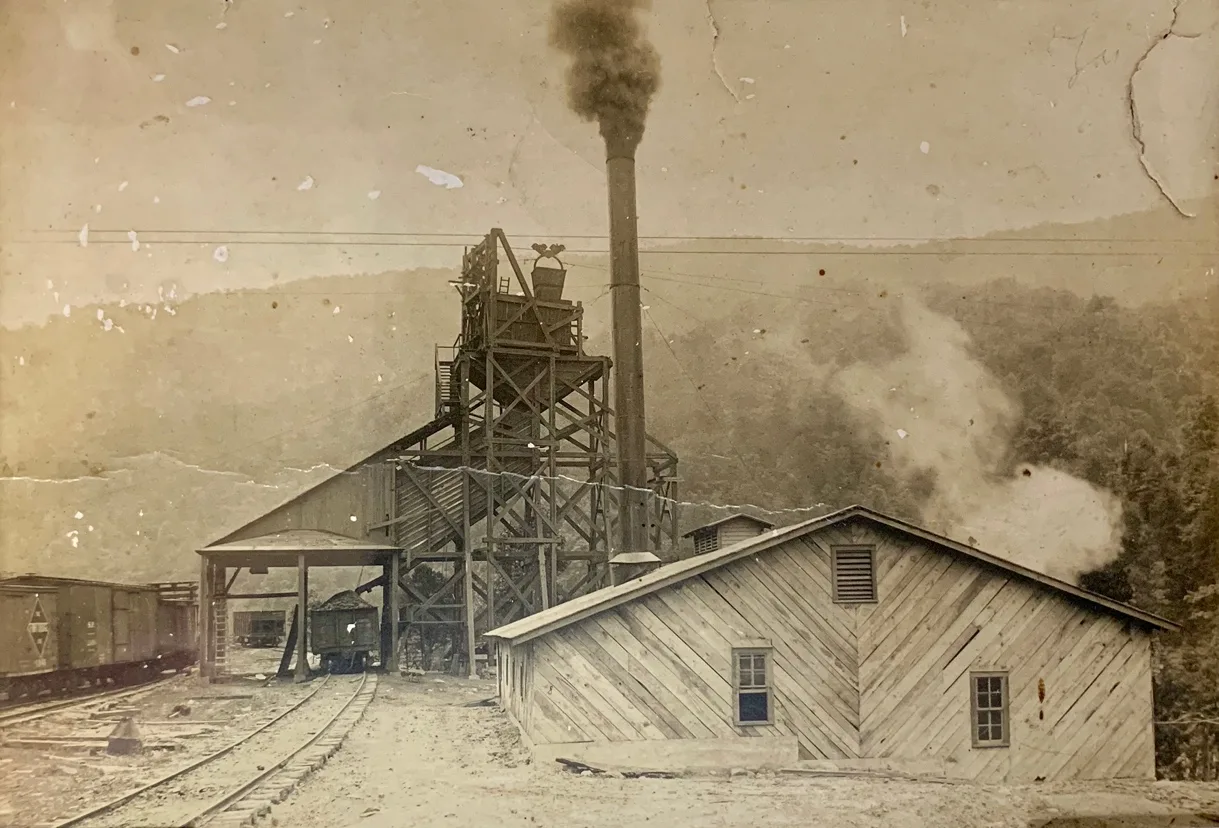
Carson By-Products Siding adjacent Ohio Street, East Elkhorn
[Photo courtesy of Paul Clynton Mullins]
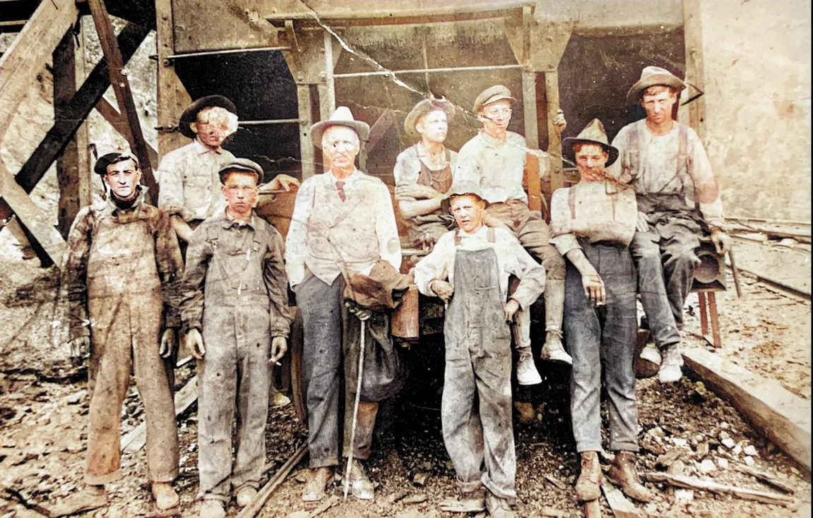
East Elkhorn